


Saar Cycle Path
Stopnja težavnosti: 2


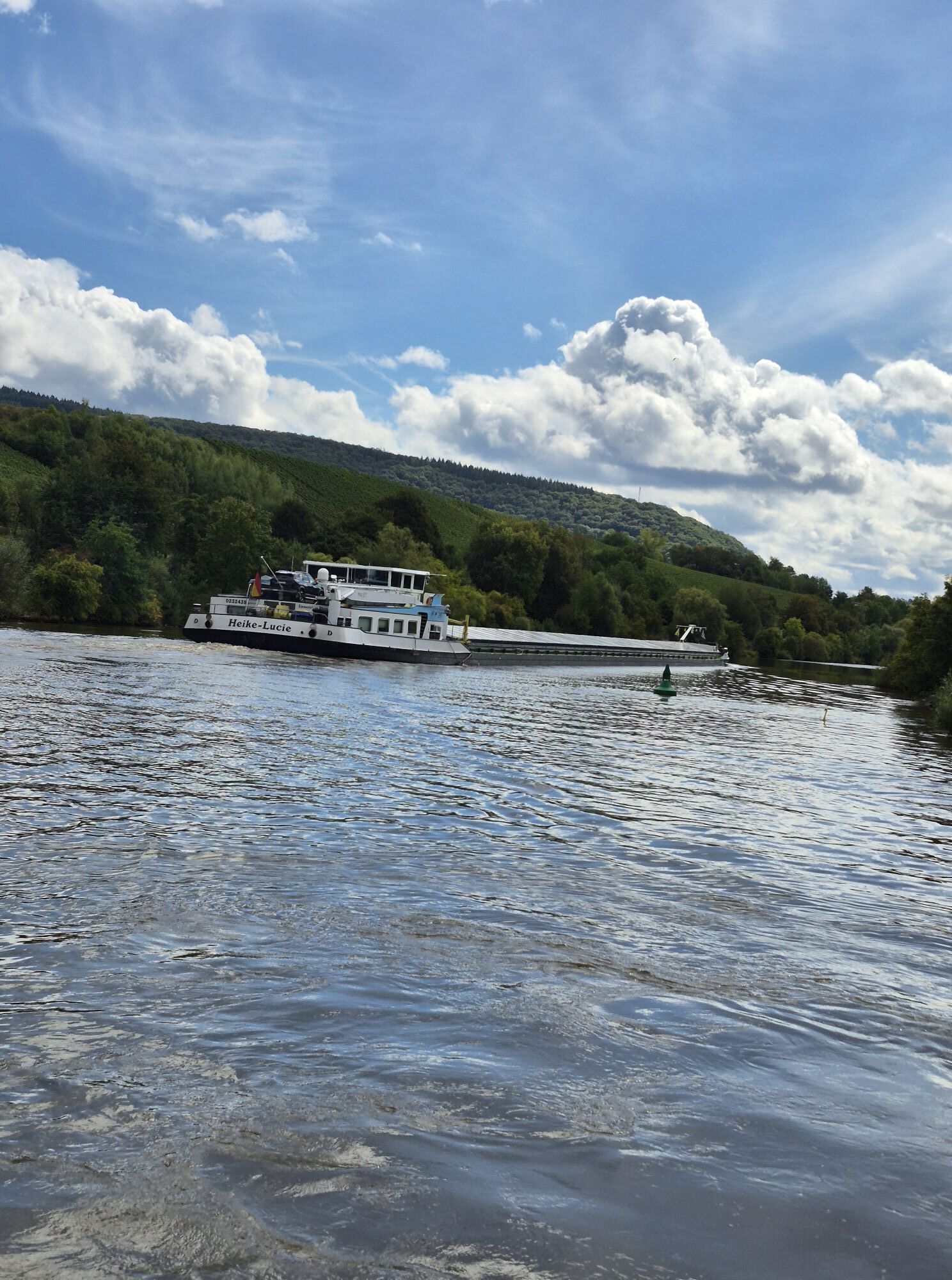
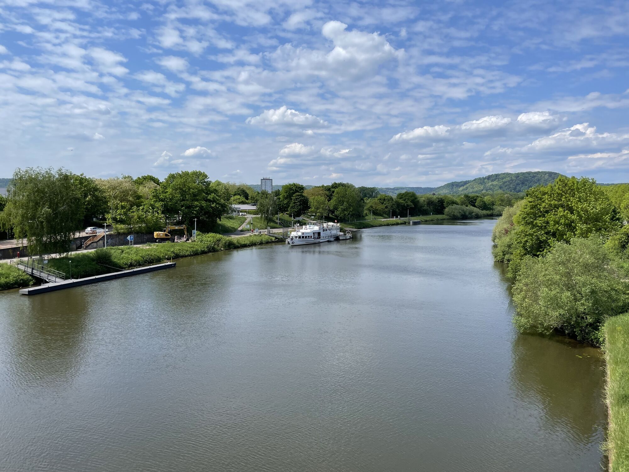
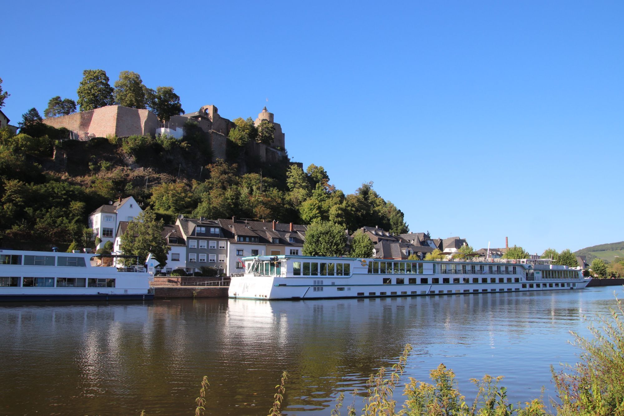
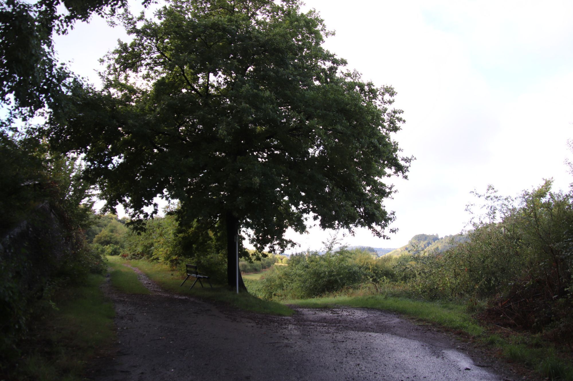
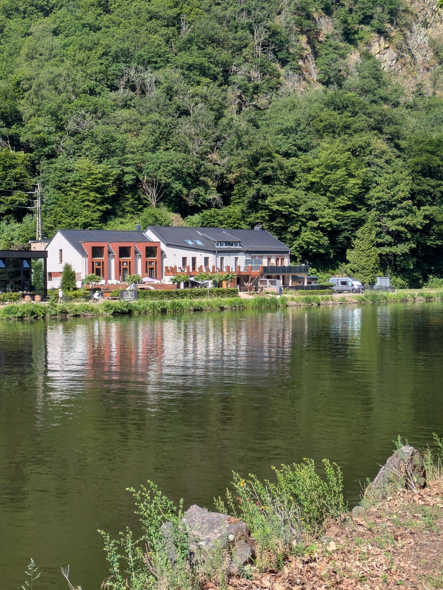
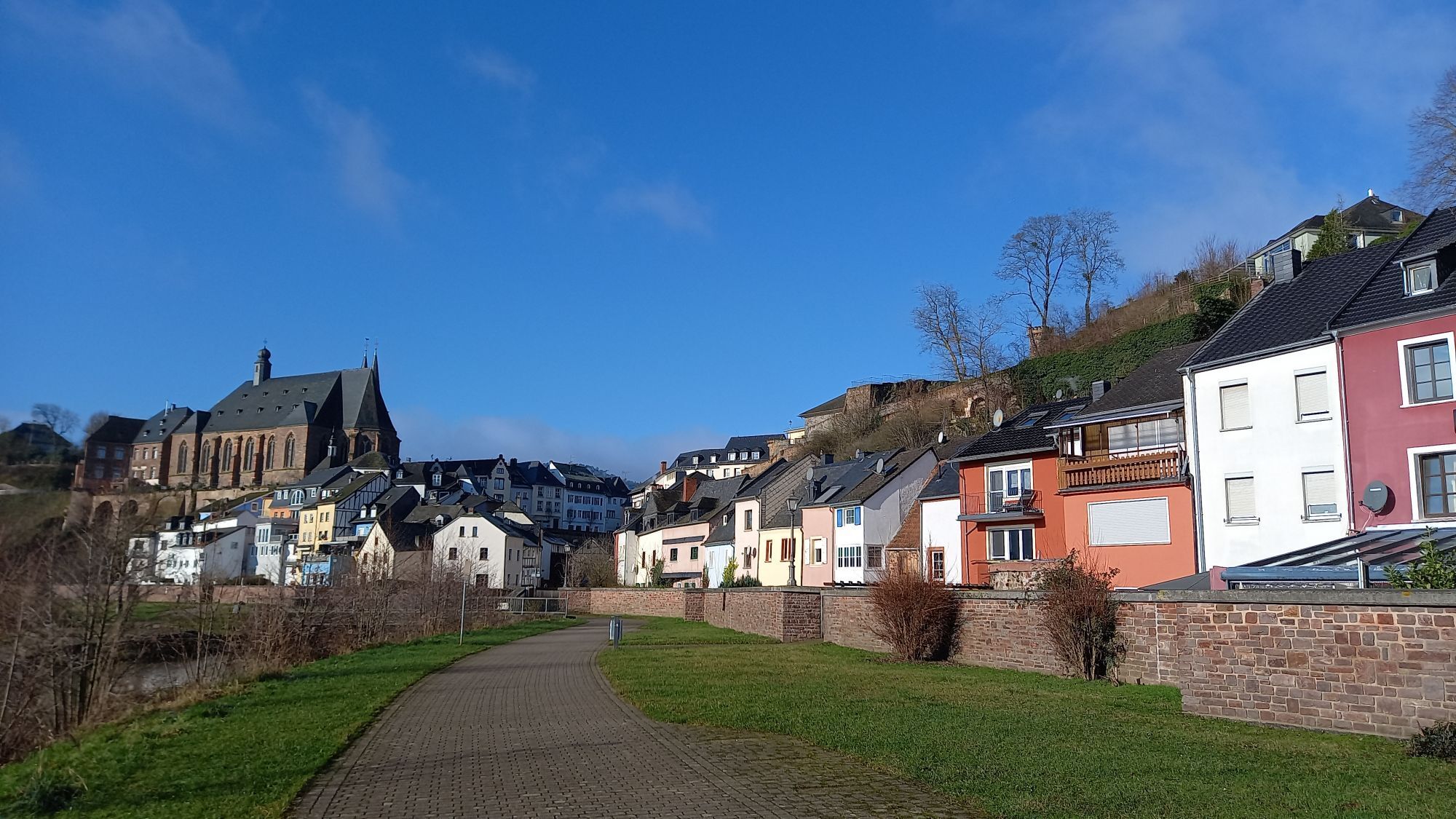
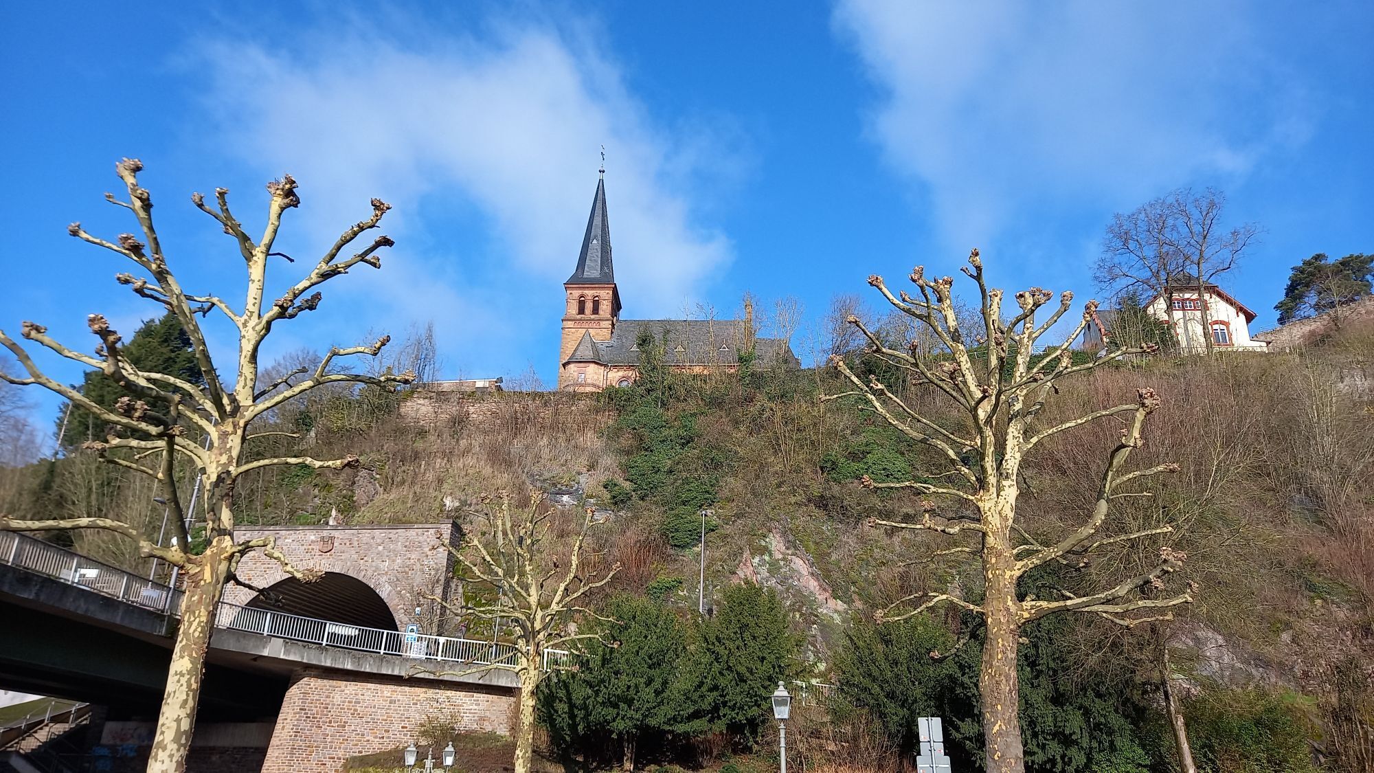
Fotografije naših uporabnikov
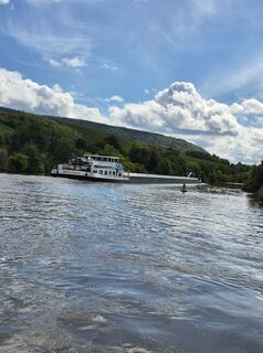
 © Rudolf BucherUstvarjeno na 14.09.2025
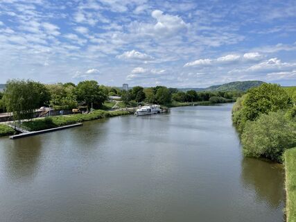
 © SvetieUstvarjeno na 08.05.2025
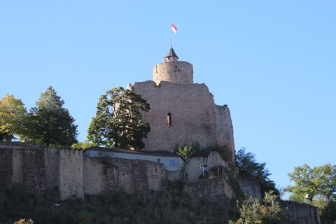
 © Günter KleutschUstvarjeno na 19.09.2025
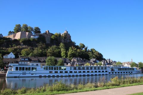 © Günter KleutschUstvarjeno na 19.09.2025
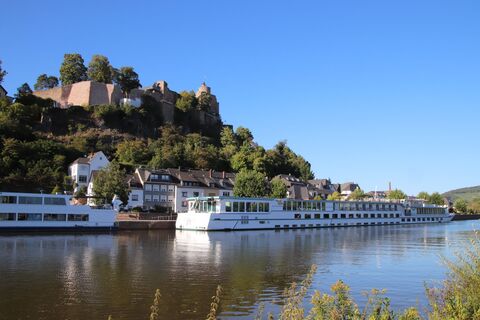 © Günter KleutschUstvarjeno na 19.09.2025
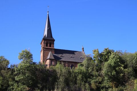 © Günter KleutschUstvarjeno na 19.09.2025
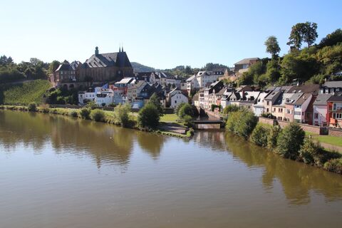 © Günter KleutschUstvarjeno na 19.09.2025
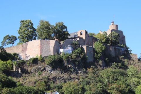 © Günter KleutschUstvarjeno na 19.09.2025
 © Patrick EwertUstvarjeno na 18.09.2025
 © Patrick EwertUstvarjeno na 18.09.2025
 © Patrick EwertUstvarjeno na 18.09.2025
 © Günter KleutschUstvarjeno na 14.09.2025
 © Günter KleutschUstvarjeno na 14.09.2025
 © Günter KleutschUstvarjeno na 14.09.2025
 © Günter KleutschUstvarjeno na 14.09.2025
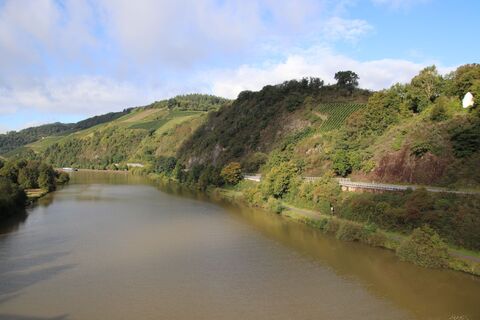 © Günter KleutschUstvarjeno na 14.09.2025
 © Günter KleutschUstvarjeno na 14.09.2025
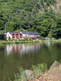
 © speroni1959Ustvarjeno na 31.05.2025
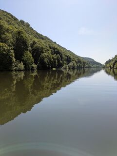 © speroni1959Ustvarjeno na 31.05.2025
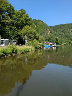 © speroni1959Ustvarjeno na 31.05.2025
 © Günter KleutschUstvarjeno na 01.02.2025
 © Günter KleutschUstvarjeno na 01.02.2025
 © Ralf UmmingerUstvarjeno na 09.09.2023
 © Ralf UmmingerUstvarjeno na 09.09.2023
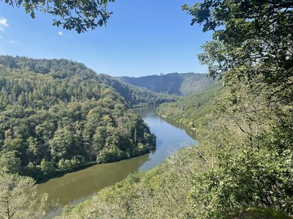 © Ralf UmmingerUstvarjeno na 09.09.2023
 © Ralf UmmingerUstvarjeno na 09.09.2023
 © Ralf UmmingerUstvarjeno na 09.09.2023
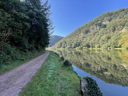 © Ralf UmmingerUstvarjeno na 09.09.2023


Particularly worth seeing are the city of Saarbrücken with its baroque buildings, the Völklinger Hütte UNESCO World Heritage Site, the fortress city of Saarlouis, the city of Merzig with its wolf park,...
Particularly worth seeing are the city of Saarbrücken with its baroque buildings, the Völklinger Hütte UNESCO World Heritage Site, the fortress city of Saarlouis, the city of Merzig with its wolf park, the Saarschleife, the lifestyle provider Villeroy & Boch, and the picturesque town of Saarburg.
Due to extensive renovation work, there are disruptions between Merzig and Taben-Rodt. Detours are signposted.
More information here
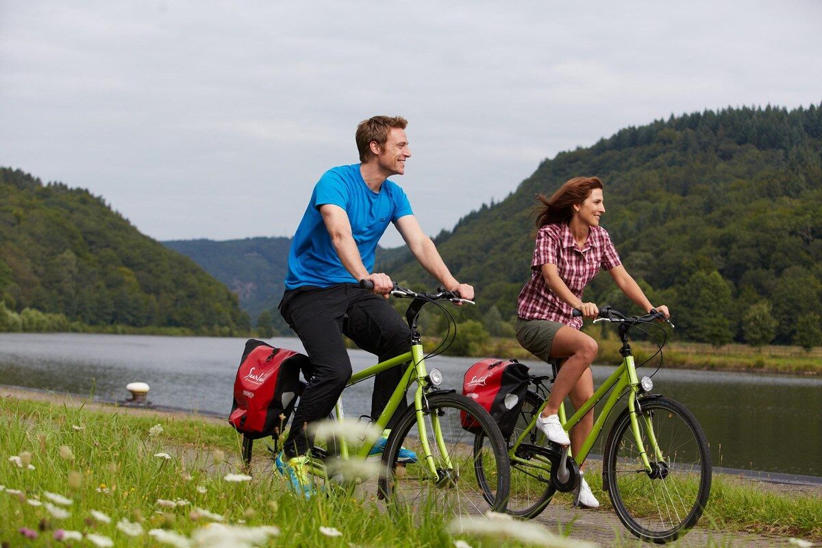
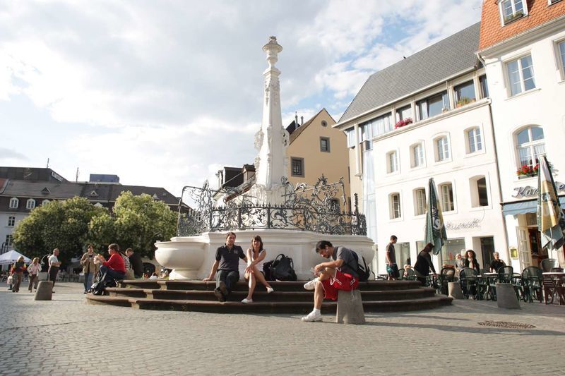
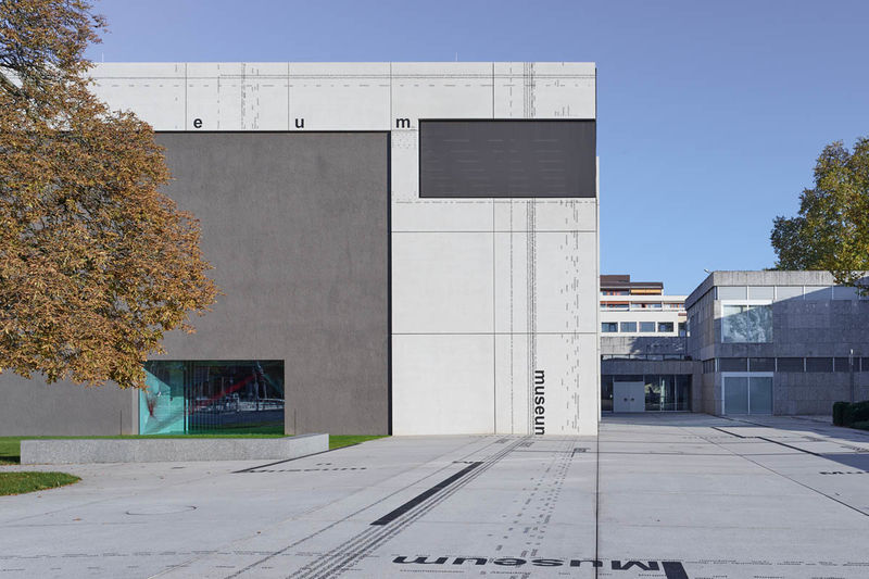
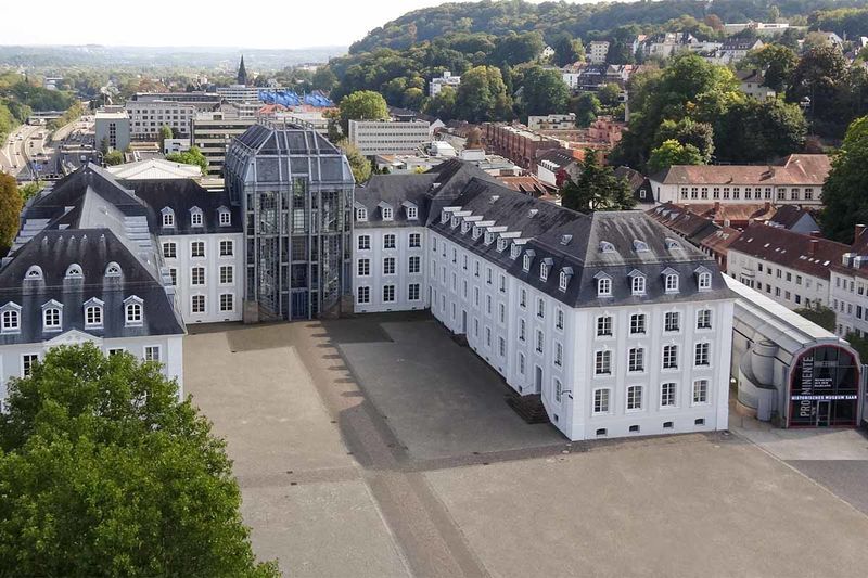
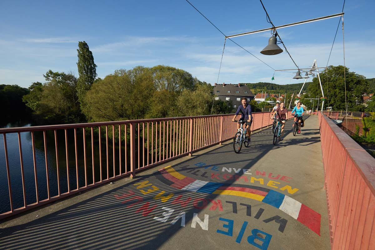
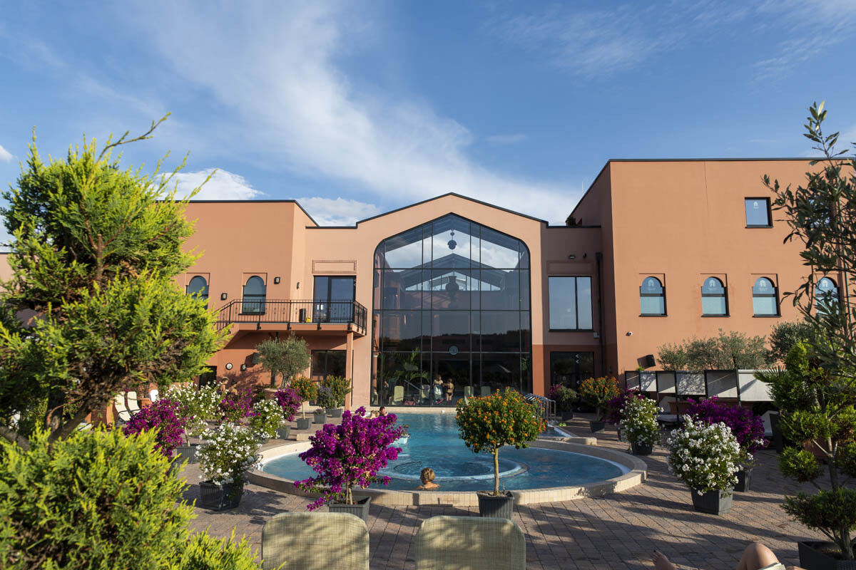
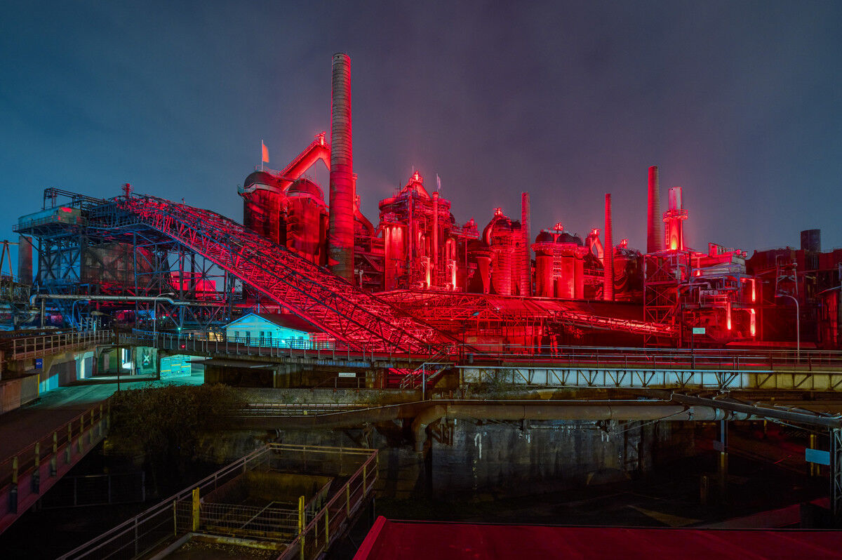
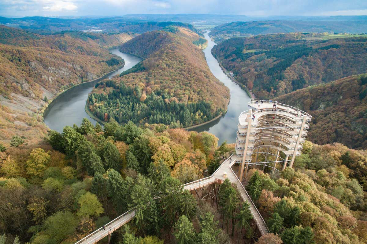
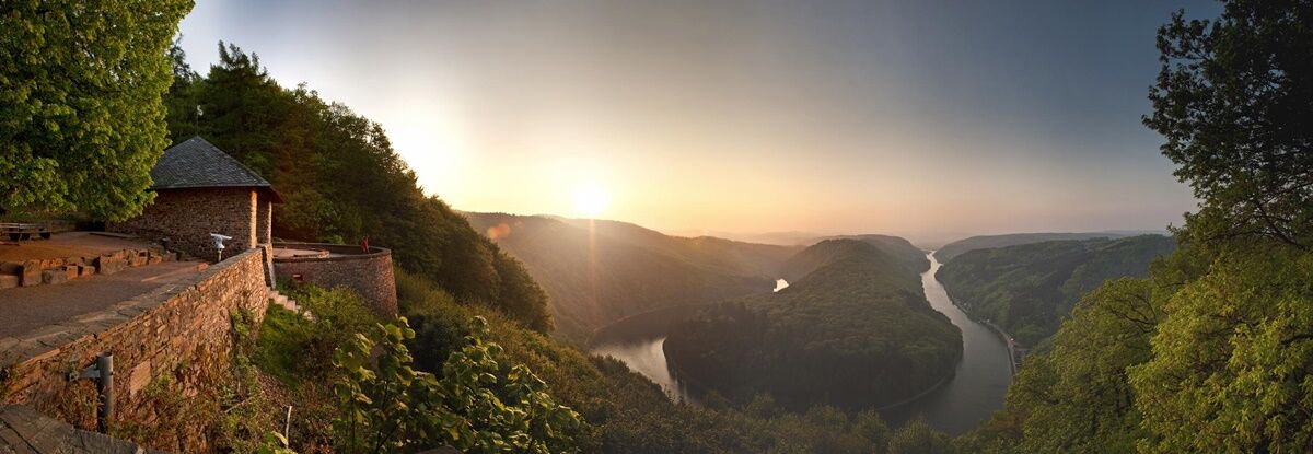
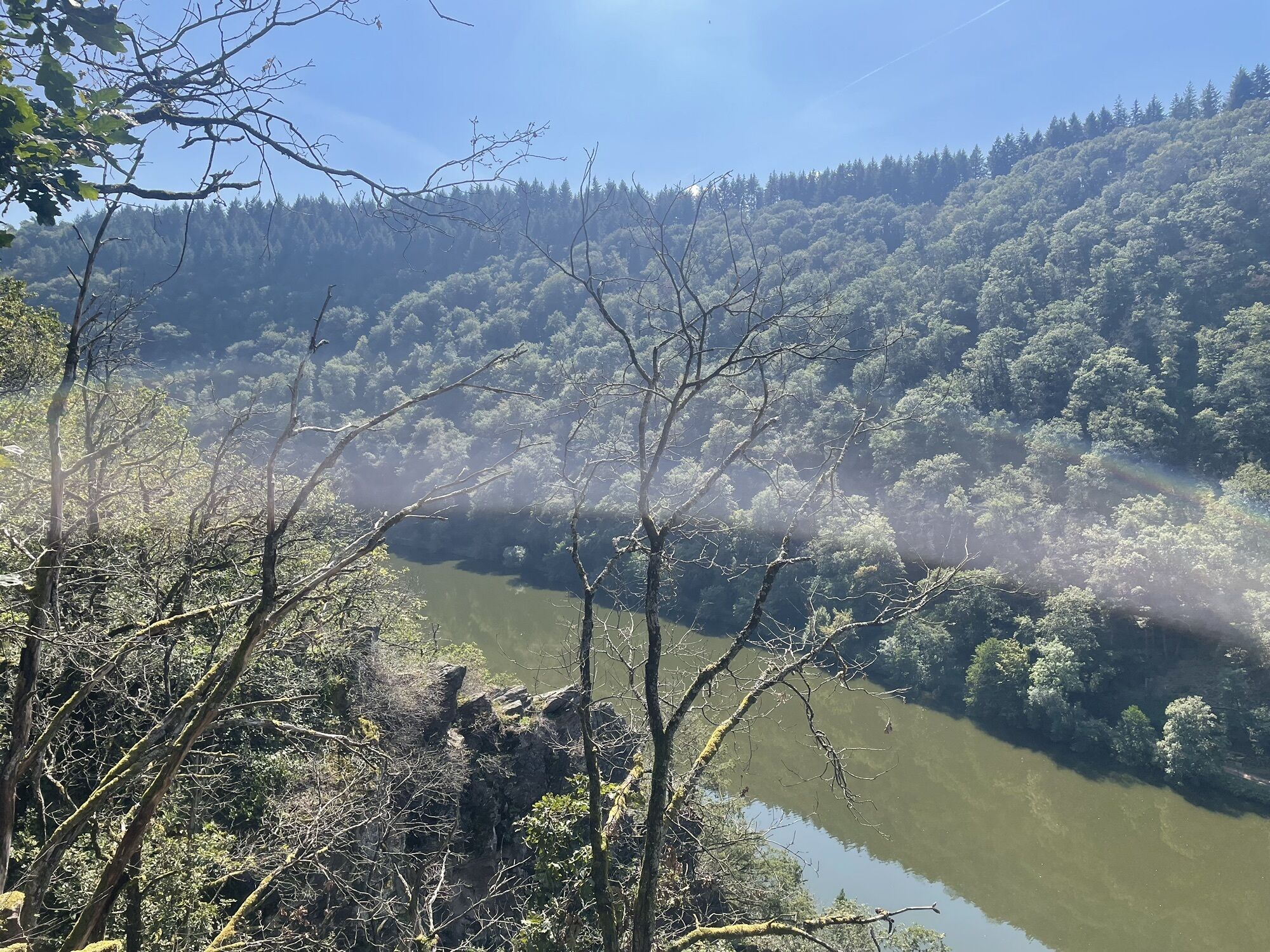
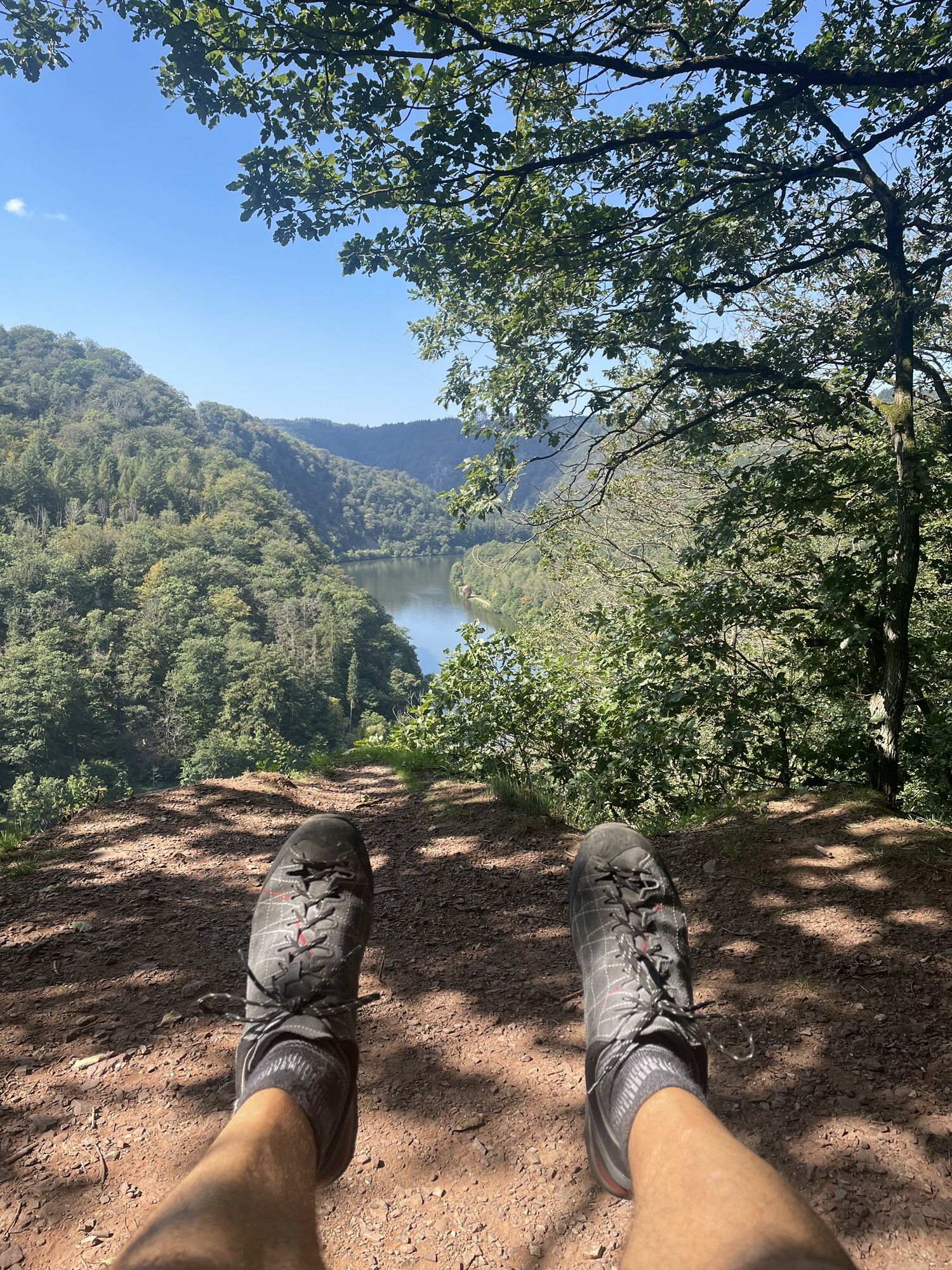
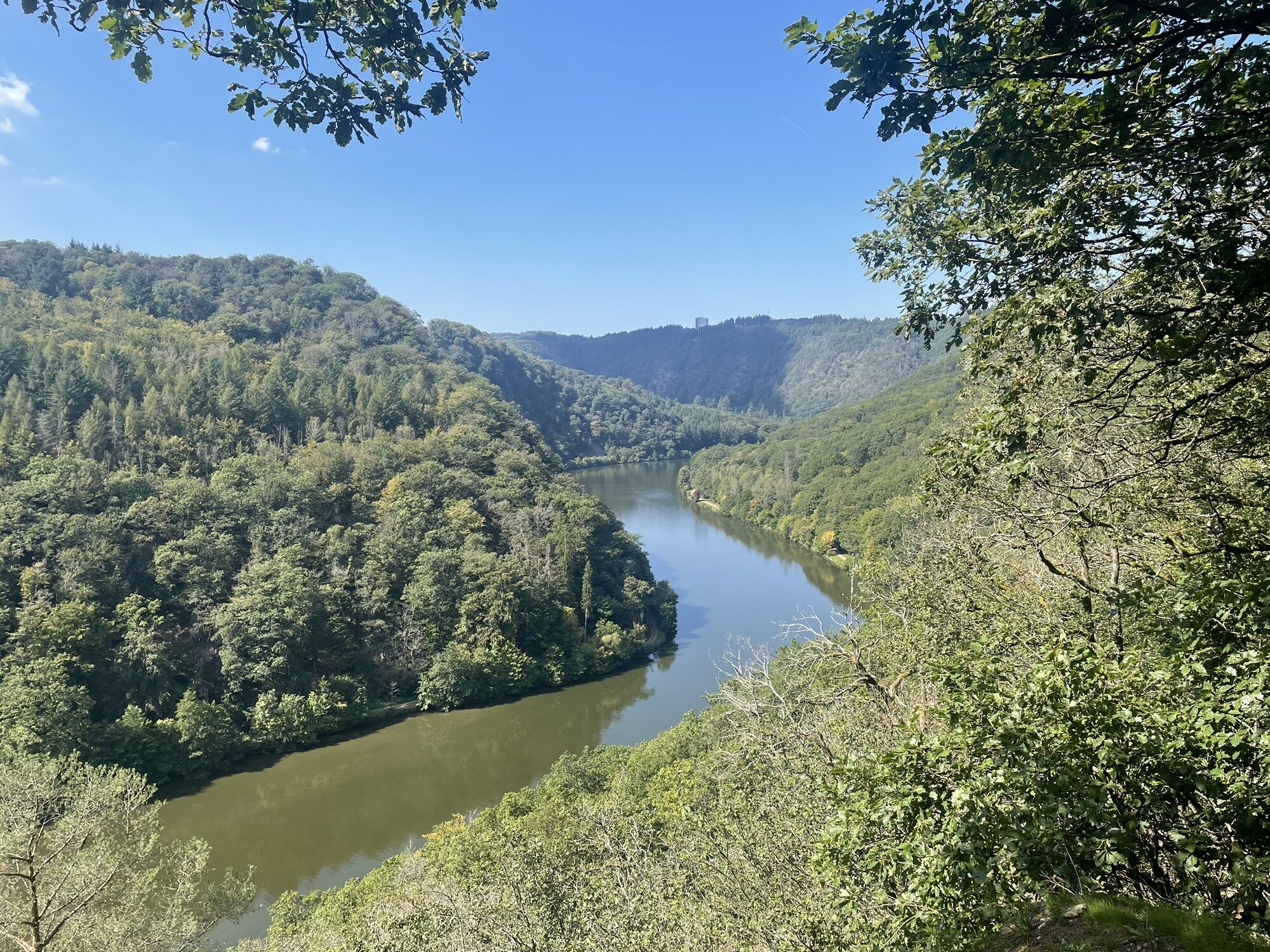
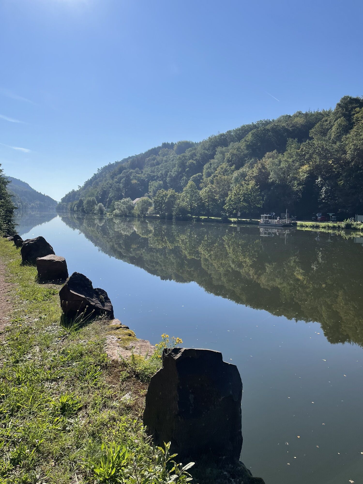
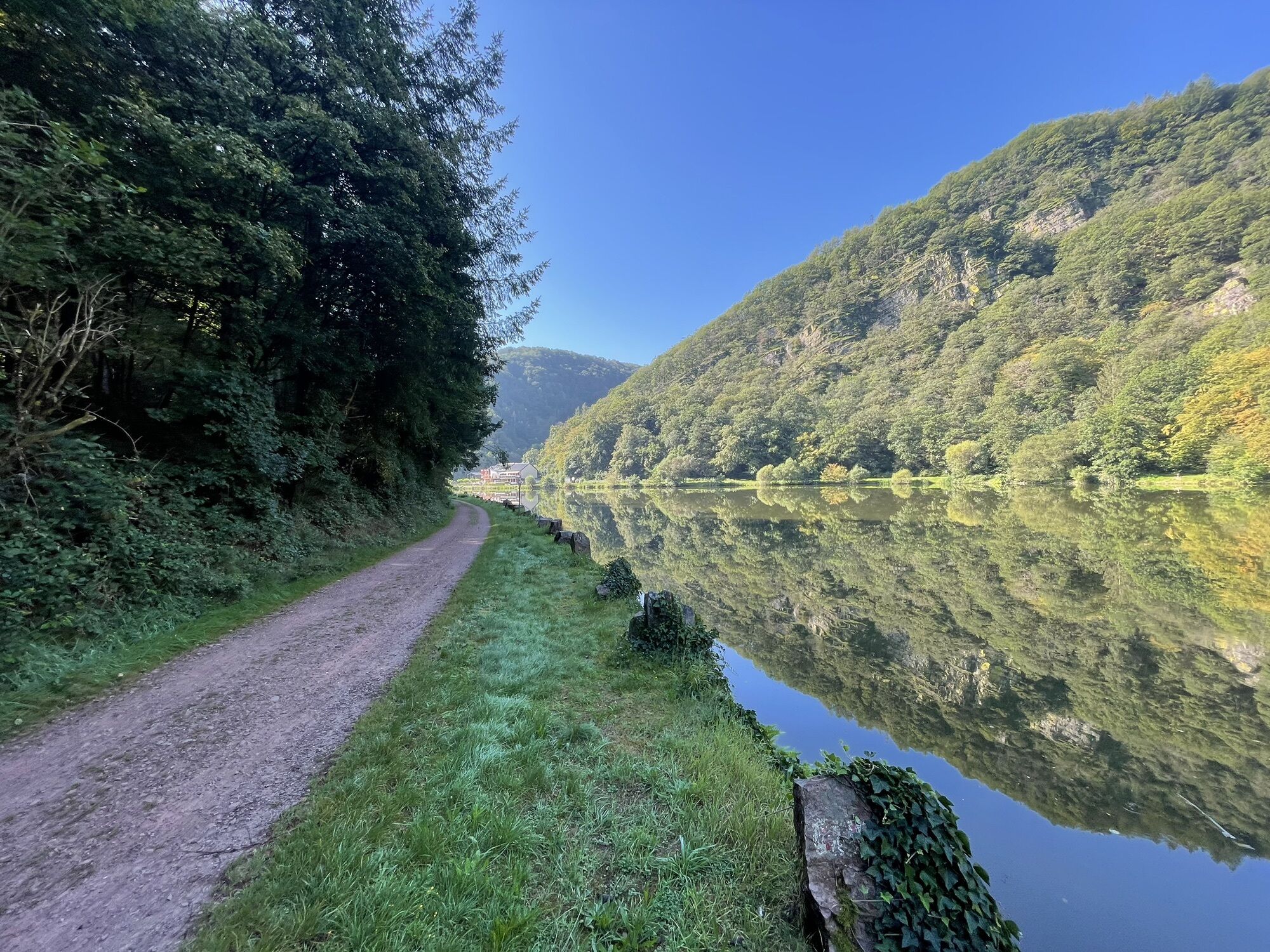
The starting point of the Saar Cycle Path is the town of Sarreguemines. The local "Circuit de la Faïence" (stoneware tour) leads to sites of stoneware production from the 19th and 20th centuries, which shaped the town. On a well-developed former towpath, you cycle along the Saar to Saarbrücken. The state capital offers, in addition to the modernly restored castle, the baroque ensemble around Ludwigskirche, the collegiate church of St. Arnual, and the old town with St. Johanner Markt, many other sights. An industrially influenced section continues to Völklingen, where the Völklinger Hütte, shut down in 1986, dominates the city skyline. The completely preserved blast furnace plant was declared a UNESCO World Heritage Site in 1994 as a unique testimony to technical history and industrial culture. The plant and the adjacent blowing house, which hosts changing exhibitions, are must-see on a cycling route along the Saar. The next stage destination is the city of Saarlouis, founded in 1680 by the French Sun King Louis XIV and expanded as a fortress by his famous architect Vauban. The French flair of the old town, with its many cafés and restaurants, attracts many guests all year round. The city of Merzig is not only known for its excellent apple wine, the Viez. A special "treat" is also a visit to the wolf park of behavioral researcher Werner Freund, the tent city with its cultural program, or the Merzig health and adventure pool. A few kilometers further, you reach a true natural wonder: the Saarschleife. A climb to the Cloef viewing point is rewarded with a magnificent view of the river landscape. In Mettlach, the headquarters of the traditional company Villeroy & Boch, the impressive company building with the "House of Villeroy & Boch" experience center is particularly worth seeing. The last stage leads via Saarburg, a picturesque small town with waterfall and castle, to the mouth of the Saar into the Mosel in Konz.
Da
Da
Da
2
Maps:
Bikeline cycling guidebook: Saar Cycle Path
- Precise maps at a scale of 1:50,000
- reliable route description
- numerous city and local maps
- with accommodation directory
Tourism Center Saarland
Tel.: 0681 - 9 27 20 - 0
Priljubljeni izleti v okolici
- 4.9
Dream loop Litermont summit route
svetlobaPohodništvo8.79 km Stausee Tafeltour
srednjaPohodništvo10.1 km- 3.5
Trails dream loop Border View Path
težkoPohodništvo13.6 km - 4.0
Dream loop Hirn-Gallenberg route
srednjaPohodništvo7.42 km - 5.0
Trail loop The Bietzerberger
težkoPohodništvo18.5 km - 5.0
Dream trail Beckinger Saarblicke
težkoPohodništvo14.4 km - 5.0
Litermont Mythical Path
težkoPohodništvo18.8 km - 5.0
Wolf’s Way
srednjaPohodništvo10.2 km - 5.0
Traumschleife Oppig-Grät Route
težkoPohodništvo13.2 km - 4.0
Dream loop Erzgräberweg
srednjaPohodništvo11.6 km
Pohodništvo in sledenje


Ne zamudite ponudb in navdiha za naslednje počitnice
Vaš e-poštni naslov je bil dodan na poštni seznam.