TMV® Vosges Mountains MTB trail : Wissembourg - Saverne
težko
Pridobite to turo v svoj mobilni telefon
TMV® Vosges Mountains MTB trail : Wissembourg - Saverne
težko
Mountainbike
139.16
km
Skenirajte kodo QR in začnite navigacijo v aplikaciji bergfex.

Pohodništvo in sledenje


TMV® Vosges Mountains MTB trail : Wissembourg - Saverne
težko
Razdalja
139.16
km
Trajanje
18:50
h
Ascent
2,696
hm
Morska gladina
157 -
416
m
Prenos skladbe
TMV® Vosges Mountains MTB trail : Wissembourg - Saverne
težko
Mountainbike
139.16
km


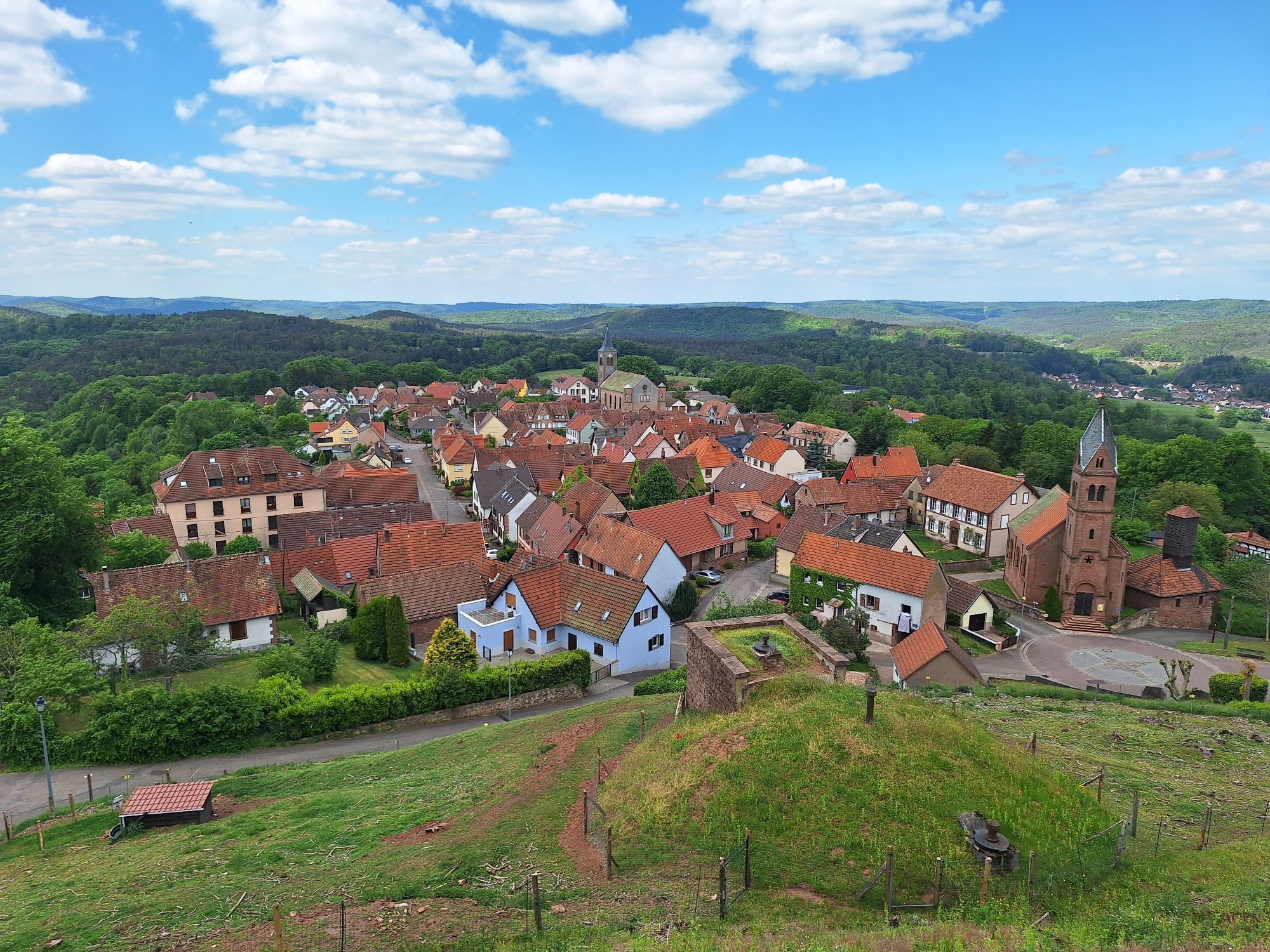
We propose here an route which includes stages 1 to 4, through the Northern Vosges:
Stage 1: WISSEMBOURG - OBERSTEINBACH
Stage 2: OBERSTEINBACH - OBERBRONN
Stage 3: OBERBRONN - LA PETITE PIERRE
Stage 4 : LA...
Opis
We propose here an route which includes stages 1 to 4, through the Northern Vosges:
Stage 1: WISSEMBOURG - OBERSTEINBACH
Stage 2: OBERSTEINBACH - OBERBRONN
Stage 3: OBERBRONN - LA PETITE PIERRE
Stage 4 : LA PETITE PIERRE - SAVERNE
Pot
Église Saint-André
(171 m)
Kraj čaščenja
3.2 km
Col du Wineckerthal
(334 m)
Gorsko sedlo
34.7 km
Chapelle Notre-Dame-de-l'Immaculée-Conception
(214 m)
Kraj čaščenja
41.9 km
Col du Baerenberg
(370 m)
Gorsko sedlo
68.0 km
Église de la Bienheureuse-Vierge-Marie
(208 m)
Kraj čaščenja
102.9 km
Bannholzfeld Auf Dem Felse
(248 m)
Soseska
103.3 km
Chapelle Saint-Michel
(363 m)
Kraj čaščenja
120.3 km
Pot
TMV® Vosges Mountains MTB trail : Wissembourg - Saverne
težko
Mountainbike
139.16
km
Wissembourg
(157 m)
Mesto
0.0 km
Weiler
(174 m)
Poravnava
2.7 km
Welschdorf Bleich
(171 m)
Koridor/teren
3.1 km
Église Saint-André
(171 m)
Kraj čaščenja
3.2 km
Sankt Germanshof
(178 m)
Poravnava
4.1 km
Climbach
(351 m)
Vas
10.0 km
A l'Ange
(355 m)
Restavracija
10.0 km
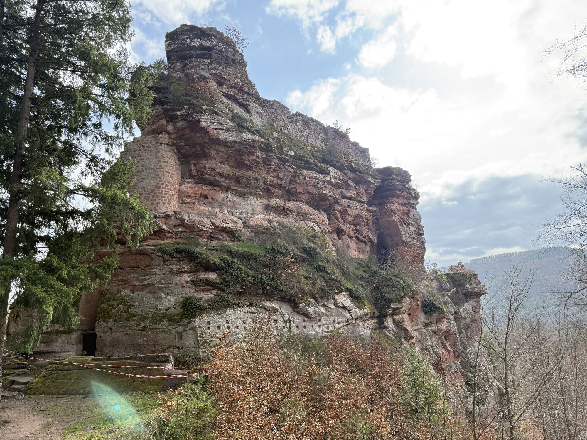
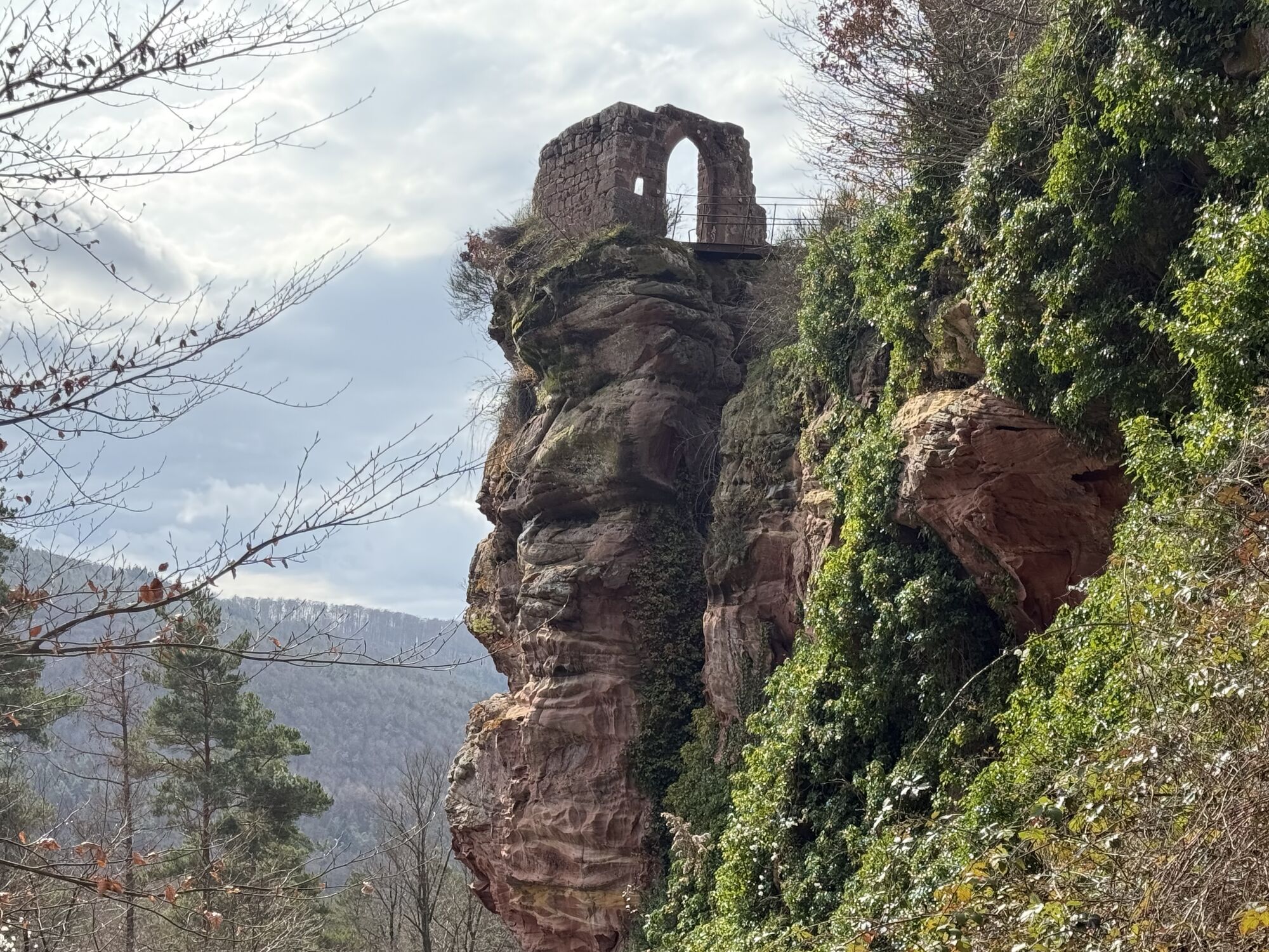
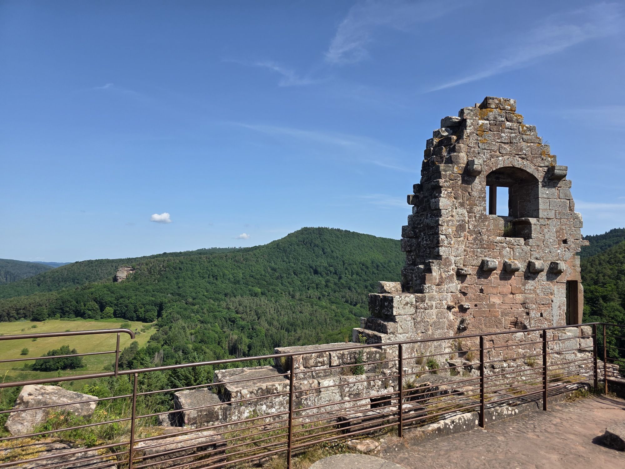
Le Hohenbourg
(256 m)
Restavracija
12.4 km
Petit Wingen
(258 m)
Poravnava
12.5 km
Col du Litschhof
(335 m)
Koridor/teren
16.9 km
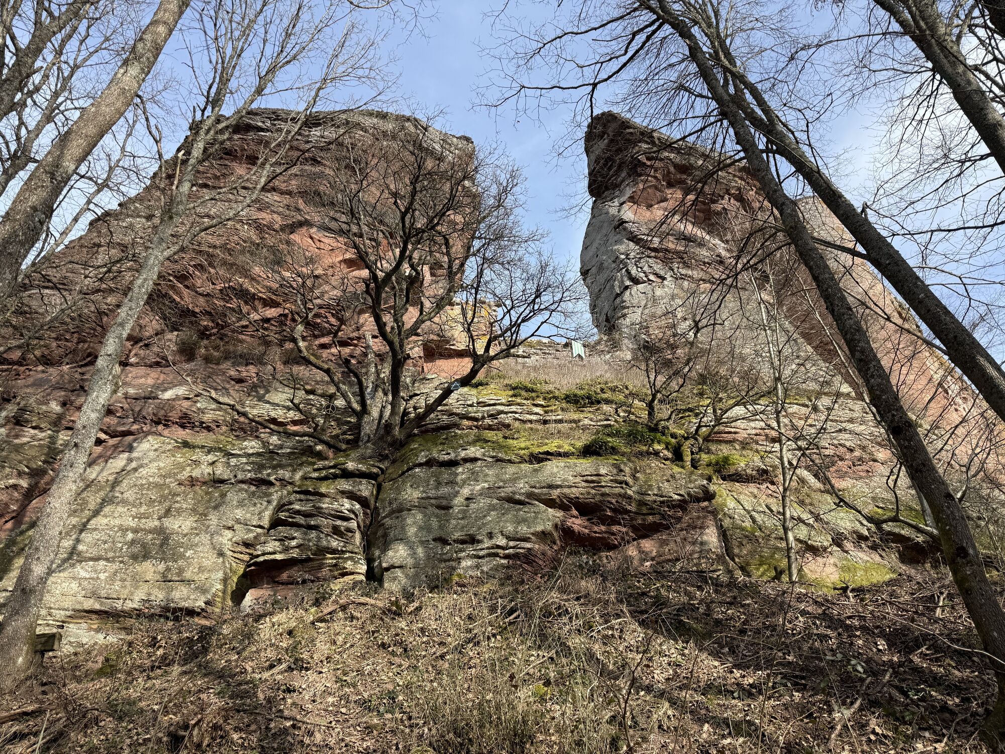
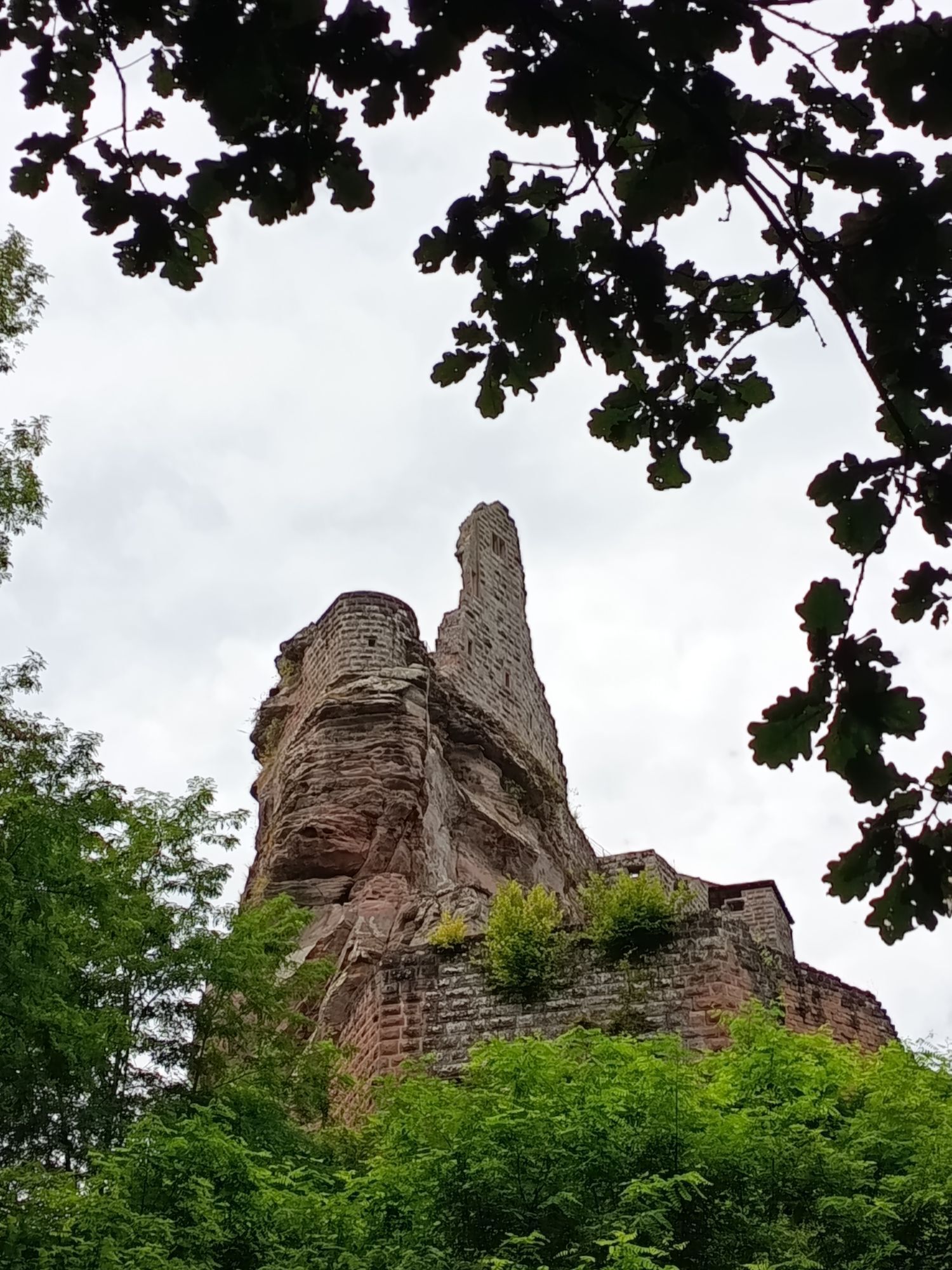
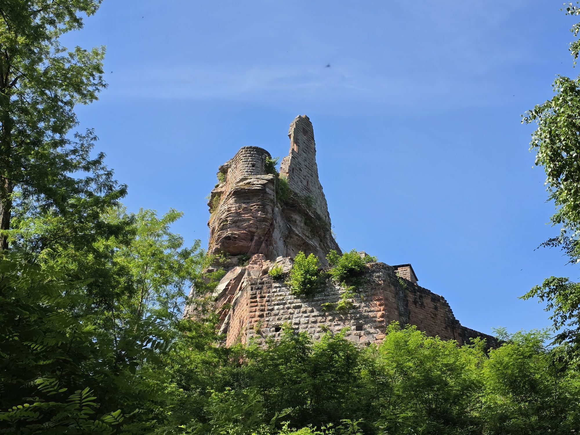
Ferme Gimbelhof
(448 m)
Restavracija
18.0 km
Café des 4 Châteaux
(333 m)
Restavracija
19.2 km
Wanderer's refuge
(237 m)
Zavetišče
30.6 km
Église Saint-Martin
(238 m)
Kraj čaščenja
30.8 km
Obersteinbach
(242 m)
Vas
30.9 km
Anthon
(240 m)
Restavracija
30.9 km
Église protestante
(242 m)
Kraj čaščenja
31.0 km
Alsace-Village
(242 m)
Restavracija
31.2 km
Au Wachtfels
(243 m)
Restavracija
31.2 km
Col du Wineckerthal
(334 m)
Gorsko sedlo
34.7 km
Soultzthal
(313 m)
Poravnava
36.5 km
Guensthal
(309 m)
Poravnava
38.7 km
Jaegerthal
(201 m)
Poravnava
41.9 km
Chapelle Notre-Dame-de-l'Immaculée-Conception
(214 m)
Kraj čaščenja
41.9 km
Hochscheidt
(281 m)
Restavracija
44.1 km
Source de la Liese
(200 m)
Vir:
48.8 km
Oberbronn
(285 m)
Vas
54.1 km
Ziegelberg
(204 m)
Koridor/teren
59.0 km
Muehlthal
(188 m)
Koridor/teren
60.0 km
Source Mitteleck
(331 m)
Vir:
65.7 km
Col du Baerenberg
(370 m)
Gorsko sedlo
68.0 km
Église Notre-Dame-Marie-Auxilliatrice
(335 m)
Kraj čaščenja
73.6 km
Au Soleil
(337 m)
Restavracija
73.6 km
Lichtenberg
(336 m)
Vas
73.6 km
Au Château
(337 m)
Restavracija
73.7 km
Église protestante
(347 m)
Kraj čaščenja
73.9 km
Wimmenau
(207 m)
Vas
80.9 km
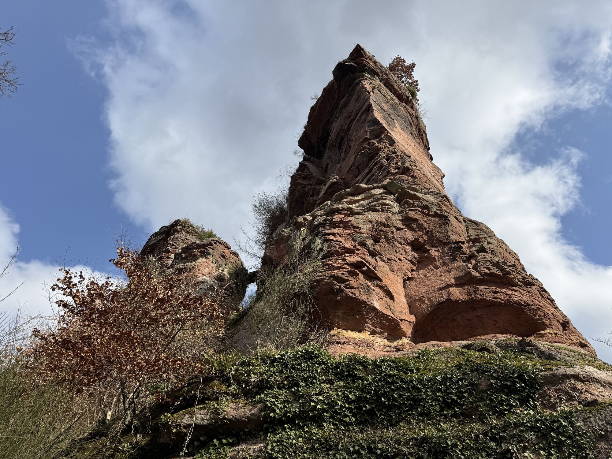
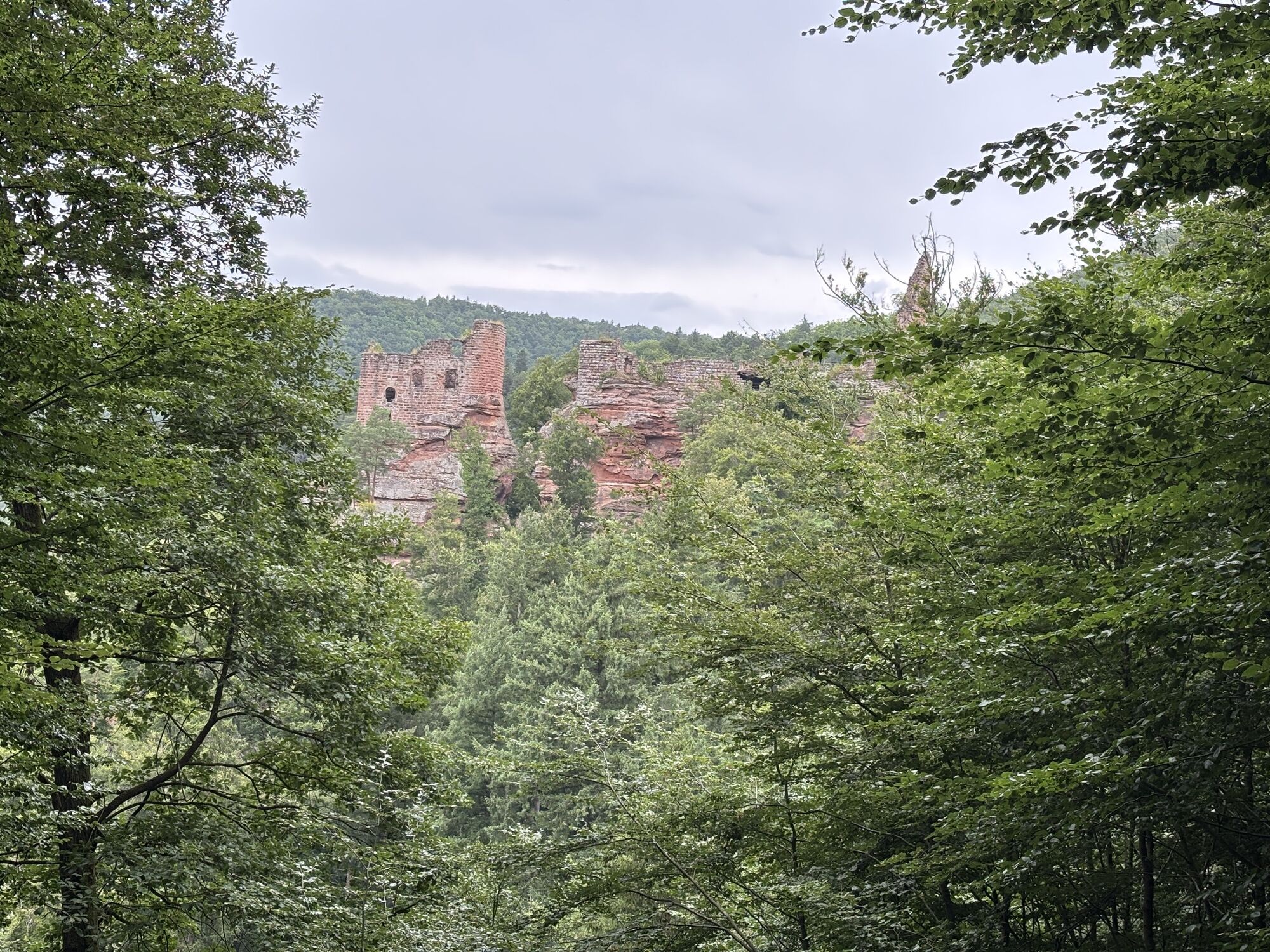
Rocher de l'Ochsenstall
(230 m)
Vhod v jamo
85.8 km
Erckartswiller
(242 m)
Vas
88.9 km
La Petite-Pierre
(333 m)
Vas
93.4 km
Bei Der Erzgrube
(236 m)
Soseska
94.8 km
Rehtal
(220 m)
Soseska
100.9 km
Klein Weihermatt
(216 m)
Soseska
101.7 km
Gross Weihermatt
(211 m)
Soseska
102.3 km
Am Ramskopf
(291 m)
Soseska
102.4 km
Église de la Bienheureuse-Vierge-Marie
(208 m)
Kraj čaščenja
102.9 km
Graufthal
(208 m)
Poravnava
102.9 km
Au Cheval Blanc
(207 m)
Restavracija
102.9 km
Bannholzfeld Auf Dem Felse
(248 m)
Soseska
103.3 km
Die Weihersbrumat
(256 m)
Soseska
103.3 km
Schmittmatt
(214 m)
Soseska
103.4 km
Schulermatt
(203 m)
Soseska
103.6 km
Tieflach
(199 m)
Soseska
104.0 km
Heiligenmatt
(195 m)
Soseska
104.8 km
Im Bruehl
(194 m)
Soseska
105.2 km
Eichmatt
(194 m)
Soseska
105.6 km
Im Hafen
(197 m)
Soseska
105.8 km
Oberhof
(193 m)
Poravnava
106.7 km
Maison Forestière Wolfenhutte
(200 m)
Koridor/teren
108.4 km
Egerle
(198 m)
Koridor/teren
109.9 km
Ernolsheim-lès-Saverne
(220 m)
Vas
116.1 km
Chapelle Saint-Michel
(363 m)
Kraj čaščenja
120.3 km
Saint-Jean-Saverne
(269 m)
Vas
120.6 km
Eckartswiller
(273 m)
Vas
121.7 km
La Rothlach
(379 m)
Koridor/teren
124.7 km
Stambach
(200 m)
Poravnava
135.1 km
Avtor
Zagotavlja Visit Alsace
Za ogled TMV® Vosges Mountains MTB trail : Wissembourg - Saverne poskrbi outdooractive.com.

Informacije o poti
Geološki poudarki
Da
Ogled vrha
Da
Oprema
The mountain bike as you wish! but.....
Take the marked paths for your safety and respect the direction of the routes Don't overestimate your abilities and stay in control of your speed Be careful and courteous when passing or crossing hikers as pedestrians are a priority Check the condition of your MTB and provide supplies and repair accessories If you are going alone, leave your itinerary with your friends and family Wearing a helmet is strongly recommendedRespect private property and cropping areas Beware of agricultural and forestry machinery Close the barriers Avoid wild picking of flowers, fruits and mushrooms Do not disturb the tranquility of wild animals Keep your garbage, be discreet and environmentally friendly
Varnostna navodila
In an emergency, dial 112
Dodatne informacije in nasveti
Dodatne informacije
Nasveti
Itinerary mostly shady.
Še ni pregledov
Priljubljeni izleti v okolici
-
4.5
Ascent of the Grand Wintersberg
srednjaPohodništvo 13.0 km -
Sentier d'excellence 1: Around Ramstein Castle
srednjaPohodništvo 7.28 km -
Hiking route to the castles of Windstein
težkoPohodništvo 20.6 km -
Crossing of the Vosges Massif - Stage 04 - Lichtenberg - La Petite Pierre
srednjaPohodništvo v daljavo 16.9 km -
Excellence trail 3: Around the castles of Waldeck and Falkenstein
srednjaPohodništvo 13.2 km -
Crossing of the Vosges Mountains - Stage 02 - Obersteinbach - Niederbronn-les-Bains
srednjaPohodništvo v daljavo 18.9 km -
In the footsteps of the glassmakers - Lalique and Meisenthal
težkoPohodništvo 18.0 km -
Sentier d'excellence 13: In the land of glass and clogs
srednjaPohodništvo 8.60 km -
Castles through the ages
težkoPohodništvo v daljavo 67.1 km -
Between Alsace and Moselle
srednjaJahanje 164.6 km

Pohodništvo in sledenje

Zaradi več kot 550.000 predlogov izletov, podrobnih zemljevidov in intuitivnega načrtovanja poti je aplikacija obvezna oprema za vse ljubitelje narave.

Ne zamudite ponudb in navdiha za naslednje počitnice
Naročite se na novice
Napaka
Zgodila se je napaka. Prosimo, poskusite znova.
Zahvaljujemo se vam za prijavo
Vaš e-poštni naslov je bil dodan na poštni seznam.
Izleti po vsej Evropi
Avstrija
Švica
Nemčija
Italija
Slovenija
Francija
Nizozemska
Belgija
Poljska
Lihtenštajn
Češka
Slovaška
Španija
Chorvátsko
Bosna in Hercegovina
Luksemburg
Andora
පෘතුගාලය
අයිස්ලන්තය
එක්සත් රාජධානිය
අයර්ලන්තය
ග්රීසිය
ඇල්බේනියාව
North Macedonia
Malta
Norway
Montenegro
Moldova
කොසෝවො
හන්ගේරියානු සමුහාණ්ඩුව
San Marino
රුමේනියාව
එස්ටෝනියා
ලැට්වියාව
බෙලාරස්
සයිප්රස්
Lithuania
Serbia
බල්ගේරියාව
Monaco
ඩෙන්මාර්කය
Sweden
ෆින්ලන්තය