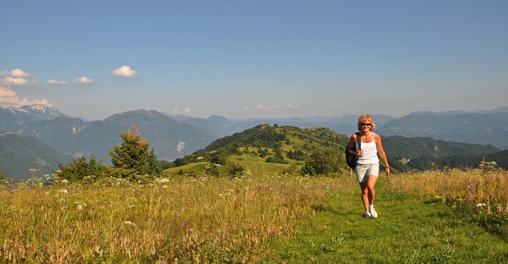
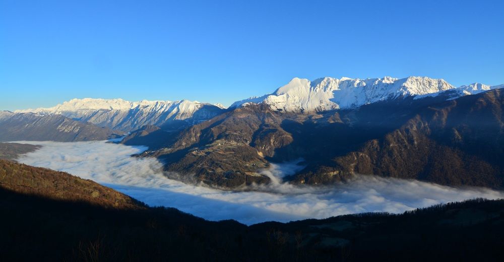
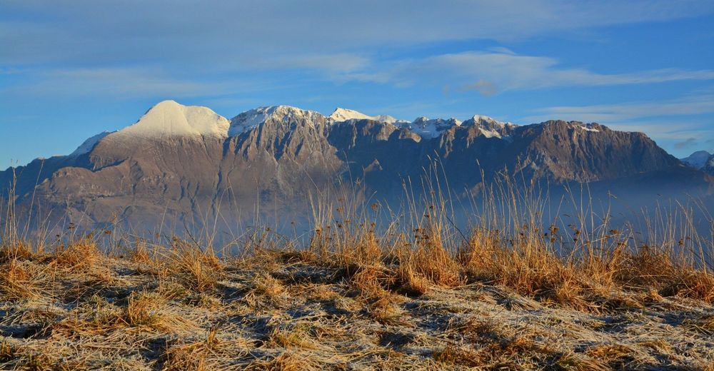
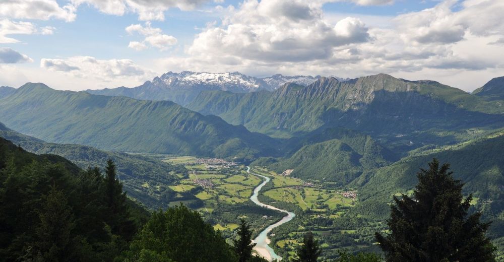
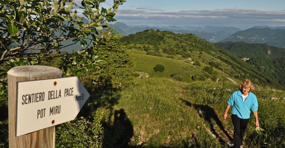
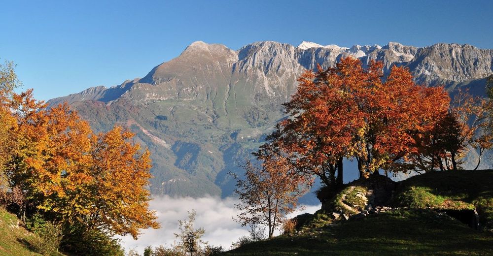
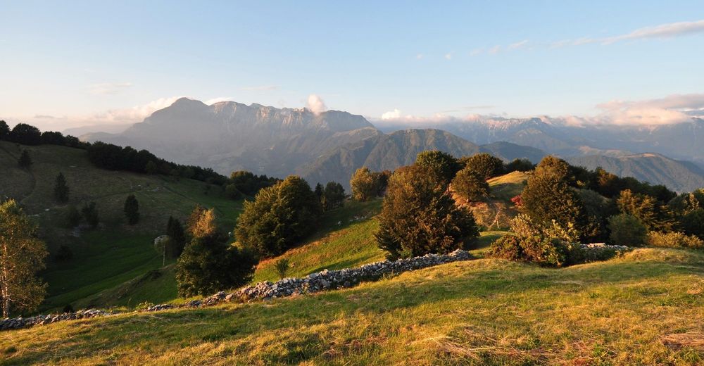
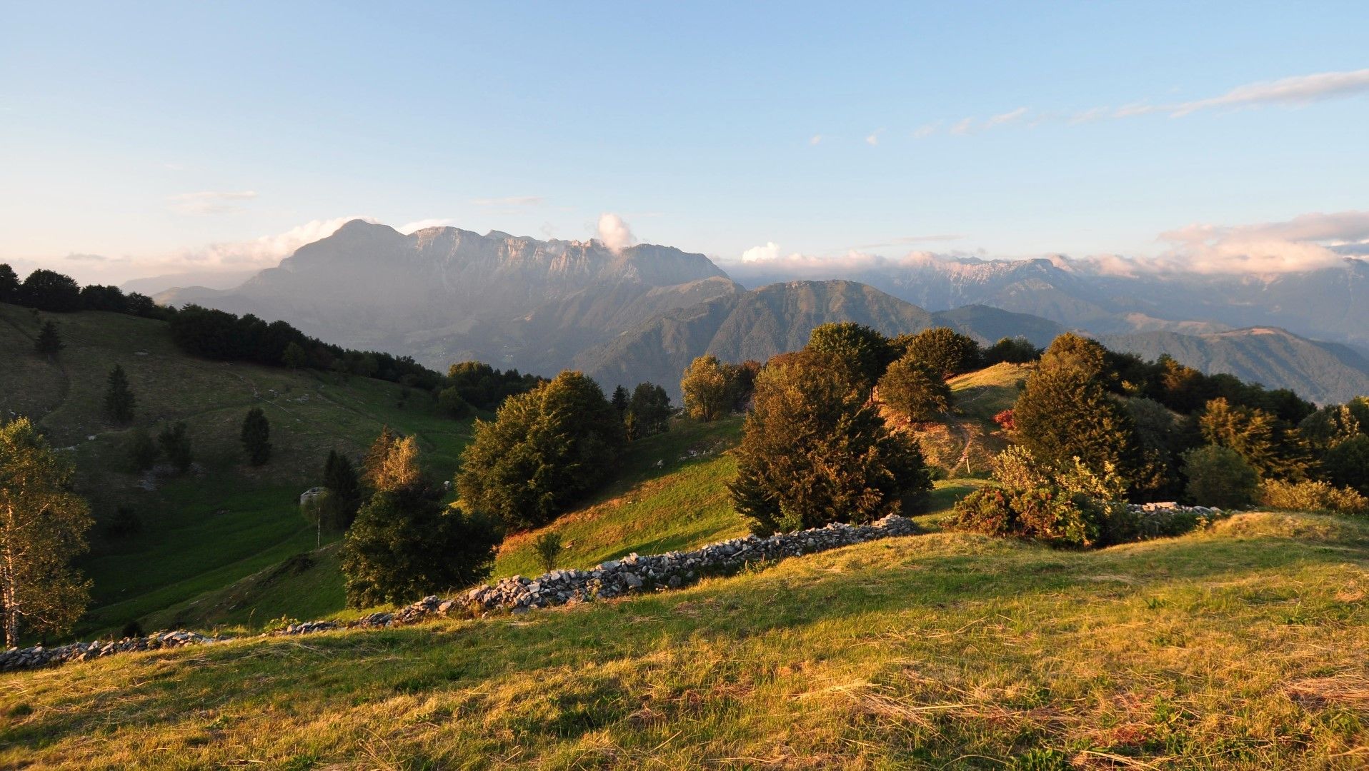
Mt. Kolovrat, a magnificent panoramic hill above the Soča Valley

Pohodništvo
© Turizem Dolina Soce - Janko Humar
© Turizem Dolina Soce - Janko Humar
© Turizem Dolina Soce - Janko Humar
© Turizem Dolina Soce - Janko Humar
© Turizem Dolina Soce - Janko Humar
© Turizem Dolina Soce - Janko Humar
© Turizem Dolina Soce - Janko Humar
© Turizem Dolina Soce - Janko Humar
© Turizem Dolina Soce - Janko Humar
© Turizem Dolina Soce - Janko Humar

- Kratek opis
-
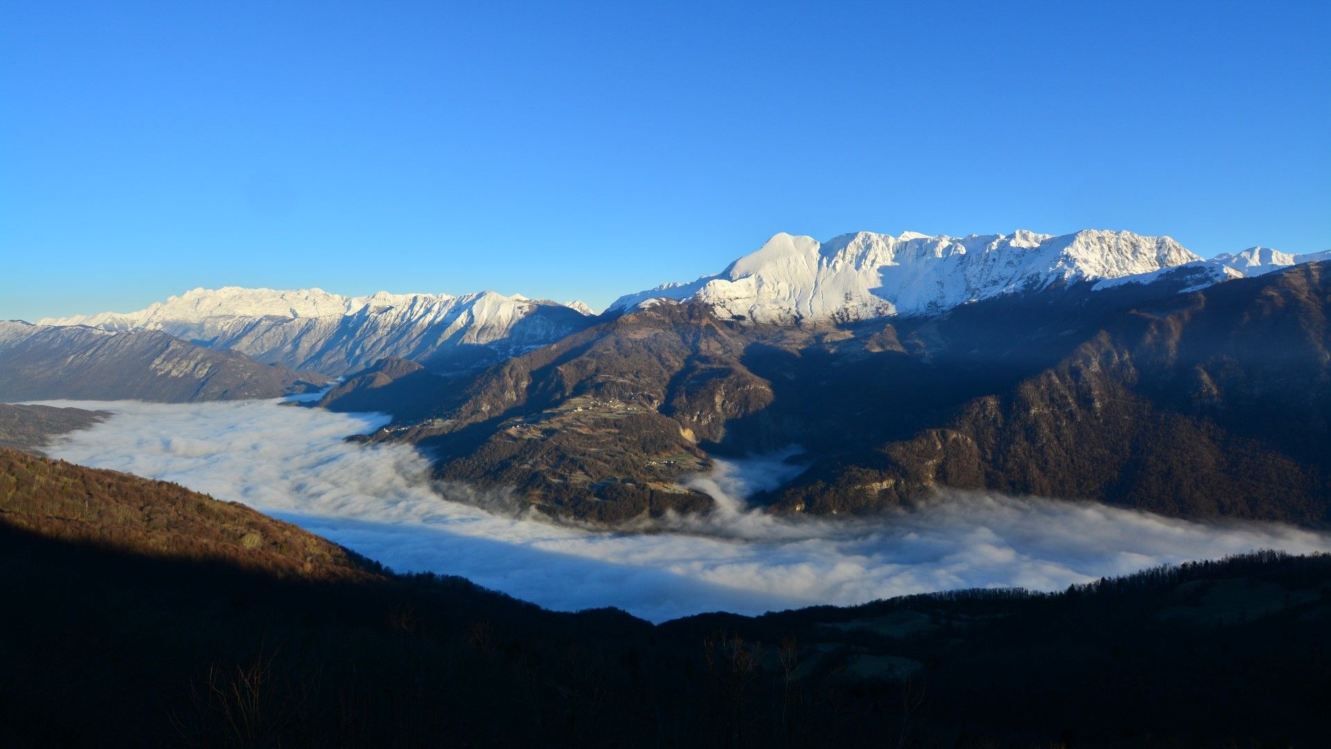
Today, the ridge of Mt. Kolovrat, which was the crucial area for the breakthrough at the Isonzo front 100 years ago, offers peace, silence and dramatic views of the Julian Alps to the north and Adriatic Sea to the south.
- Težavnost
-
enostavno
- Ocenjevanje
-
- Pot
-
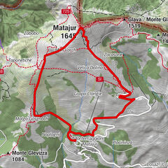
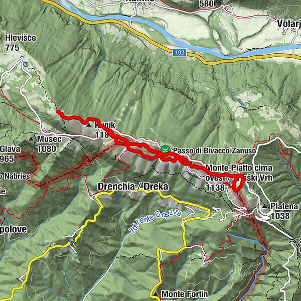
Monte Poclabuz (1.114 m)0,3 kmNa Gradu0,3 kmMonte Nachnoi (1.193 m)2,9 kmKunik (1.184 m)3,8 kmMonte Nachnoi (1.193 m)5,9 kmBivacco Giuseppe Zanuso6,8 km
- Najboljša sezona
-
janfebmaraprmajjunjulavgsepoktnovdec
- Najvišja točka
- 1.230 m
- Destinacija
-
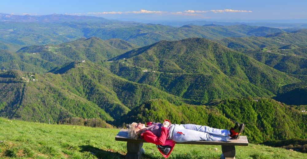
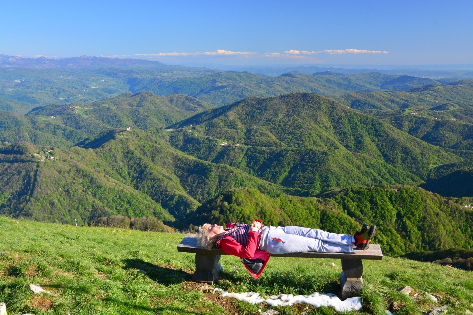
You can end the tour at any point. The most distant point of the tour is the highest peak of the ridge called Kuk. You always return to the starting point.
- Profil nadmorske višine
-
 © outdooractive.com


-

-
AvtorTurneja Mt. Kolovrat, a magnificent panoramic hill above the Soča Valley uporablja outdooractive.com na spletni strani ..
GPS Downloads


Splošne informacije
Postanek za osvežitev
Zdravilno podnebje
Kulturni/Zgodovinski
Flora
Favna
Obetavno