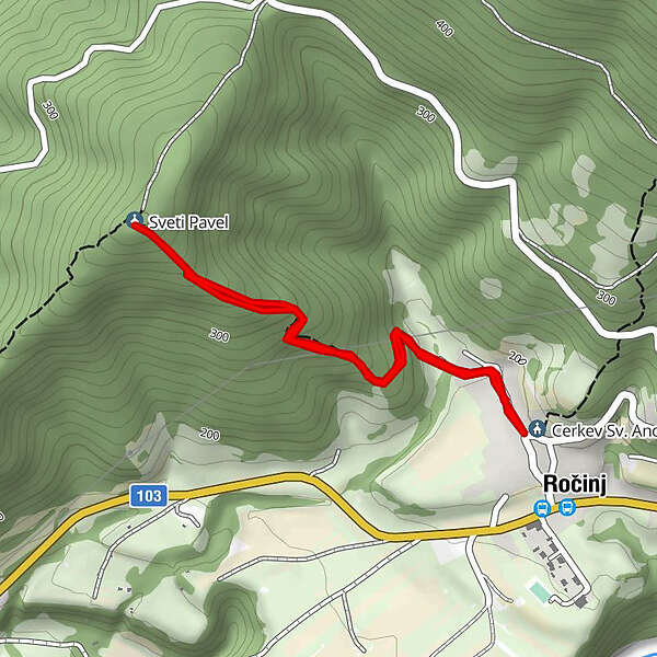
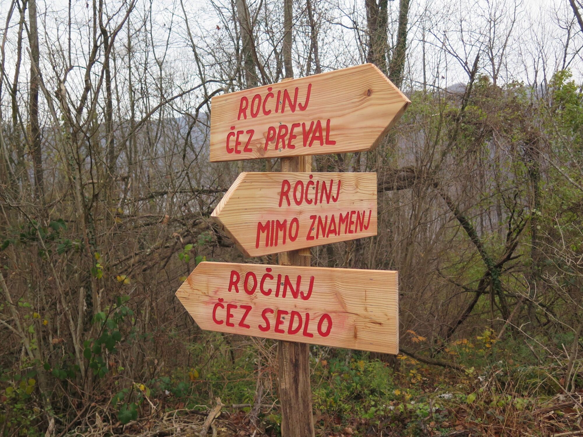
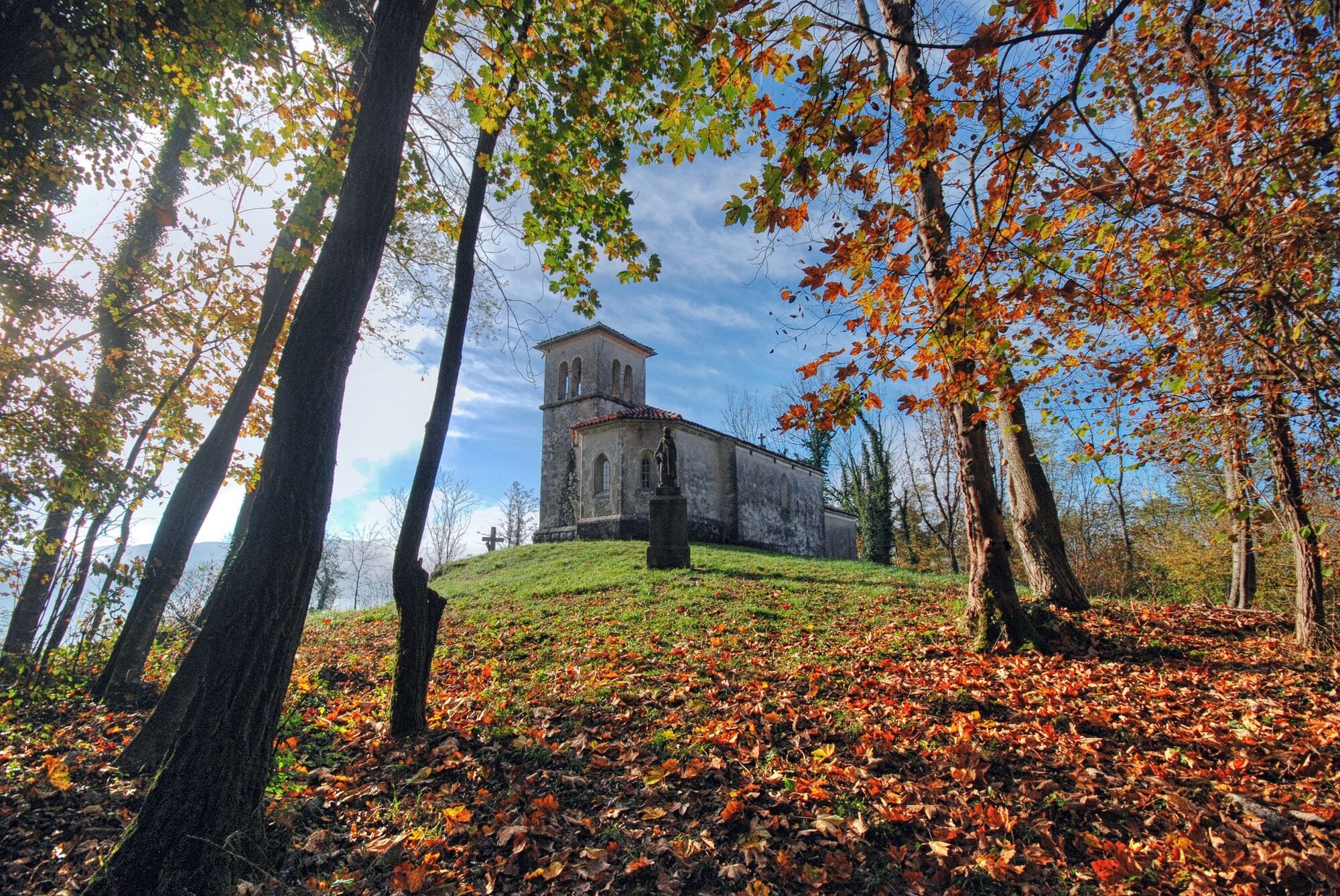
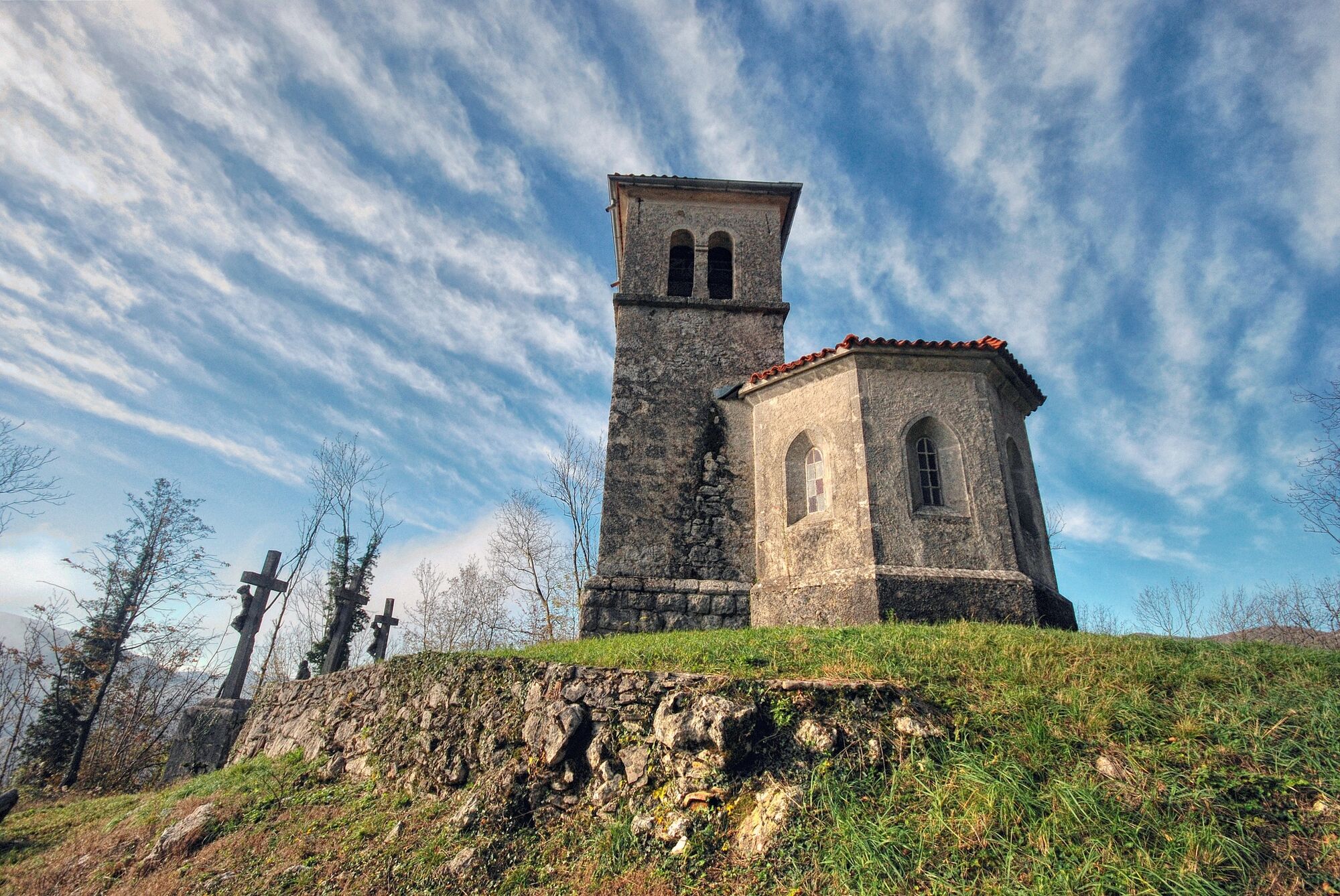
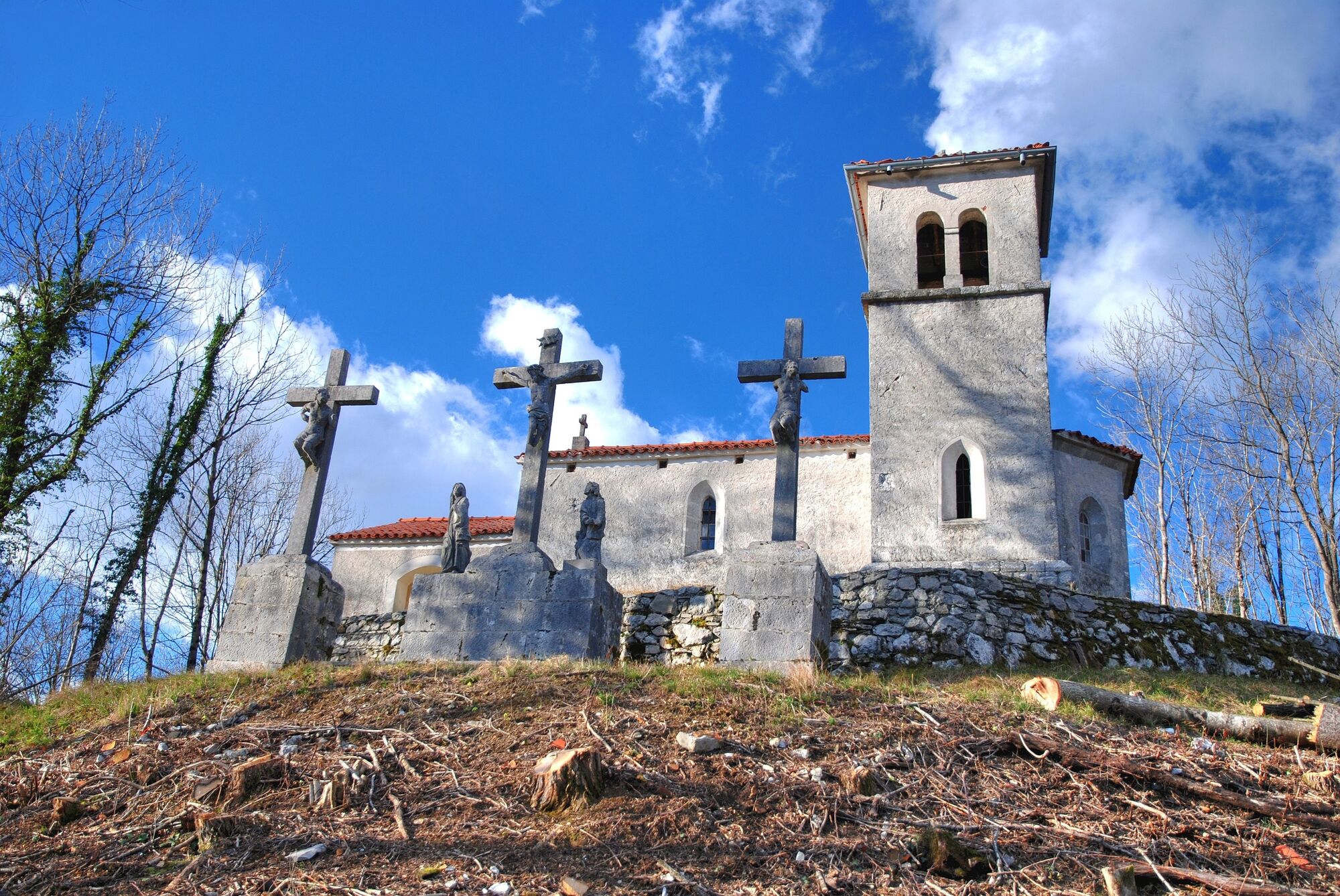
Trail to the Church of St. Paul (403 m) past the chapels

Pohodništvo

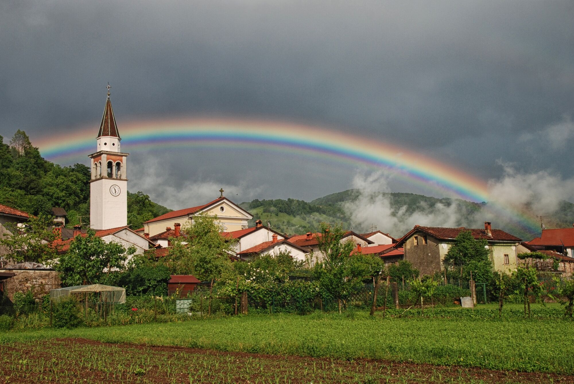
© Turizem Dolina Soce - Simon Prinčič

© Turizem Dolina Soce - Simon Prinčič

© Turizem Dolina Soce - Simon Prinčič

© Turizem Dolina Soce - Simon Prinčič

© Turizem Dolina Soce - Simon Prinčič

© Turizem Dolina Soce - Simon Prinčič

© Turizem Dolina Soce - Simon Prinčič

© Turizem Dolina Soce - Simon Prinčič

© Turizem Dolina Soce - Simon Prinčič

- Kratek opis
-
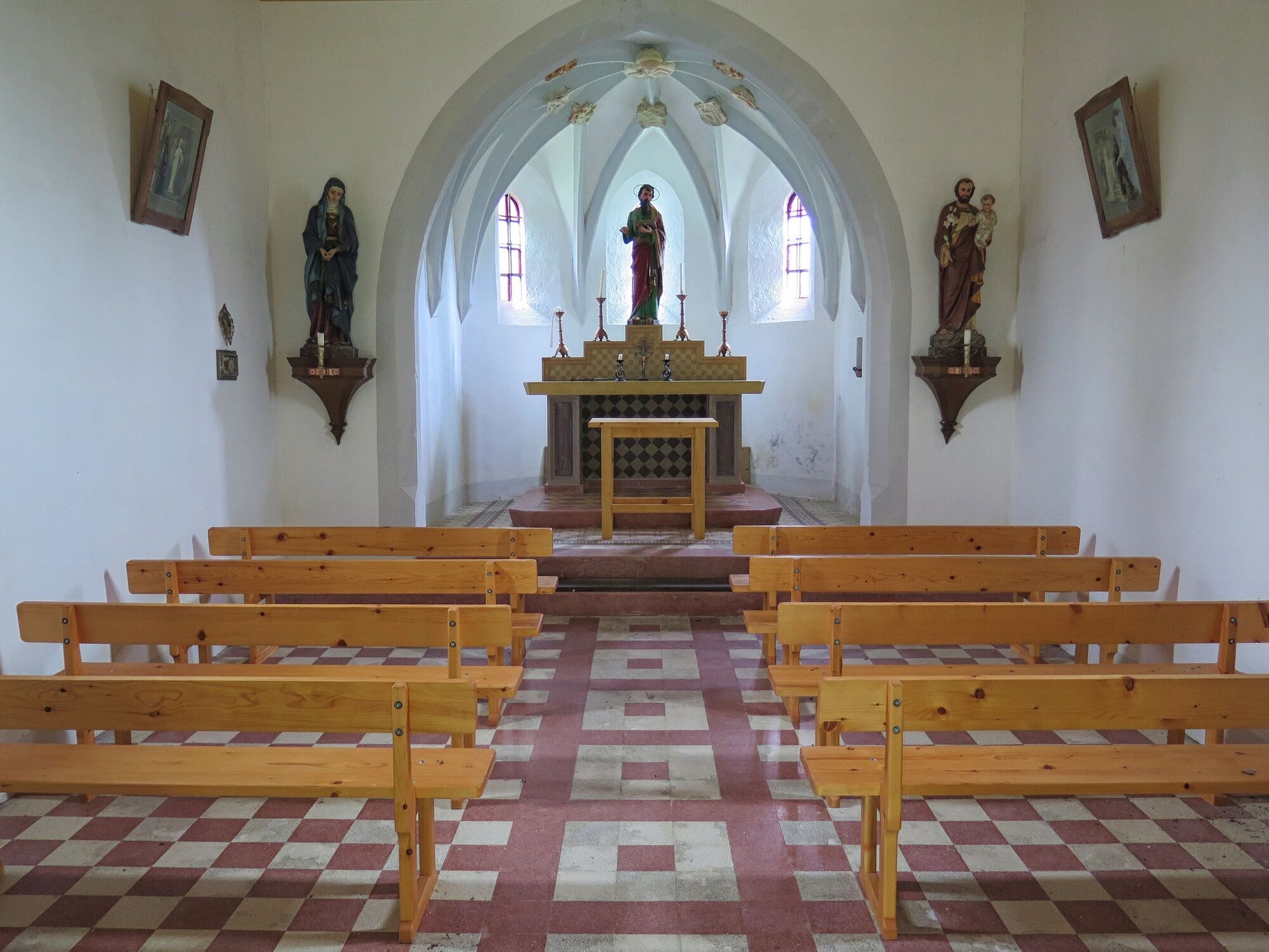
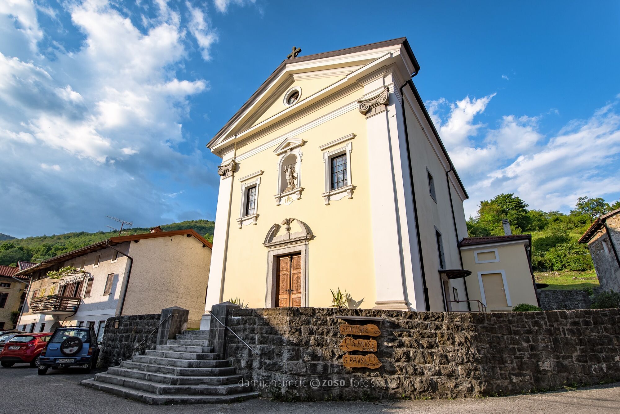
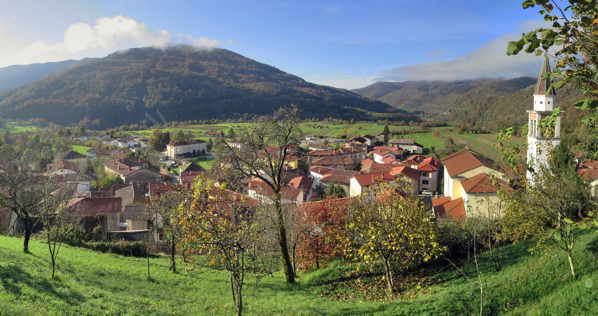
Undemanding sightseeing hiking tour from the Church of St. Andrew in Ročinj past the chapels to the Church of St. Paul above Ročinj.
- Pot
-
Ročinj
- Najboljša sezona
-
janfebmaraprmajjunjulavgsepoktnovdec
- Najvišja točka
- 387 m
- Destinacija
-
Church of St. Paul
- Profil nadmorske višine
-
 © outdooractive.com
- Avtor
-
Turneja Trail to the Church of St. Paul (403 m) past the chapels uporablja outdooractive.com na spletni strani ..
GPS Downloads


Splošne informacije
Kulturni/Zgodovinski
Notranji nasvet
Obetavno
Več izletov v regijah
-
Brda
115
-
Most na Soči
81