© Turizem Radovljica - Kaja Beton

© Turizem Radovljica - Kaja Beton

© Turizem Radovljica - Kaja Beton

© Turizem Radovljica - Kaja Beton

© Turizem Radovljica - Kaja Beton

- Kratek opis
-
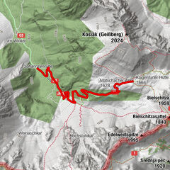
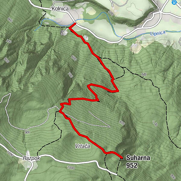
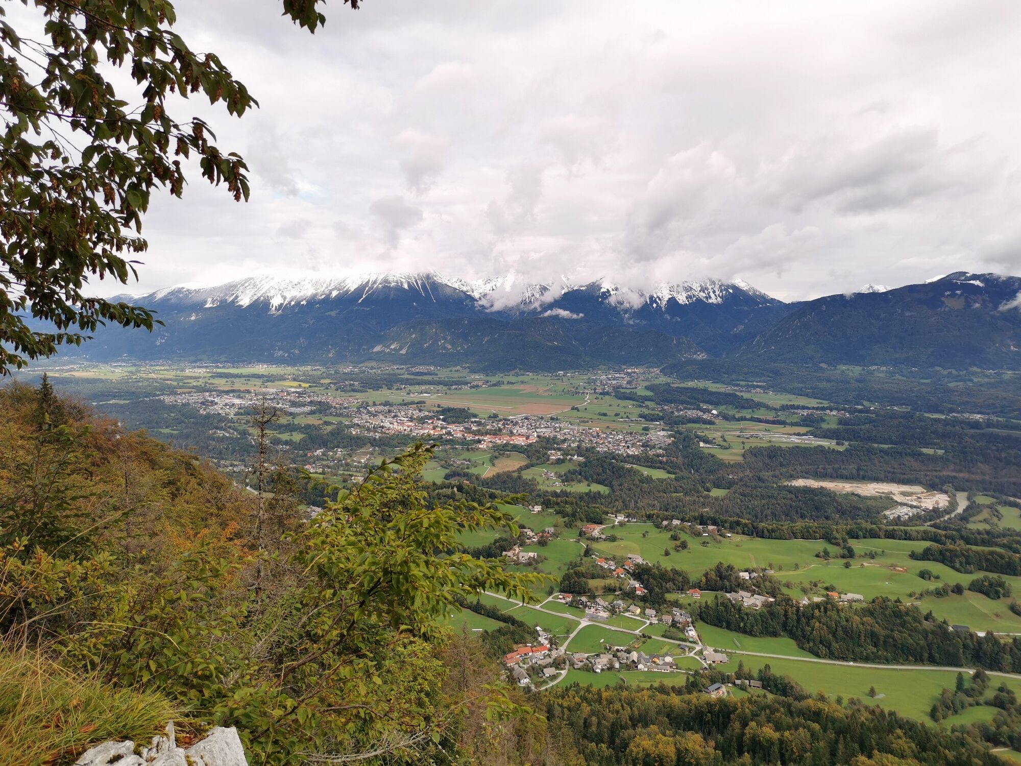
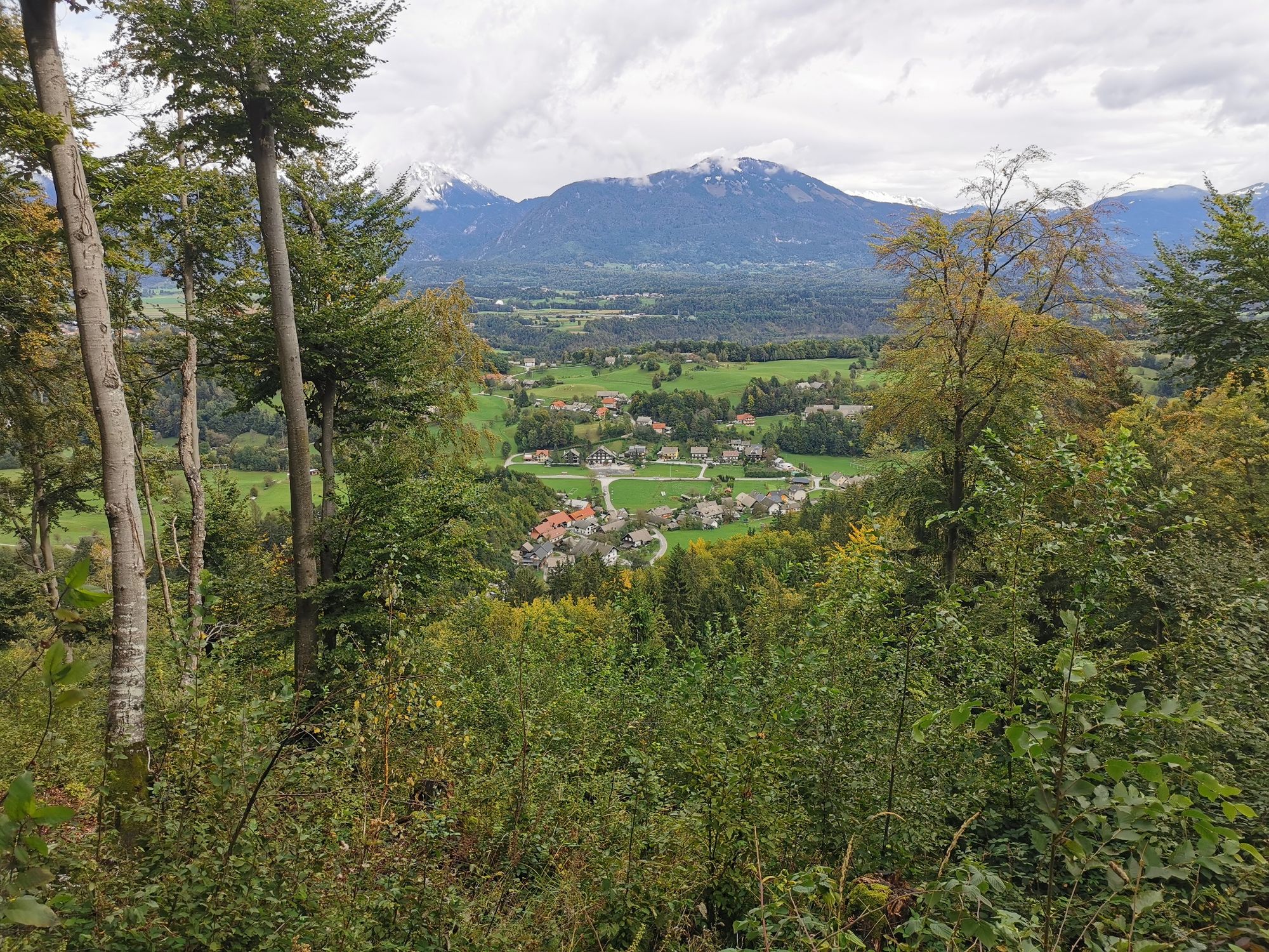
Suharna is a viewpoint on the edge of the Jelovica plateau. From the viewpoint there are excellent views of the surrounding countryside that encircles the area from Žirovnica via Radovljica to Brezje and onwards along the Ljubljana basin towards Kranj. The Lipnica valley sits right beneath the viewpoint, while to the north there are far-reaching views of the Karavanke and Kamnik-Savinja Alps.
- Težavnost
-
srednja
- Ocenjevanje
-
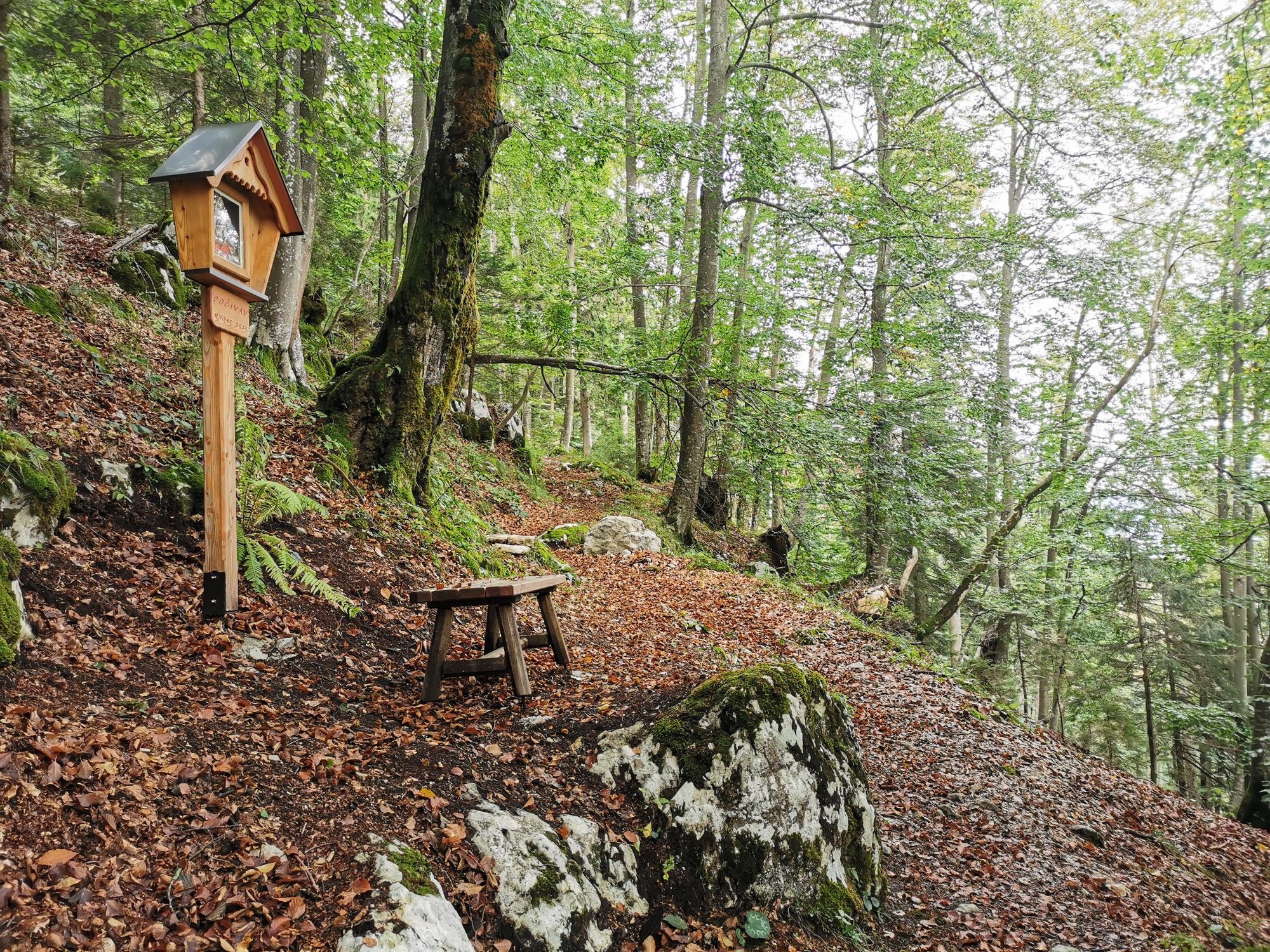
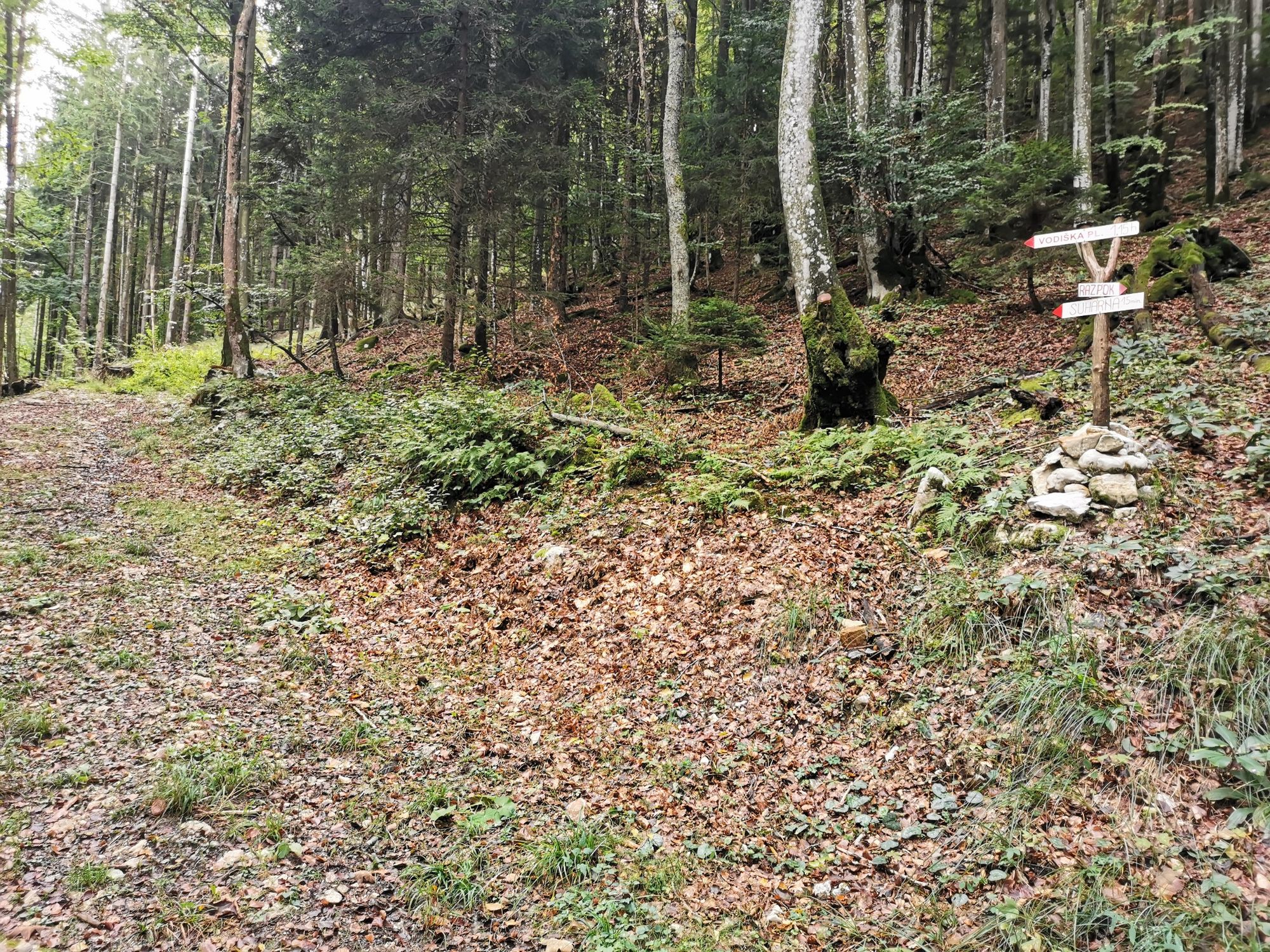
- Pot
-
Kolnica0,0 kmSuharna (952 m)2,1 km
- Najboljša sezona
-
janfebmaraprmajjunjulavgsepoktnovdec
- Najvišja točka
- 950 m
- Profil nadmorske višine
-
 © outdooractive.com
- Avtor
-
Turneja Suharna view point uporablja outdooractive.com na spletni strani ..
GPS Downloads


Splošne informacije
Notranji nasvet
Obetavno
Več izletov v regijah
-
Wörthersee - Rosental
1956
-
Gorenjska
141
-
Radovljica
168