Javorniški Rovt Nature and Mining Educational Trail

Pohodništvo

© Občina Jesenice - Aleksandra Orel

© Občina Jesenice - Aleksandra Orel

© Alpe Adria Erlebnis-Region - Aleksandra Orel

© Občina Jesenice - Aleksandra Orel

© Občina Jesenice - Tomaž Petek

© Občina Jesenice

© Občina Jesenice - Aleksandra Orel

© Alpe Adria Erlebnis-Region - Aleksandra Orel

© Alpe Adria Erlebnis-Region - Aleksandra Orel

© Občina Jesenice
Datumi turnej
10,91km
897
- 1.497m
746hm
728hm
05:00h

Alpe Adria Erlebnis-Region
- Kratek opis
-
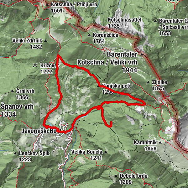
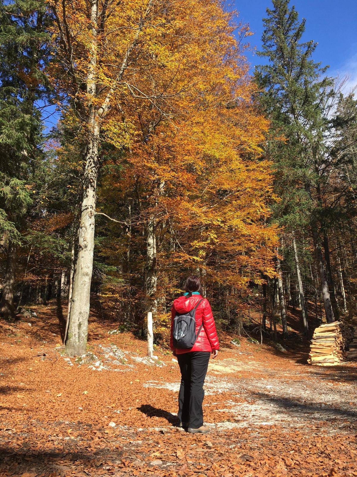
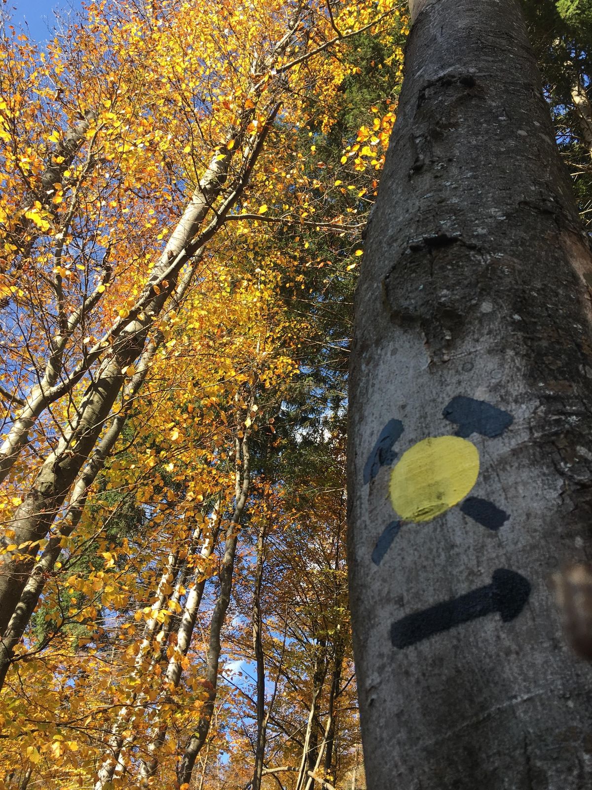
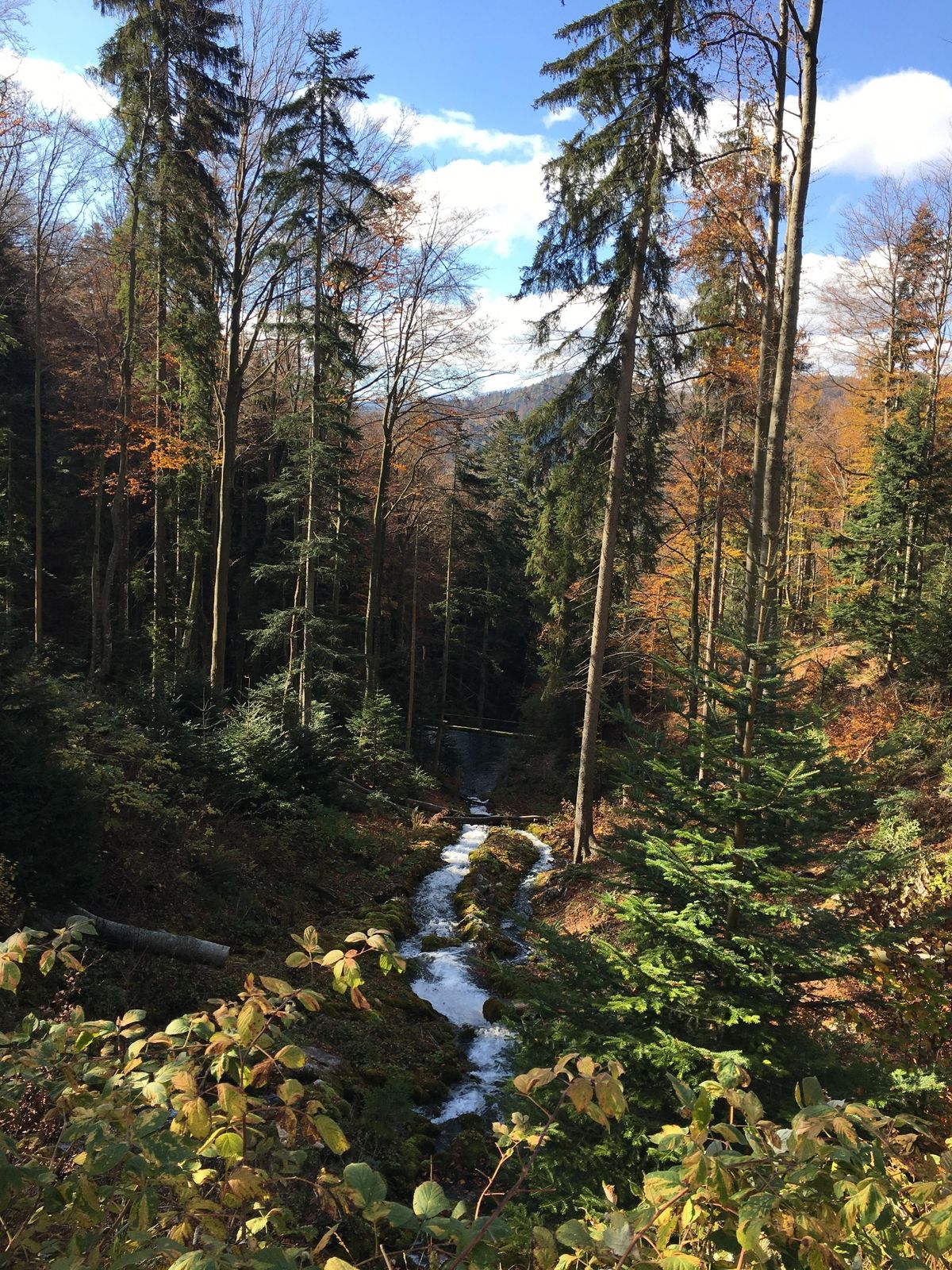
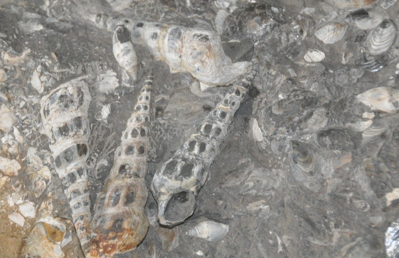
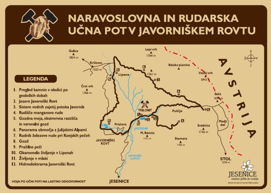
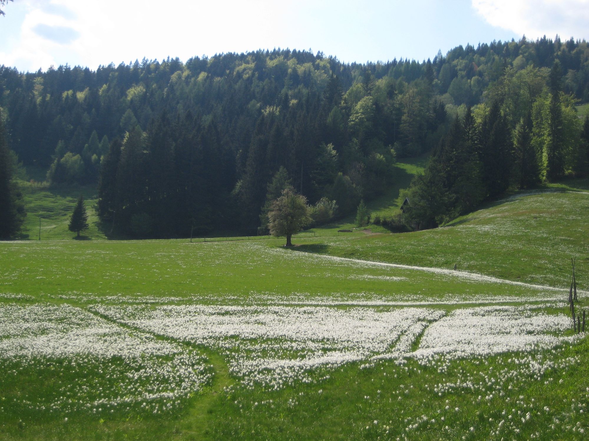
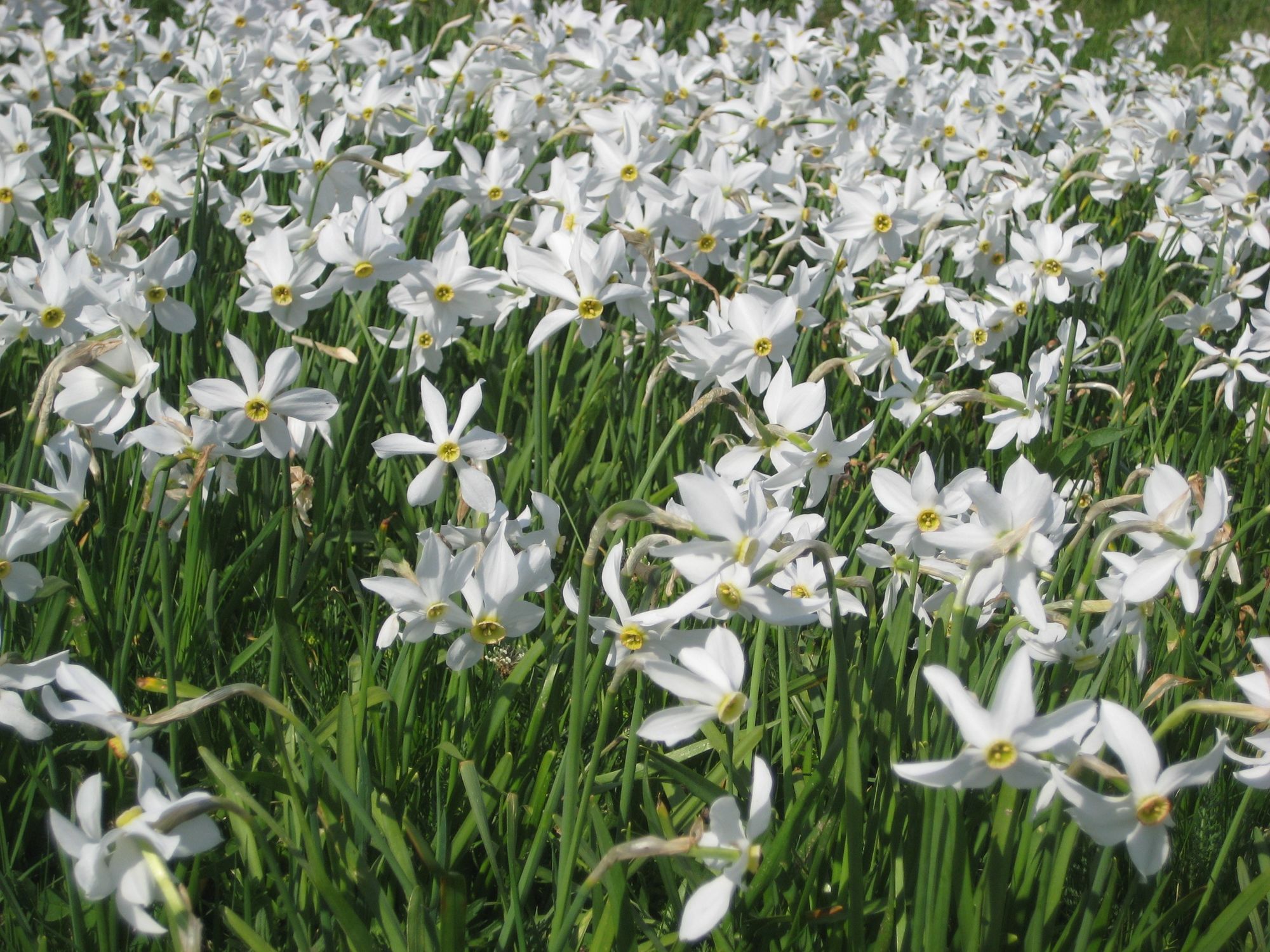
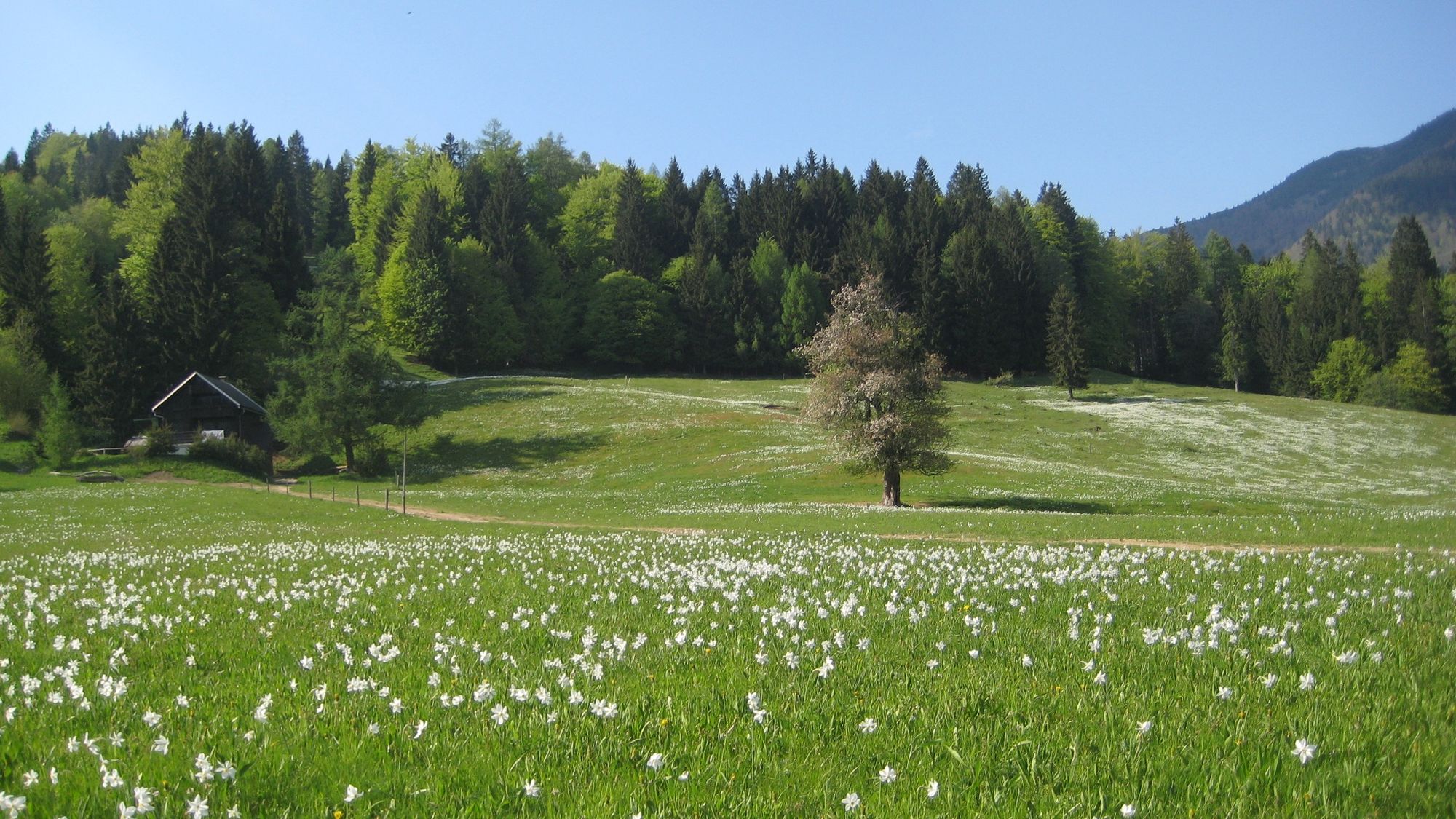
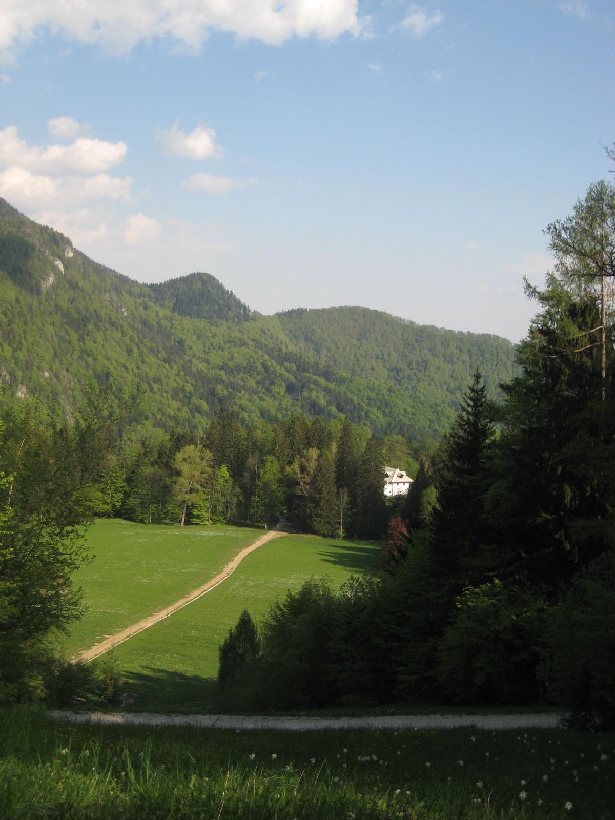
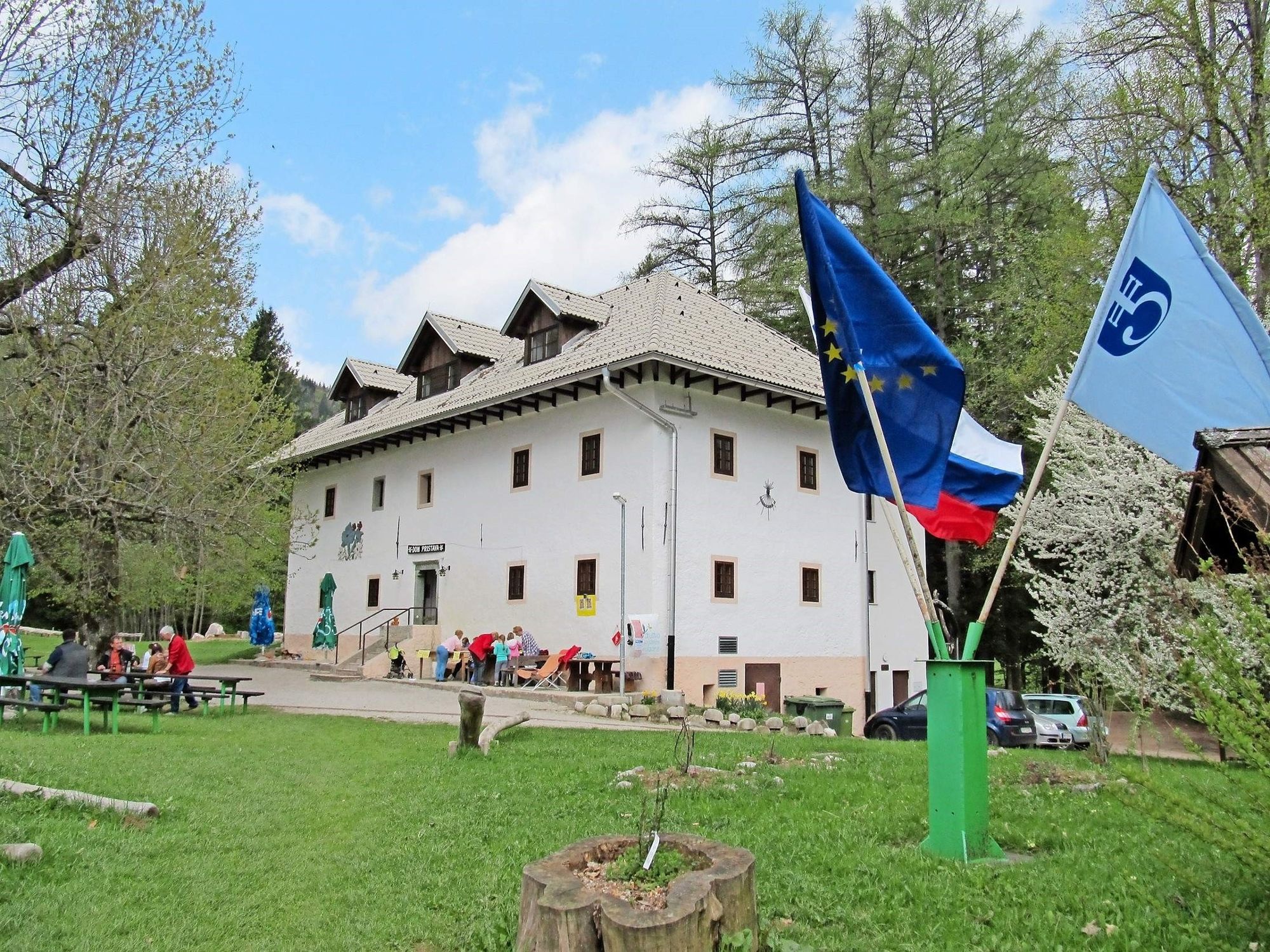
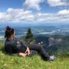
The Javorniški Rovt Nature and Mining Educational Trail is a themed trail that allows you to experience the history of mining, geology, and enjoy the characteristic features of nature and its ecosystems in the area under the Belska planina. Signposts are placed throughout this approximately 11 km long trail. The trail starts at the Trilobit CŠOD mountain hut and it will take you approximately 5 hours to hike it in full.
- Težavnost
-
srednja
- Ocenjevanje
-
- Pot
-
Konjska peč (1.296 m)5,5 kmJavorniški Rovt9,5 km
- Najboljša sezona
-
janfebmaraprmajjunjulavgsepoktnovdec
- Najvišja točka
- 1.497 m
- Destinacija
-
parking area at the Centre for School and Outdoor Education (Javorniški Rovt 25, 4270 Jesenice)
- Profil nadmorske višine
-
 © outdooractive.com
-
-
AvtorAlpe Adria Erlebnis-RegionTurneja Javorniški Rovt Nature and Mining Educational Trail uporablja outdooractive.com na spletni strani ..
GPS Downloads


Splošne informacije
Postanek za osvežitev
Kulturni/Zgodovinski
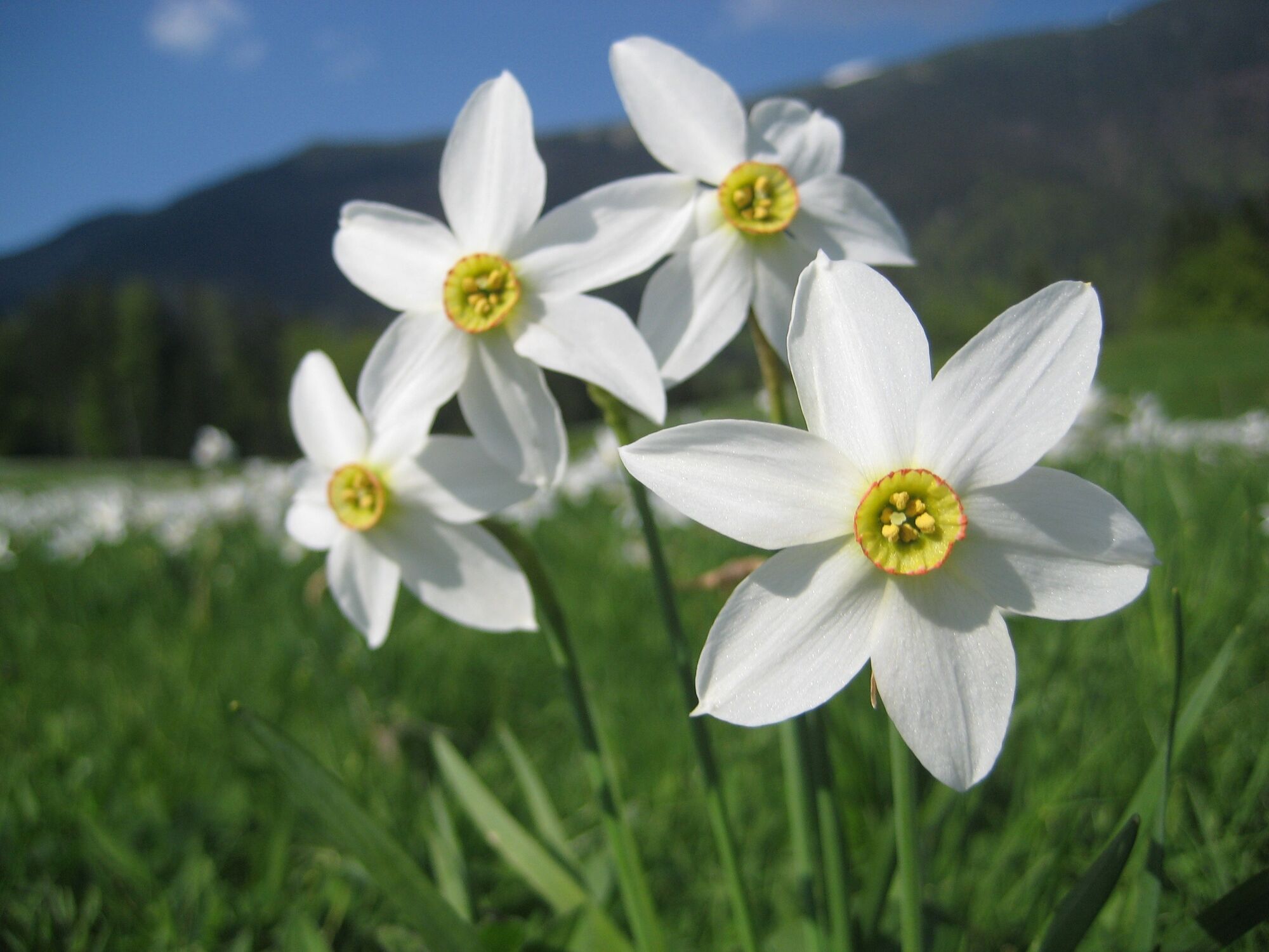
Flora
Favna
Obetavno
Več izletov v regijah
-
Wörthersee - Rosental
1947
-
Ludmannsdorf
411


