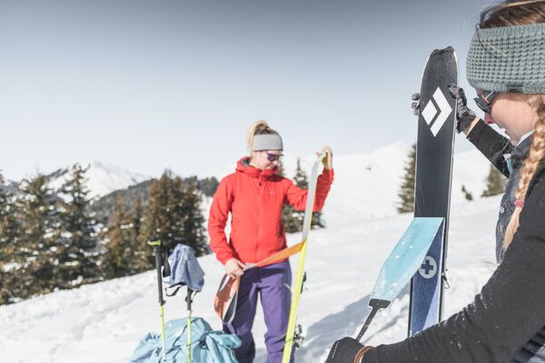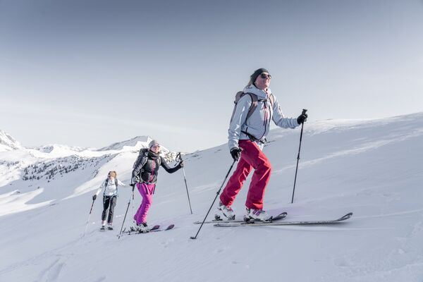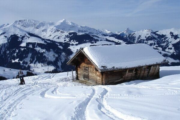

© Destination Gstaad - Destination Gstaad / Melanie Uhkoetter
- Kratek opis
-
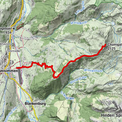
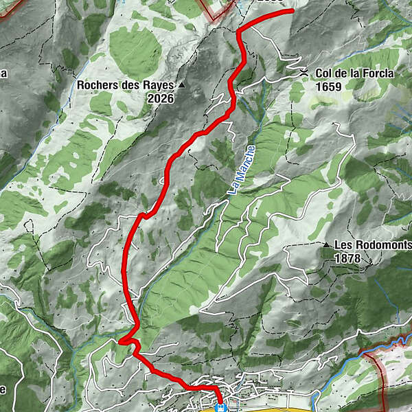
From Rougemont through the Vallée de la Manche and over the SW flank on the Haute Combe.
- Težavnost
-
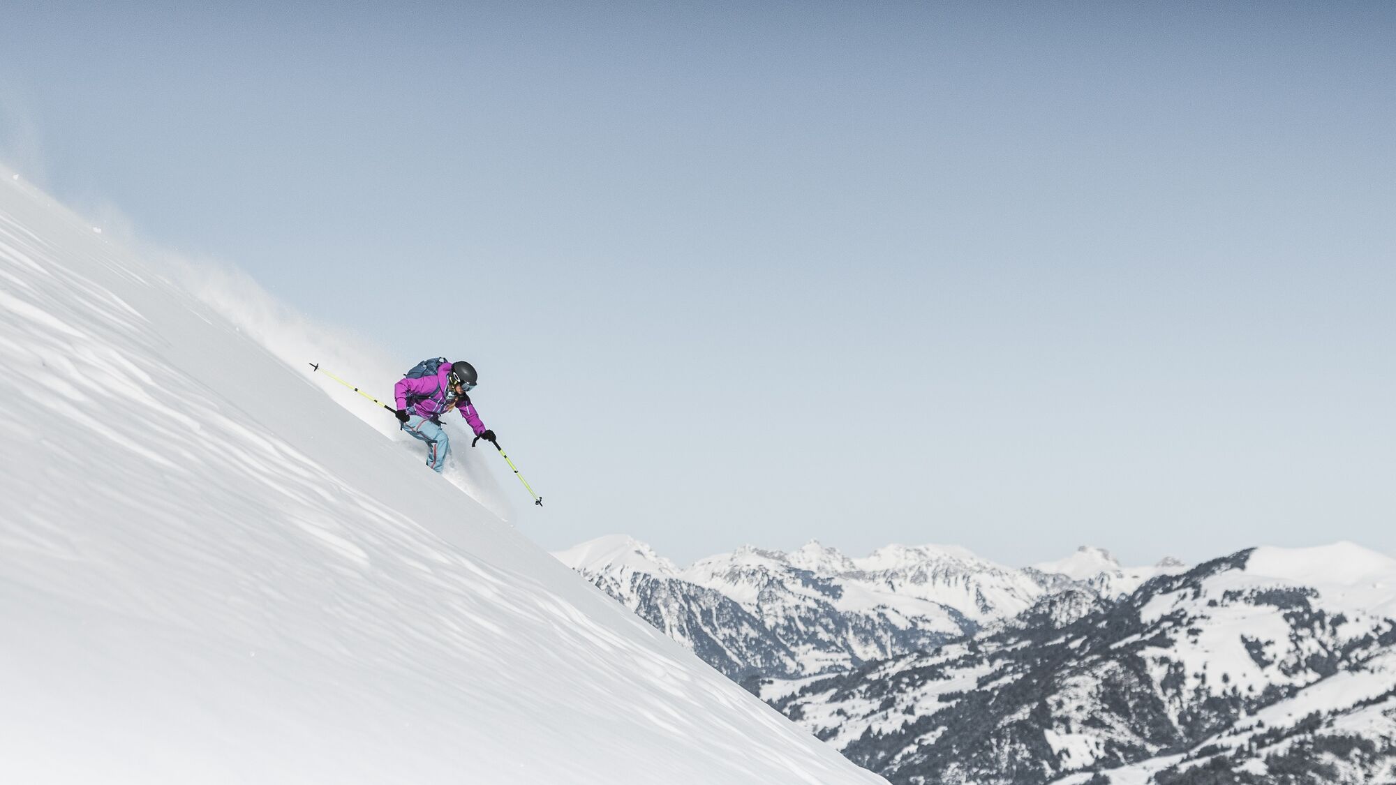
srednja
- Ocenjevanje
-
- Pot
-
Rougemont0,1 kmLa Neirive4,0 kmCombette6,5 kmHaute Combe (2.038 m)7,2 km
- Najboljša sezona
-
avgsepoktnovdecjanfebmaraprmajjunjul
- Najvišja točka
- 2.037 m
- Destinacija
-
Haute Combe (2039 M.a.s.l)
- Exposition
- Profil nadmorske višine
-
 © outdooractive.com
-

-
AvtorTurneja Rougemont – Haute Combe (2039 M.a.s.l) uporablja outdooractive.com na spletni strani ..
GPS Downloads


Splošne informacije
Obetavno
Več izletov v regijah
-
Alpes Vaudoises
60
-
Pays-d’Enhaut Région
47
-
Rougemont
12