
- Kratek opis
-
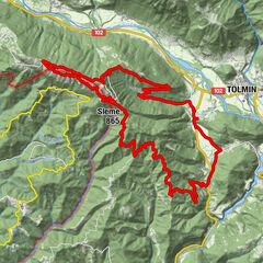
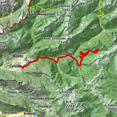
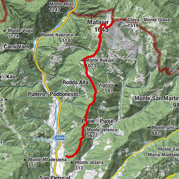
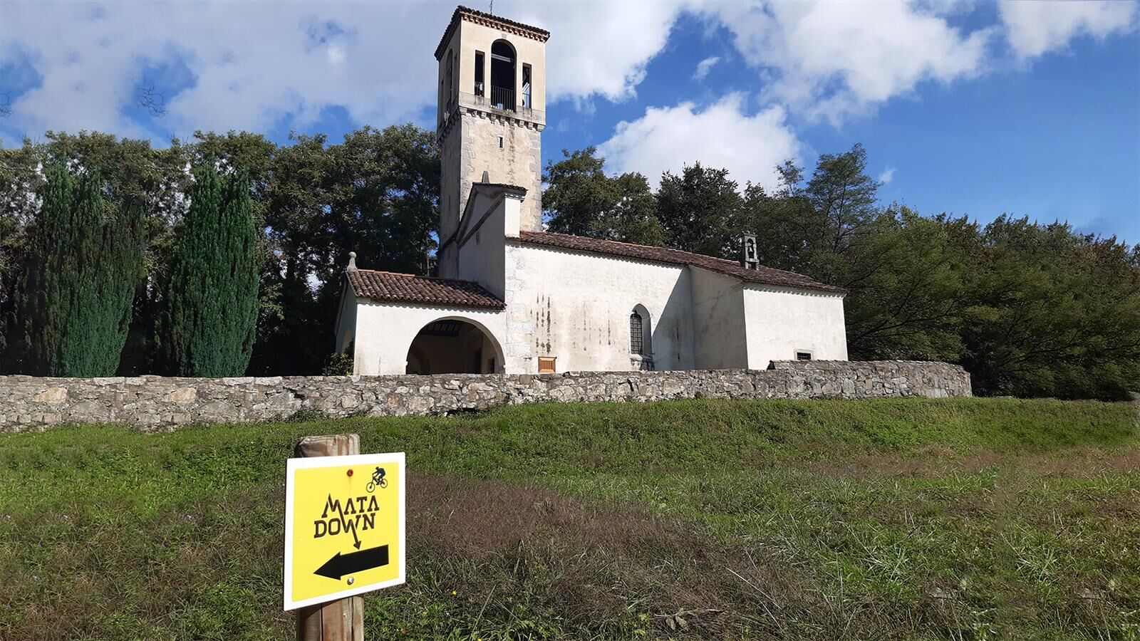
The king of the trails of the Natisone Valleys: a long nature trail that develops for about 12km from the top of Mount Matajur to reach the valley near the hamlet of Sorzento after about 1,450 m of negative elevation difference.
- Težavnost
-
srednja
- Ocenjevanje
-
- Pot
-
Matajur (1.645 m)0,0 kmDom na Matajure0,5 kmMarsinska Planina1,5 kmMalga Gosgnach2,6 kmMonte Glevizza (1.084 m)3,4 kmPasso di Glevizza3,7 kmMonte Nadolina (984 m)4,6 kmMonte Jelenca (562 m)8,9 km
- Najboljša sezona
-
janfebmaraprmajjunjulavgsepoktnovdec
- Najvišja točka
- 1.625 m
- Profil nadmorske višine
-
 © outdooractive.com
- Avtor
-
Turneja Matadown / 749 / 749° uporablja outdooractive.com na spletni strani ..
GPS Downloads


Več izletov v regijah