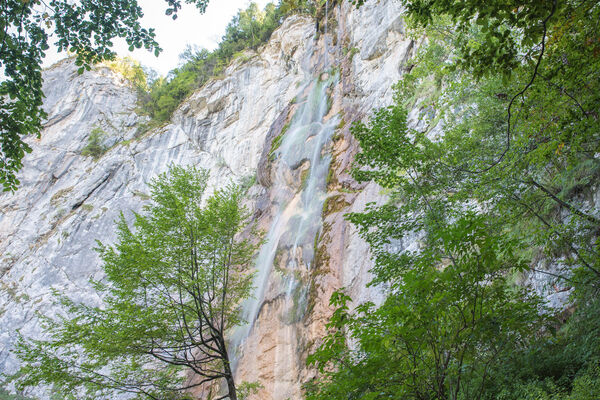
© Terra Dinarica - planinarenje .ba

© Terra Dinarica - planinarenje .ba

© Terra Dinarica - planinarenje .ba

© Terra Dinarica - planinarenje .ba

© Terra Dinarica - planinarenje .ba

- Kratek opis
-
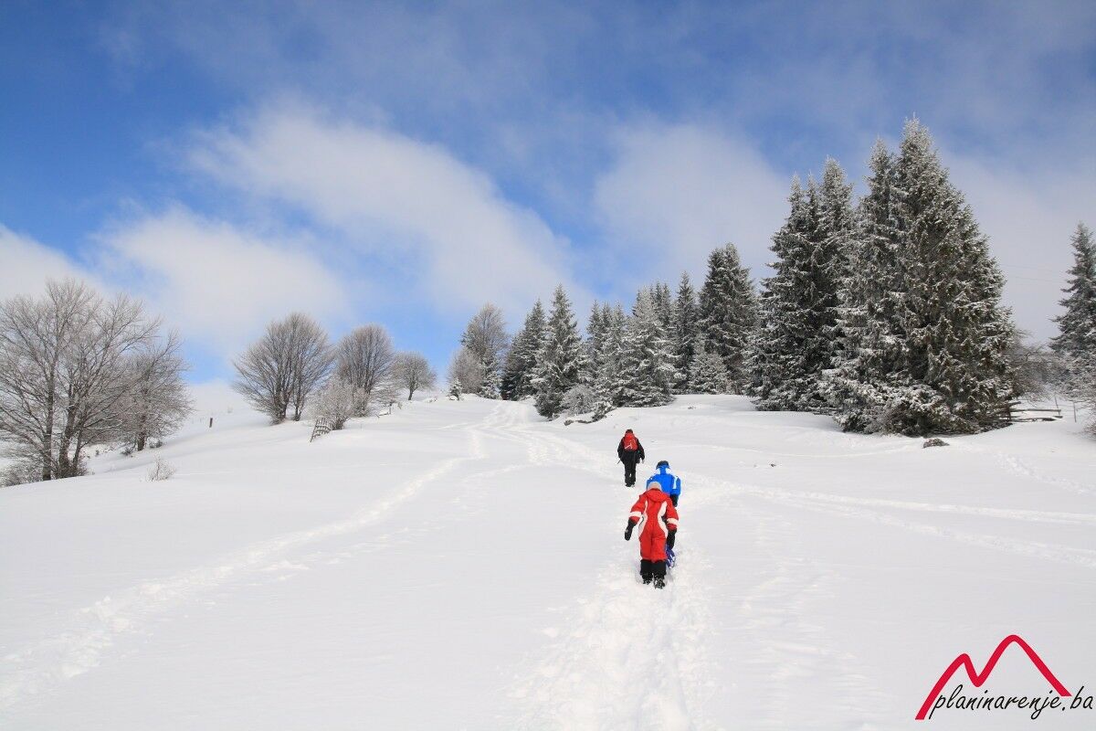
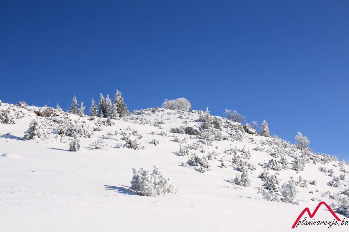
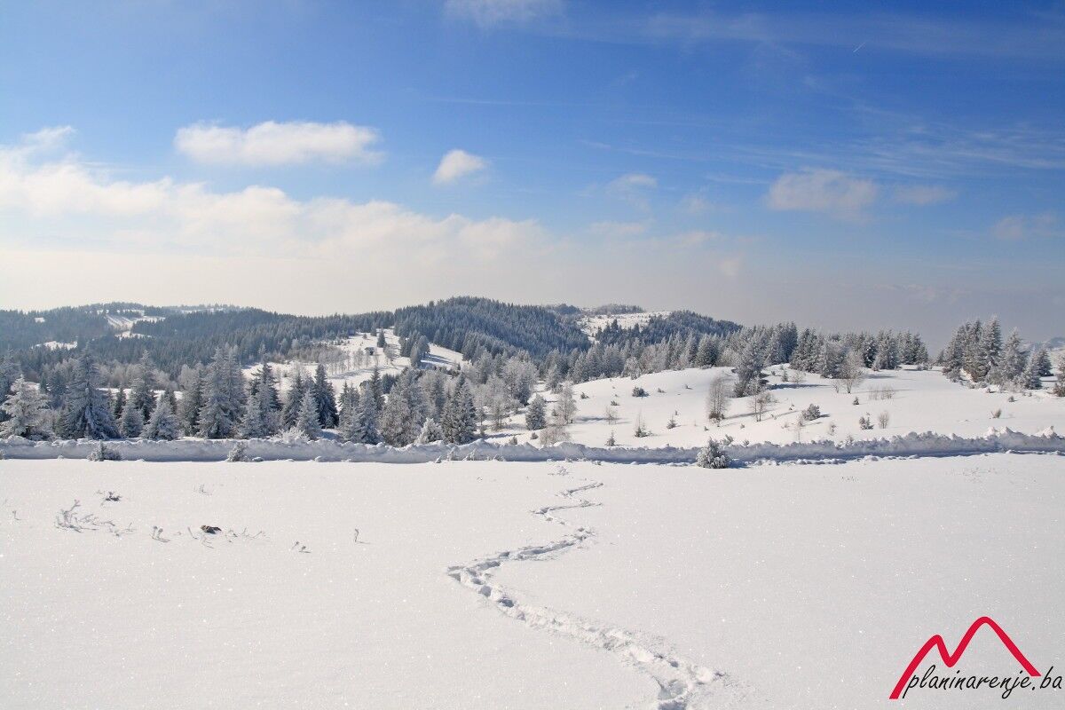
Easy walk, good for the time of year when the snow is deep, the weather bad and the days short. Although the altitude is just slightly over 1500 metres, you will enjoy a beautiful view of the mountains round Sarajevo.
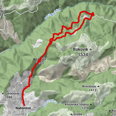
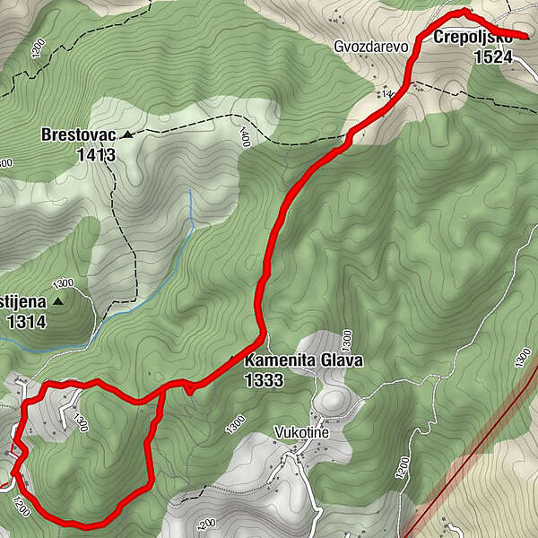
- Pot
-
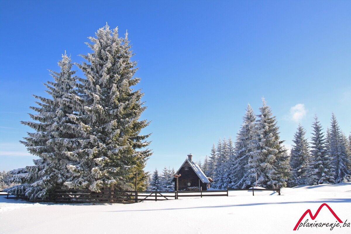
Kamenita Glava (1.333 m)1,8 kmKod Brace2,7 kmGvozdarevo3,7 kmCrepoljsko (1.524 m)4,5 kmKod Brace6,3 kmKamenita Glava (1.333 m)7,2 kmPlaninarska kuća Čavljak8,7 km
- Najvišja točka
- 1.497 m
- Destinacija
-
Crepoljsko
- Profil nadmorske višine
-
 © outdooractive.com

-

-
AvtorTurneja Čavljak-Crepoljsko uporablja outdooractive.com na spletni strani ..
GPS Downloads


Več izletov v regijah
-
Bosnien
44