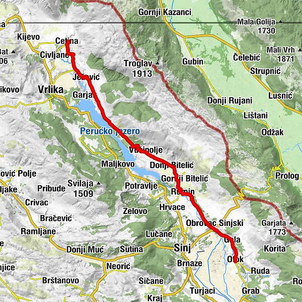
Via Dinarica HR-W-26 Source of the Cetina River - Peruča - Sinjsko polje


- Kratek opis
-
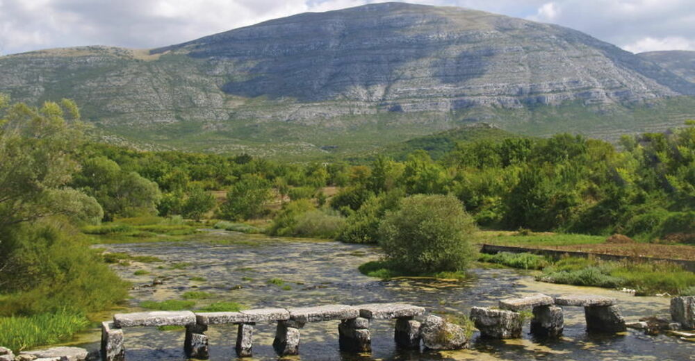
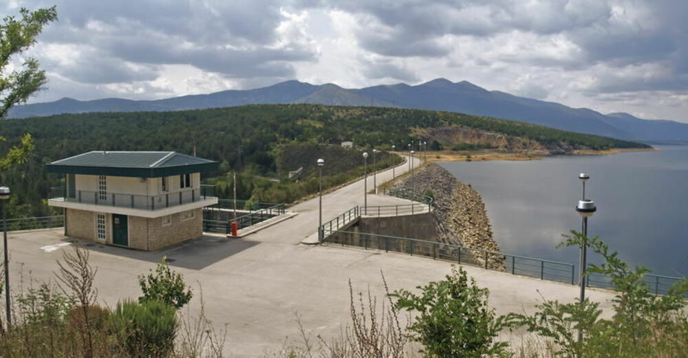
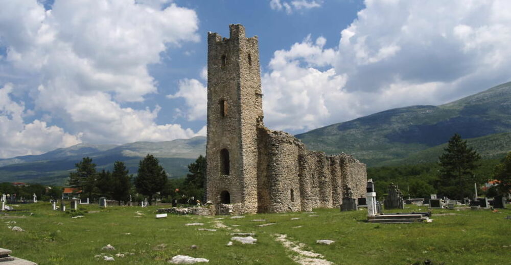
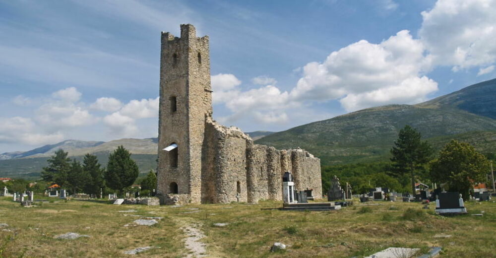
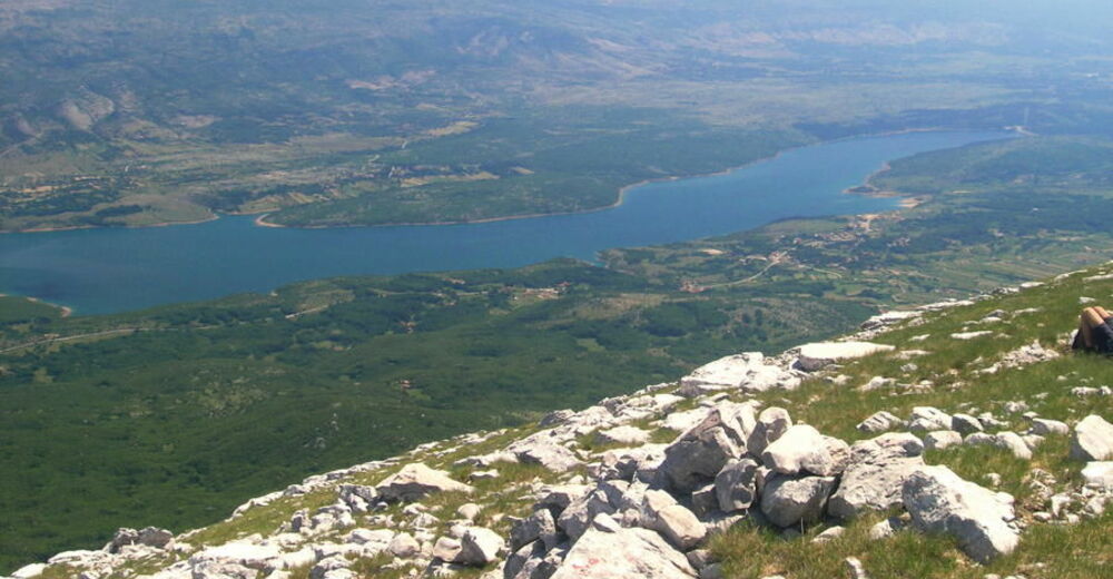
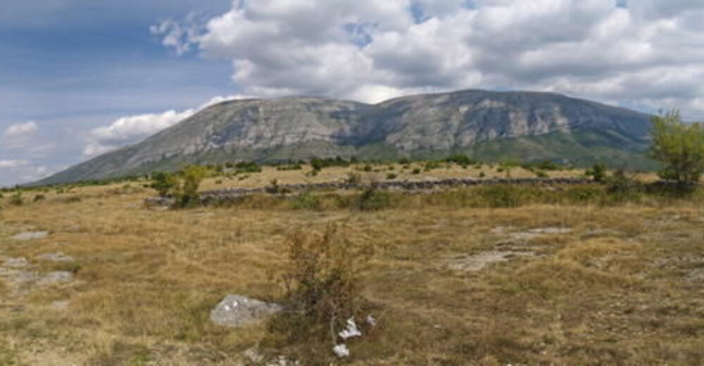
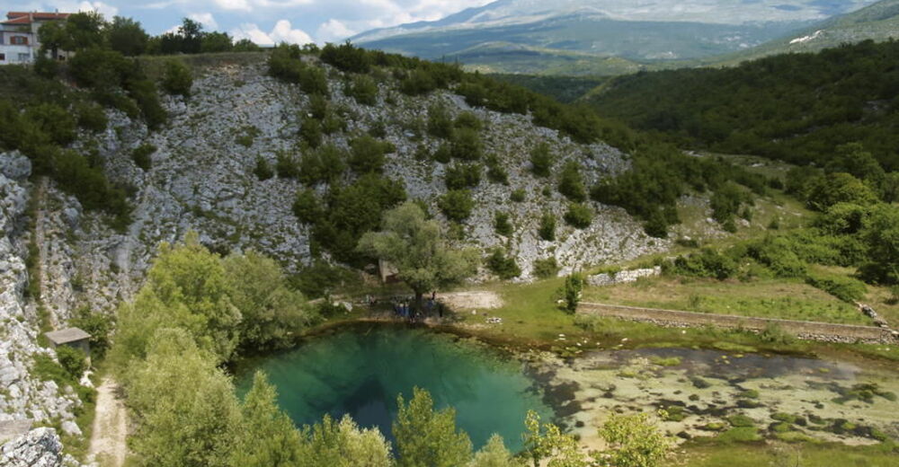
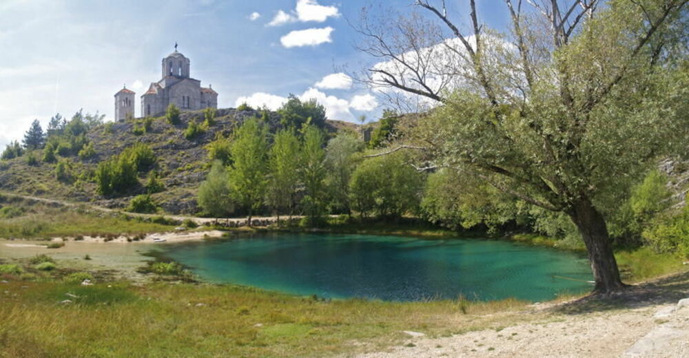
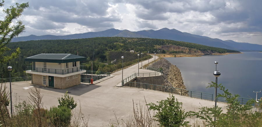
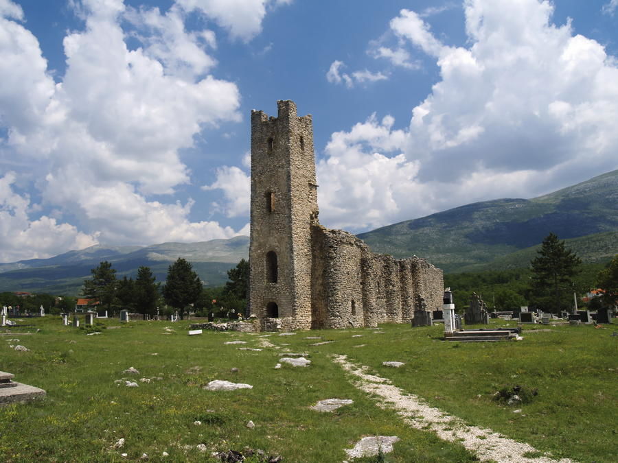
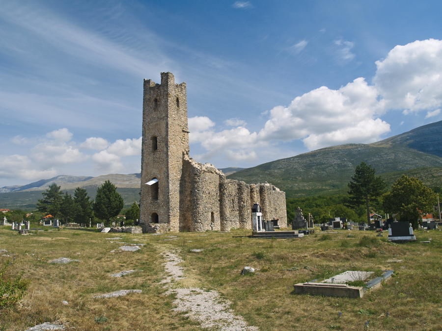
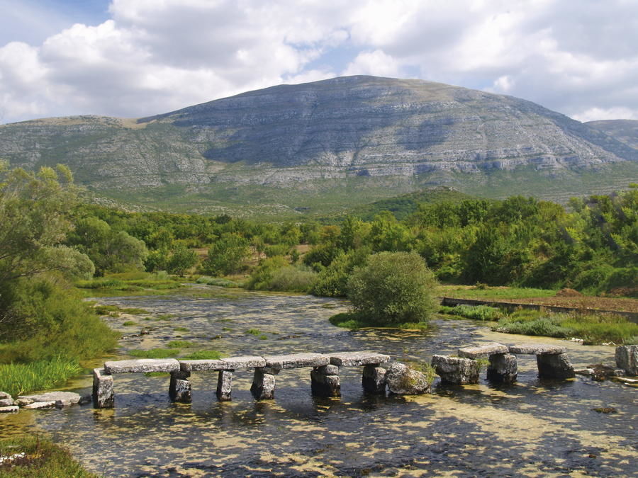
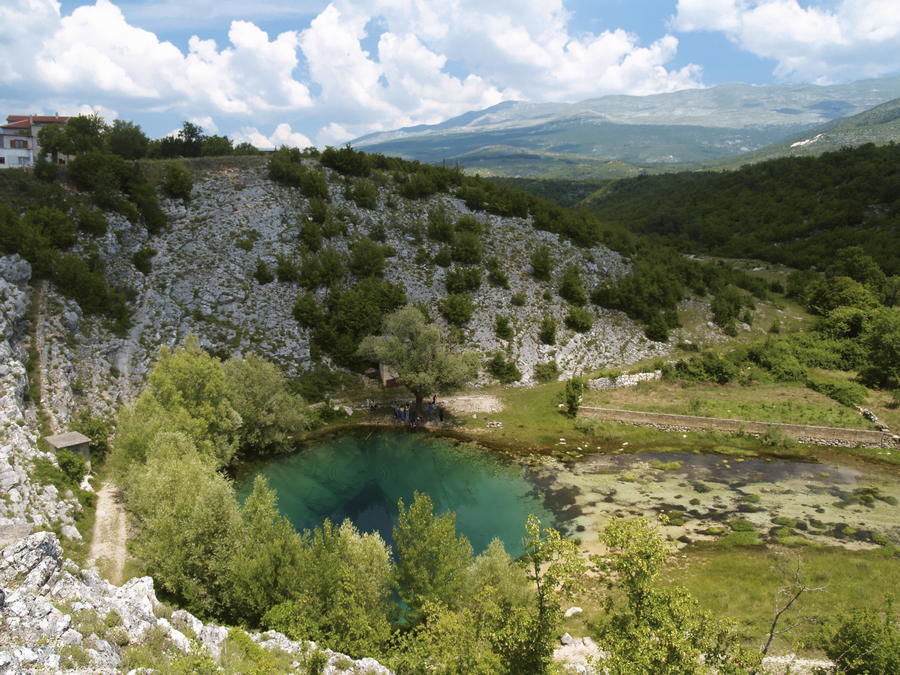
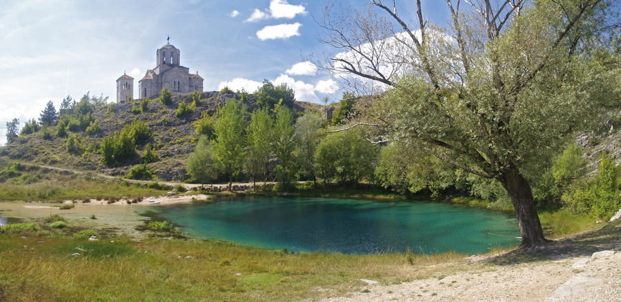
The area of the Cetina River – the longest river flowing only in the territory of Croatia without either crossing or serving as a state border – represents a genuine treasure trove of historical and cultural heritage. The river has several sources. Already at the main source – the largest source in the village of Cetina – there are two valuable historical church monuments: ancient Croatian church of the Holy Salvation with the largest ancient burial ground in the country, and an Orthodox Christian chapel, an endowment of one family, located above the lake that represents the source of the river. On its path to the sea, the Cetina River flows under intriguing old stone bridges; powers ancient mill wheels and turbines of hydroelectric plants Peruča, Orlovac, Đale, Kraljevac and Zakučac; flows into the largest artificial lake in Croatia, filling it with water; finds its way between the rocks, creating impressive canyons; finally, the river enters the magnificent area between the steep vertical cliffs near the city of Omiš, concluding its flow by entering the sea. This particular trail section enables hikers to get acquainted with the Cetina River in its source area and in the area along the lake of Peruča.
- Težavnost
-
enostavno
- Ocenjevanje
-
- Pot
-
Cetina springIzvor Cetine0,0 kmMilaši0,1 kmBarišići0,3 kmCetina0,5 kmTotići4,0 kmGverići5,3 kmBoduljaci5,5 kmVuletići5,6 kmTarle6,3 kmJežević7,9 kmKrkobabići13,8 kmVukovići14,0 kmKoljane14,5 kmDabar21,8 kmDonji Bitelić27,7 kmVulići28,1 kmGornji Buljani28,7 kmStojići30,9 kmRumin32,9 kmBajagić37,5 kmsvetog Nikole biskupa37,5 kmDonji Baraći37,8 kmBalaići38,1 kmMarendići38,7 kmHan40,5 kmObrovac Sinjski40,6 kmPizzeria Rudy Han40,6 kmPetričevići40,9 kmJelovići41,9 kmBoškovići42,6 kmGala43,8 kmKrenica44,1 kmMilanovići44,9 kmBatlan45,4 kmSušići47,0 kmOtok47,0 km
- Najboljša sezona
-
janfebmaraprmajjunjulavgsepoktnovdec
- Najvišja točka
- 476 m
- Destinacija
-
Izvor Cetine
- Profil nadmorske višine
-
 © outdooractive.com


-

-
AvtorTurneja Via Dinarica HR-W-26 Source of the Cetina River - Peruča - Sinjsko polje uporablja outdooractive.com na spletni strani ..