- Kratek opis
-
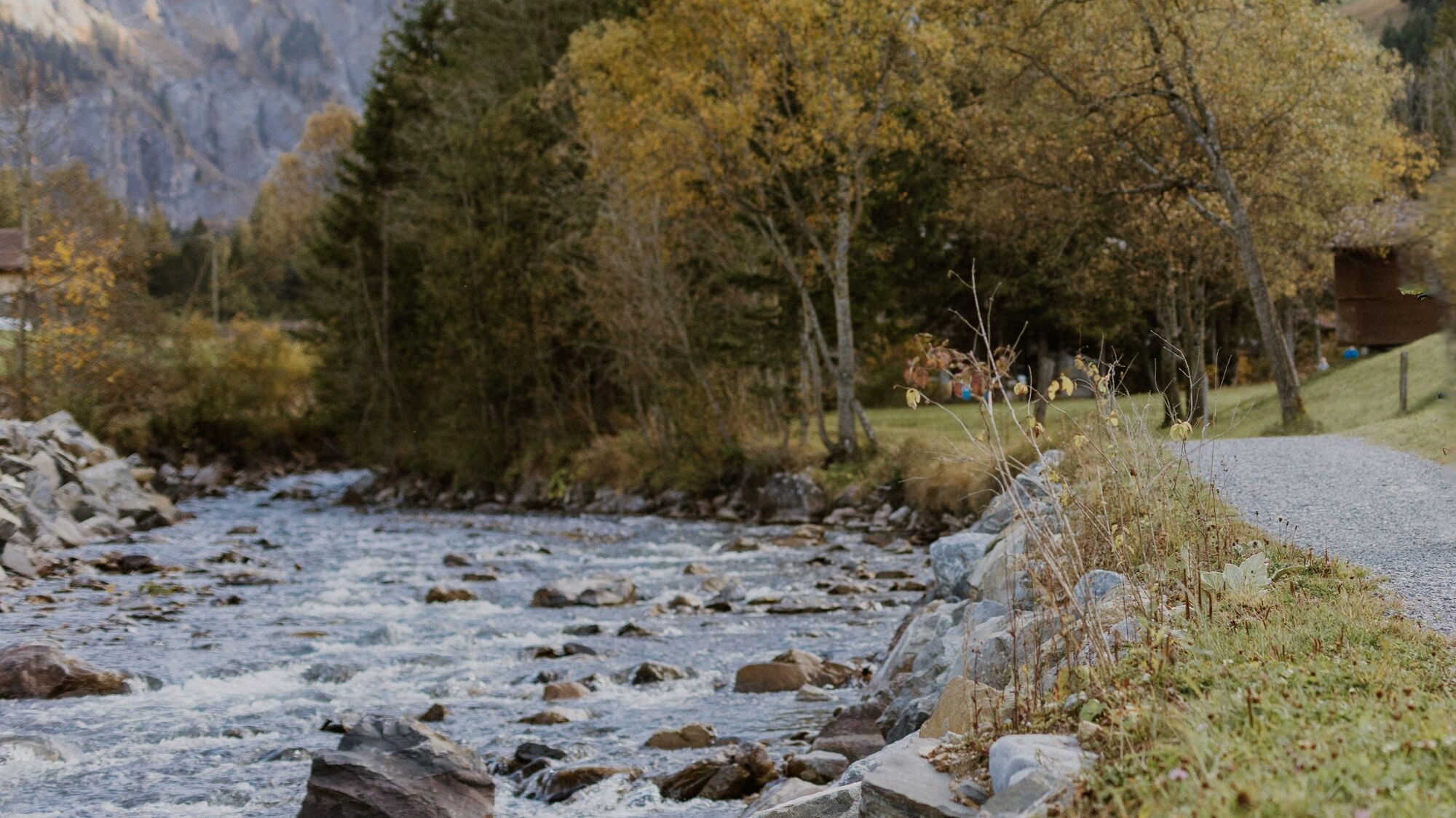
This traffic-free walking path really goes against the flow: The 90 minute walk takes you out from the picturesque village upstream along the path of the mountain brook to the foot of Engstligenalp where the foaming waters cascade powerfully before your eyes and ears.
- Težavnost
-
enostavno
- Ocenjevanje
-
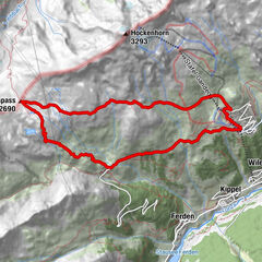
- Pot
-
Adelboden (1.350 m)0,1 kmSteinbock4,7 kmRestaurant Bergbach4,8 km
- Najboljša sezona
-
janfebmaraprmajjunjulavgsepoktnovdec
- Najvišja točka
- 1.403 m
- Destinacija
-
Unter dem Birg
- Profil nadmorske višine
-
 © outdooractive.com
-

-
AvtorTurneja Boden–Unter dem Birg– Waterfall uporablja outdooractive.com na spletni strani ..
GPS Downloads


Splošne informacije
Postanek za osvežitev
Več izletov v regijah
-
Oberwallis
1872
-
Adelboden
987
-
Frutigen
318