


3-day hike: On the way in the Nagelfluhkette Nature Park
Fotografije naših uporabnikov
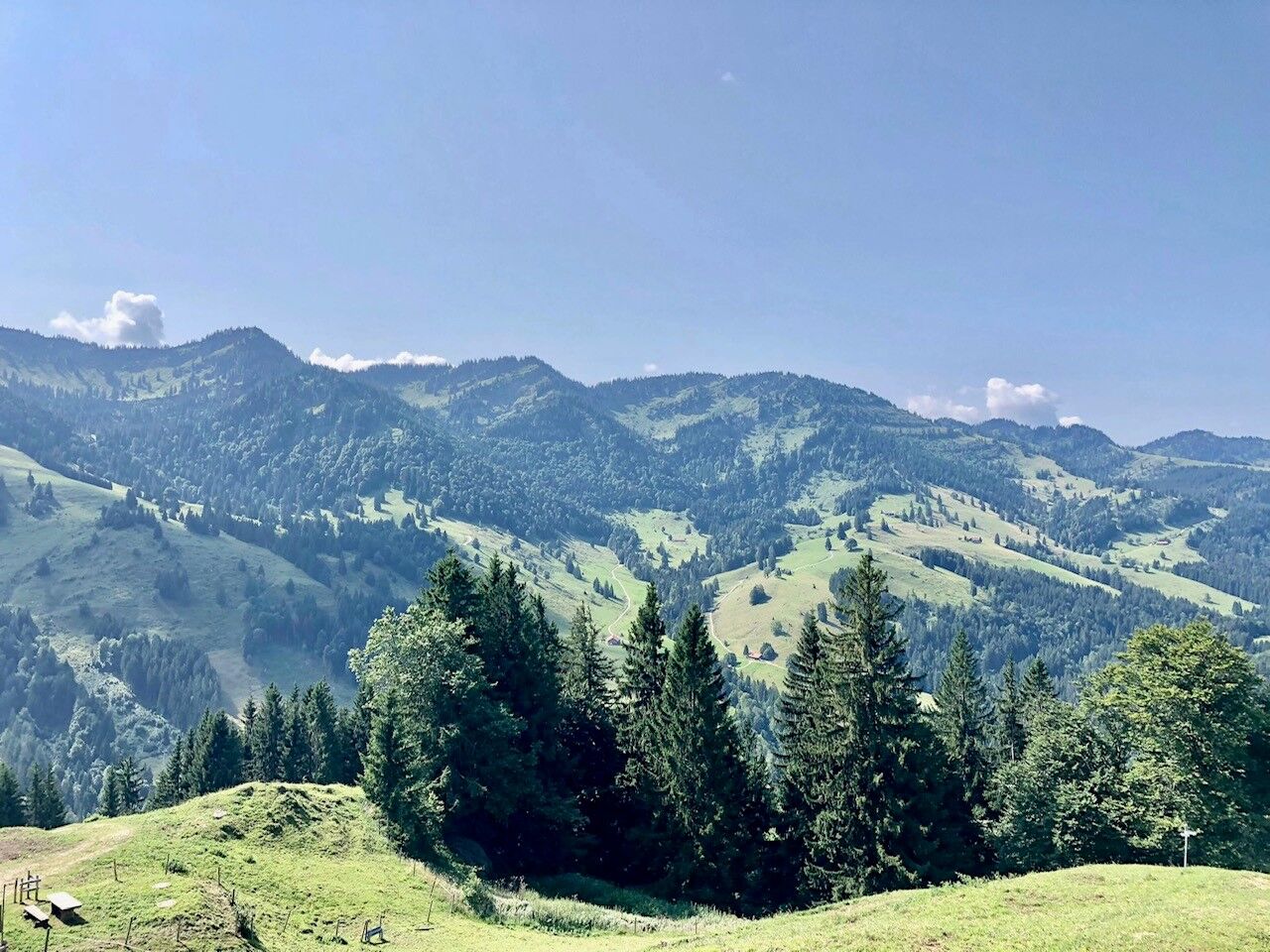
 © Max WiedemannUstvarjeno na 18.09.2023
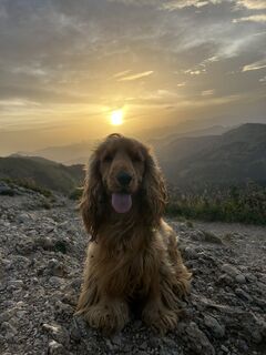
 © Ralf TheuneUstvarjeno na 22.05.2026
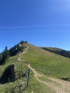 © Ralf TheuneUstvarjeno na 22.05.2026
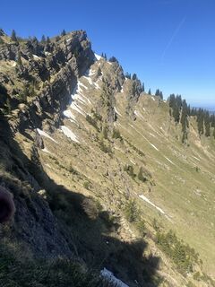 © Ralf TheuneUstvarjeno na 22.05.2026
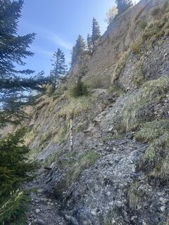 © Ralf TheuneUstvarjeno na 22.05.2026
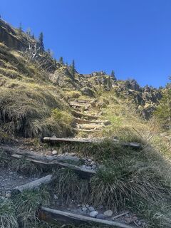 © Ralf TheuneUstvarjeno na 22.05.2026
 © Ralf TheuneUstvarjeno na 22.05.2026
 © Yuekselengin68Ustvarjeno na 02.05.2026
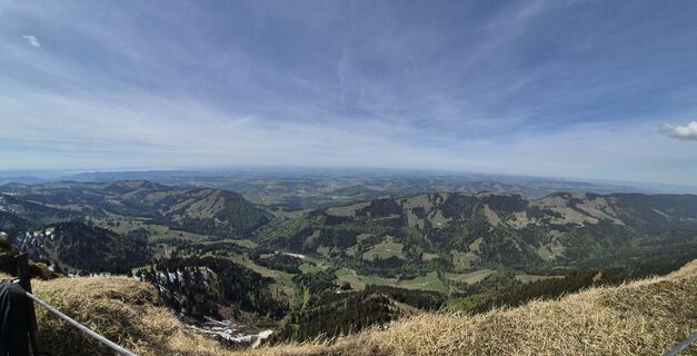 © Yuekselengin68Ustvarjeno na 02.05.2026
 © Yuekselengin68Ustvarjeno na 02.05.2026
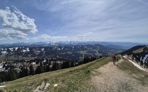 © Yuekselengin68Ustvarjeno na 02.05.2026
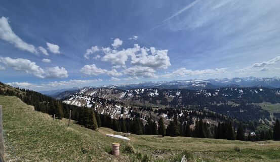 © Yuekselengin68Ustvarjeno na 02.05.2026
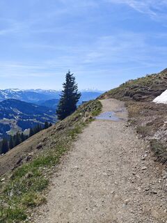
 © Wolfram DickUstvarjeno na 24.04.2026
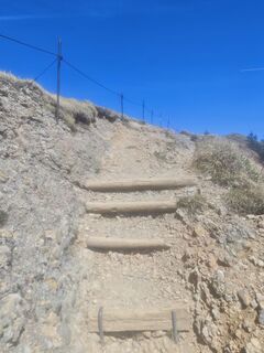 © Wolfram DickUstvarjeno na 24.04.2026
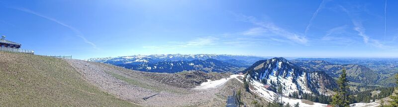 © Wolfram DickUstvarjeno na 24.04.2026
 © David ShortsUstvarjeno na 20.04.2026
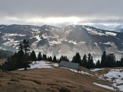
 © TurbinioUstvarjeno na 30.12.2025
 © TurbinioUstvarjeno na 30.12.2025
 © TurbinioUstvarjeno na 30.12.2025
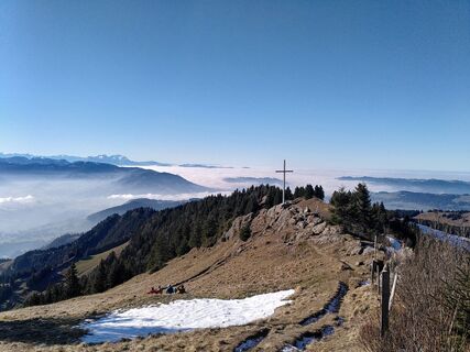 © Robert MüllerUstvarjeno na 28.12.2025
 © Tanja55Ustvarjeno na 07.10.2025
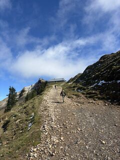 © Tanja55Ustvarjeno na 07.10.2025
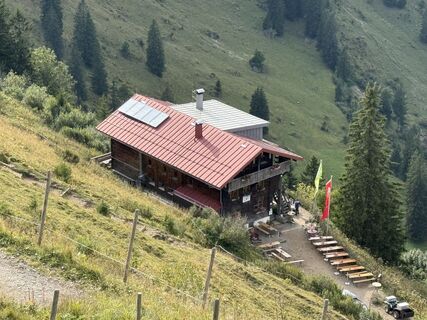
 © Norbert HerbigUstvarjeno na 13.09.2025
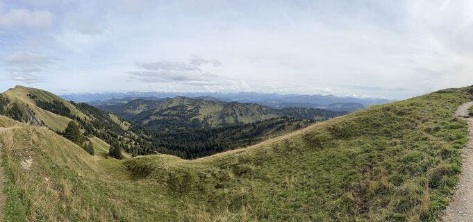 © Norbert HerbigUstvarjeno na 13.09.2025
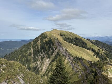 © Norbert HerbigUstvarjeno na 13.09.2025
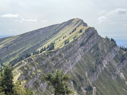 © Norbert HerbigUstvarjeno na 13.09.2025
 © Norbert HerbigUstvarjeno na 13.09.2025
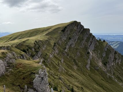 © Norbert HerbigUstvarjeno na 13.09.2025
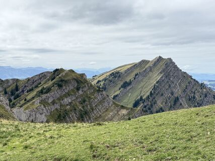 © Norbert HerbigUstvarjeno na 13.09.2025
 © Norbert HerbigUstvarjeno na 13.09.2025
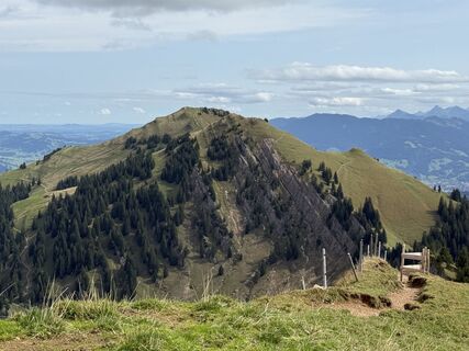 © Norbert HerbigUstvarjeno na 13.09.2025
 © Norbert HerbigUstvarjeno na 13.09.2025
 © Norbert HerbigUstvarjeno na 13.09.2025
 © Norbert HerbigUstvarjeno na 13.09.2025
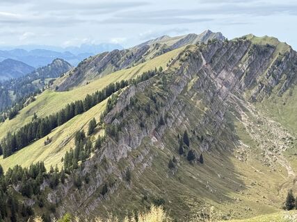 © Norbert HerbigUstvarjeno na 13.09.2025
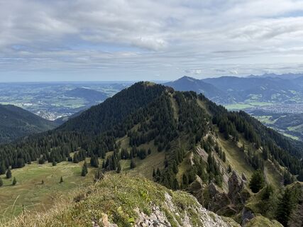 © Norbert HerbigUstvarjeno na 13.09.2025
 © Norbert HerbigUstvarjeno na 13.09.2025
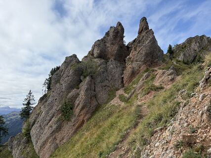 © Norbert HerbigUstvarjeno na 13.09.2025
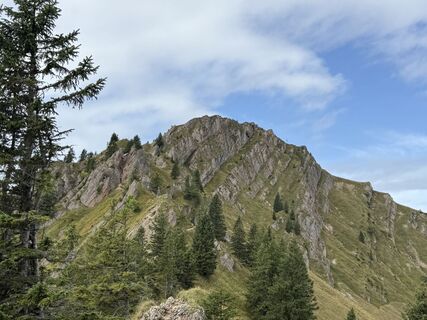 © Norbert HerbigUstvarjeno na 13.09.2025
 © Norbert HerbigUstvarjeno na 13.09.2025
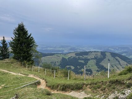 © Werner FeltenUstvarjeno na 16.08.2025
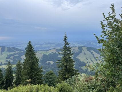 © Werner FeltenUstvarjeno na 16.08.2025
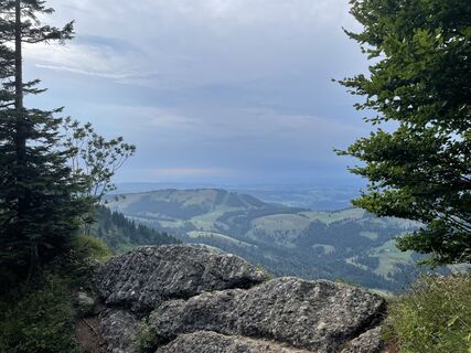 © Werner FeltenUstvarjeno na 16.08.2025
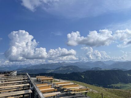 © Werner FeltenUstvarjeno na 16.08.2025
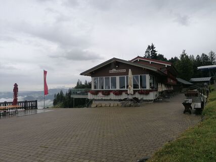 © TurbinioUstvarjeno na 15.07.2025
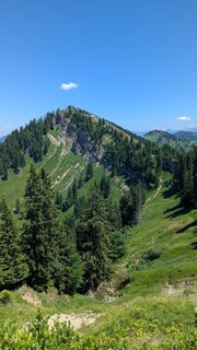
 © hochlandfamilieUstvarjeno na 24.06.2025
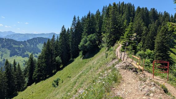 © hochlandfamilieUstvarjeno na 24.06.2025
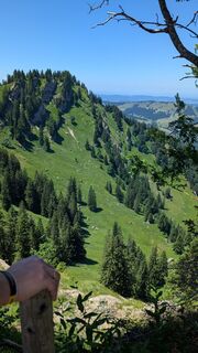 © hochlandfamilieUstvarjeno na 24.06.2025


Day 1
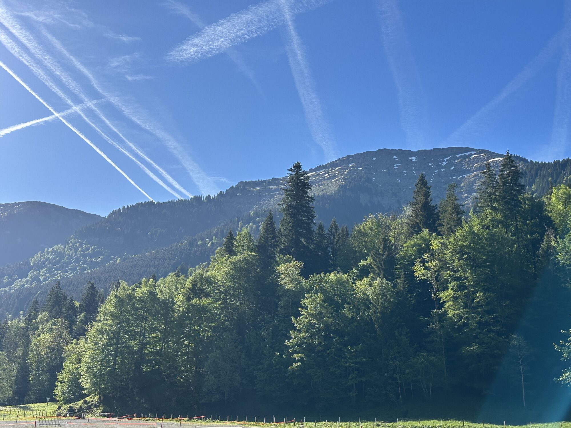
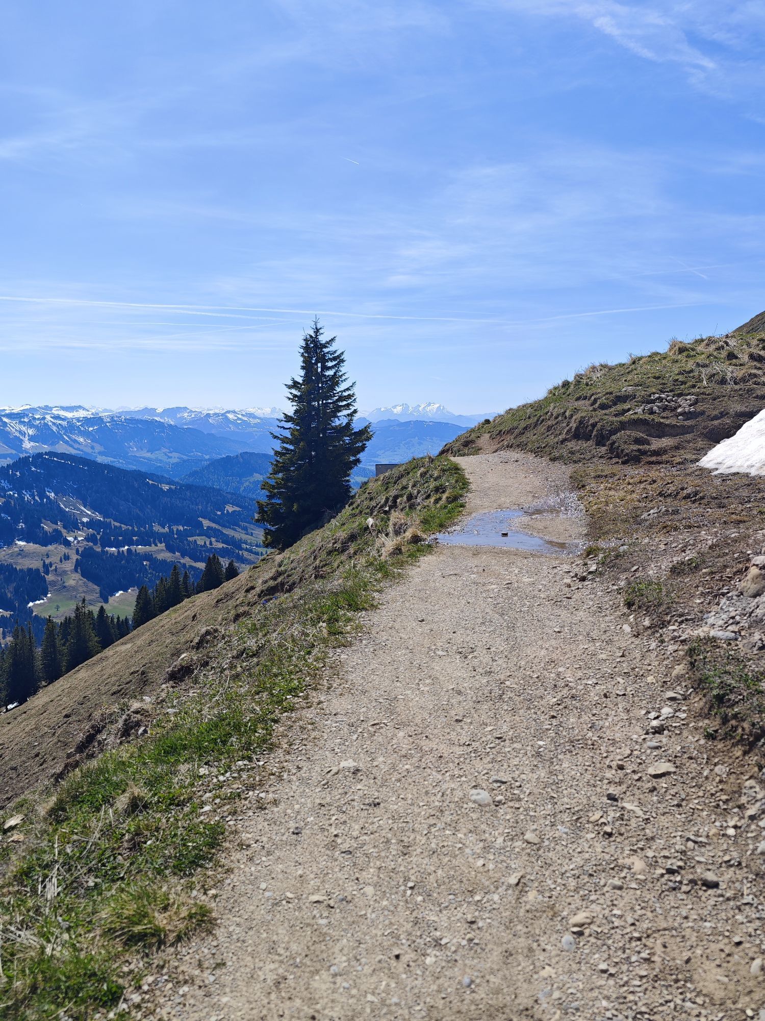
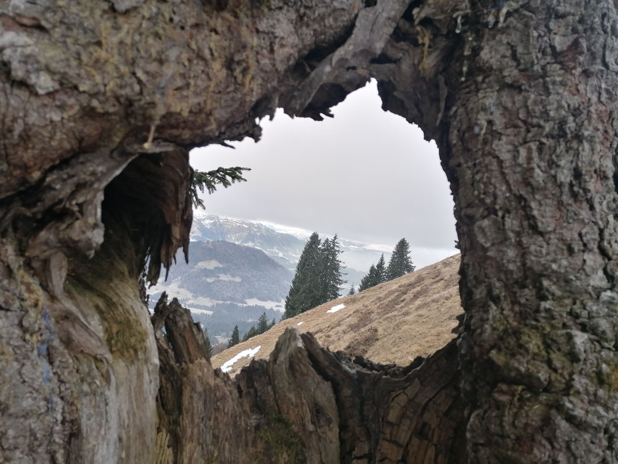
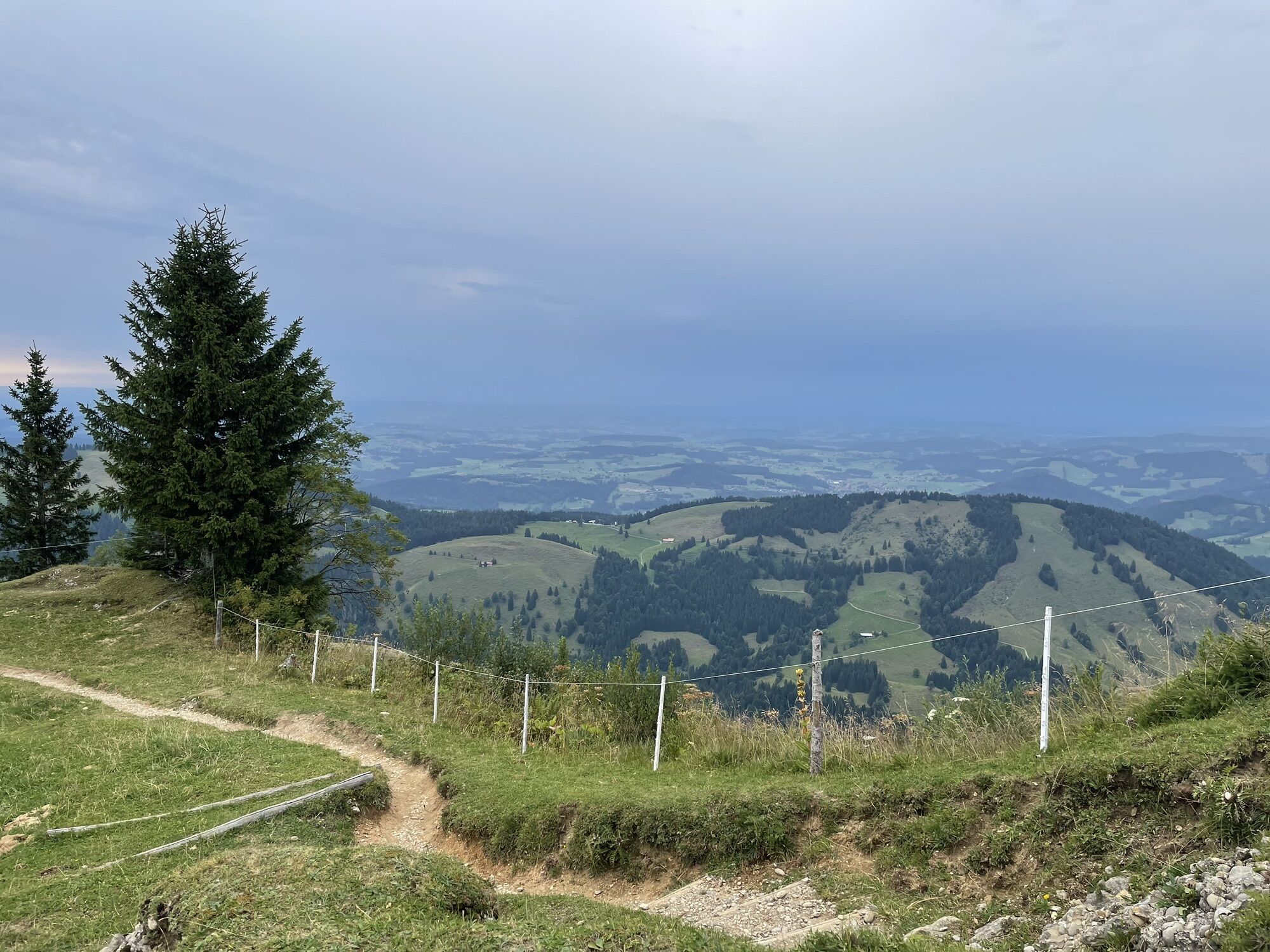
From the valley station of the Hochgratbahn, we climb to the Prodelalpe. Heading east, we continue along the ridge of Prodel, Denneberg, Klammen, and Himmeleck, passing the Rosshütte to the Seifenmoos...
Day 1
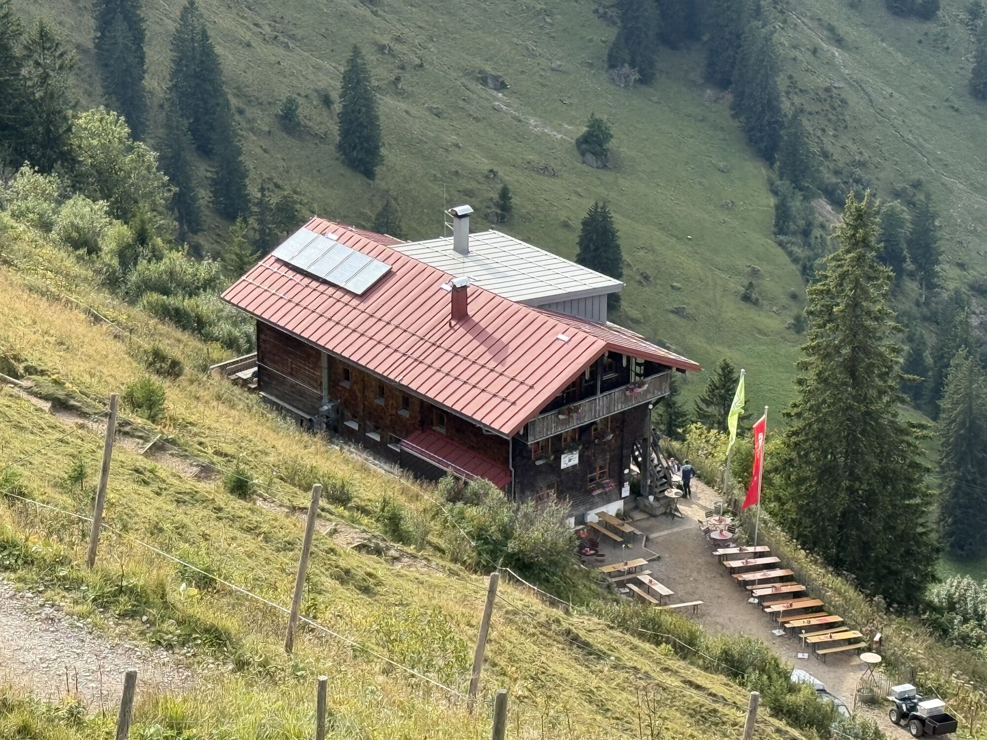
From the valley station of the Hochgratbahn, we climb to the Prodelalpe. Heading east, we continue along the ridge of Prodel, Denneberg, Klammen, and Himmeleck, passing the Rosshütte to the Seifenmoos and shortly thereafter to our first overnight stay, the Kempten Naturfreundehaus (Tel. 08323/2123) - alternatively, the Sennalpe Mittelberg is also an option for overnight accommodation.
Day 2
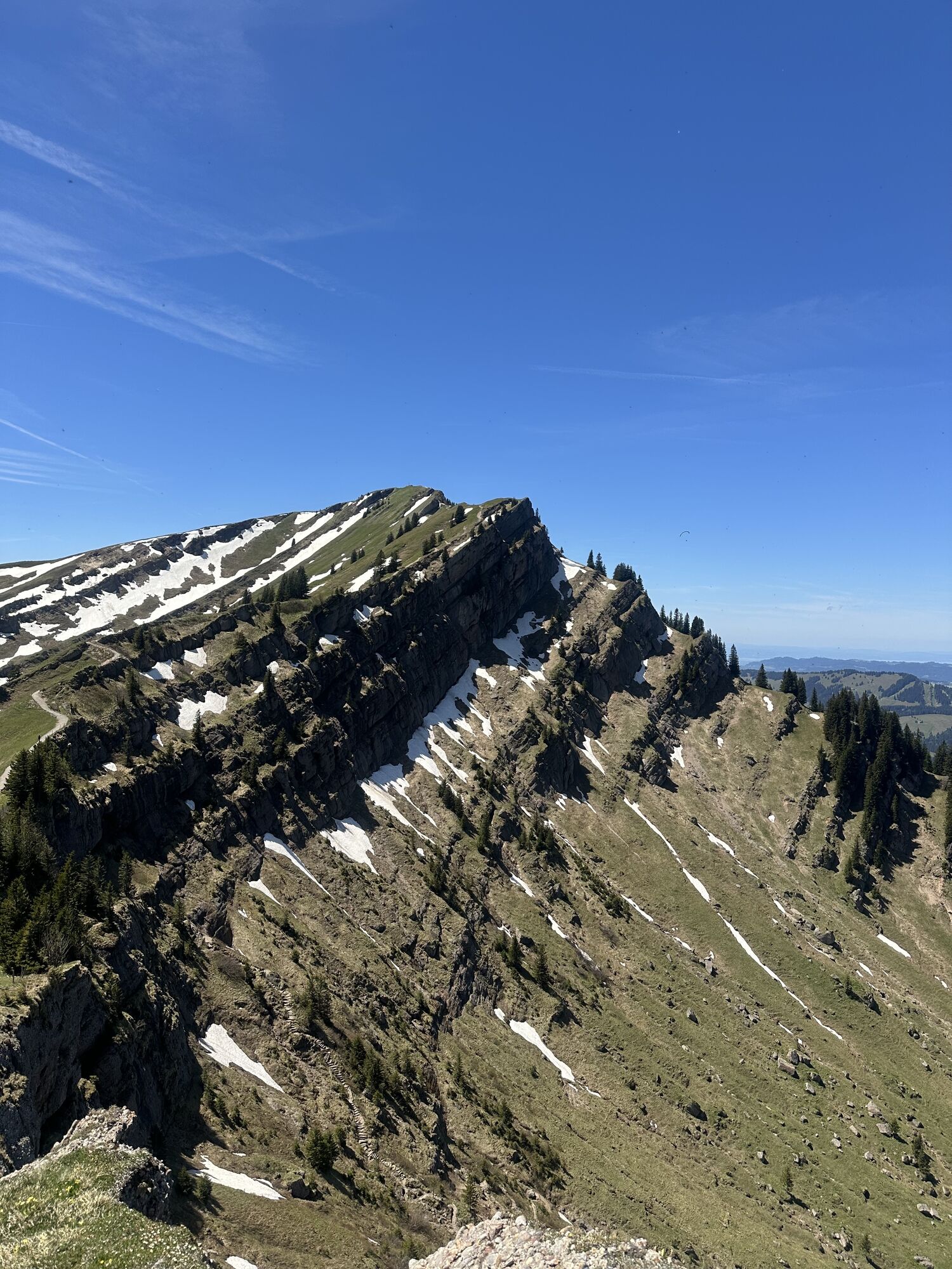
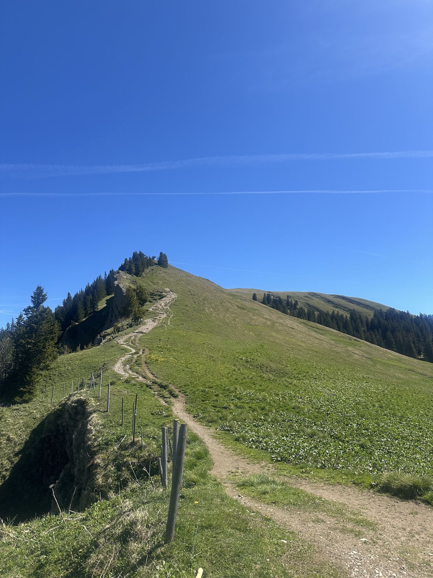
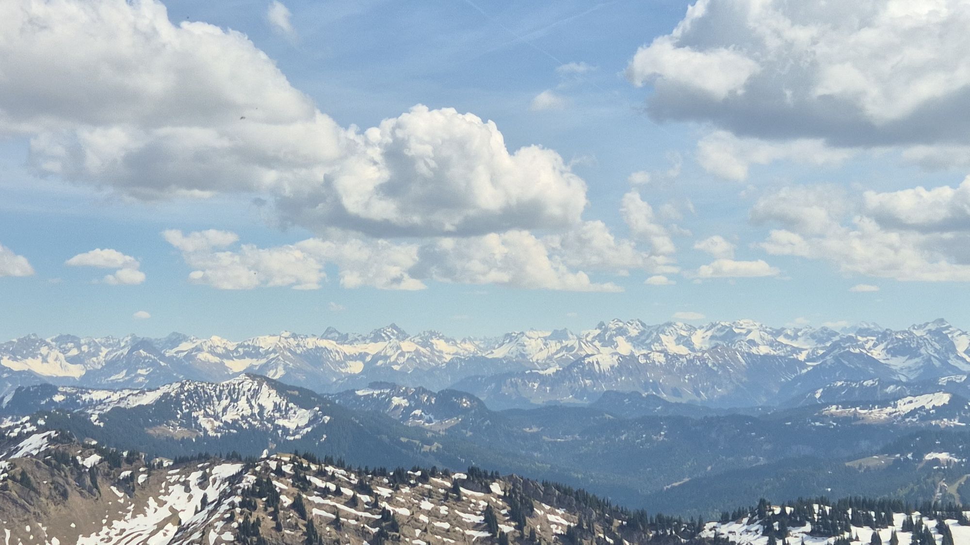
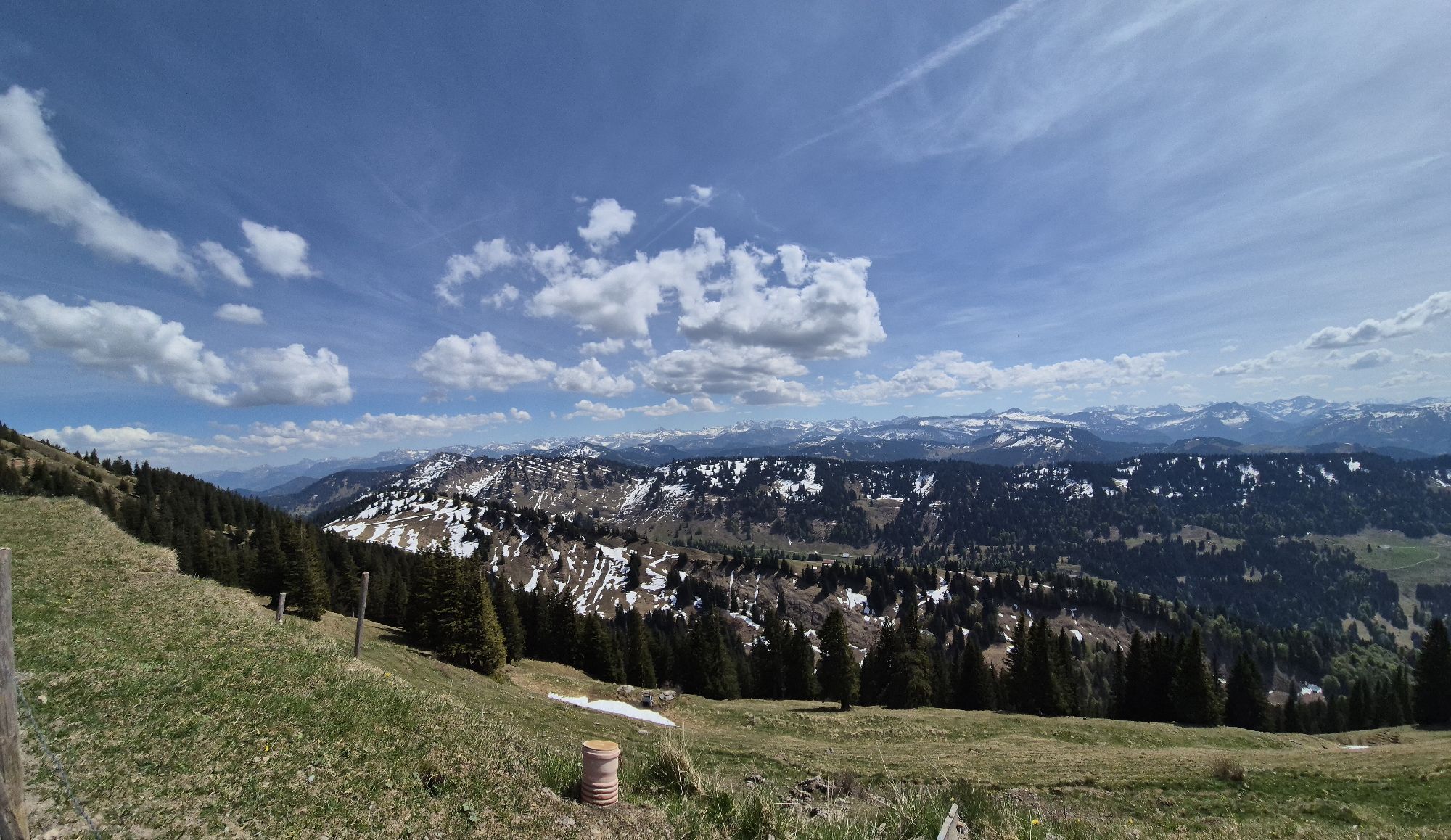
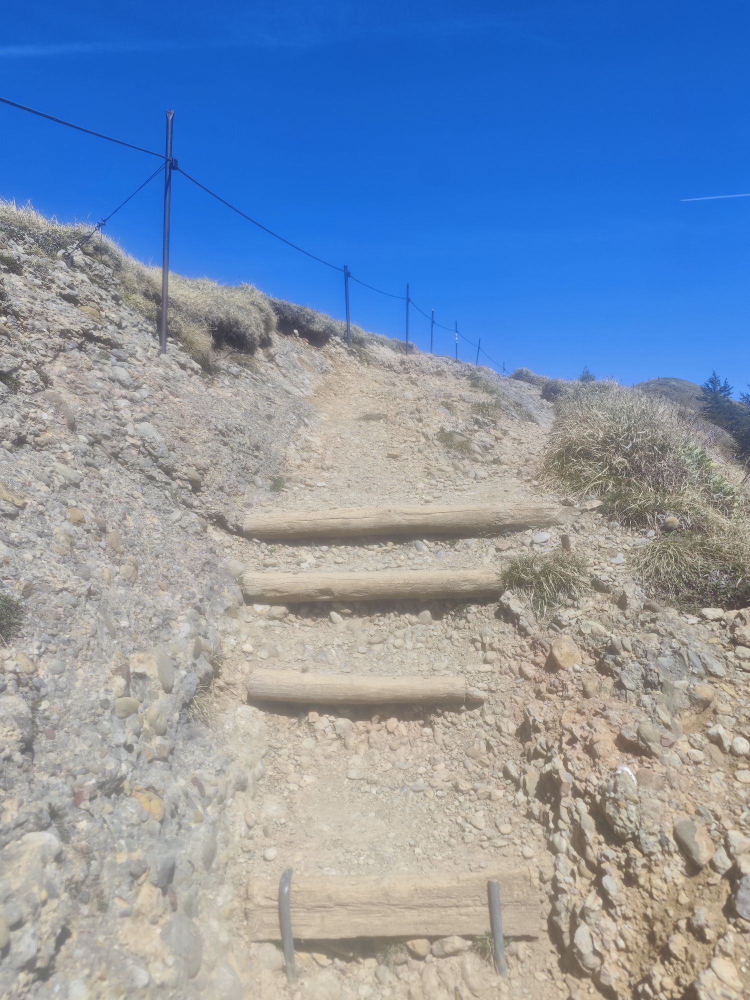
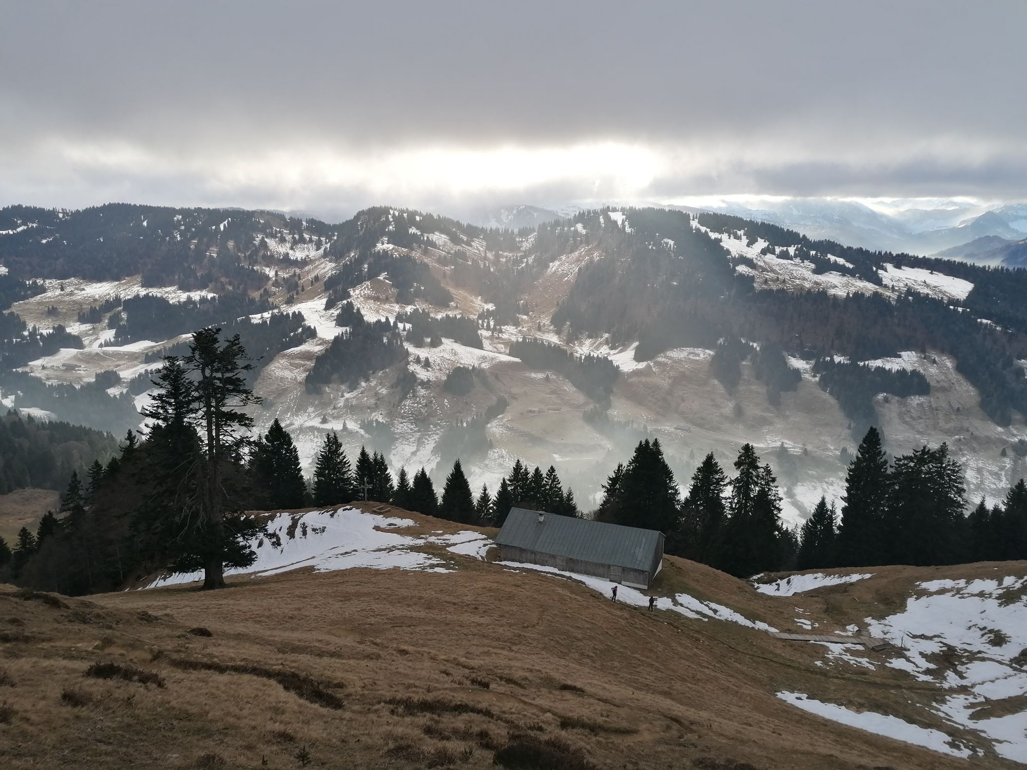
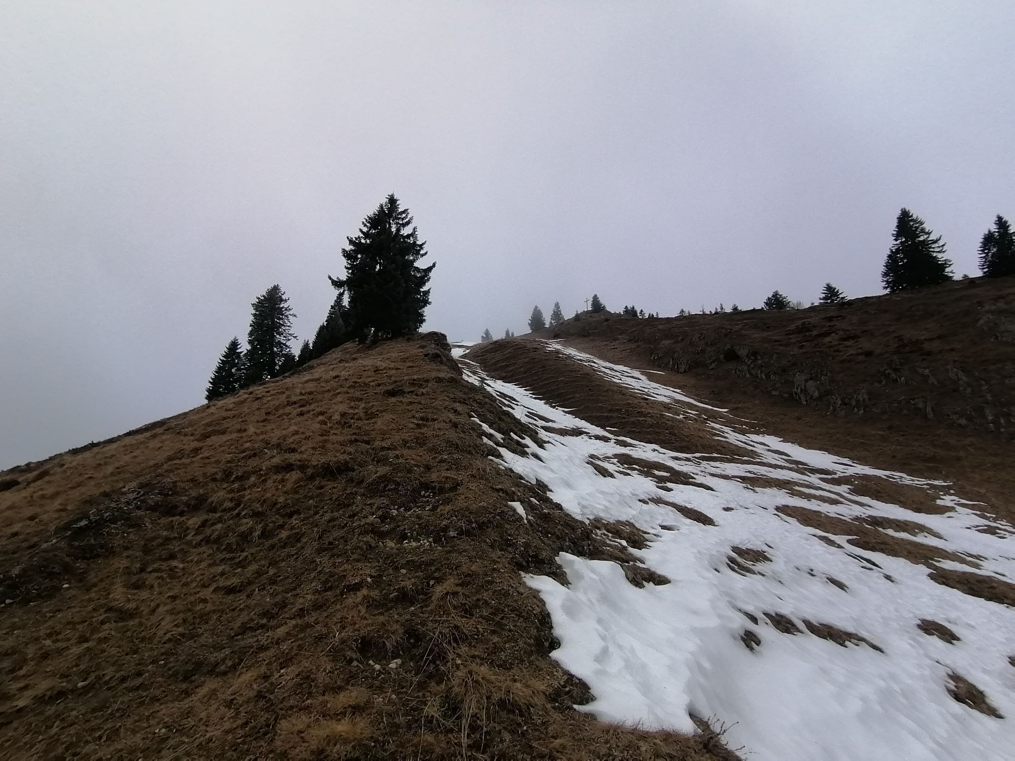
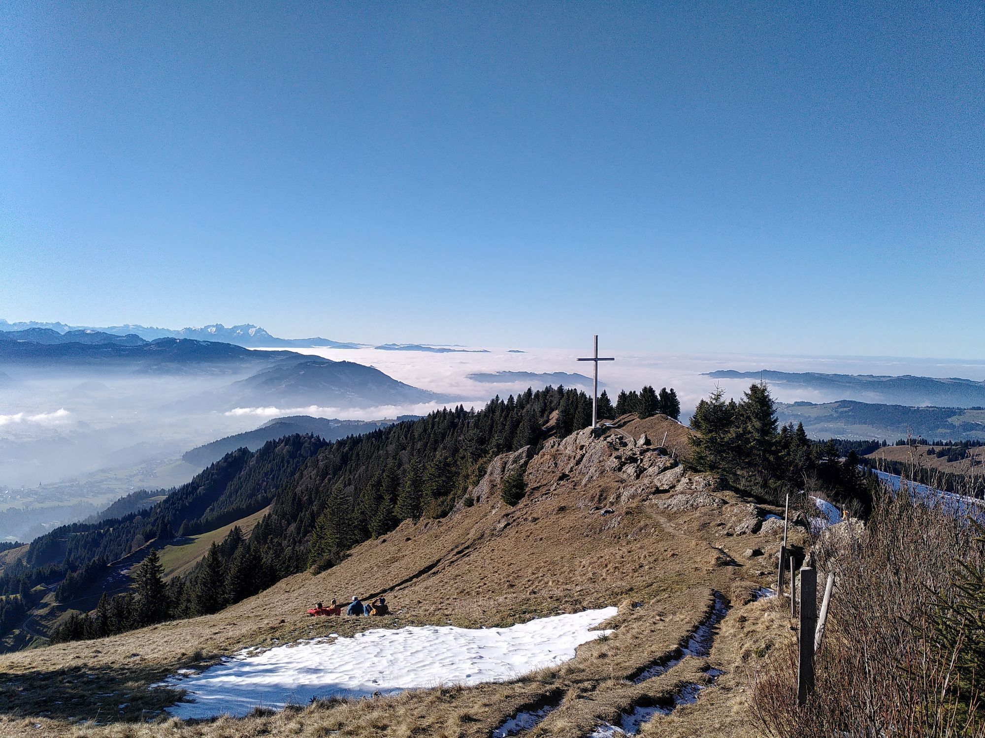
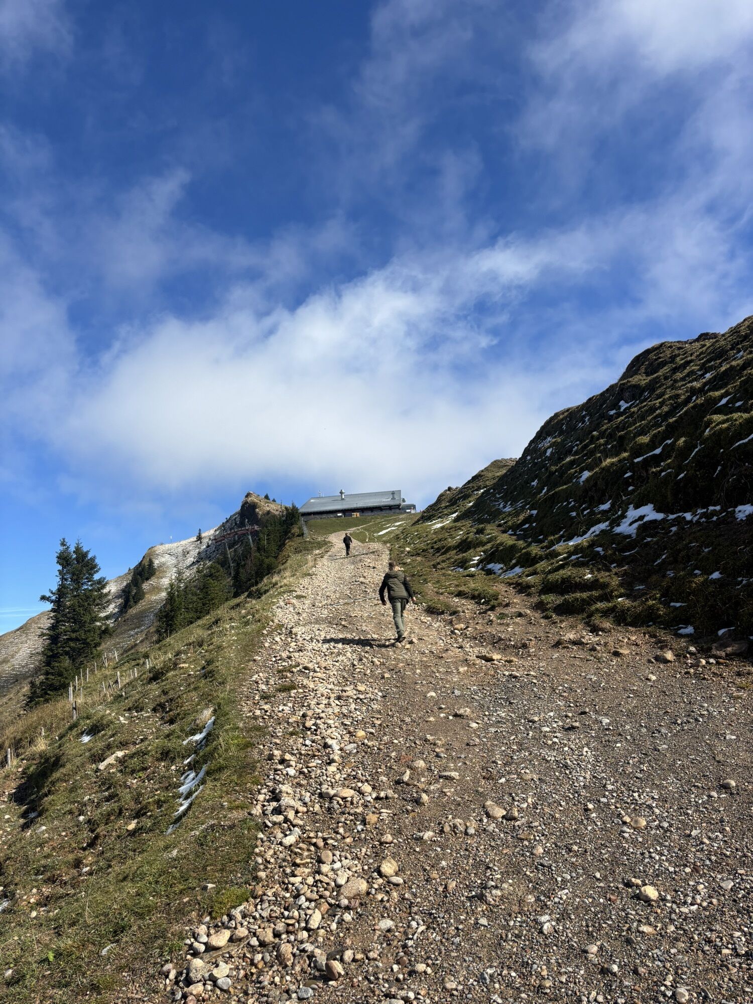
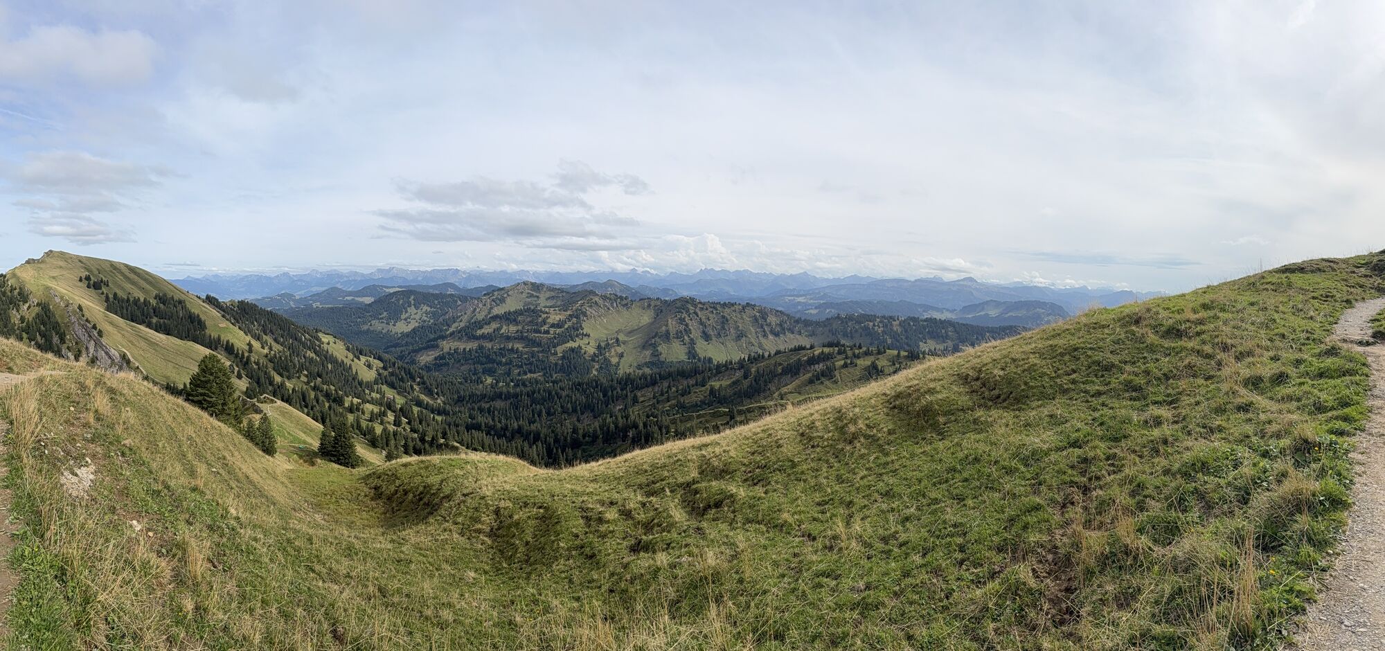
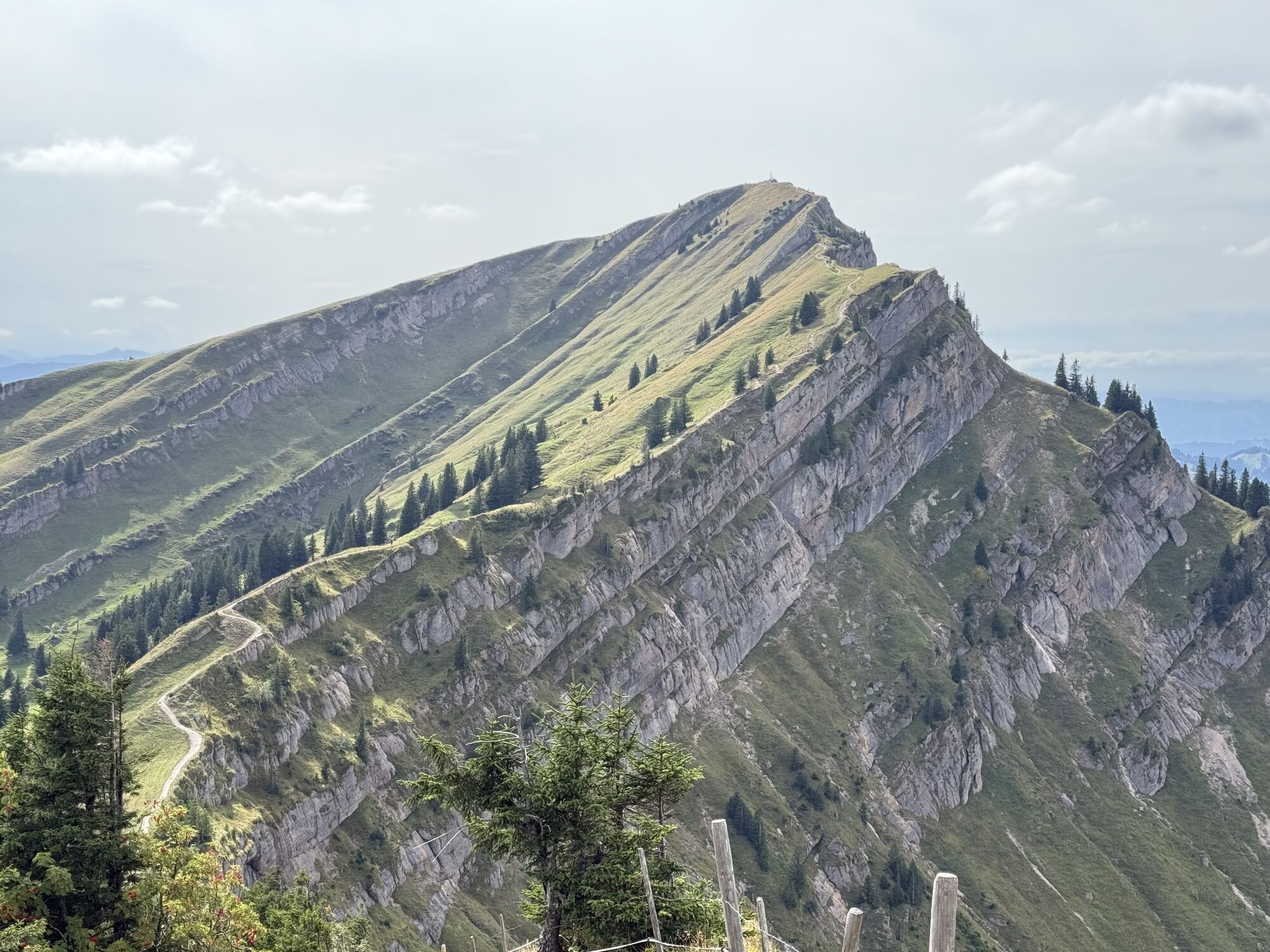
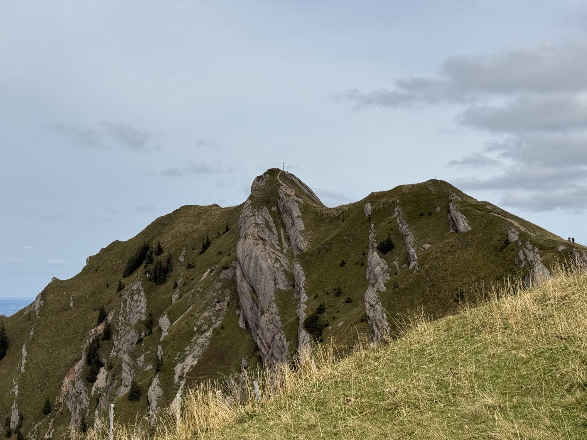
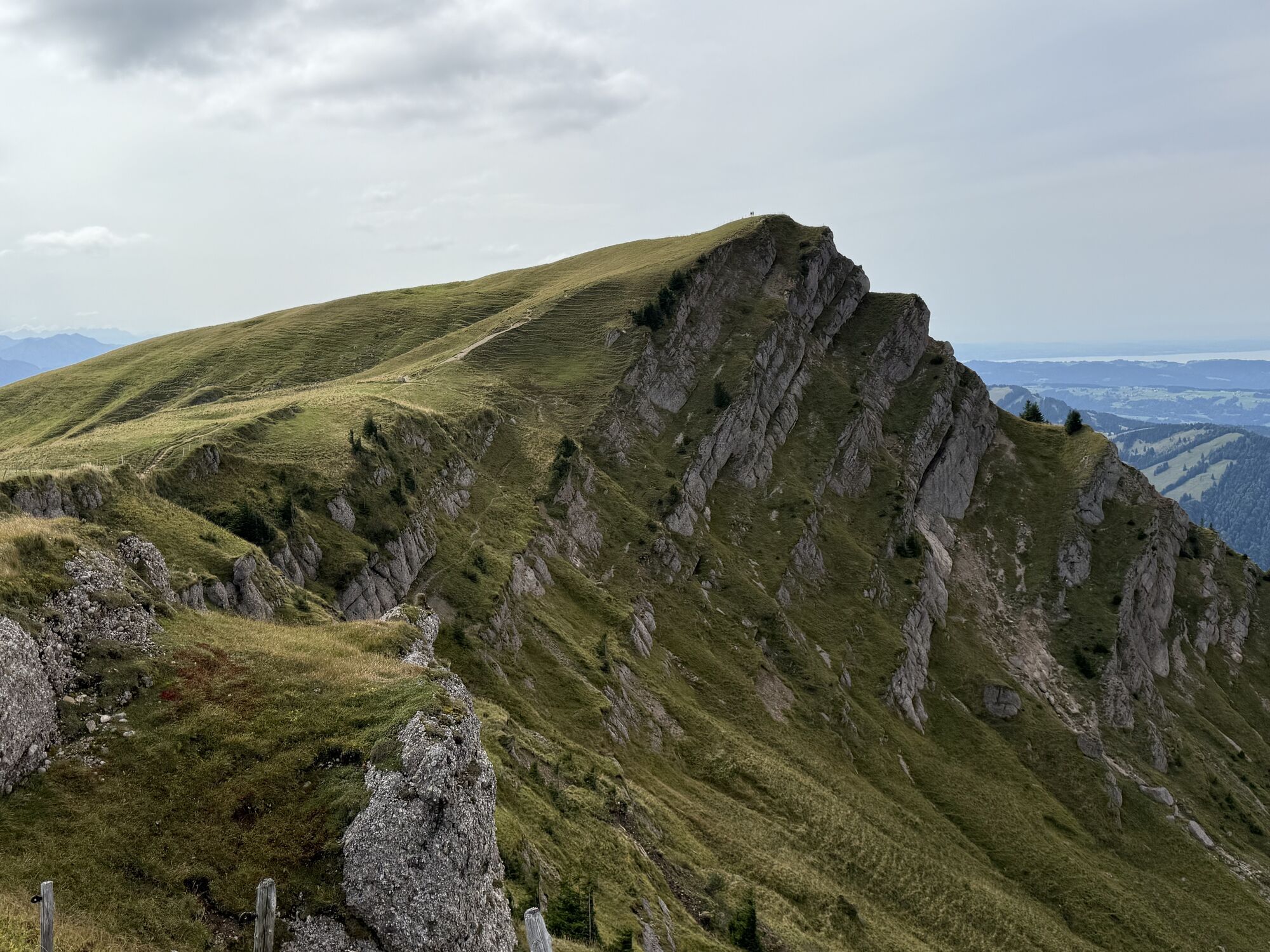
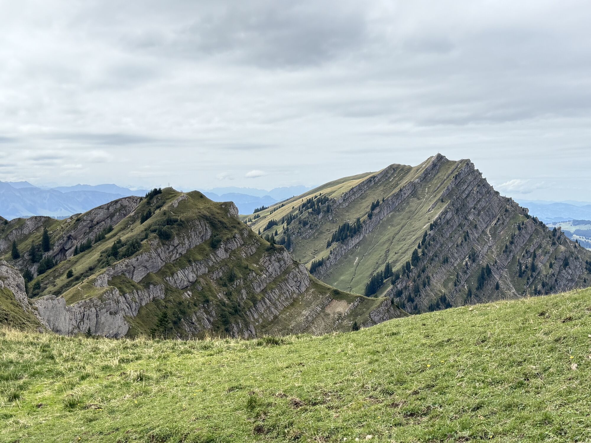
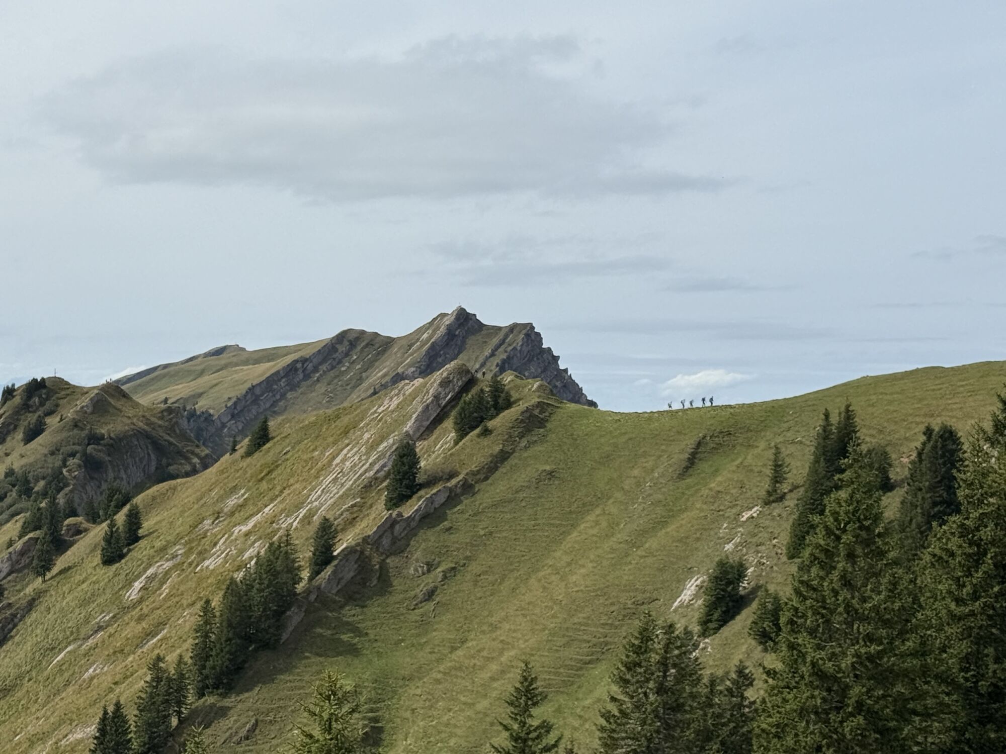
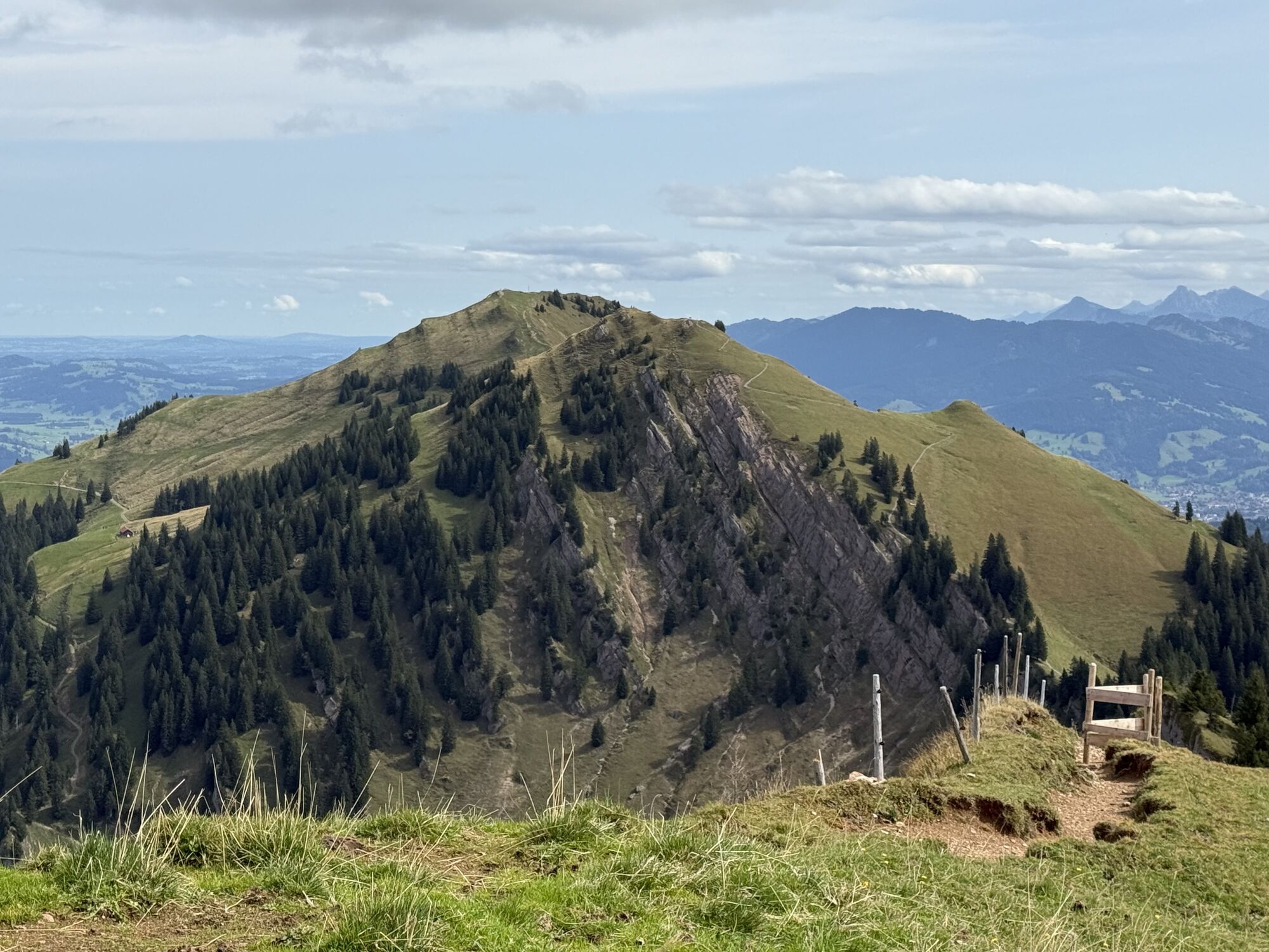
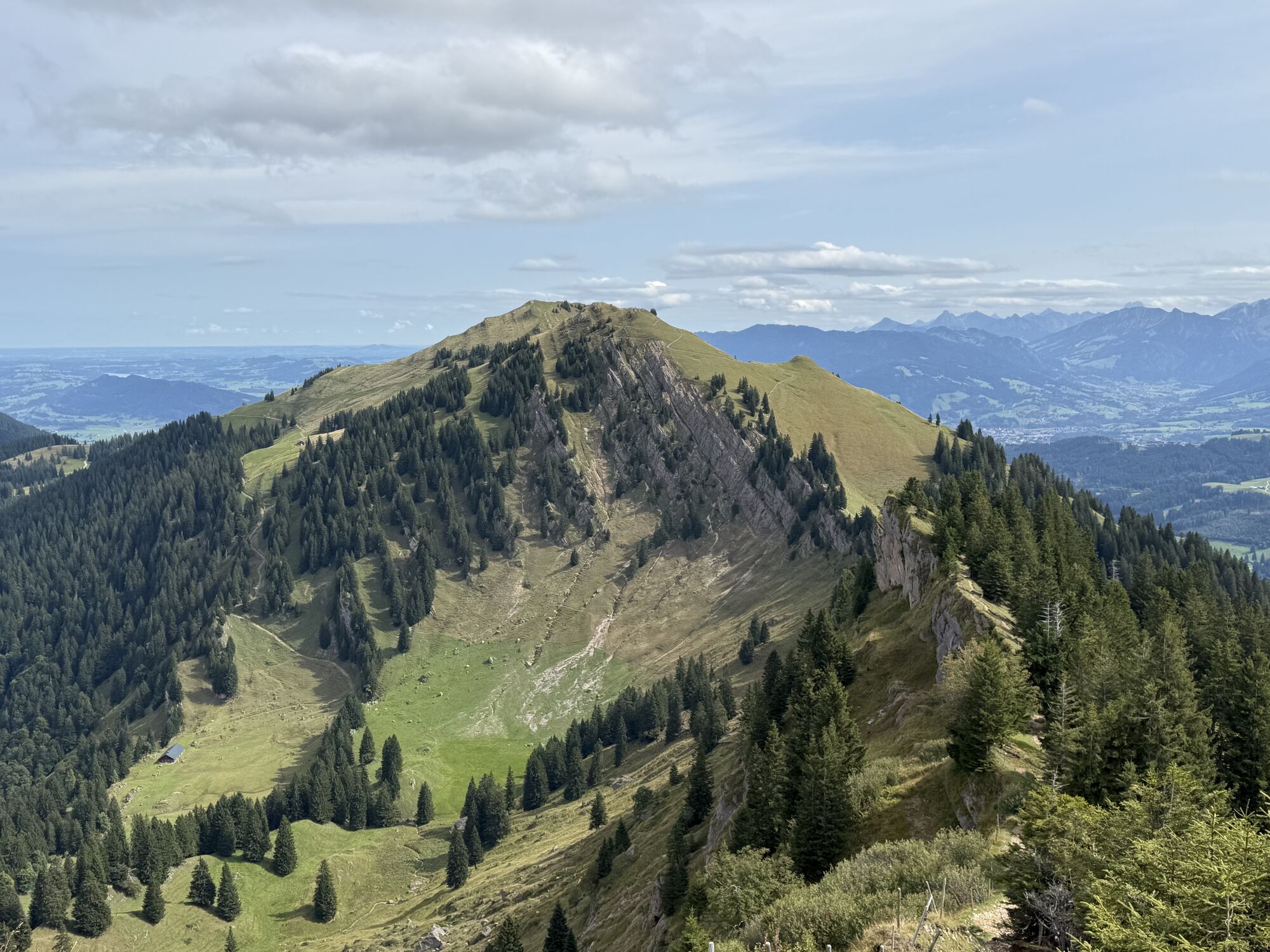
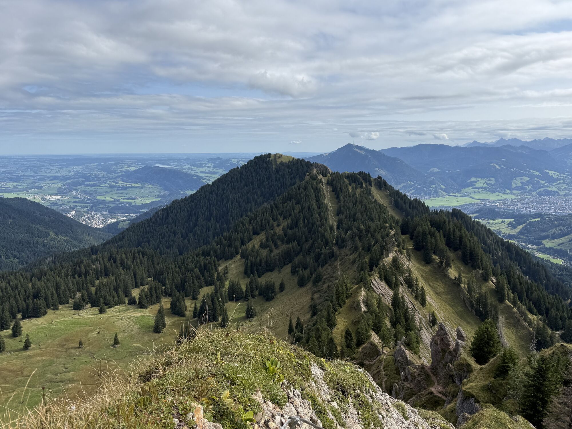
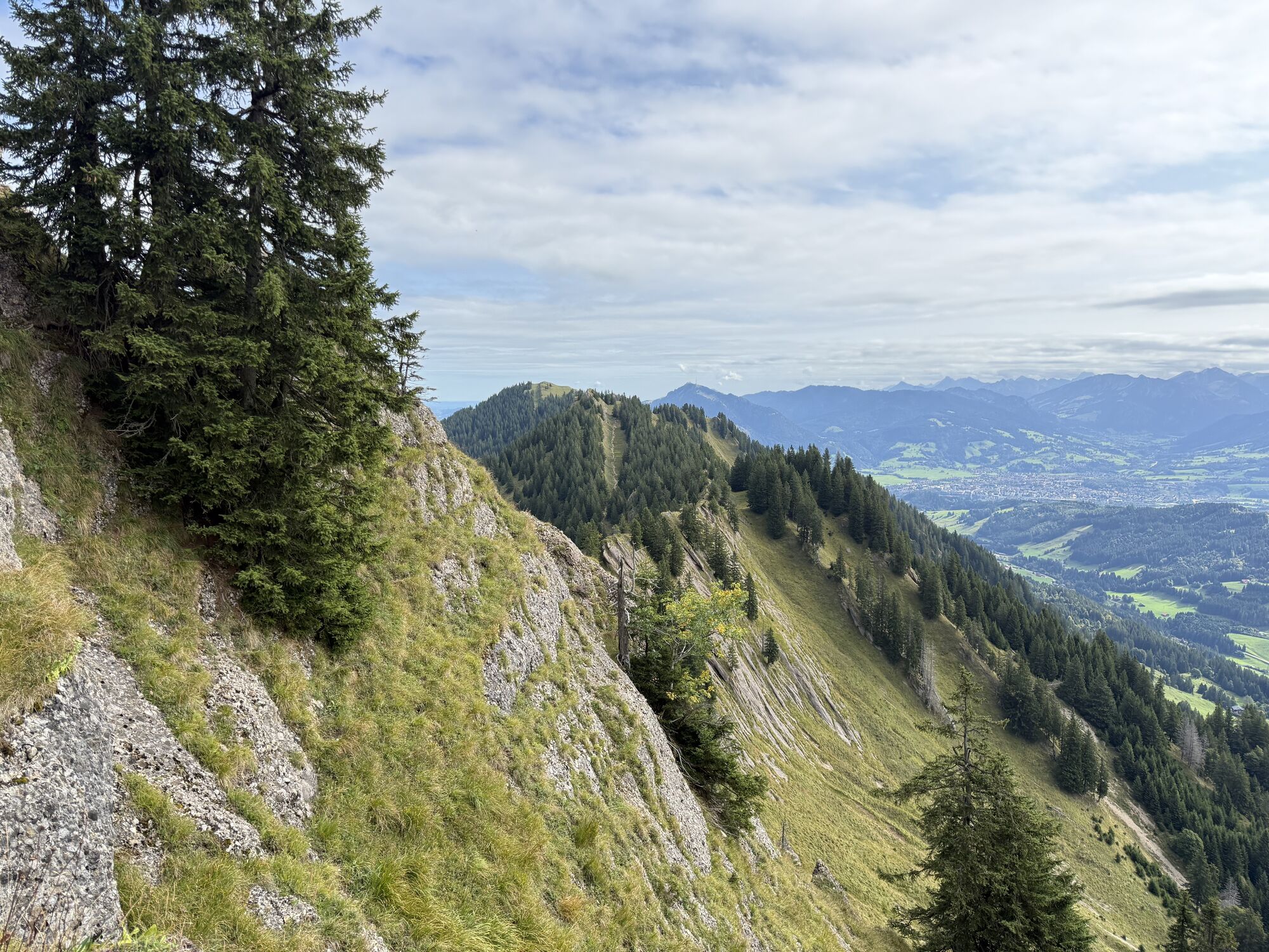
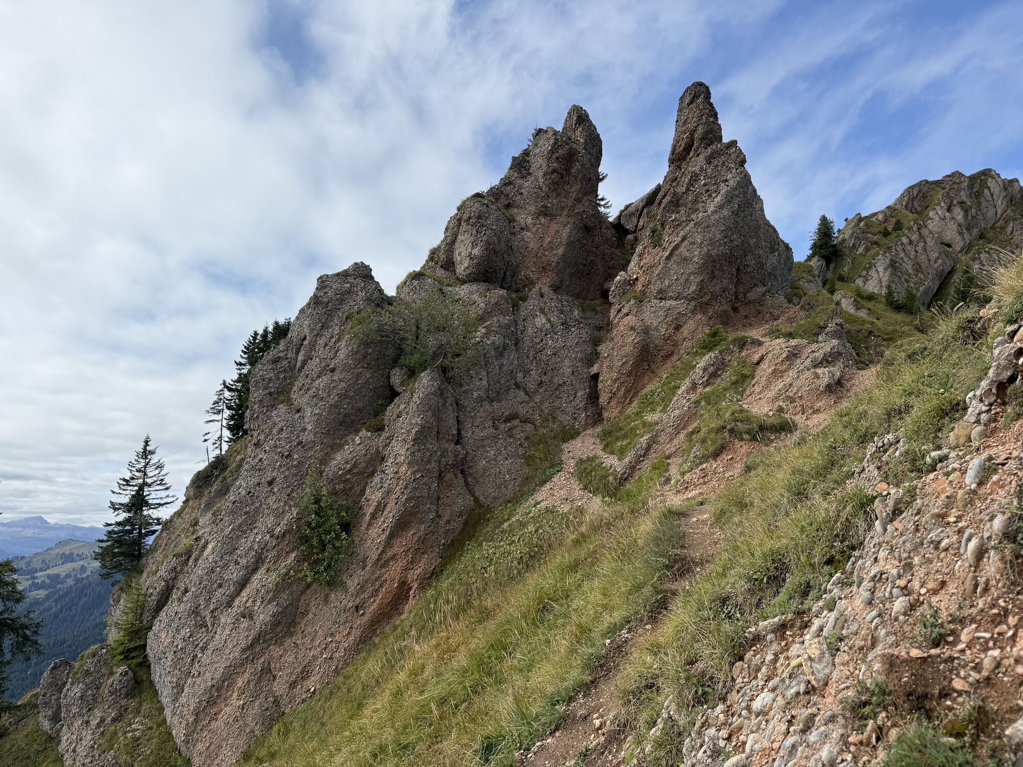
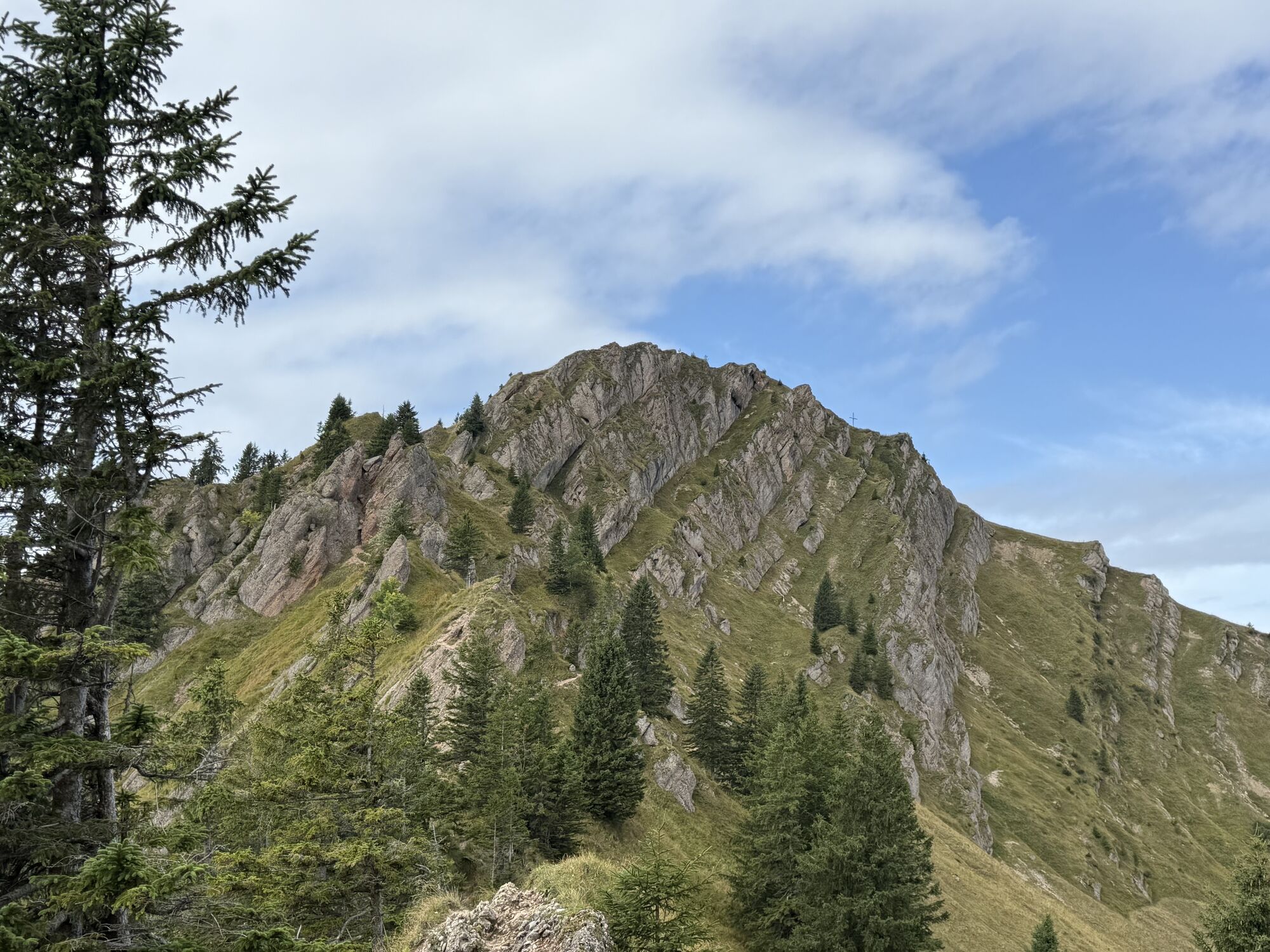
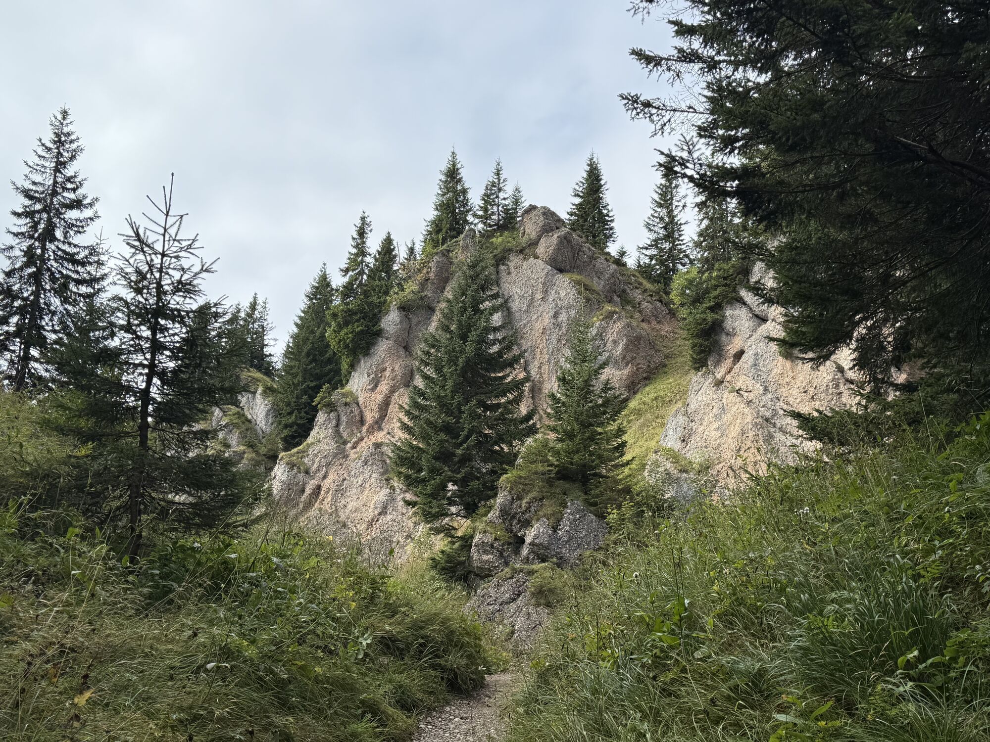
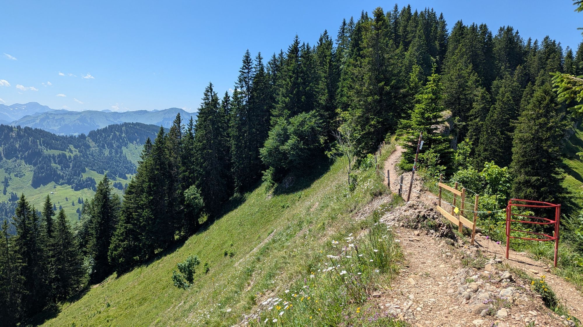
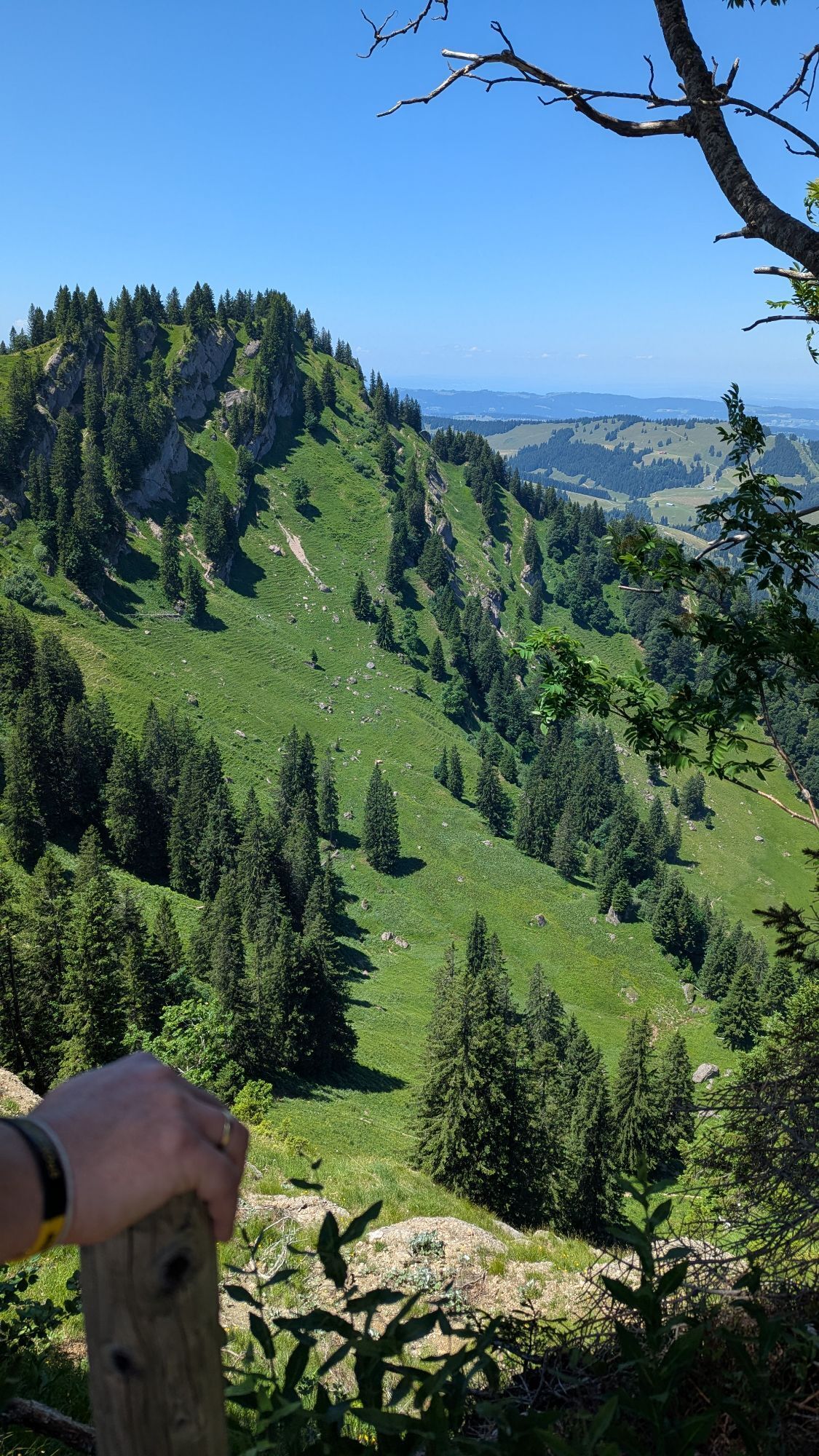
The next day, back over the Seifenmoos to the Sennalpe Mittelberg and further up to the Sedererstuiben. For those who want more, include the Stuibengipfel and proceed past the Alpe Gund in a loop coming from the east up to the ridge. The stretch along the ridge has no opportunities for refreshment stops, so be sure to carry enough provisions! The path leads variedly over Buralpkopf, Gündlekopf, Rindalphorn, and the Gelchenwanger ridge to the Hochgrat - requiring surefootedness and freedom from dizziness. Upon reaching the mountain station of the Hochgratbahn, we descend a few more meters to the second overnight at the Staufner Haus (Tel. 08386/8255), a DAV hut.
Day 3
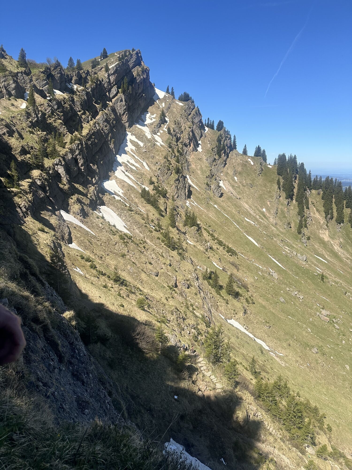
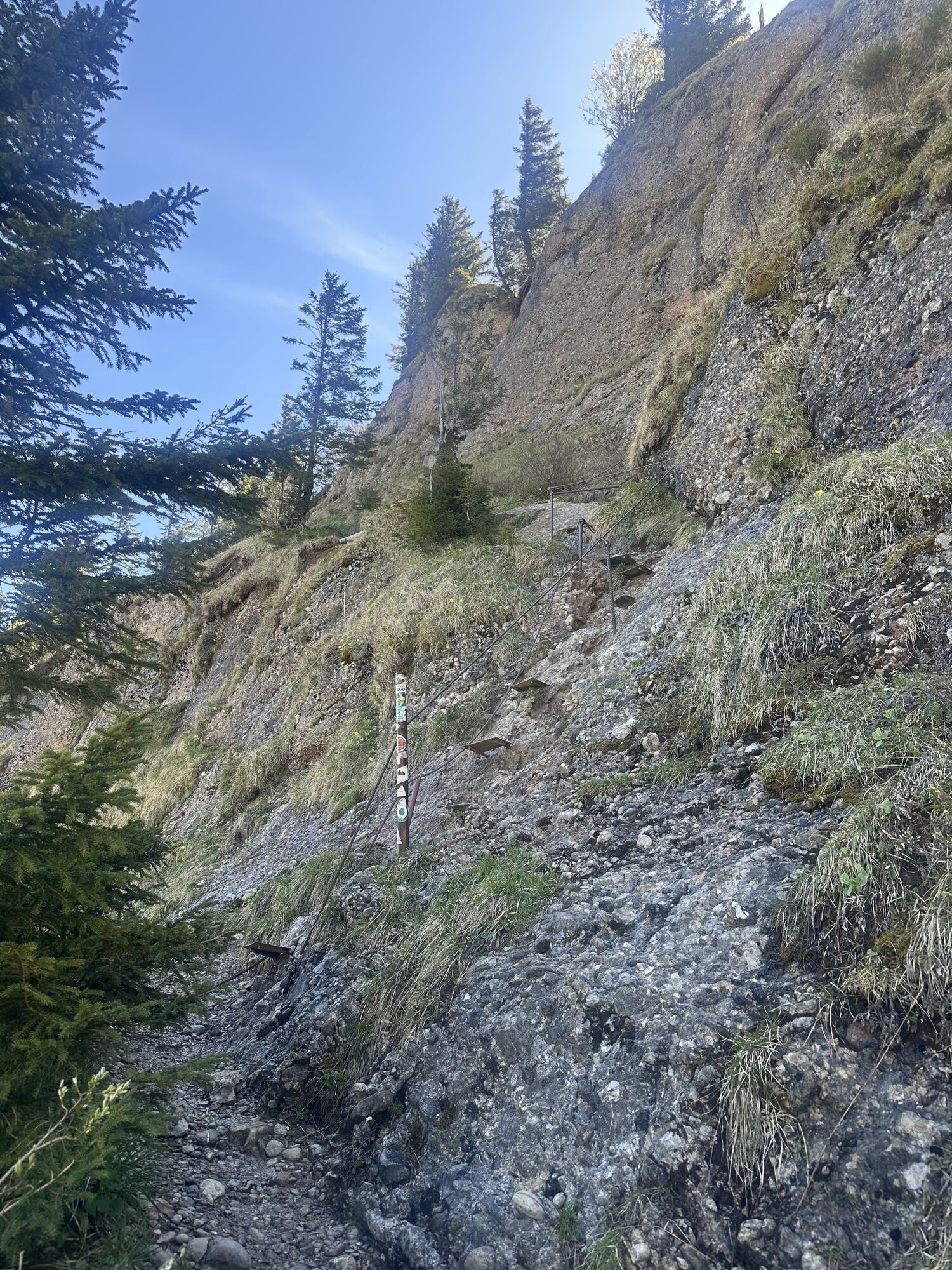
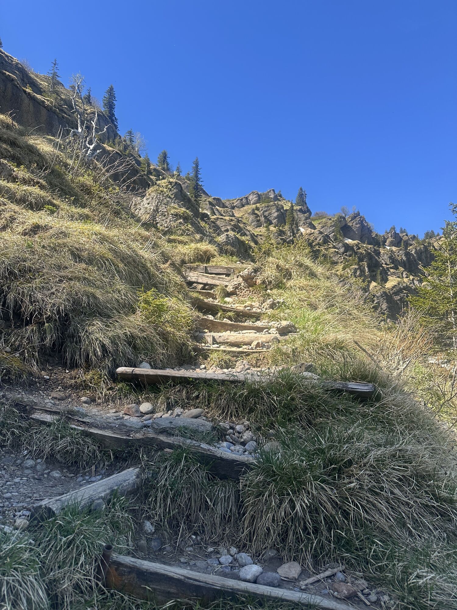
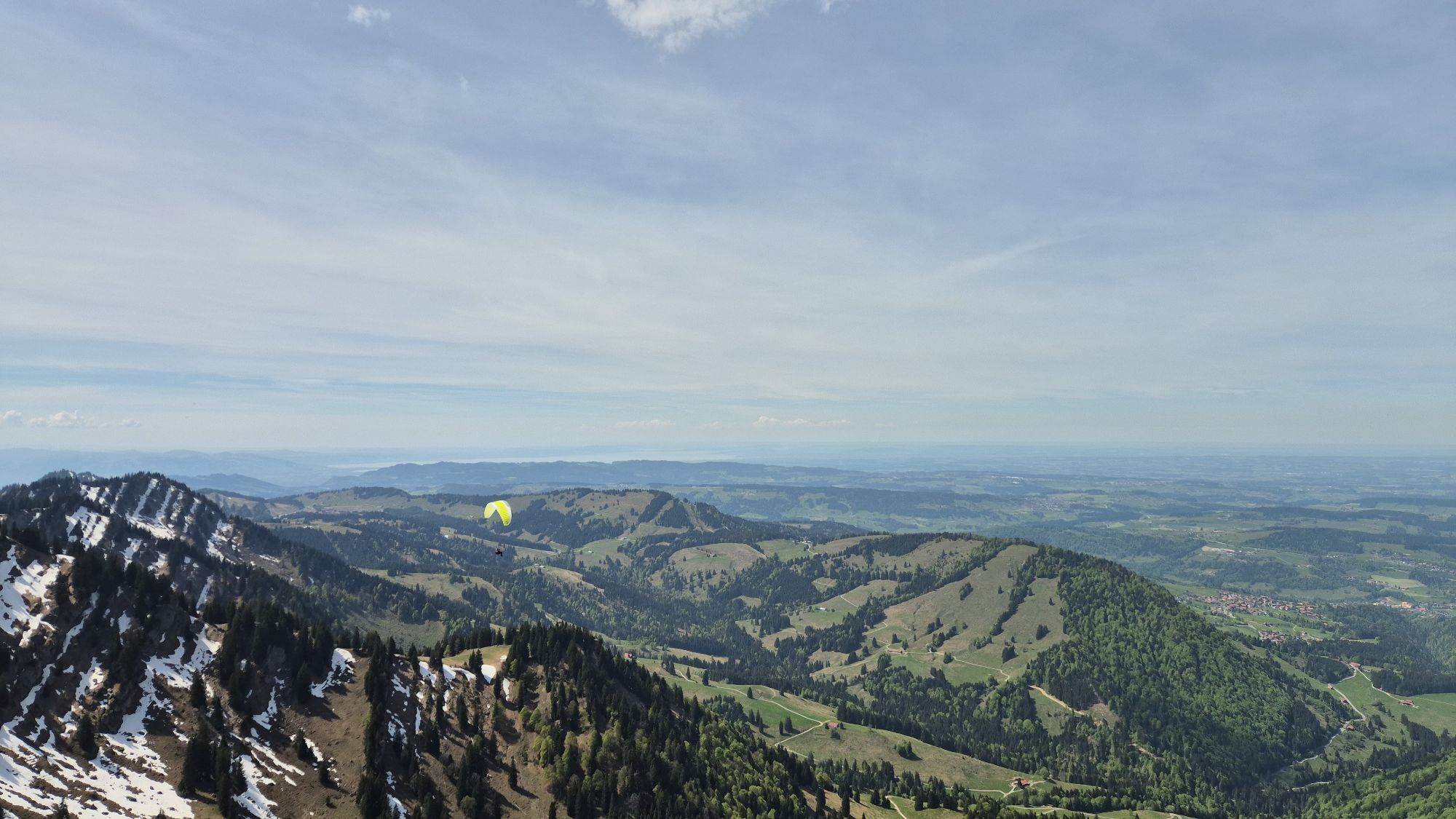
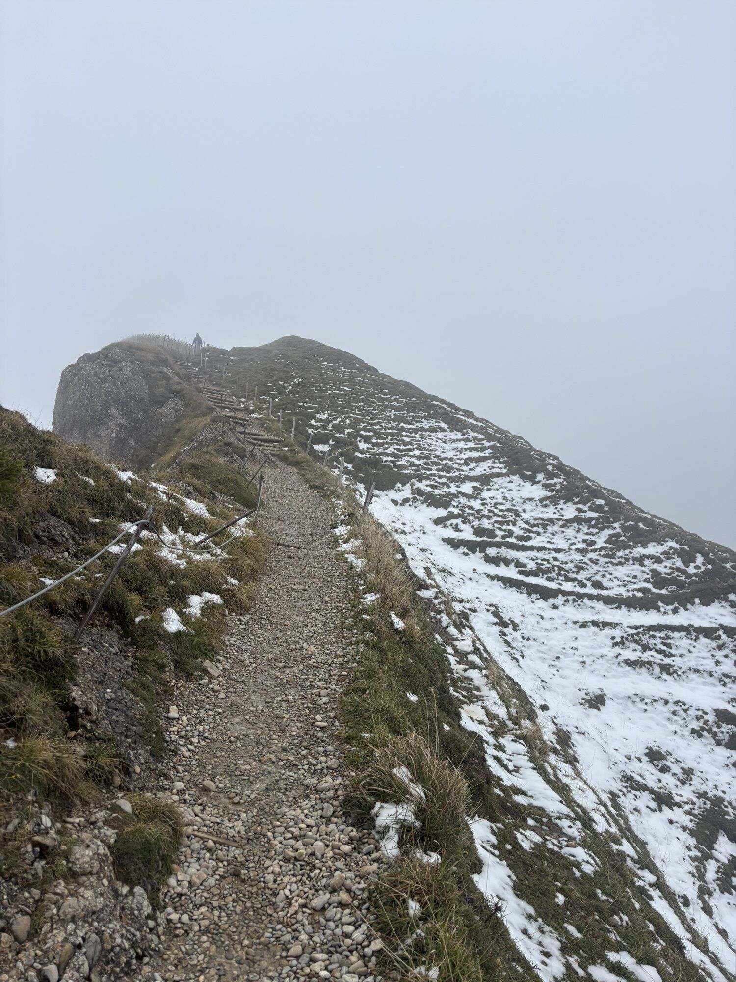
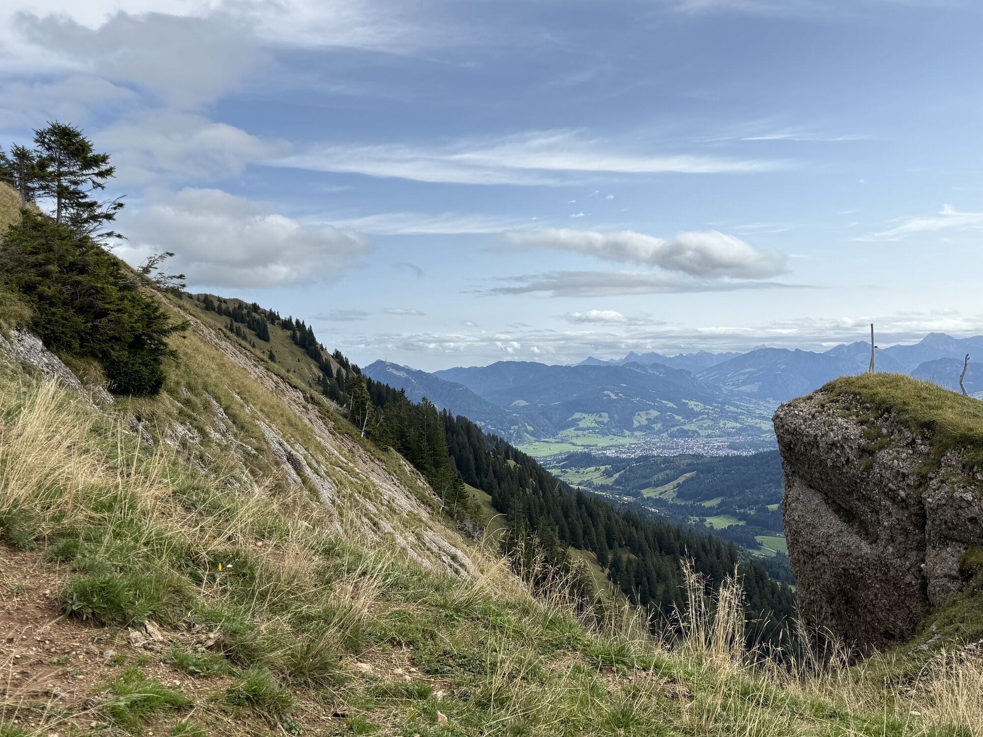
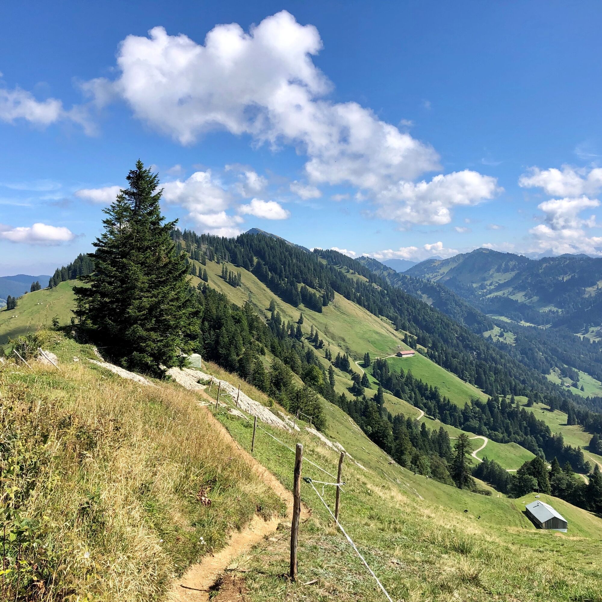
Day 3 initially leads back to the ridge and through the Porta Alpinae westward over Seelekopf, Hohenfluhalpkopf, Eineguntkopf, and the Falkenköpfe to the summit of Hoch Häderich. Especially the last section of the ridge is demanding and partly equipped with wire ropes. A climbing set is not necessarily required if you have alpine mountain experience. From Hoch Häderich, it goes down to the high plateau between Häderich and Imberg. We cross this, passing a few refreshment possibilities, and arrive at Imberg. From there, the final descent leads to Steibis. The guest bus then takes you back to Oberstaufen or to the Hochgratbahn.

Da
Sturdy hiking boots with good tread. Weatherproof clothing, provisions, hut sleeping bag.
Alpine mountain experience, surefootedness, freedom from dizziness, and hiking equipment suitable for the weather are prerequisites for this route. Especially on day 2, ensure sufficient provisions for the ridge. Stay on the marked paths.
Take the B308 to Oberstaufen and continue to the district of Steibis. There follow the signs to the Hochgratbahn.
Hochgratbahn valley station or in Oberstaufen and by bus to the starting point
Obtain weather information in advance
112 European emergency number or emergency app SOS-EU-ALP
Reserve accommodations early.
Parking at the Hochgrat or Imbergbahn stations. Continue by guest bus.
Spletne kamere s turneje
Alpenarena Hochhäderich
Hochgratbahn Bergstation
Oberstaufen
Oberstaufen - Biohotel Schratt
Oberstaufen - Biohotel Schratt
Segelclub Alpsee
Gschwendlift 1 Bergstation
Balderschwang - Schelpenbahn
Hittisau
Bergstation Ofterschwang
Talstation Ossi-Reichert Bahn
Segelclub Alpsee
Mittaggipfel
Balderschwang
Fluhexpress Berg
Fluhexpress Berg
Fluhexpress Berg
Fluhexpress Berg
Fluhexpress Berg
Alpe Hohenschwand
Oberstaufen
Oberstaufen
Oberstaufen
Oberstaufen
Oberstaufen
Alpe Birkach
Oberstaufen
Oberstaufen - Rosenalp
Fluhexpress Bergstation
Hündlebahn Bergstation
Imberghaus
Oberstaufen
Balderschwang - Siplinger Suites
Ofterschwang - Allgäuer Berghof
Sibratsgfäll
Schelpenalp Talstation
Blaichach - Gunzesried
Alpsee Bergwelt
Alpsee Bergwelt
Alpsee Bergwelt - Bärenfalle
Priljubljeni izleti v okolici
- 4.5
Hittisau | Wasserwanderweg
svetlobaTematska pot 7 km - 4.6
Steibis - Buchenegger Waterfalls
srednjaPohodništvo 6.47 km - 5.0
Nagelfluh ridge route Hochgrat - Mittag
težkoPohodništvo 14.0 km - 4.6
Rindalphorn und Hochgrat
srednjaPohodništvo 15.6 km - 5.0
Siedelalpe Runde von See - Immenstadt
svetlobaPohodništvo 10.3 km - 4.5
Immenstädter Horn - Gschwender Horn
svetlobaPohodništvo 10 km - 3.8
Hörner Panoramatour
srednjaPohodništvo 17.3 km - 5.0
HörnerPanoramaTour
svetlobaPohodništvo 5.34 km - 3.5
Rundtour Mittag
svetlobaPohodništvo 15.7 km - 4.4
Grasgehren - Riedberger Horn - Berghütte Grasgehren
svetlobaPohodništvo 4.51 km
Pohodništvo in sledenje


Ne zamudite ponudb in navdiha za naslednje počitnice
Vaš e-poštni naslov je bil dodan na poštni seznam.