


From Spitzingsee to the Jägerkamp
Stopnja težavnosti: F


Fotografije naših uporabnikov
-
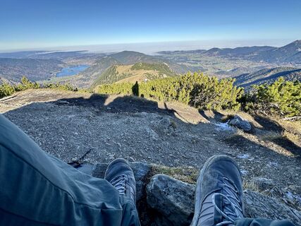
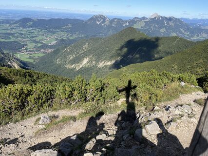
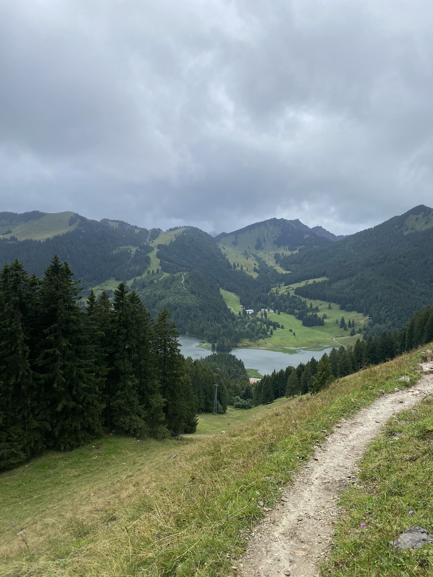
 © justasimpleguyUstvarjeno na 07.11.2025
 -
 © justasimpleguyUstvarjeno na 07.11.2025
 -
 © justasimpleguyUstvarjeno na 07.11.2025
 -
 © justasimpleguyUstvarjeno na 07.11.2025
 -
 © justasimpleguyUstvarjeno na 07.11.2025
 -
 © justasimpleguyUstvarjeno na 07.11.2025
 -
 © justasimpleguyUstvarjeno na 07.11.2025
 -

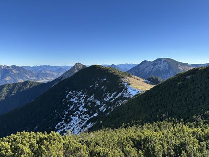
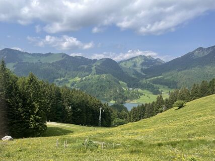
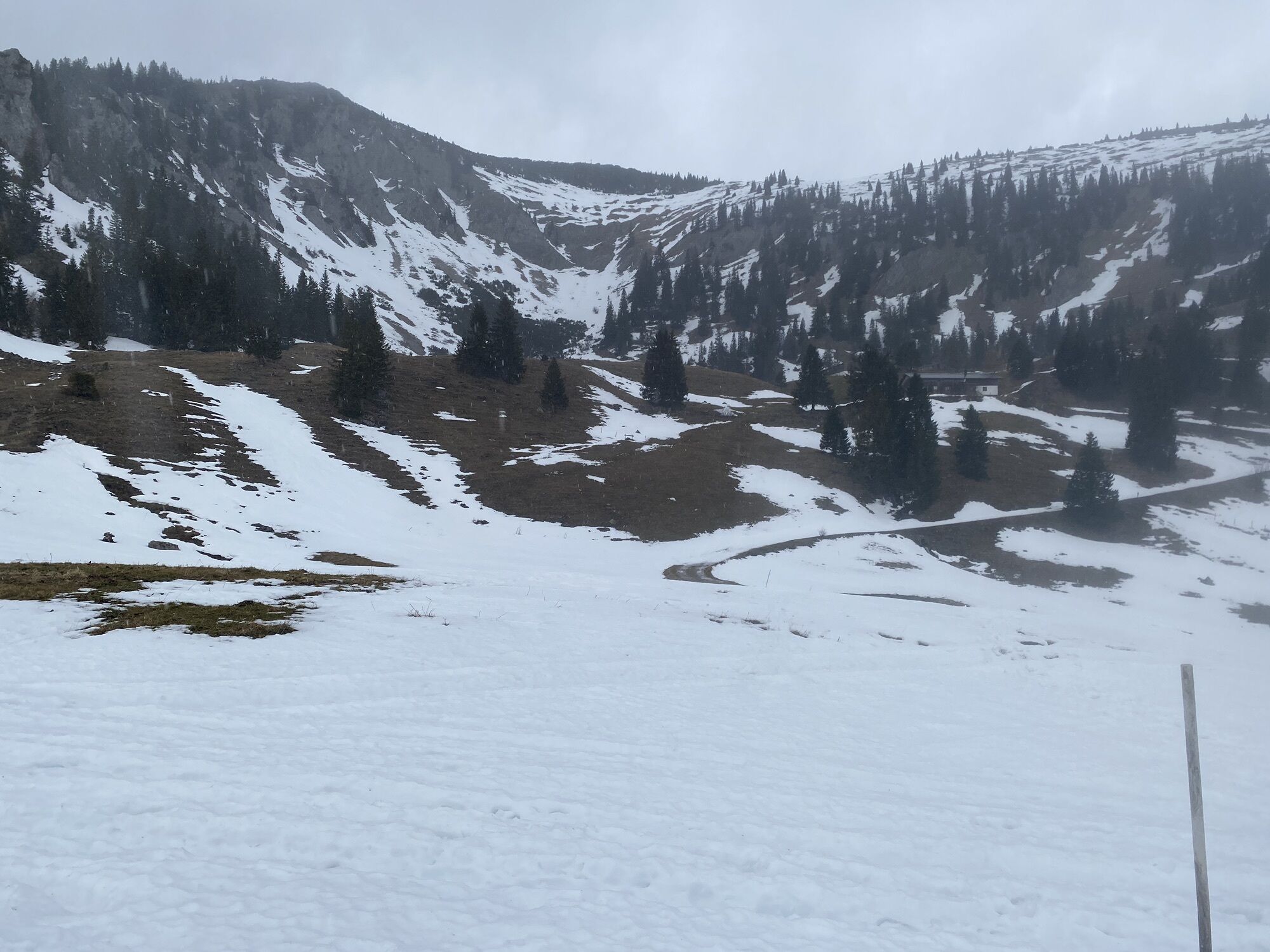
 © Eva OppermannUstvarjeno na 19.09.2025
 -
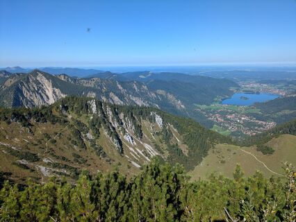 © Eva OppermannUstvarjeno na 19.09.2025
 -
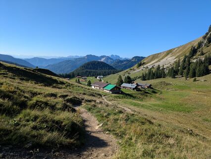
 © Eva OppermannUstvarjeno na 19.09.2025
 -
 © Eva OppermannUstvarjeno na 19.09.2025
 -
 © Eva OppermannUstvarjeno na 19.09.2025
 -
 © Eva OppermannUstvarjeno na 19.09.2025
 -
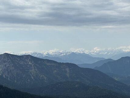
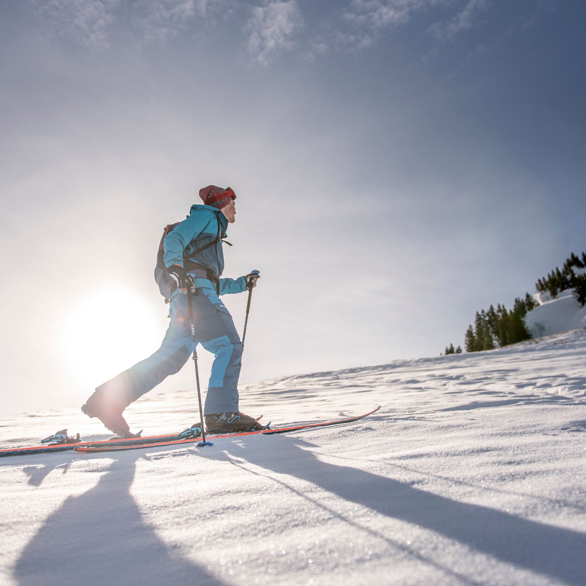
 © Tine HarthUstvarjeno na 31.08.2025
 -
 © Tine HarthUstvarjeno na 31.08.2025
 -

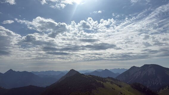
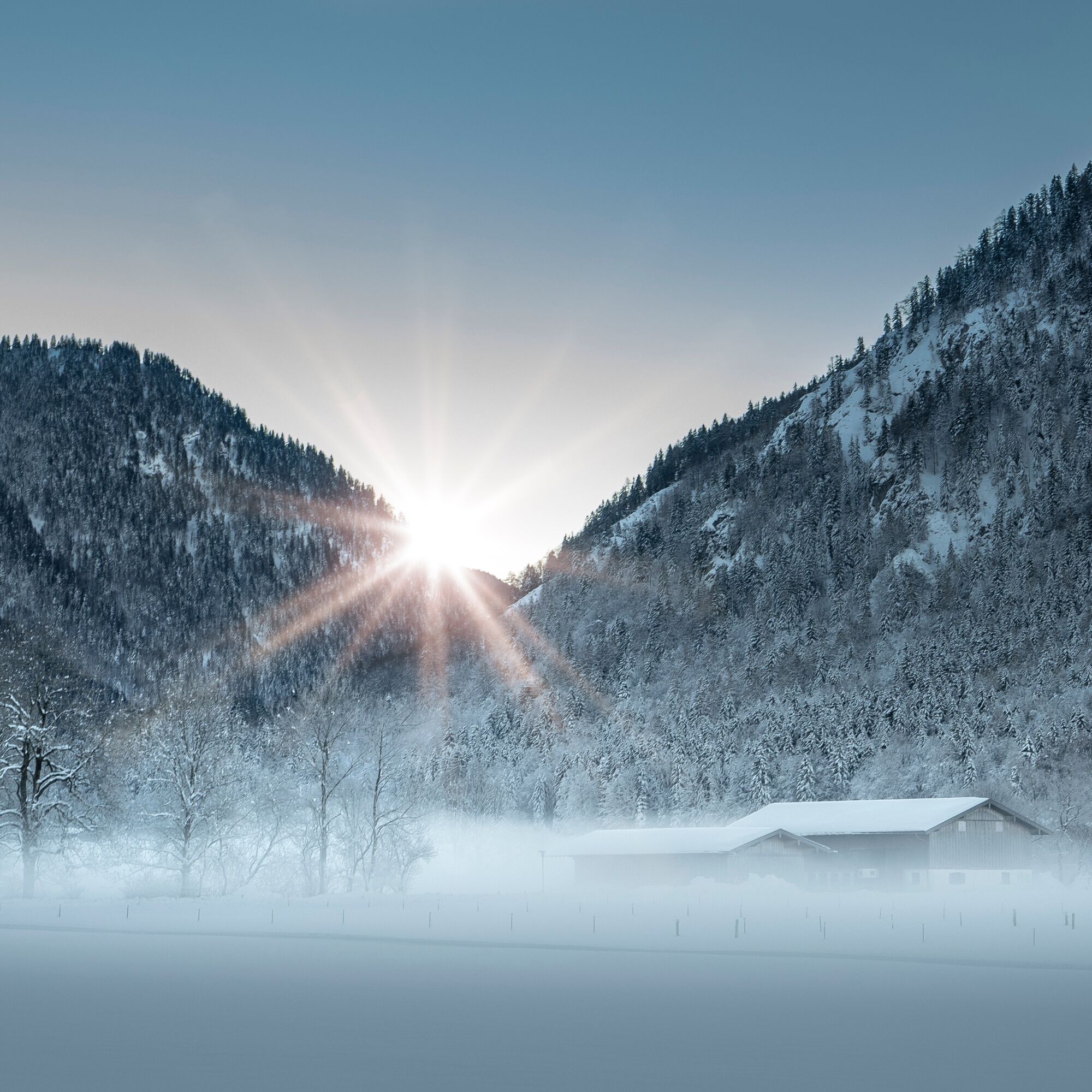
 © Martin Weiss 3Ustvarjeno na 09.06.2025
 -
 © Martin Weiss 3Ustvarjeno na 09.06.2025
 -
 © Markus WältlUstvarjeno na 01.06.2025
 -
 © Markus WältlUstvarjeno na 01.06.2025
 -
 © Markus WältlUstvarjeno na 01.06.2025
 -
 © se_muckUstvarjeno na 20.05.2024
 -
 © se_muckUstvarjeno na 20.05.2024
 -
 © se_muckUstvarjeno na 20.05.2024
 -
 © se_muckUstvarjeno na 20.05.2024
 -
 © se_muckUstvarjeno na 20.05.2024
 -
 © se_muckUstvarjeno na 20.05.2024
 -
 © se_muckUstvarjeno na 20.05.2024
 -
 © se_muckUstvarjeno na 20.05.2024
 -
 © se_muckUstvarjeno na 20.05.2024
 -
 © Sven KrieblinUstvarjeno na 01.10.2023
 -
 © Sven KrieblinUstvarjeno na 06.08.2023
 -
 © Michael BAUER 14Ustvarjeno na 19.02.2023
 -
 © Michael BAUER 14Ustvarjeno na 19.02.2023


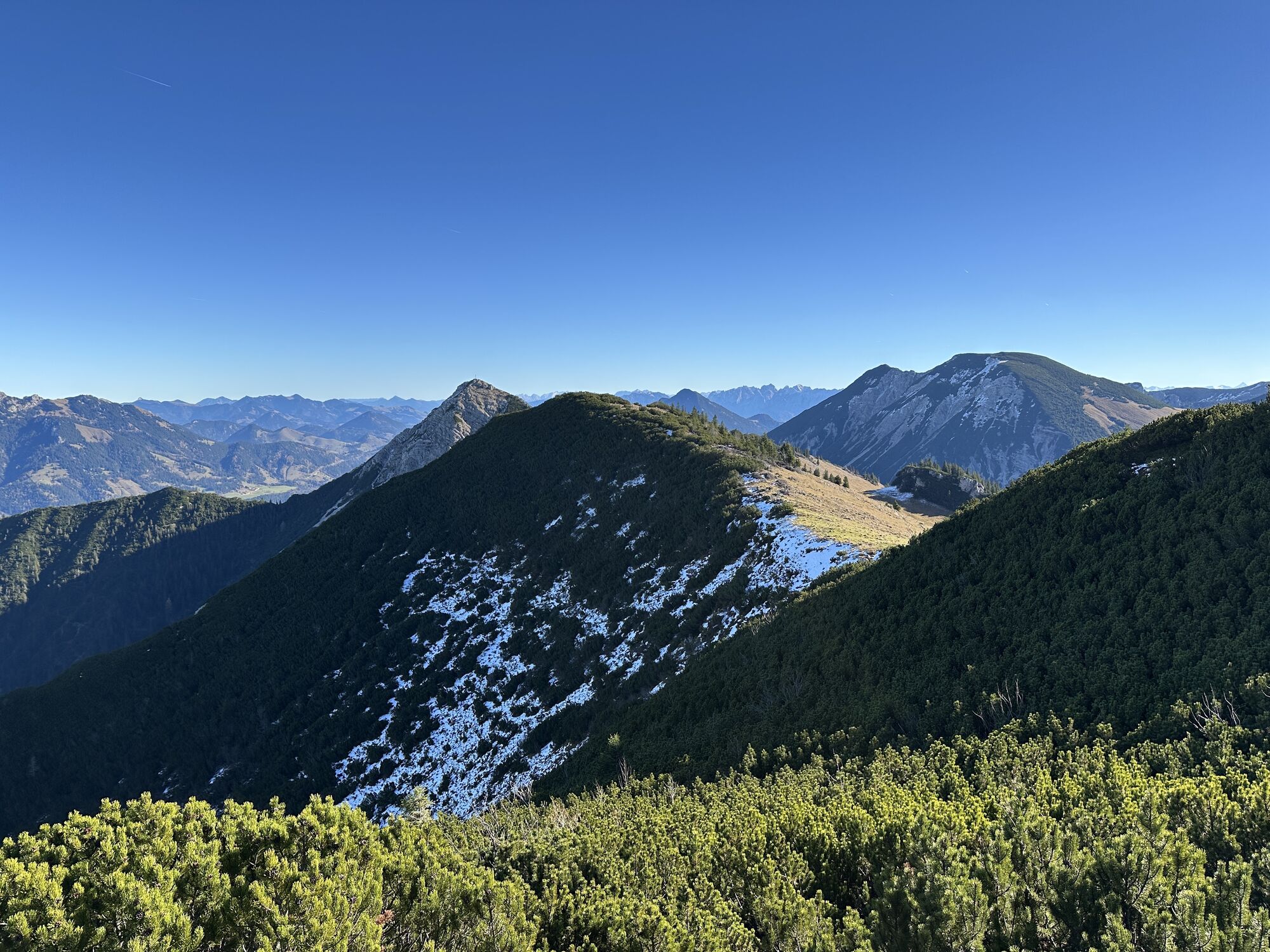

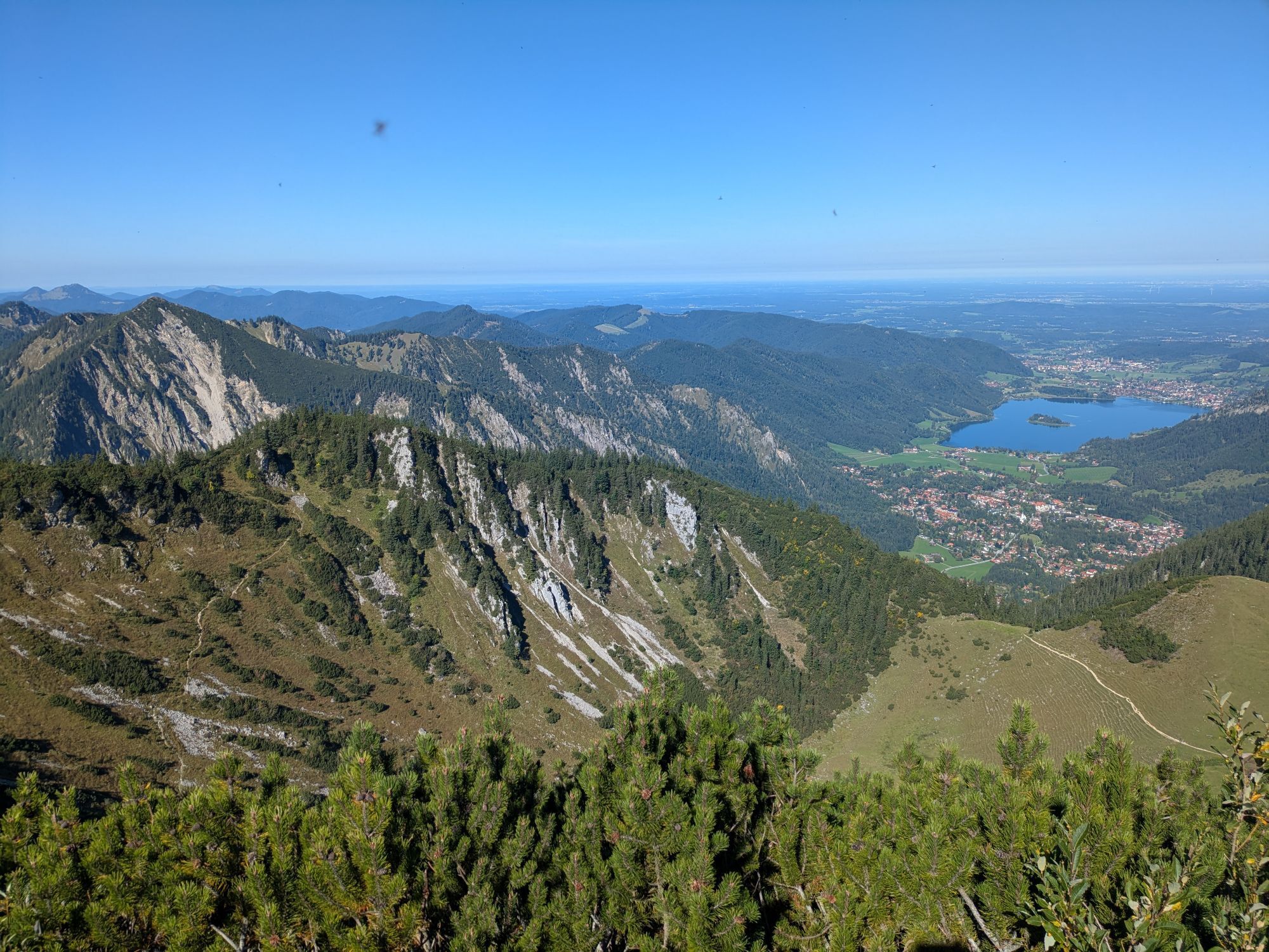
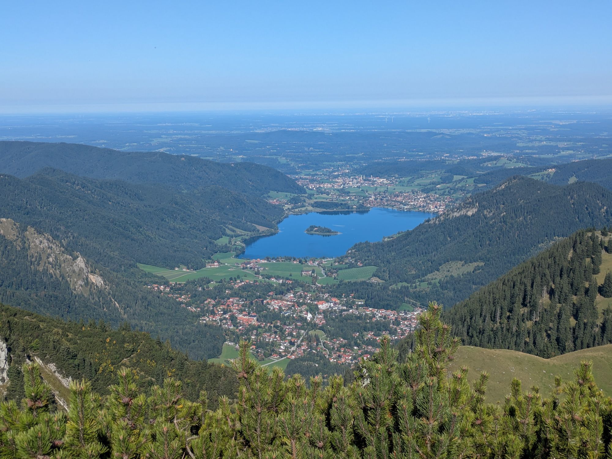
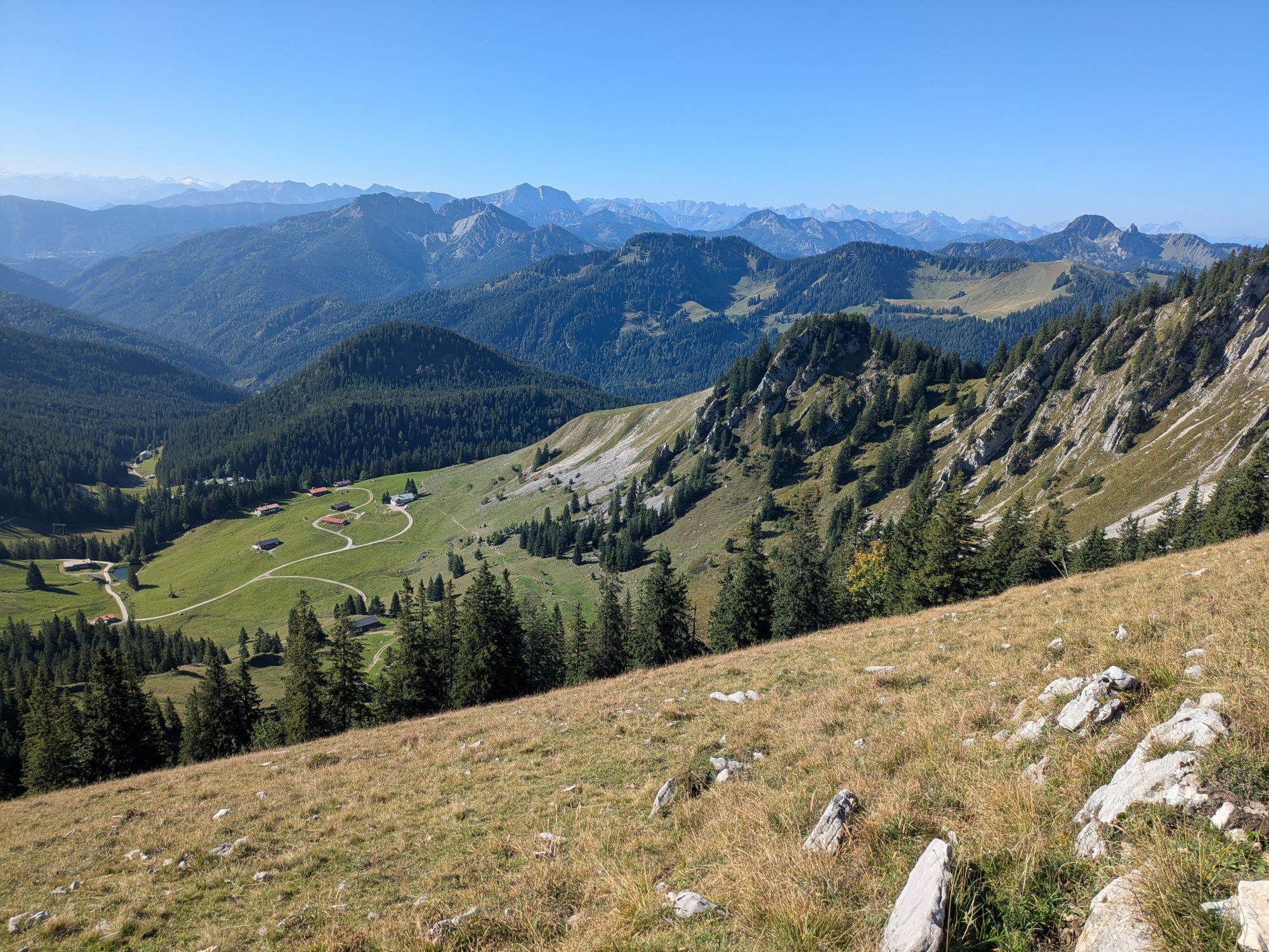
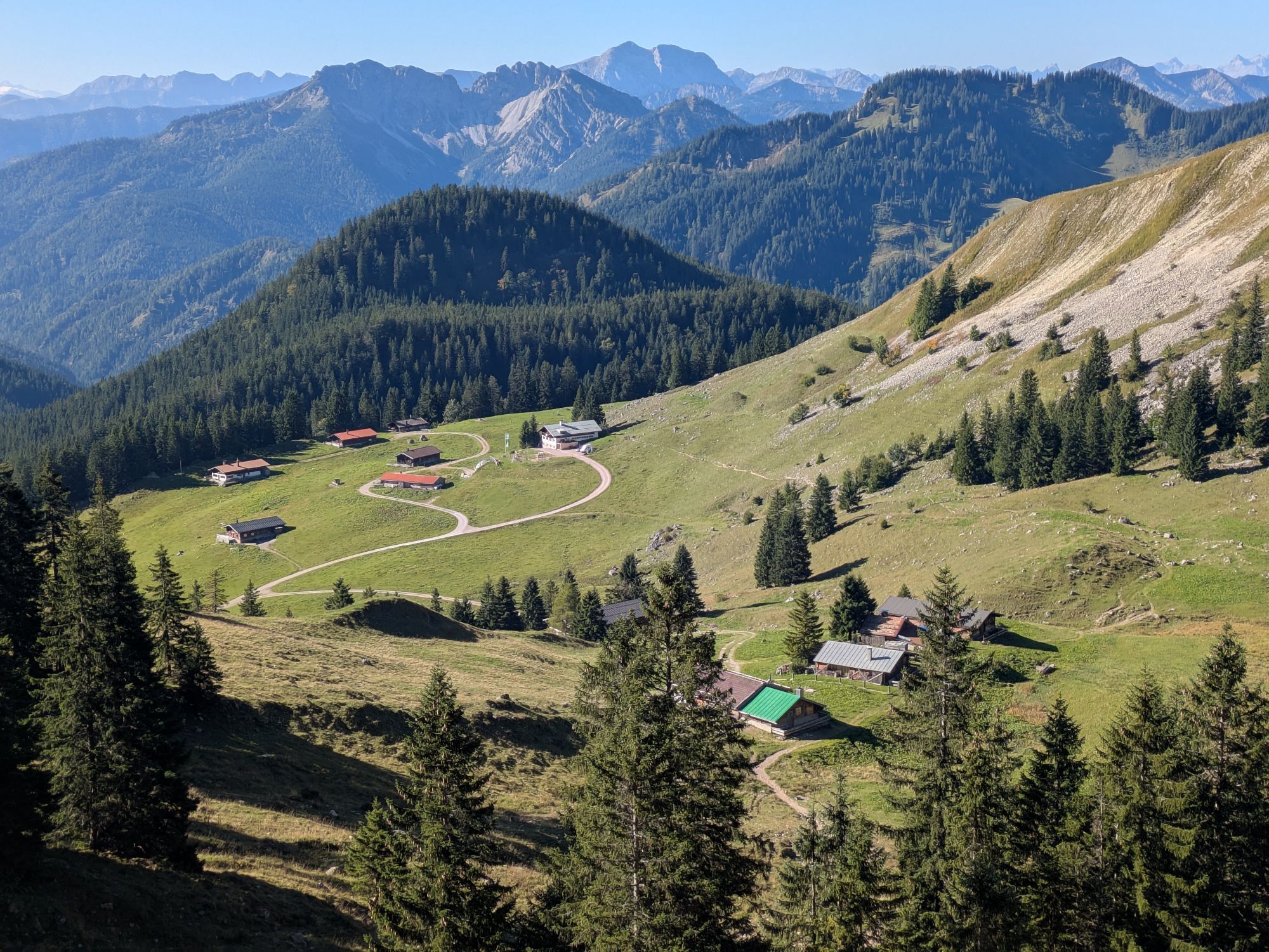


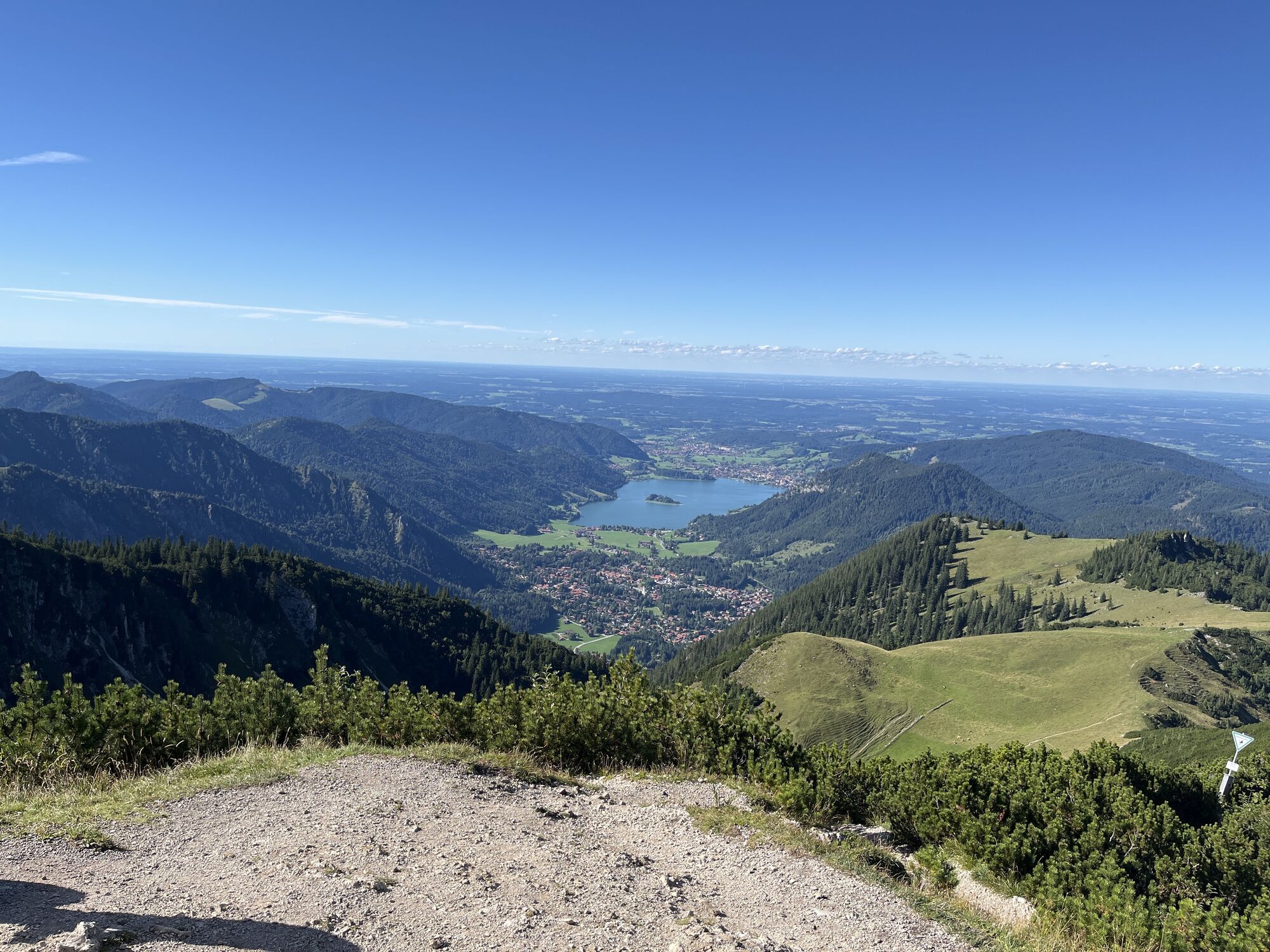
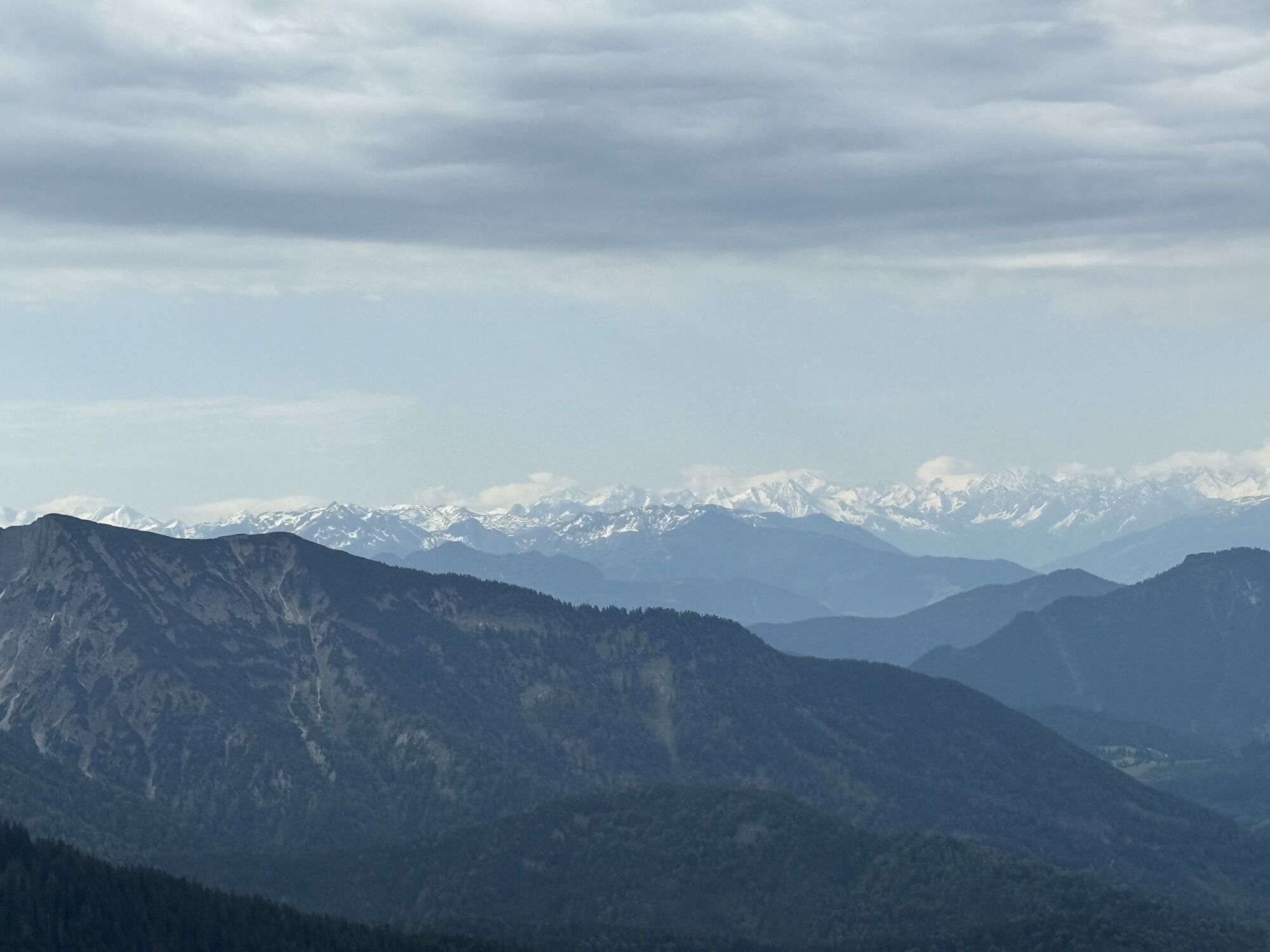
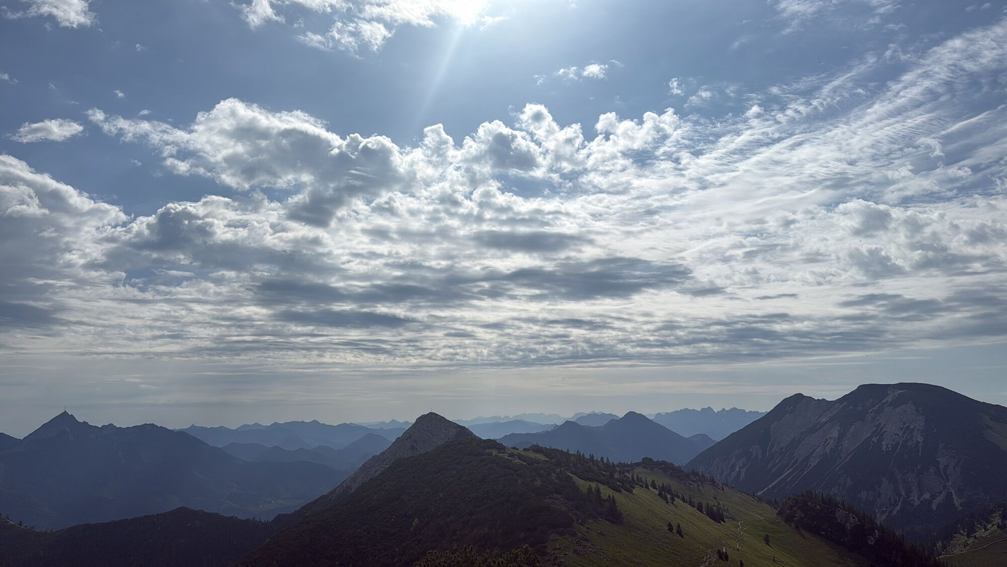

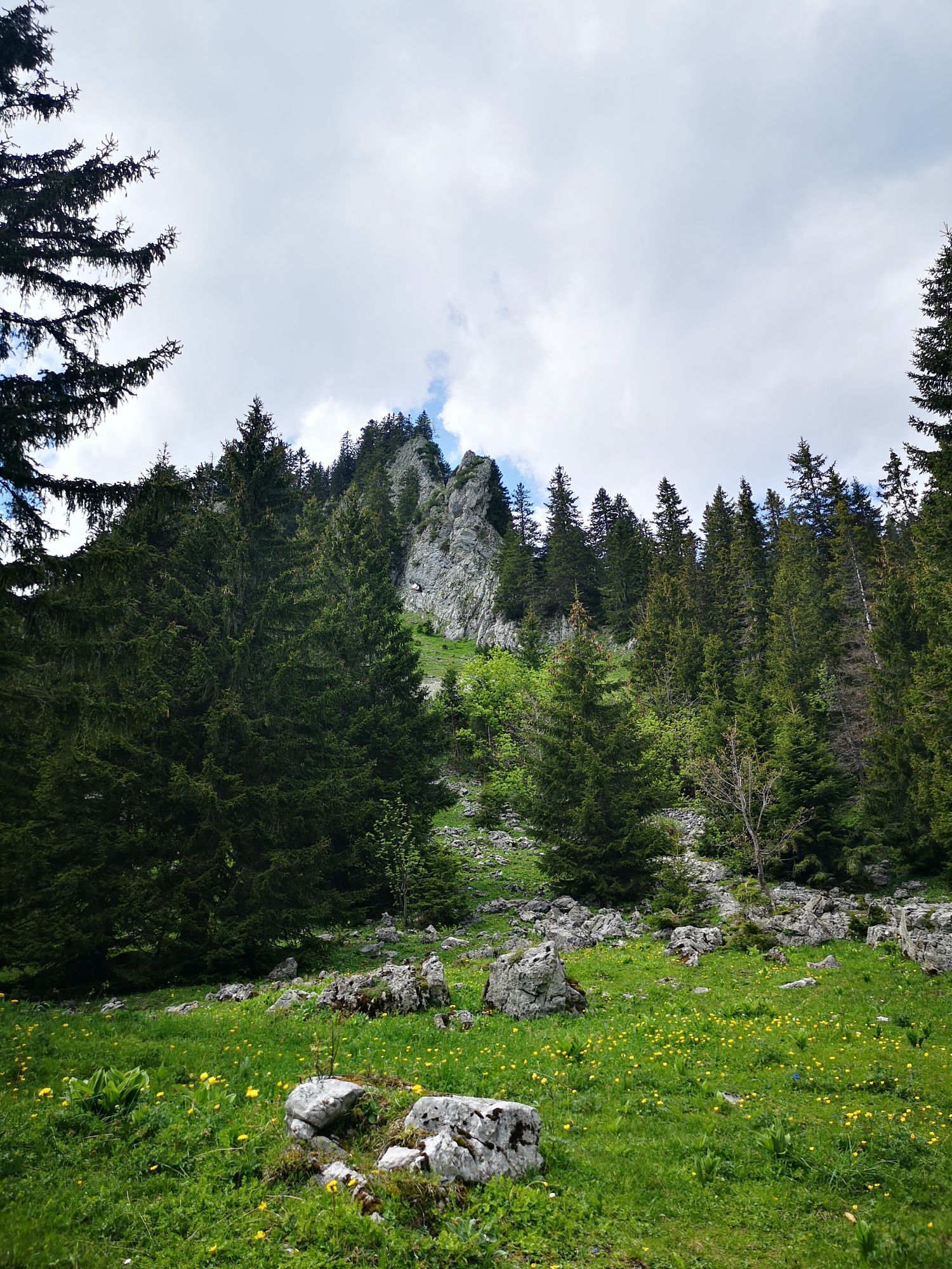


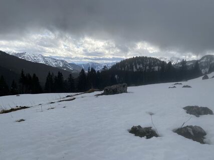
The Taubenstein ski area has been closed for several years, offering a perfect terrain for ski tourers. On the former slopes, you mostly move on easy slopes. The Jägerkamp northeast of the former ski area...
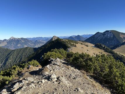
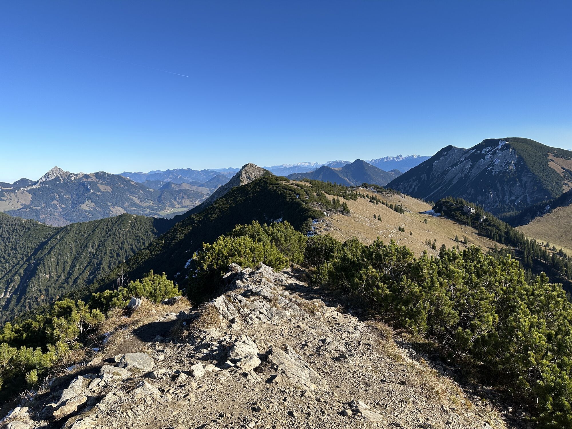
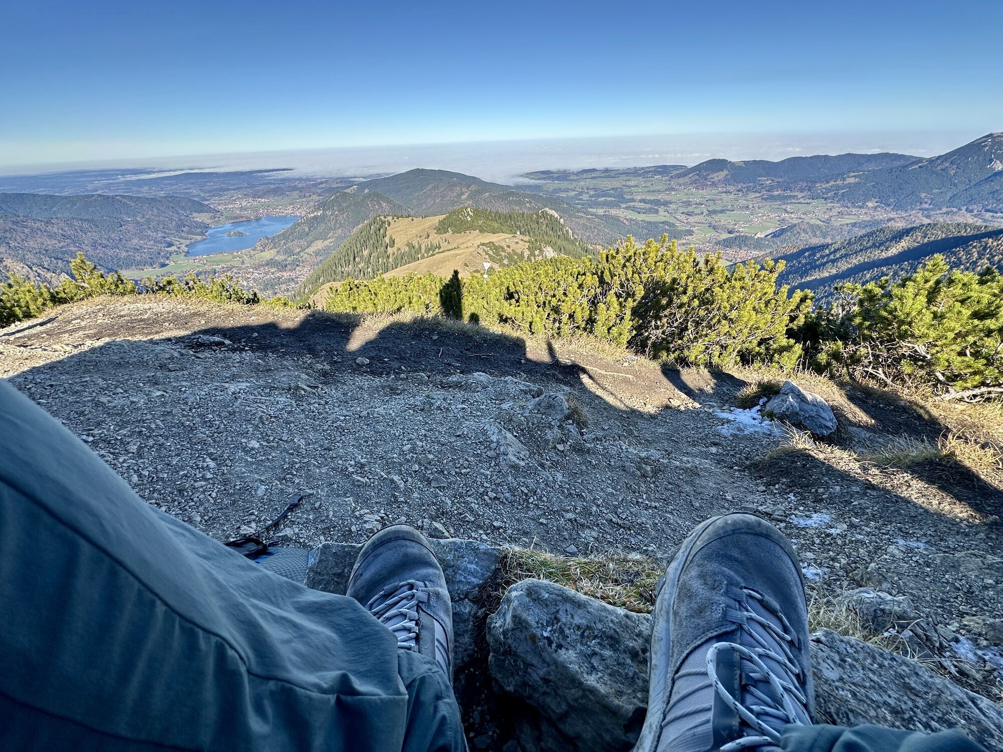
The Taubenstein ski area has been closed for several years, offering a perfect terrain for ski tourers. On the former slopes, you mostly move on easy slopes. The Jägerkamp northeast of the former ski area is also a nice day route suitable for beginners. With its attractive view, it is a beautiful mountain and, thanks to its southern exposure, a sunny route.
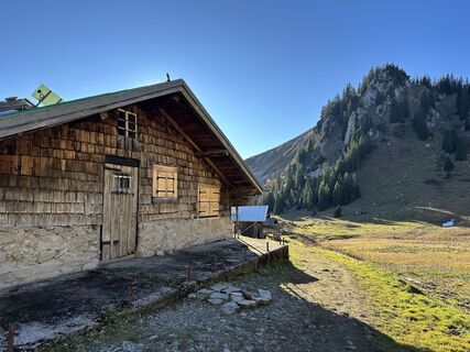
There is a place to stop at the Schönfeldhütte.
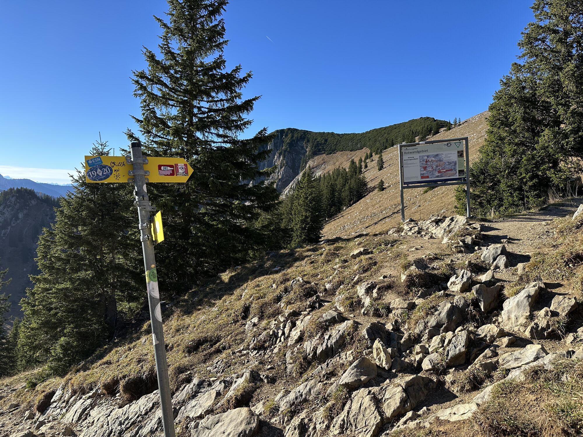
Please stick to the specified ascents and descents and pay attention to the wildlife protection areas as well as the forest and wildlife conservation areas!

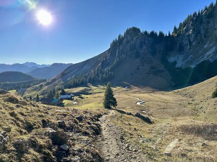
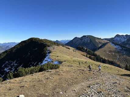
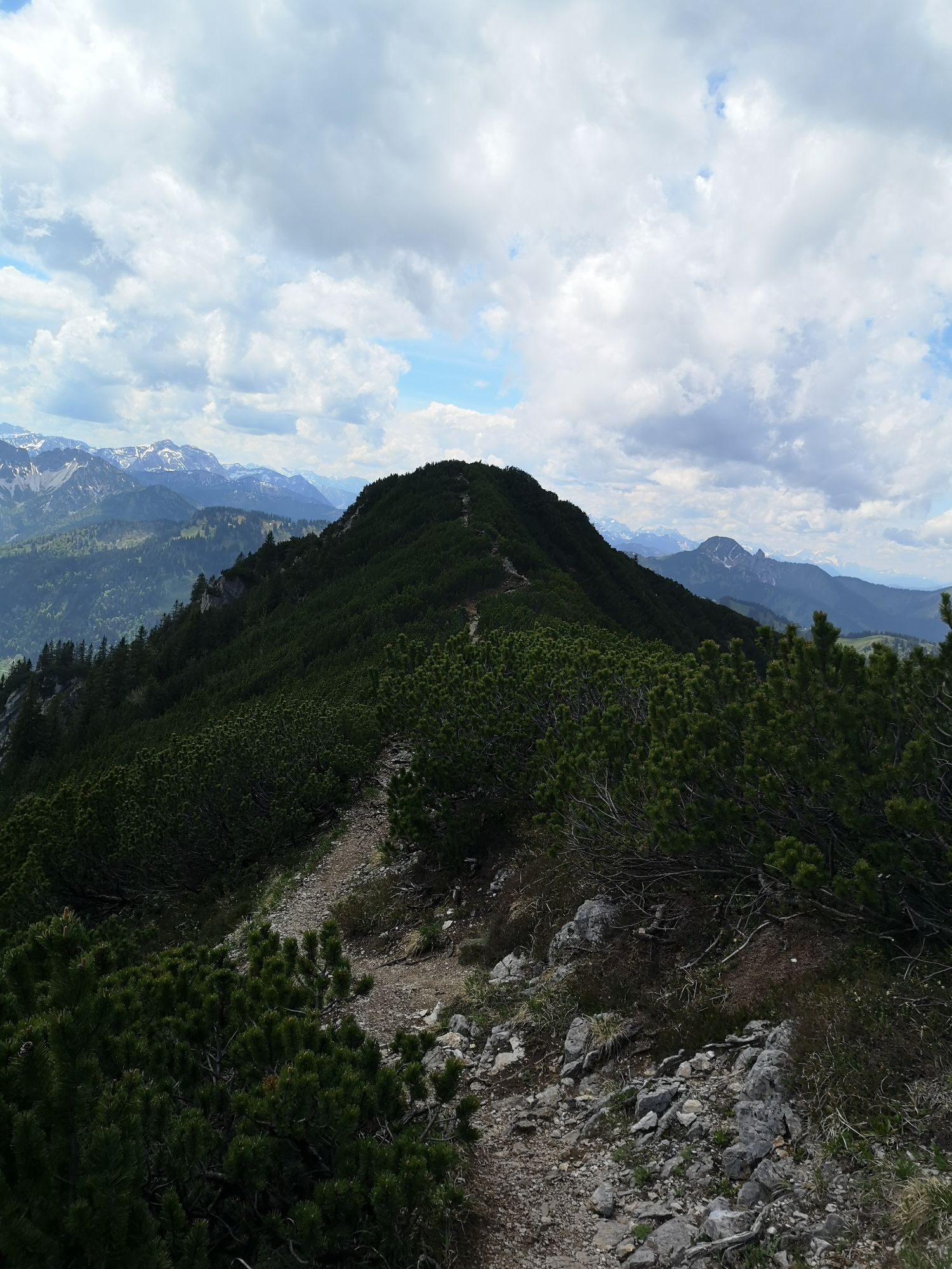
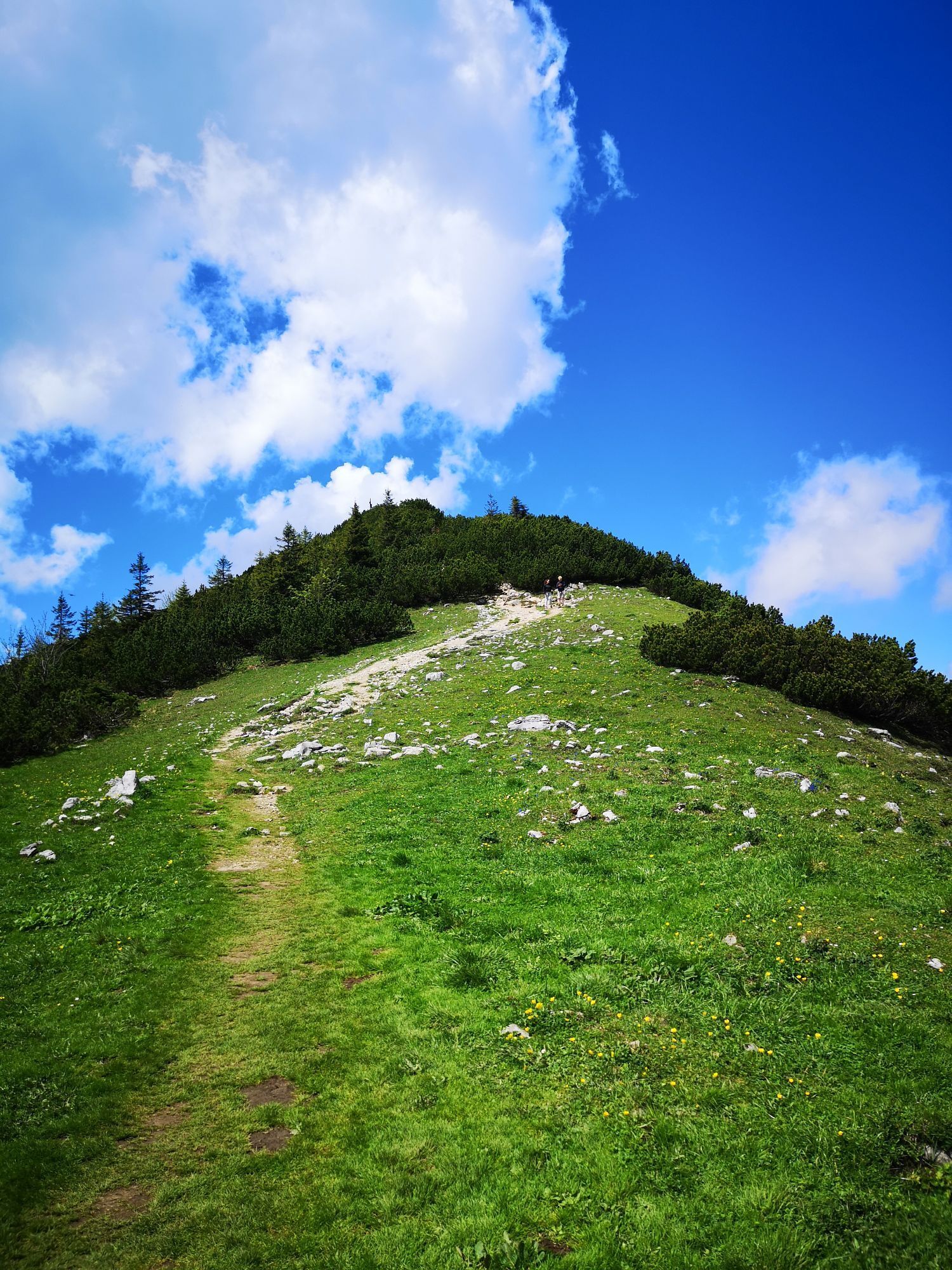
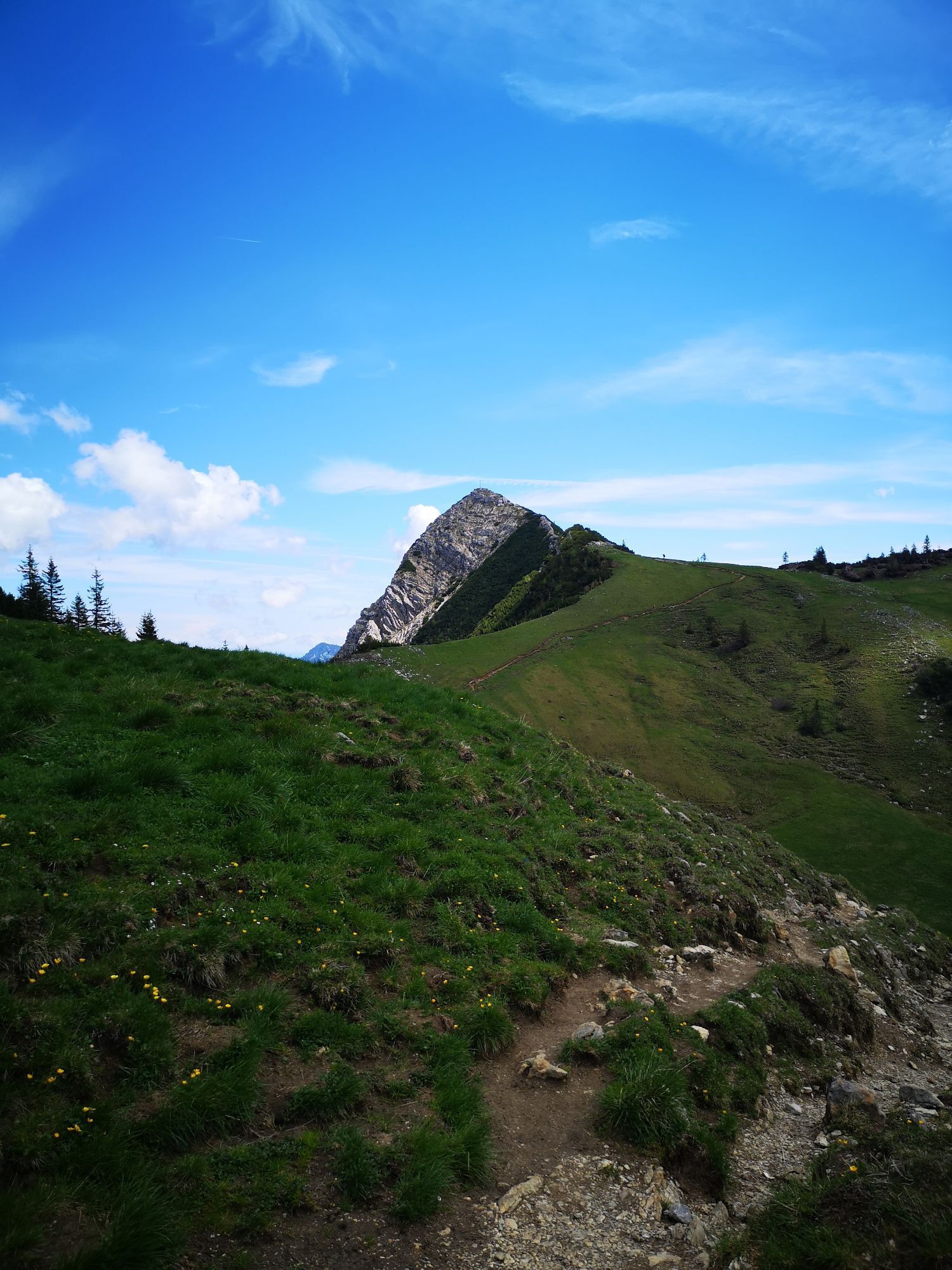
From the Taubensteinbahn parking lot, follow the former ski slope and immediately go steeply uphill to below the gondola lift. At the first clearing, leave the ski slope and ascend the shoulder to the Schönfeldhütte on the left. Pass the Schönfeldhütte and continue up to the upper Schönfeldalm. Continue uphill and ascend the steep slope on the right to tackle the summit slope/ridge ahead. Once you see the summit cross, you can no longer miss the summit.
Descent along the ascent route.
Please observe the forest and wildlife protection areas below the summit of the Jägerkamp as well as around the Benzingspitz.
Da
Da
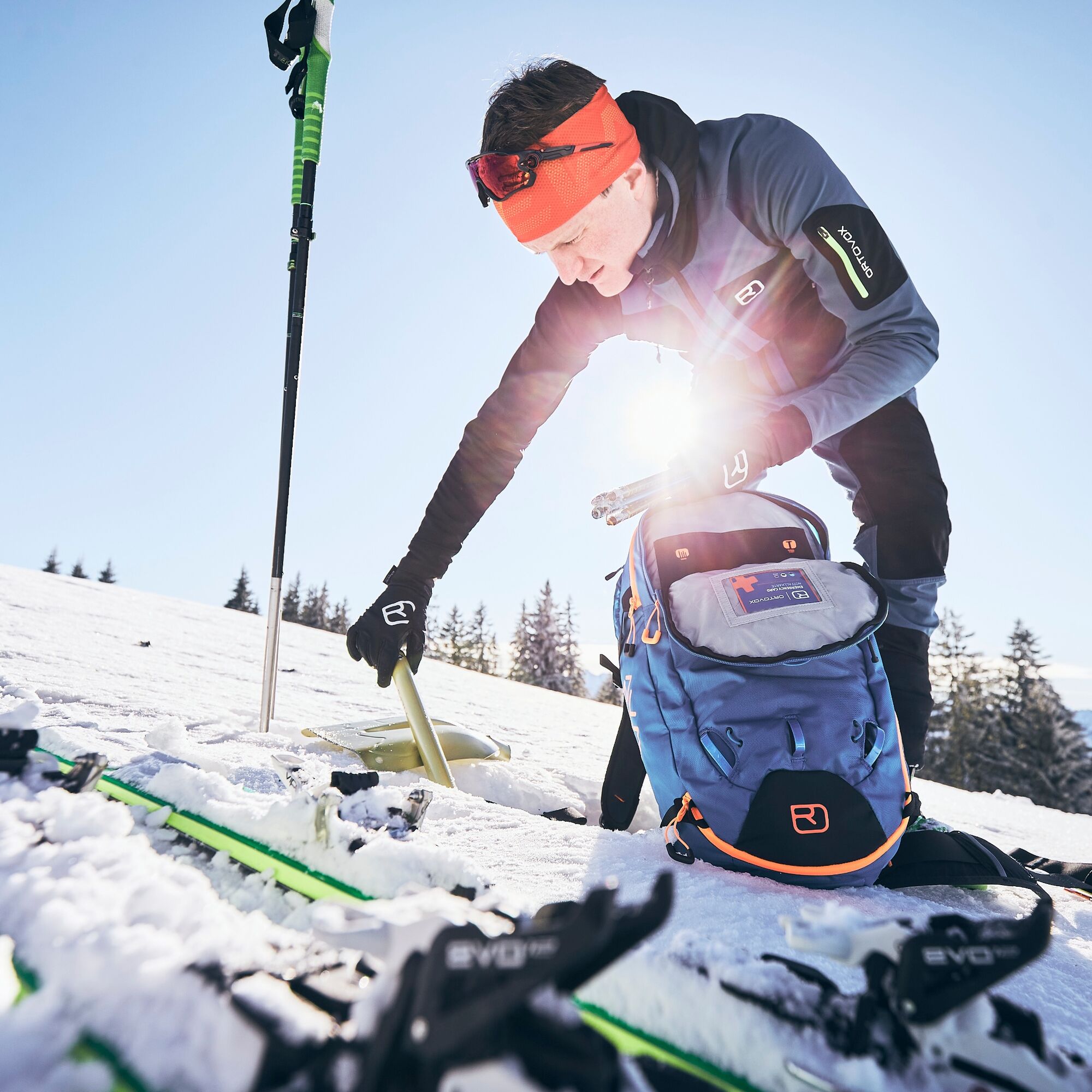
Ski touring equipment, poles, weather-appropriate clothing, provisions, GPS device, avalanche transceiver, avalanche probe, avalanche shovel, and mobile phone are recommended.
For all ski touring and snowshoeing routes: you are moving in unsecured alpine terrain at your own risk. You must be aware of alpine dangers, especially avalanche risk. No liability is assumed.
Take the A8 to the Weyarn exit, continue via St2073 and B307 to Schliersee. After the Neuhaus district, take the turnoff to Spitzingsee and follow the road to the Taubensteinbahn parking lot.
Bavarian Regiobahn (BRB) trains run hourly from Munich to Schliersee. From there, continue by bus line 362 to Spitzingsee, Taubensteinbahn.
Here you can find the current timetable information.
Taubensteinbahn parking lot
F
Variants are possible, both in ascent and descent, but reserved for experienced or locals.
Please observe the wildlife protection areas as well as the forest and wildlife conservation areas!
Spletne kamere s turneje
-
Untere Firstalm
-
Bergstation Taubensteinbahn
-
Talstation Stümpflingbahn
-
Jagahütt´n
-
Stümpflingabfahrt
-
Obere Maxlraineralm
-
Suttenabfahrt
-
Taubensteinbahn - Bergstation
-
Spitzingsee
-
Lyralift
-
Talstation Rosskopf
-
Schliersee
-
Obere Firstalm
-
Obere Firstalm
-
Spitzingsee - Obere Maxlraineralm
-
Sutten Bergstation
-
Bergstation Stümpflingbahn
-
Sutten - Loipe
Priljubljeni izleti v okolici
-
4.8
Breitenstein
srednjaPohodništvo 9.13 km -
5.0
Gipfeltour auf den Wallberg
srednjaPohodništvo 12.2 km -
4.0
Von der Kistenwinterstube zum Risserkogel
srednjaPohodništvo 10.4 km -
4.0
Jägerkamp und Benzingspitze
srednjaPohodništvo 8 km -
4.7
Wendelstein
srednjaPohodništvo 11.2 km -
4.7
Leonhardstein
srednjaPohodništvo 8.17 km -
5.0
Durch den Pfanngraben auf die Rotwand
srednjaPohodništvo 18.4 km -
4.8
Brecherspitze
srednjaPohodništvo 14.5 km -
4.5
Brecherspitz-Runde auf dem Normalweg Schliersee, Bayern
srednjaPohodništvo 11.3 km -
4.0
Tegernsee Höhenweg - North
svetlobaPohodništvo 12.3 km
Pohodništvo in sledenje


Ne zamudite ponudb in navdiha za naslednje počitnice
Vaš e-poštni naslov je bil dodan na poštni seznam.