





Circular route to the ravine path
Stopnja težavnosti: 2
From the starting point at the station, first head out of town via Argenstraße towards Genhofen. Turn right here towards Ranzenried. Then turn left again and via Buch Straße at Hahnschenkel. There turn...
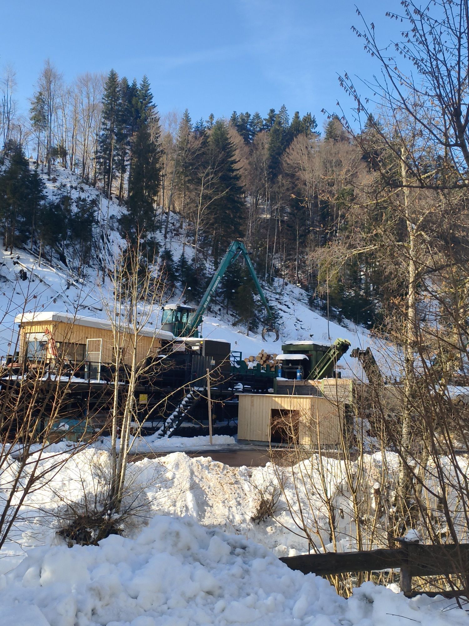
From the starting point at the station, first head out of town via Argenstraße towards Genhofen. Turn right here towards Ranzenried. Then turn left again and via Buch Straße at Hahnschenkel. There turn right onto the bike path and continue through Burkatshofen to Nagelhub. A forestry road branches off to the right and leads over a meadow to the ravine path. We follow the path along the forest edge for a few meters and then turn left towards Ellhofen. There turn right and ride out of town through the residential houses. After crossing the railway, follow the forestry road through the forest to Röthenbach. At the intersection to the main road, turn right and after 100 meters turn right again. Then keep left and follow the forestry road on the left side of the ravine brook. The path soon ascends towards Heimhofen. We reach the village on a paved road below it, then turn right up the side road to Rutzhofen. Here turn left towards Stiefenhofen and take the bike path to the intersection in town. For a few meters, turn left and immediately after the church turn right downhill to Oberthalhofen. At the intersection, turn right and follow the Upper Argen along to Weißenbachmühle. Just before the railway bridge, continue straight ahead on the gravel path. After a short steep climb, you can already see the small village of Zell. Past the golf course to Buflings. Follow the bike path along the main road back to Oberstaufen.

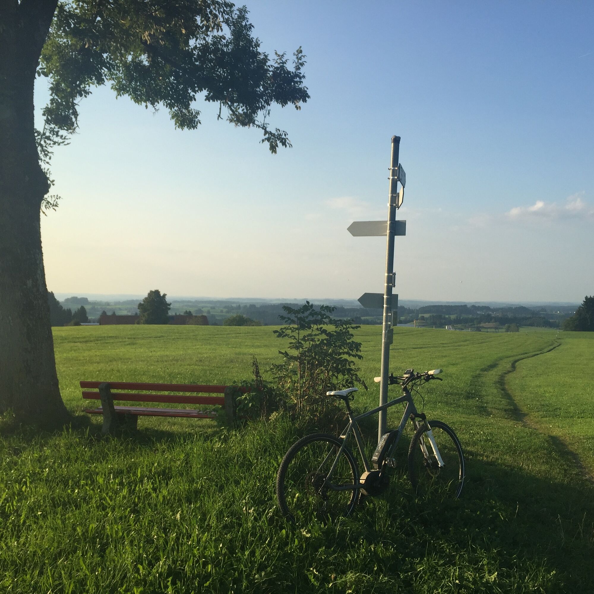
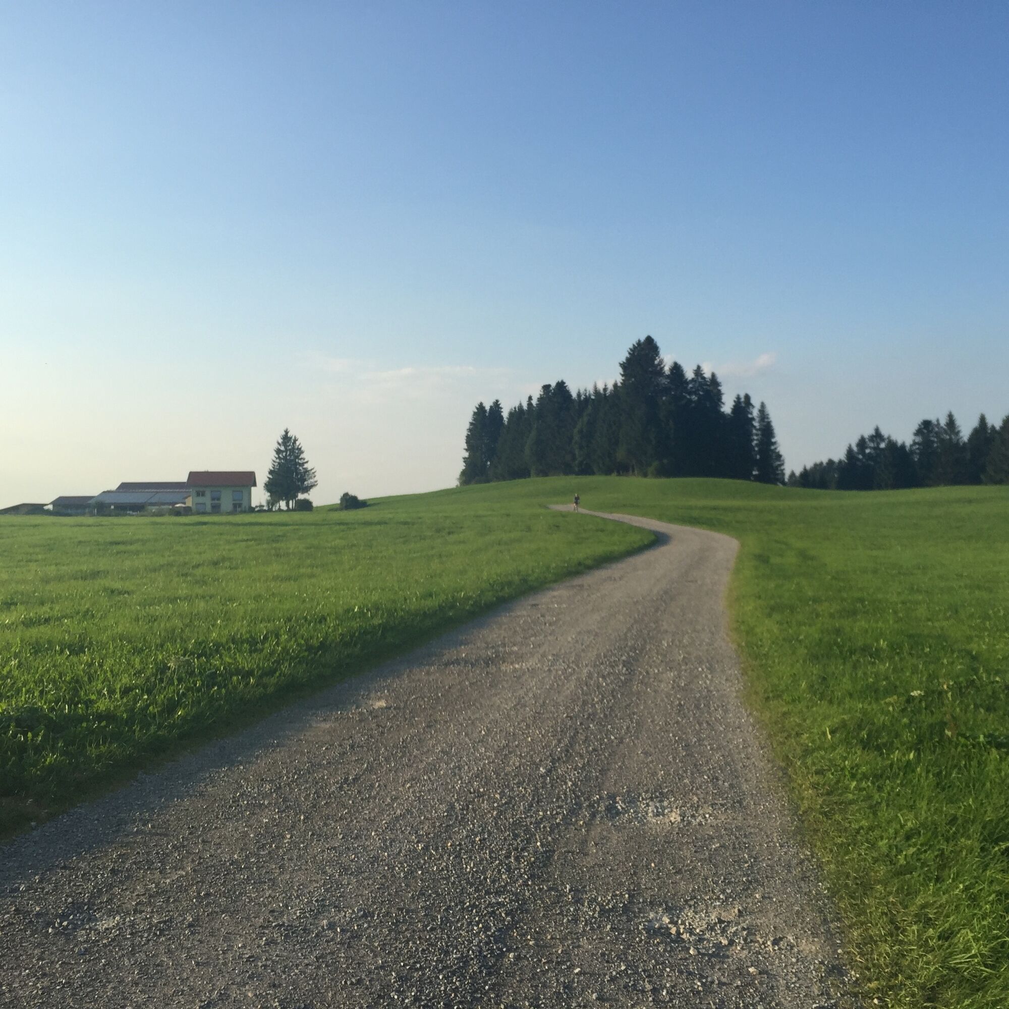
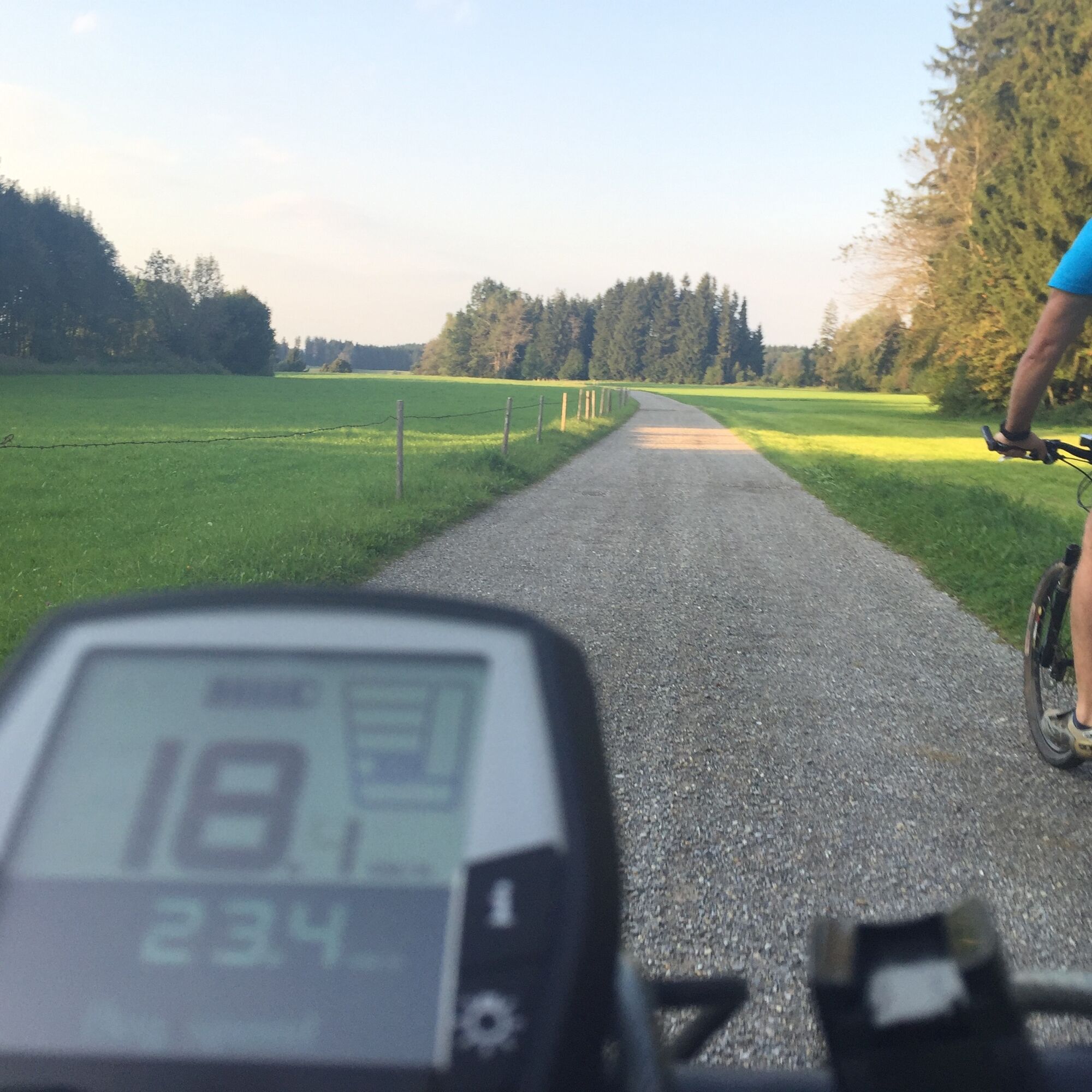
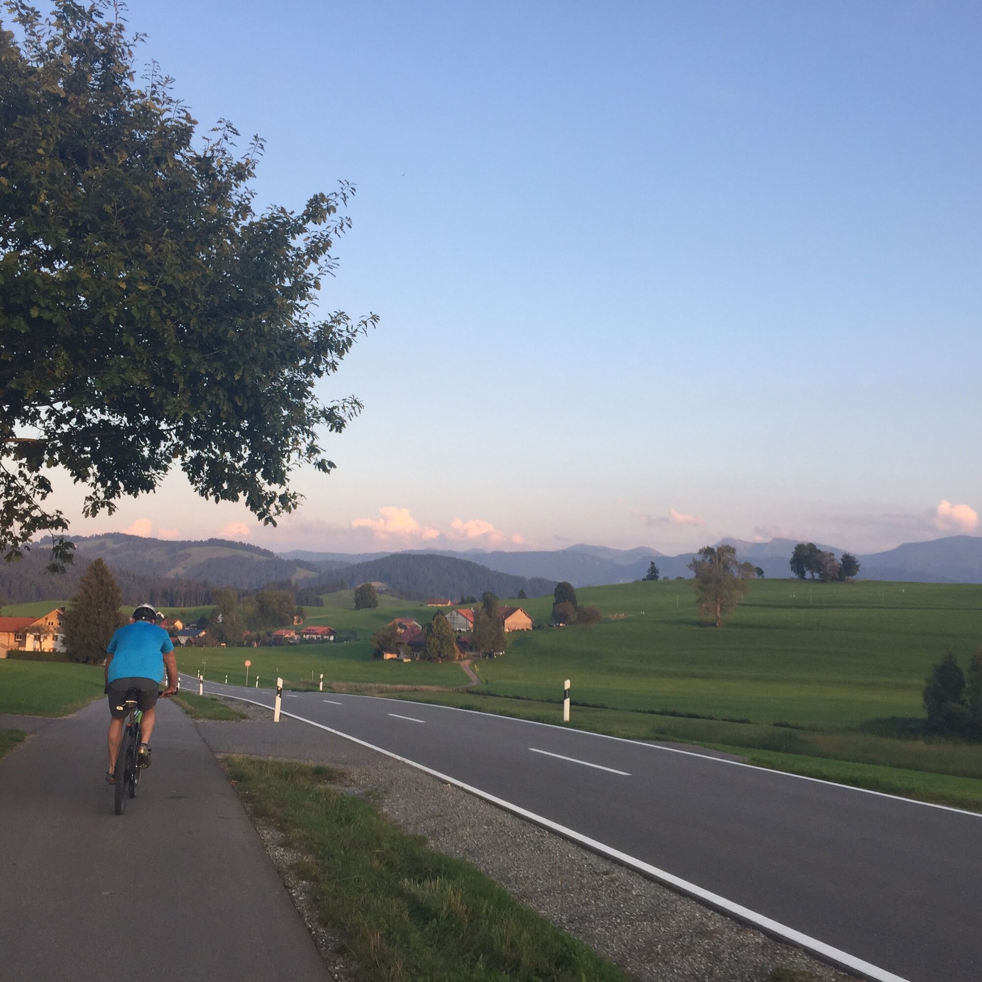
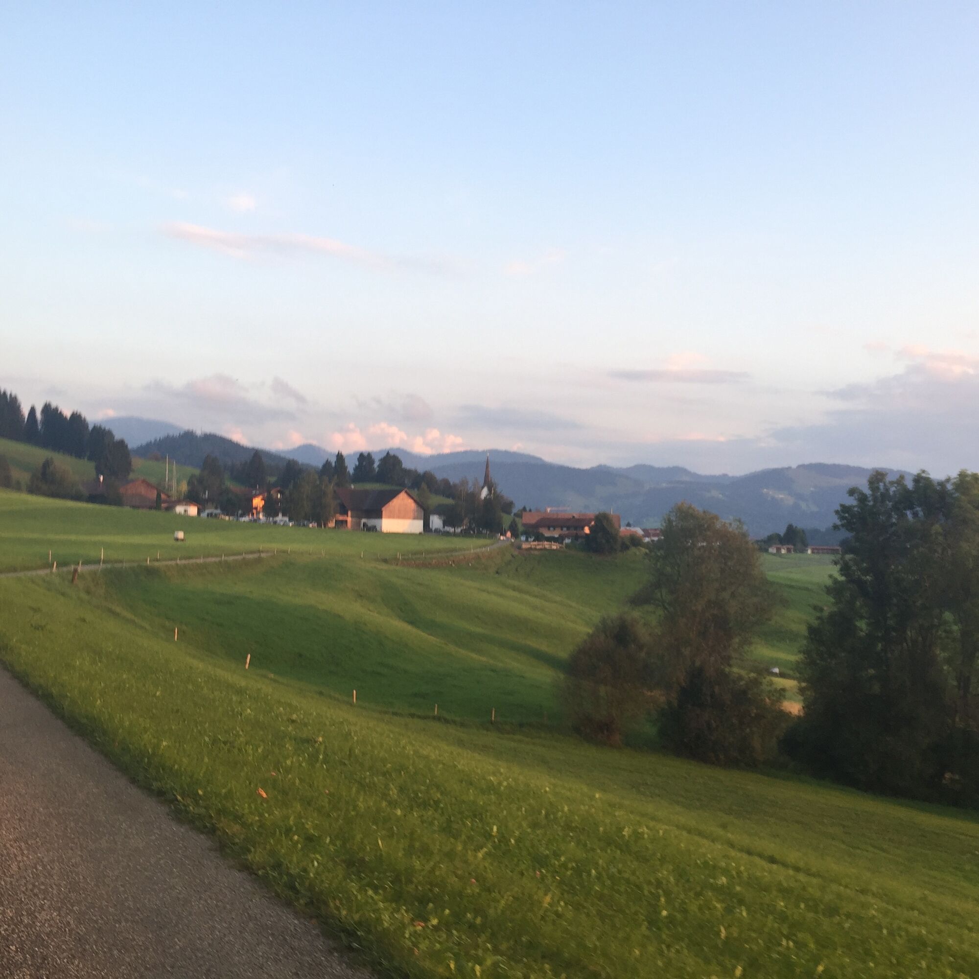

Oberstaufen Station - Genhofen - Buch - Burkatshofen - Nagelshub - ravine path - Ellhofen - Röthenbach - Heimhofen - Rutzhofen - Stiefenhofen - Oberthalhofen - Zell - Buflings - Oberstaufen
2
Note: The route is not explicitly signposted; GPX data is available for navigation.
This route is suitable for all-terrain (e-)bikes and touring bikes.
Pridobite vpogled
Vedno v živo na mestu z več kot 9.500 spletnimi kamerami. bergfex Kot uporabnik Pro si lahko zdaj ogledate ustrezne spletne kamere za številne izlete v aplikaciji izleti iz. Tako si lahko neposredno ogledate trenutne razmere.
Priljubljeni izleti v okolici
-
4.5
Hittisau | Wasserwanderweg
svetlobaTematska pot 7 km -
4.6
Steibis - Buchenegger Waterfalls
srednjaPohodništvo 6.47 km -
5.0
Nagelfluh ridge route Hochgrat - Mittag
težkoPohodništvo 14.0 km -
4.7
Rindalphorn und Hochgrat
srednjaPohodništvo 15.6 km -
5.0
Siedelalpe Runde von See - Immenstadt
svetlobaPohodništvo 10.3 km -
4.5
Immenstädter Horn - Gschwender Horn
svetlobaPohodništvo 10 km -
4.3
Circular route Steibis to Dreiländerblick
srednjaPohodništvo 7.95 km -
5.0
Circular route Hochgrat - Falkenhütte
težkoPohodništvo 14.2 km -
4.0
Nagelfluh-Überschreitung
težkoPohodništvo 22.7 km -
4.5
Circular route on the Hochgrat
srednjaPohodništvo 4.49 km

Pohodništvo in sledenje


Ne zamudite ponudb in navdiha za naslednje počitnice
Vaš e-poštni naslov je bil dodan na poštni seznam.





