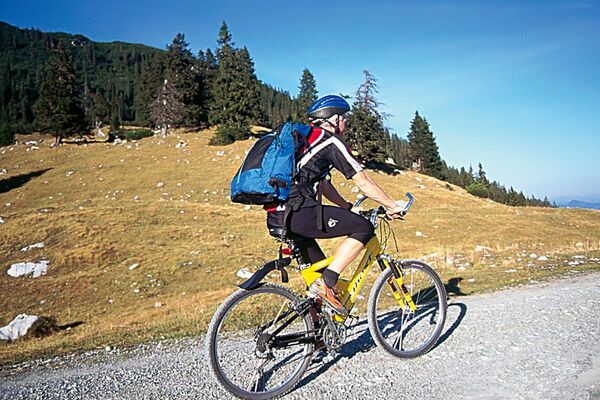
© Ammergauer Alpen GmbH - Hansi Heckmair

© Ammergauer Alpen GmbH - Hansi Heckmair

© Ammergauer Alpen GmbH - Florian Leischer

© Ammergauer Alpen GmbH - Florian Leischer


- Kratek opis
-
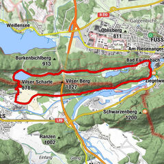
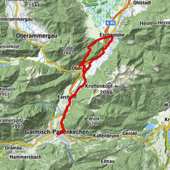
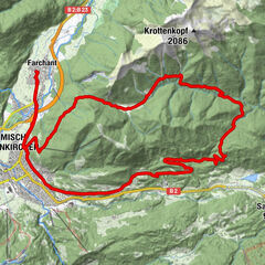
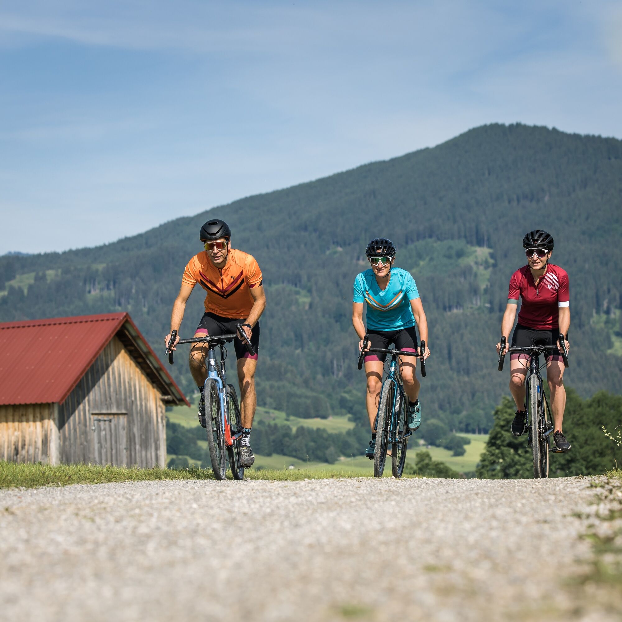
Altenau - Unternogg - Halbammer Valley - Halblech Valley - Halblech - Trauchgau - Königstraße - Unternogg - Altenau
- Težavnost
-
srednja
- Ocenjevanje
-
- Pot
-
Altenau (837 m)0,0 kmAlte Mühle0,6 kmMayersäge (822 m)1,2 kmBeim Ochsenkopf17,4 kmHalblech26,0 kmTrauchgau (792 m)27,4 kmUnterreithen30,7 kmSt. Michael30,7 kmMarienkapelle31,2 kmOberreithen31,2 kmSchober31,9 kmMayersäge (822 m)43,5 kmAlte Mühle44,1 kmAltenau (837 m)44,8 km
- Najboljša sezona
-
janfebmaraprmajjunjulavgsepoktnovdec
- Najvišja točka
- 1.176 m
- Destinacija
-
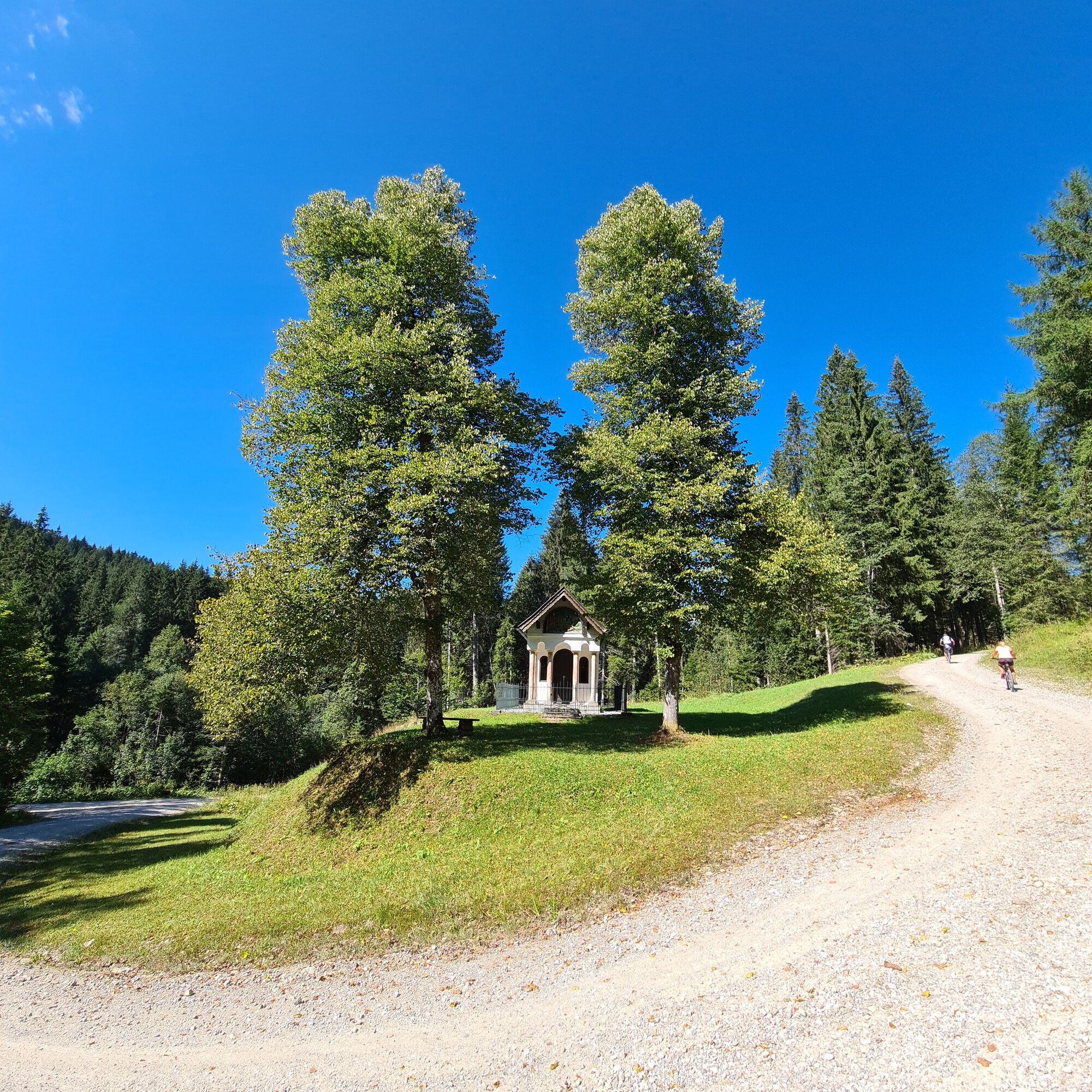
village pond, Altenau
- Profil nadmorske višine
-
 © outdooractive.com

-

-
AvtorTurneja Mountain bike tour – around the Trauchberg uporablja outdooractive.com na spletni strani ..
GPS Downloads


Splošne informacije
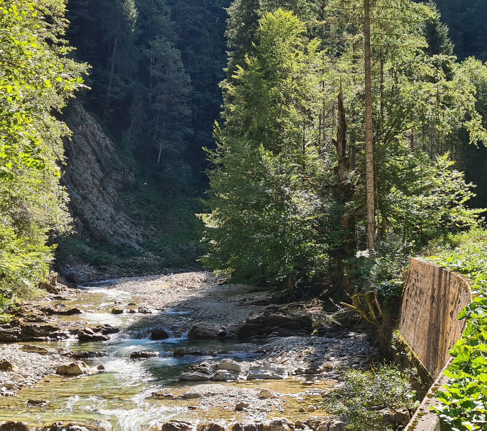
Postanek za osvežitev
Obetavno
Več izletov v regijah