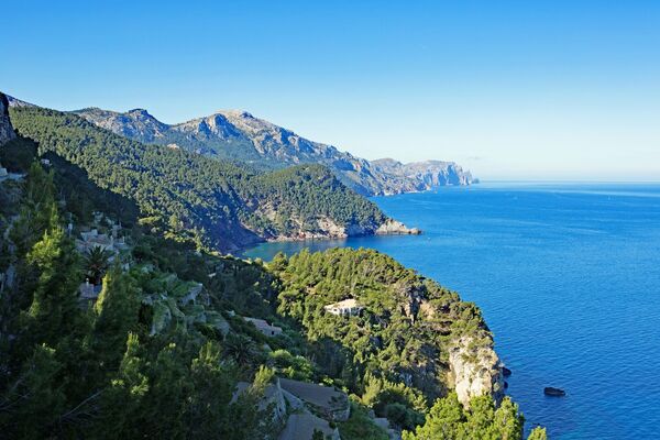
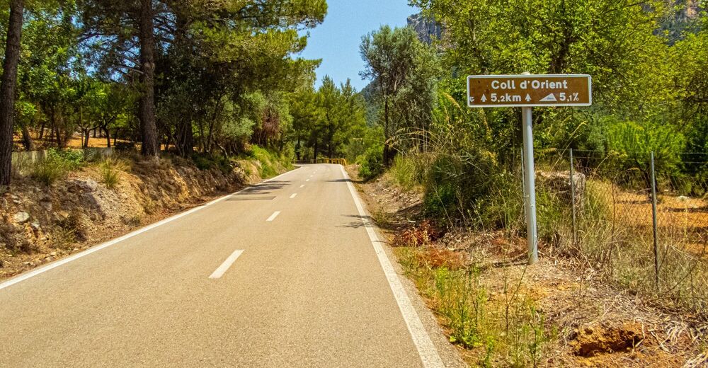
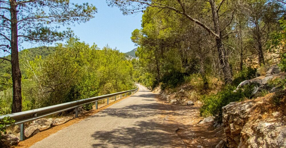
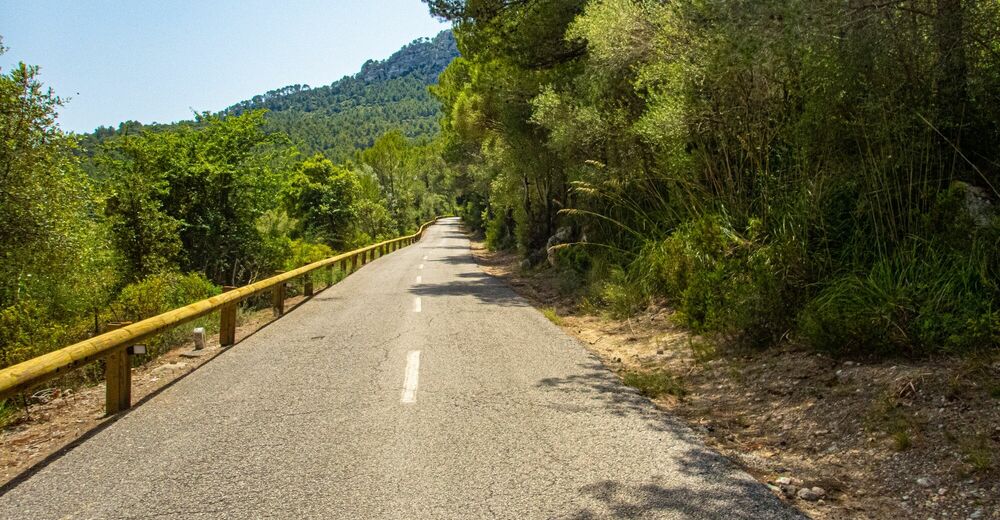
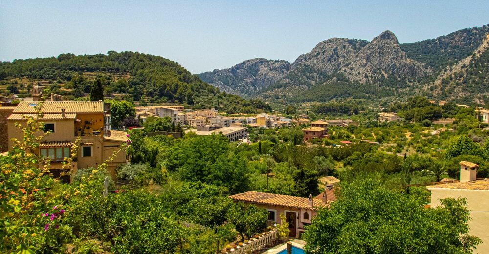
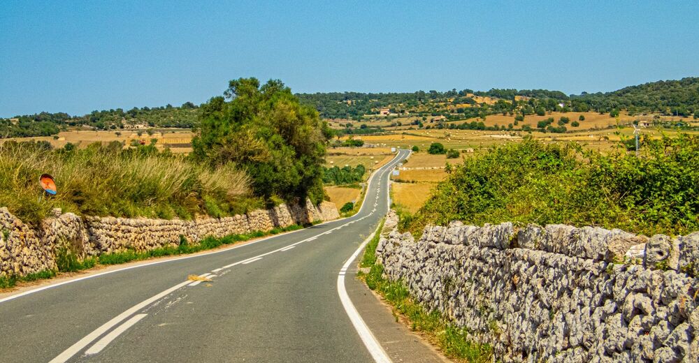
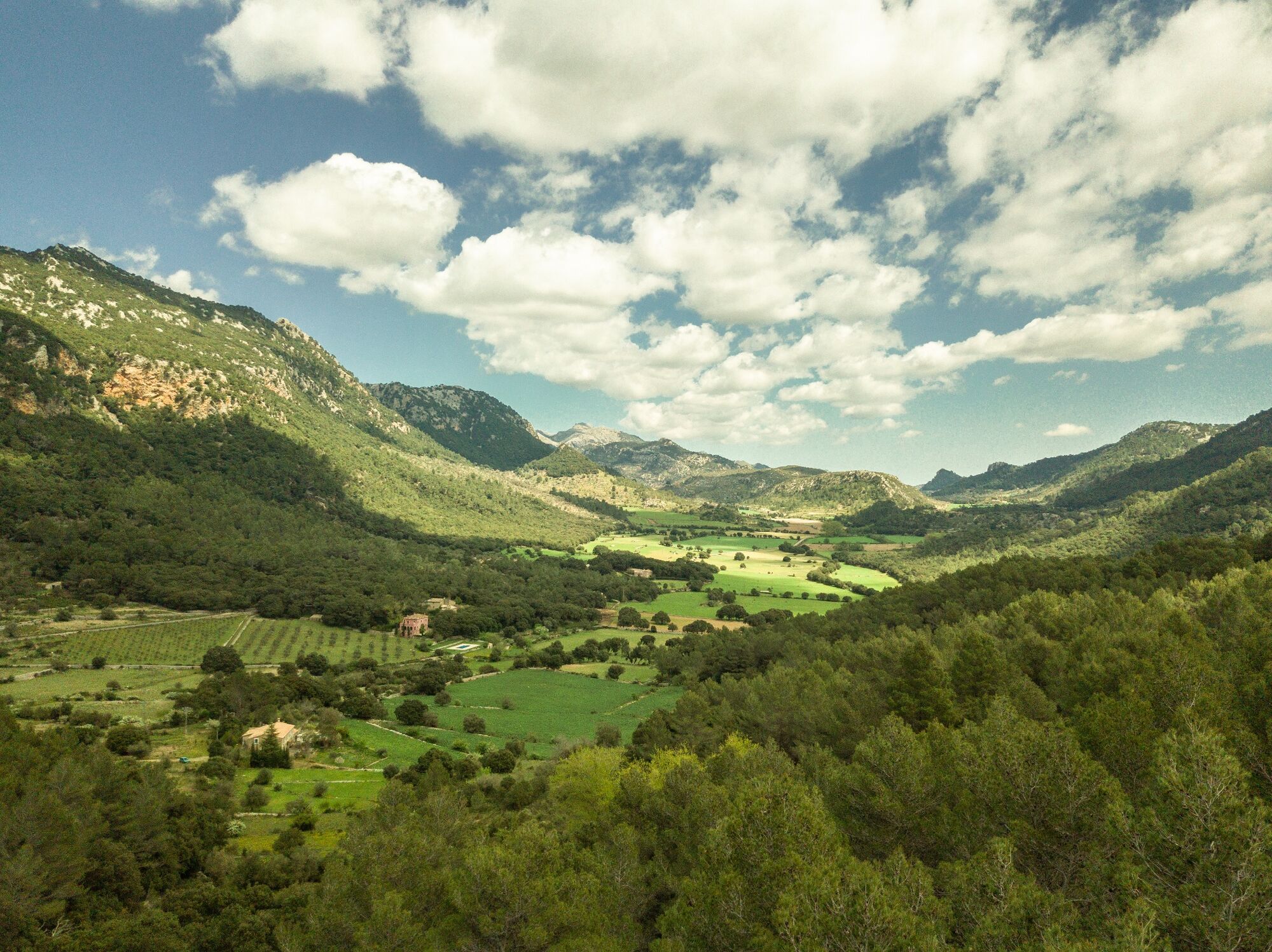
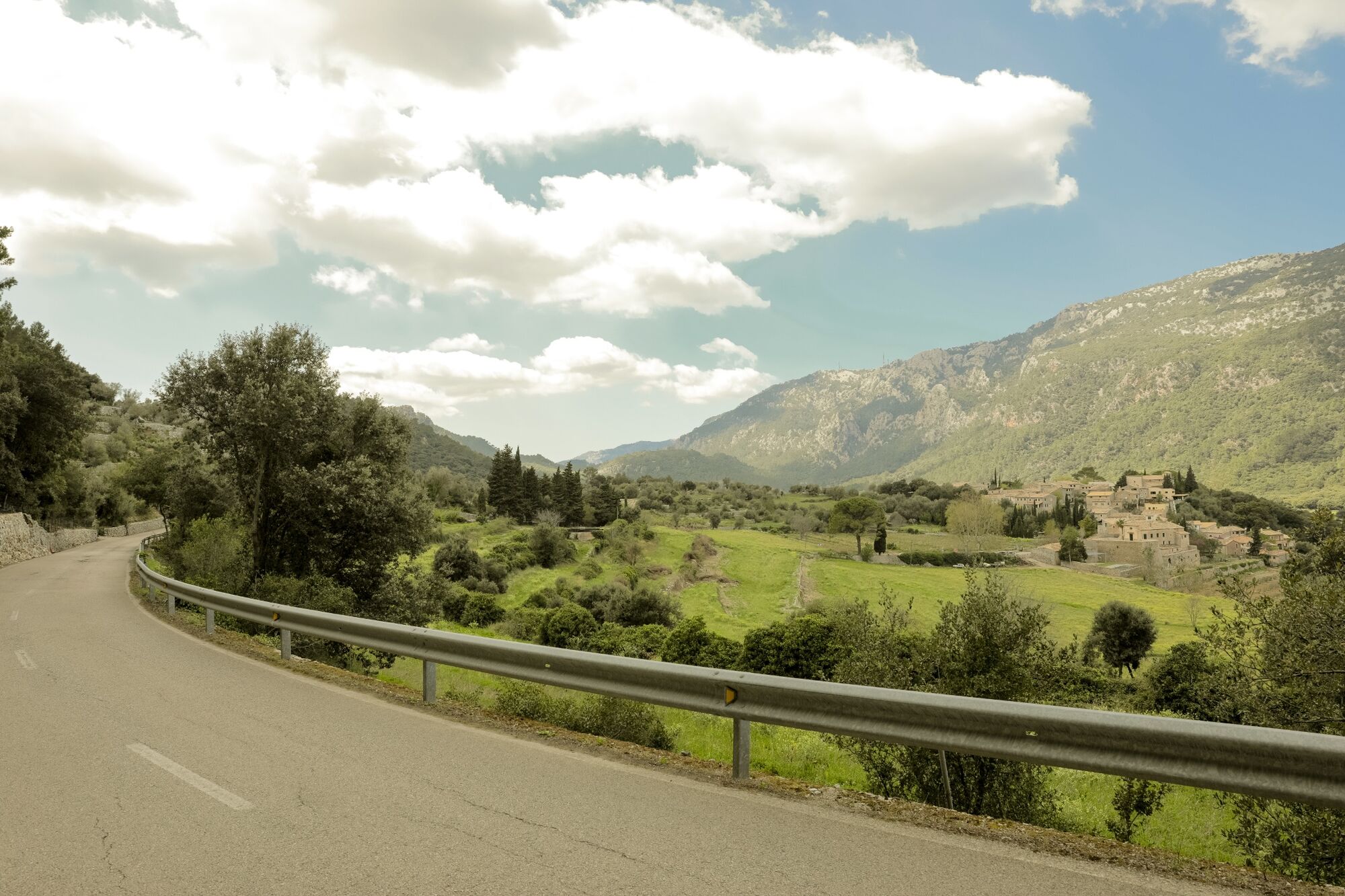
The Orient Pass on the foothills of the Tramuntana from Playa de Muro
Cestno kolo
© Huerzeler - Das Radsport Erlebnis - Herbert Poul


© Huerzeler - Das Radsport Erlebnis - Herbert Poul

© Huerzeler - Das Radsport Erlebnis - Herbert Poul
© Huerzeler - Das Radsport Erlebnis - Herbert Poul
© Huerzeler - Das Radsport Erlebnis - Herbert Poul
© Huerzeler - Das Radsport Erlebnis - Herbert Poul


- Kratek opis
-
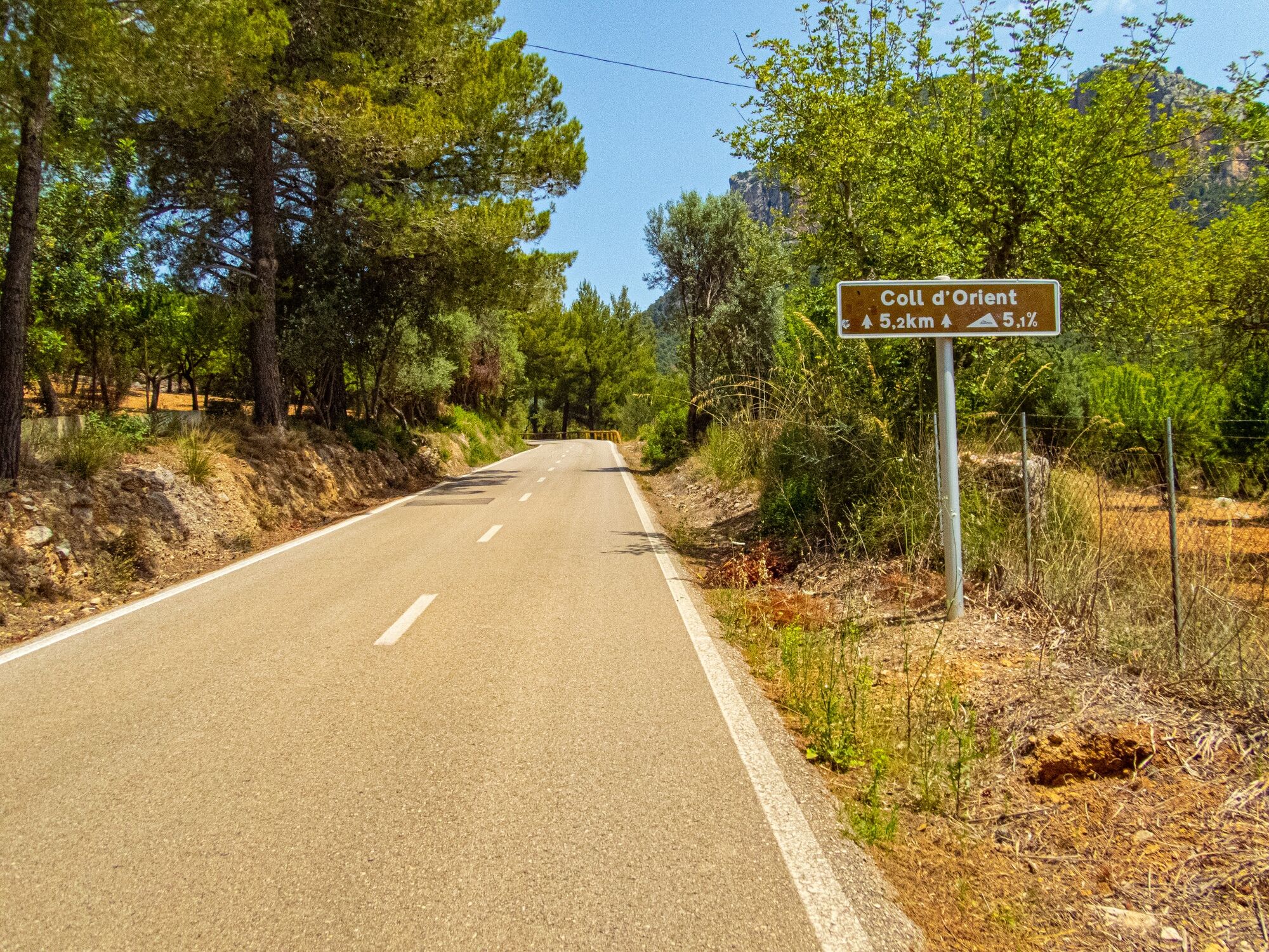
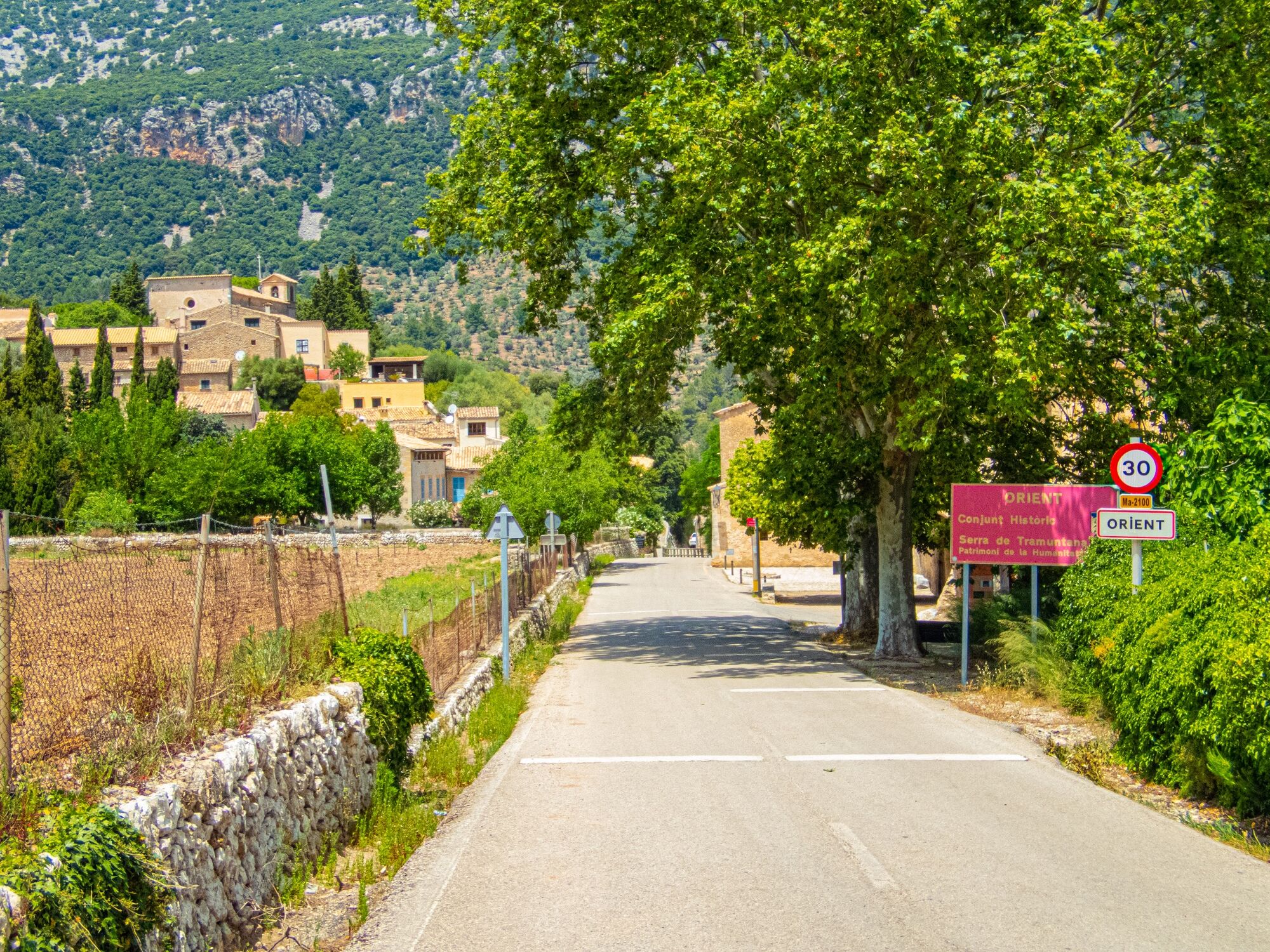
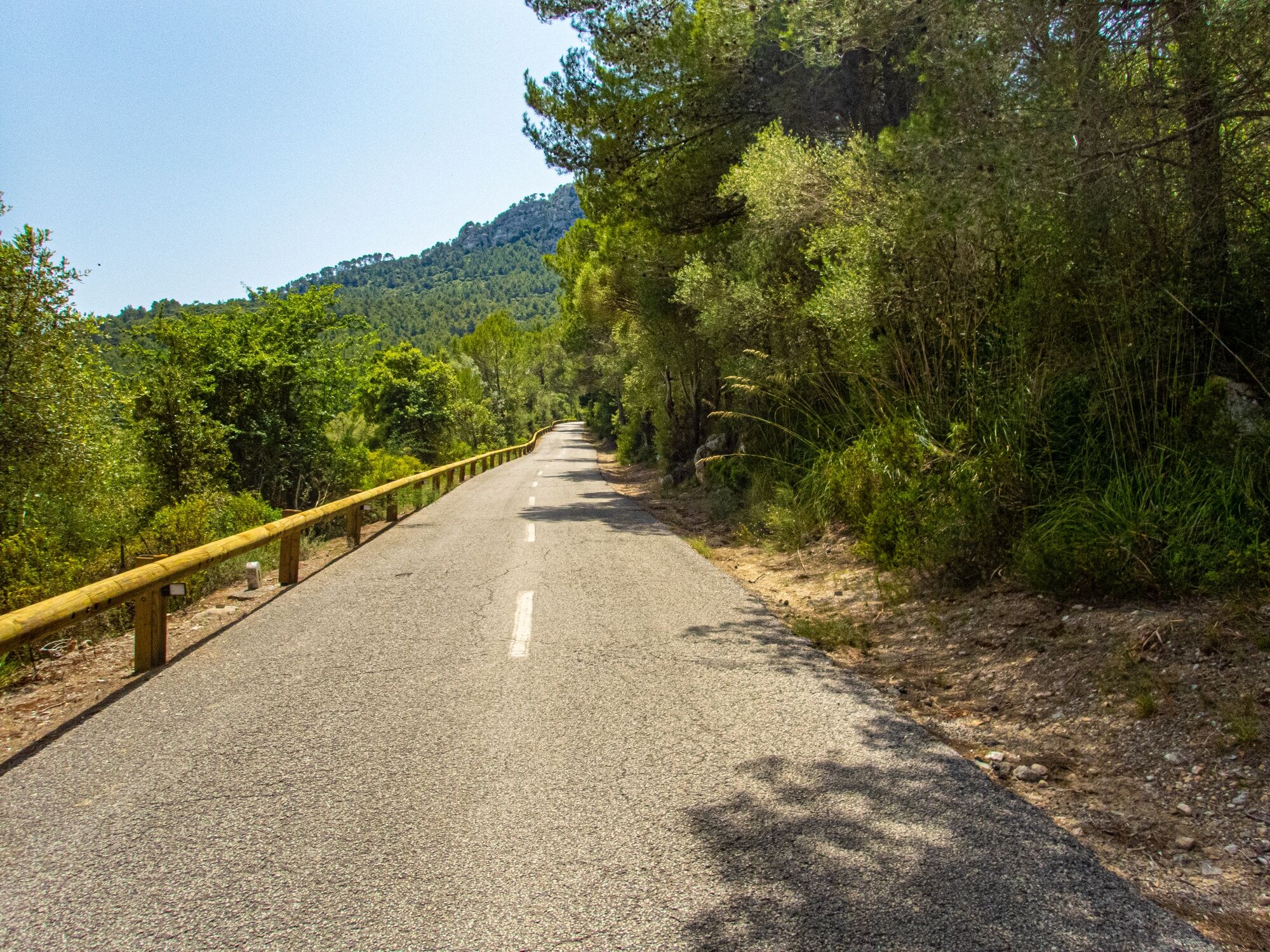
A scenic tour over the beautiful Coll d'Honor/Orient Pass at the foot of the imposing Tramuntana peaks.
- Težavnost
-
srednja
- Ocenjevanje
-
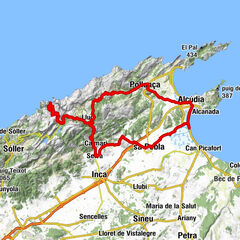
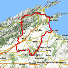
- Pot
-
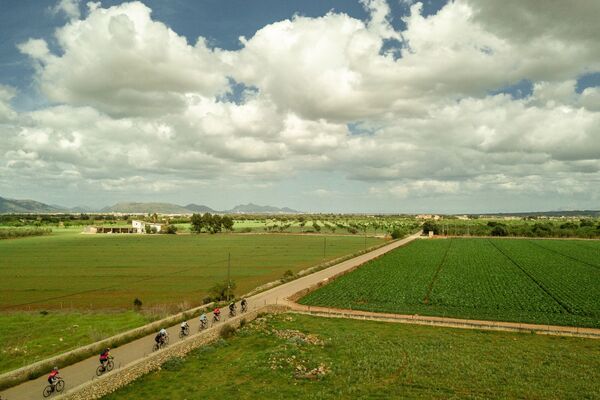
Platja de Muro (3 m)0,6 kmSant Albert Magne1,3 kmCan Blau5,6 kmLa Puebla (23 m)10,2 kmSa Llebre14,6 kmpont de Sa Llebre15,1 kmBúger (78 m)15,9 kmSon Sabater16,3 kmSes Barranyes17,7 kmSant Miquel19,1 kmCampanet (115 m)19,2 kmsa Canova20,0 kms’Alqueria20,5 kmMoscari (142 m)22,5 kmSanta Anna22,5 kmPont den Blai24,8 kmCamarata25,6 kmFont de Camarata25,7 kmSelva (194 m)25,9 kmFont de Valella26,3 kmInca (118 m)27,6 kmBiniamar (192 m)30,3 kmSanti Taura31,9 kmLloseta32,0 kmTofla35,6 kmcoll de Tofla36,1 kmSon Grau36,8 kmCan Bescuit37,6 kmAlaró (216 m)39,7 kmses Cases Noves39,7 kmes Pontarró40,1 kmfont d’en Tries47,6 kmOrient (452 m)49,1 kmCan Jaume49,1 kmSon Perot51,1 kmColl d'Honor (550 m)53,2 kmpont des Ciprer56,4 kmCan Grau58,1 kmBuñola (214 m)59,2 kmAntic Grill59,2 kmPizzeria Tramuntana59,3 kmEs Garrigó59,4 kmes Garrigó59,9 kmBaix des Puig64,4 kmMolí des Torrent66,6 kmSon Fango68,3 kmHostals68,5 kmEsglésia de la Mare de Déu de la Soledat68,6 kmSanta Maria del Camí (129 m)69,3 kmsa Vileta69,5 kmSanta Eugènia (129 m)75,2 kmes Puget75,5 kmSon Sant Joan77,6 kmSo na Rossa78,1 kmSencelles81,6 kmCascanar83,9 kmpou de Judí86,2 kmJudí86,2 kmPina (153 m)88,8 kmPont de Pina89,8 kmSa Creueta89,9 kmLloret de Vistalegre (168 m)94,2 kmes Pou94,3 kmEs Pou94,3 kmPunta d'en Pagès95,2 kmes Camp Rodó97,7 kmSa Penya97,9 kmSa Marcona98,8 kmCamp d'en Pineta98,9 kmSineu (134 m)99,1 kmSineu99,6 kmses Cases Noves99,9 kmCan Barraca103,3 kmCan Gelat103,5 kmSon Bosc104,7 kmRaRo111,3 kmMuro (72 m)111,3 kmEs Padró112,1 kmArco Iris119,4 kmCan Picafort121,4 kmses Casetes des Capellans121,6 kmIndoor Playing Room125,5 kmPlatja de Muro (3 m)126,2 km
- Najboljša sezona
-
janfebmaraprmajjunjulavgsepoktnovdec
- Najvišja točka
- 560 m
- Destinacija
-
Huerzeler cycling station Playa de Muro South
- Profil nadmorske višine
-
 © outdooractive.com


- Avtor
-
Turneja The Orient Pass on the foothills of the Tramuntana from Playa de Muro uporablja outdooractive.com na spletni strani ..
GPS Downloads


Splošne informacije
Obetavno
Več izletov v regijah
-
Mallorca
24