© Berghütte Lauterbad - Steffen Schillinger

© Nationalparkregion Schwarzwald - Freudenstadt - Isabel Blüher-Hanas

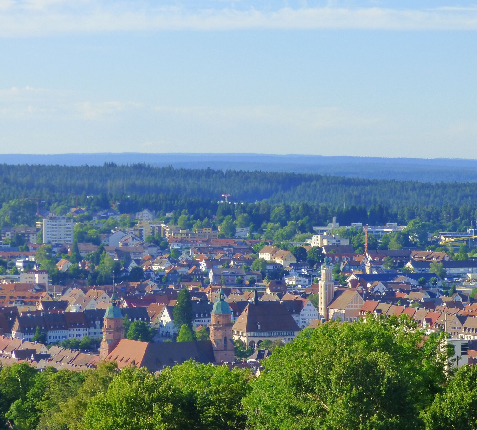
© Nationalparkregion Schwarzwald - Freudenstadt - Freudenstadt Tourismus

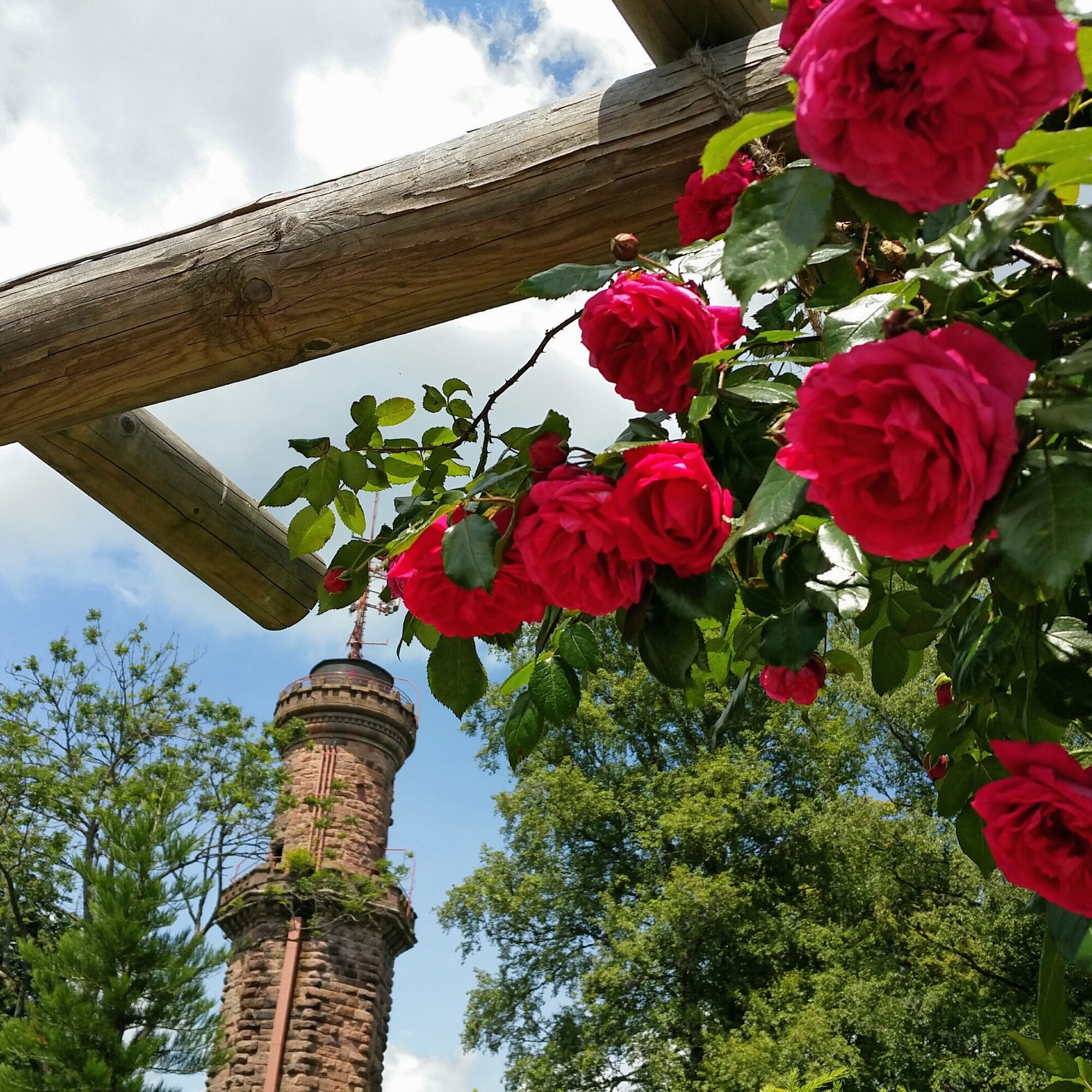
© Nationalparkregion Schwarzwald - Freudenstadt - Isabel Blüher-Hanas

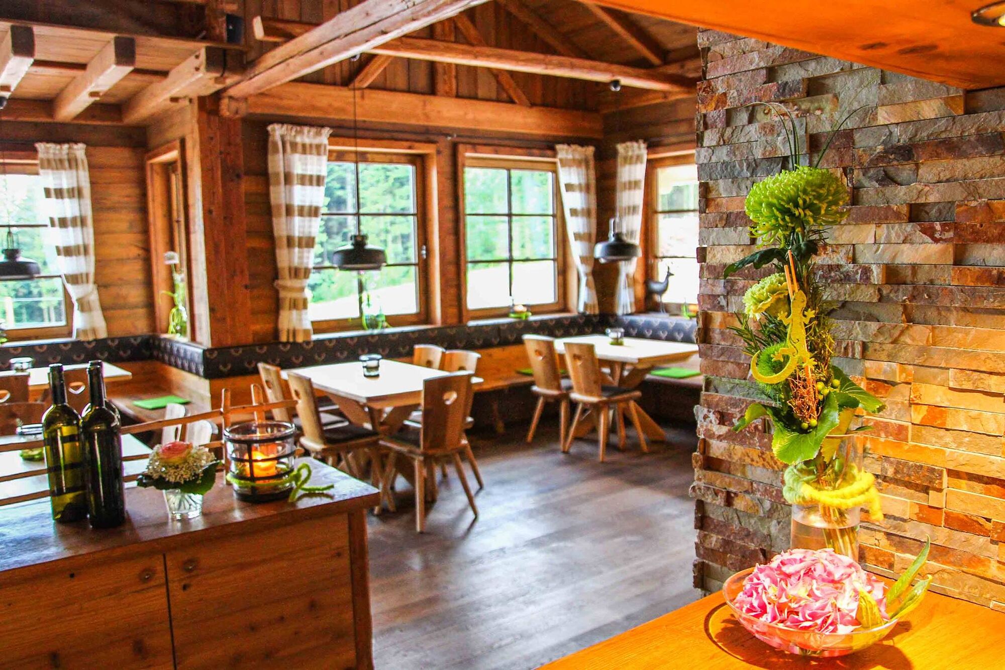
© Nationalparkregion Schwarzwald - Freudenstadt - Isabel Blüher-Hanas

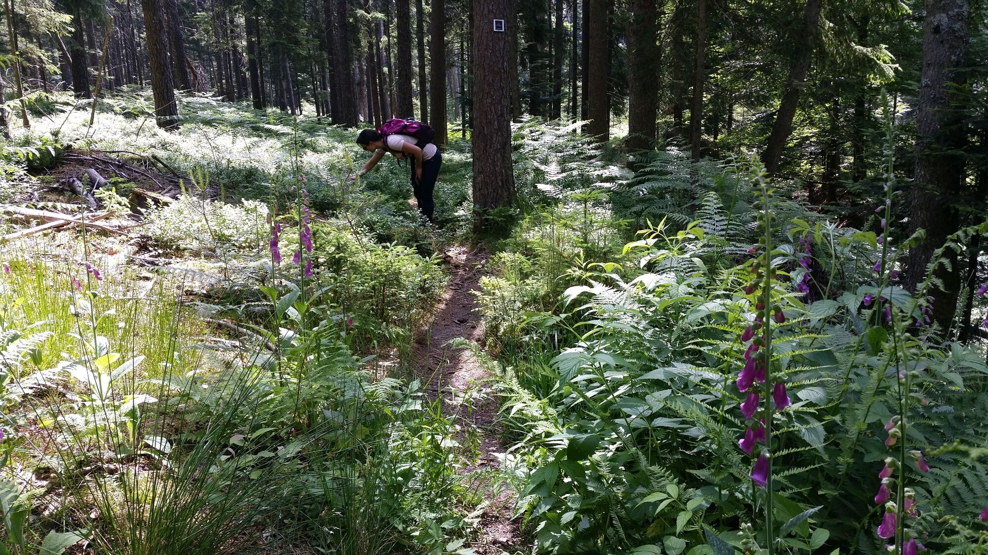
© Nationalparkregion Schwarzwald - Freudenstadt - Isabel Blüher-Hanas

© Nationalparkregion Schwarzwald - Freudenstadt - Freudenstadt Tourismus

© Nationalparkregion Schwarzwald - Freudenstadt - Isabel Blüher-Hanas

© Nationalparkregion Schwarzwald - Freudenstadt - Isabel Blüher-Hanas

© Berghütte Lauterbad - Steffen Schillinger
- Kratek opis
-
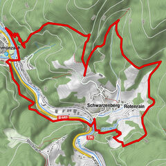
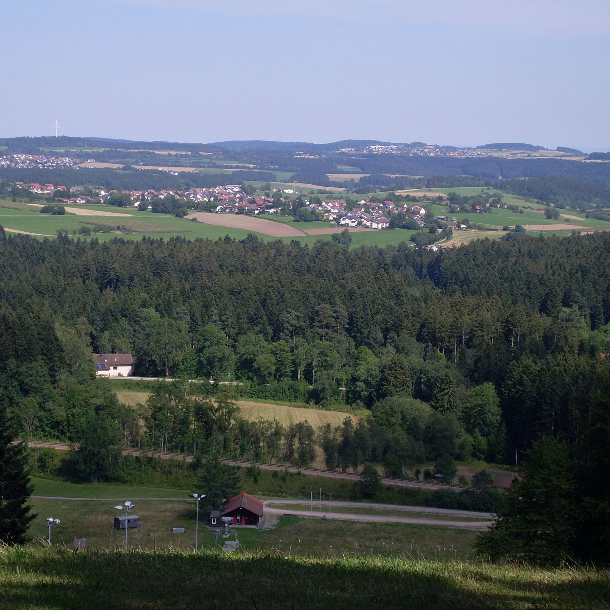
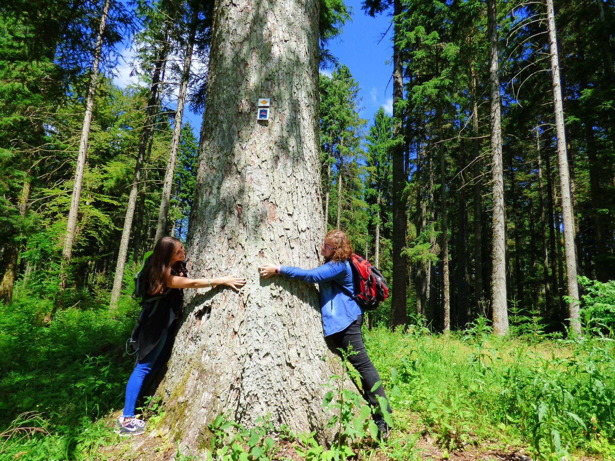
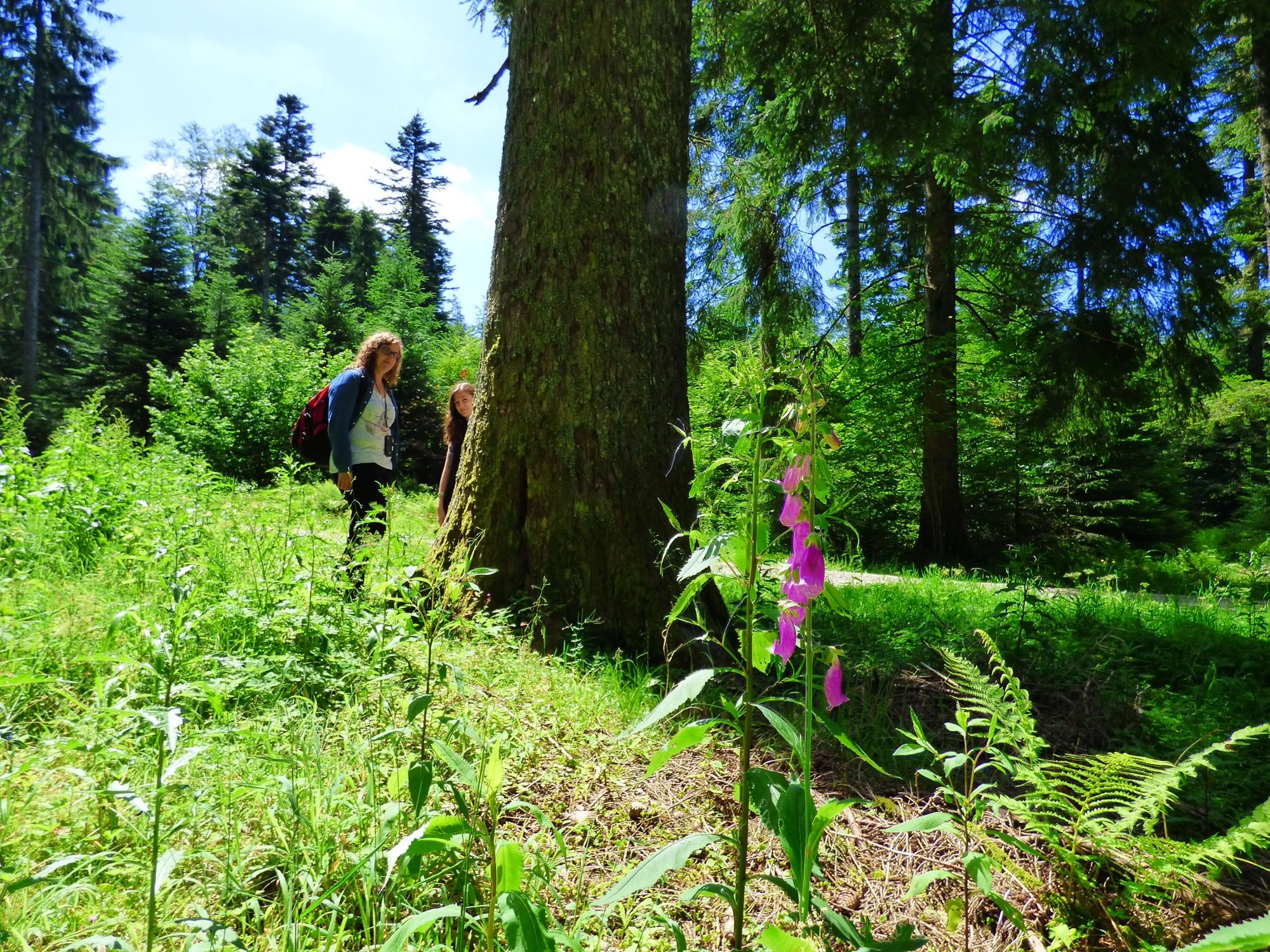
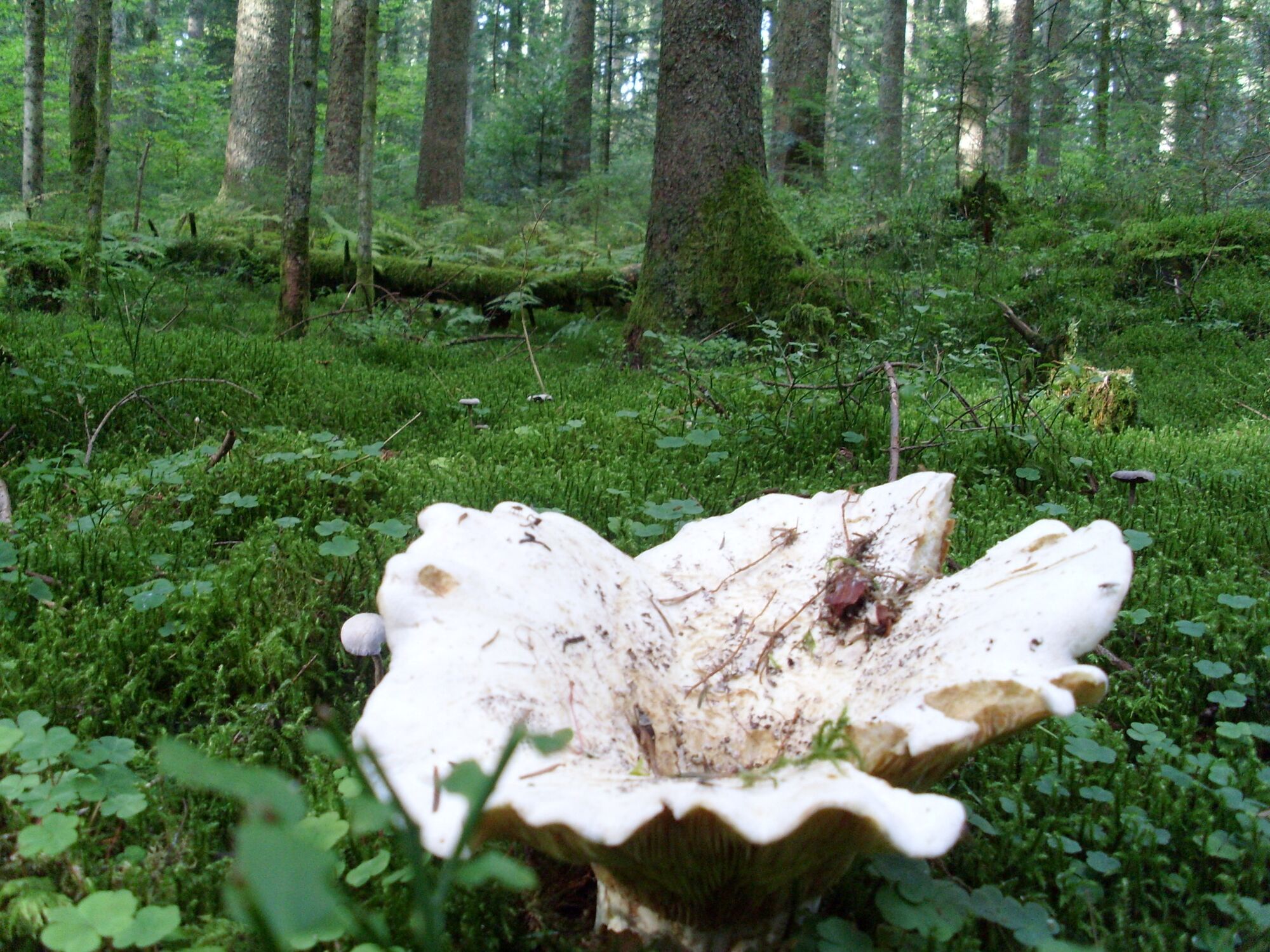
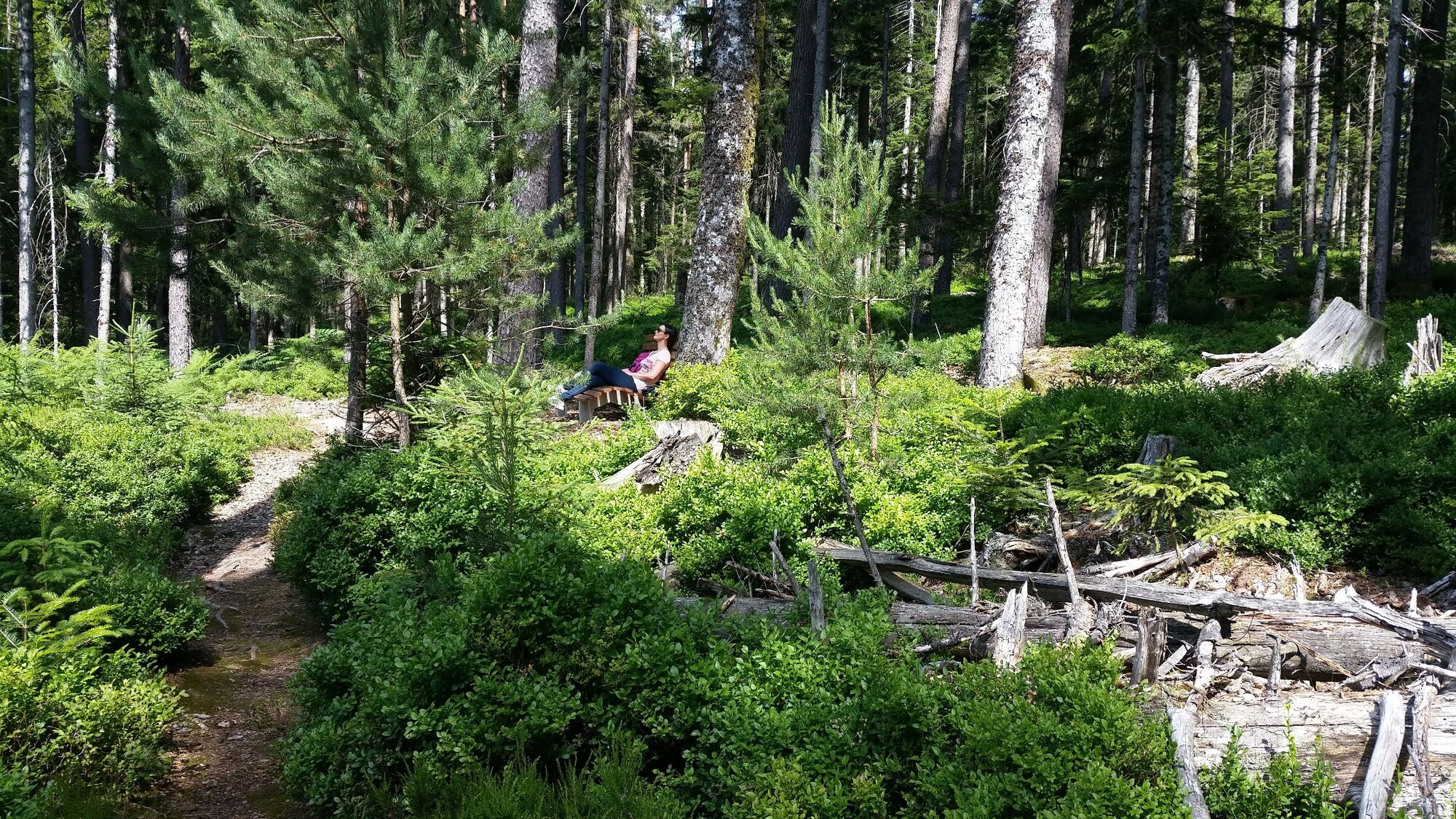
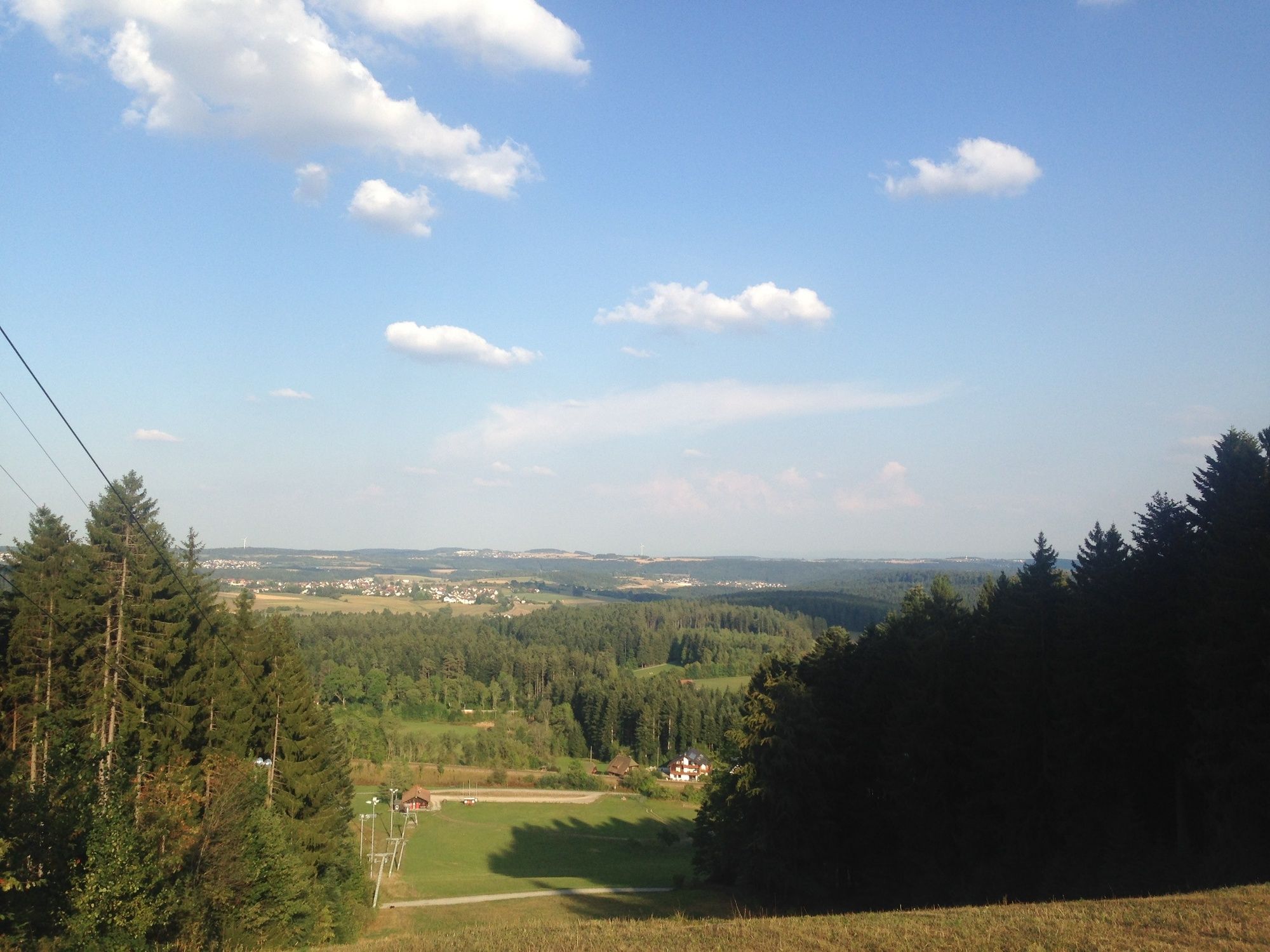
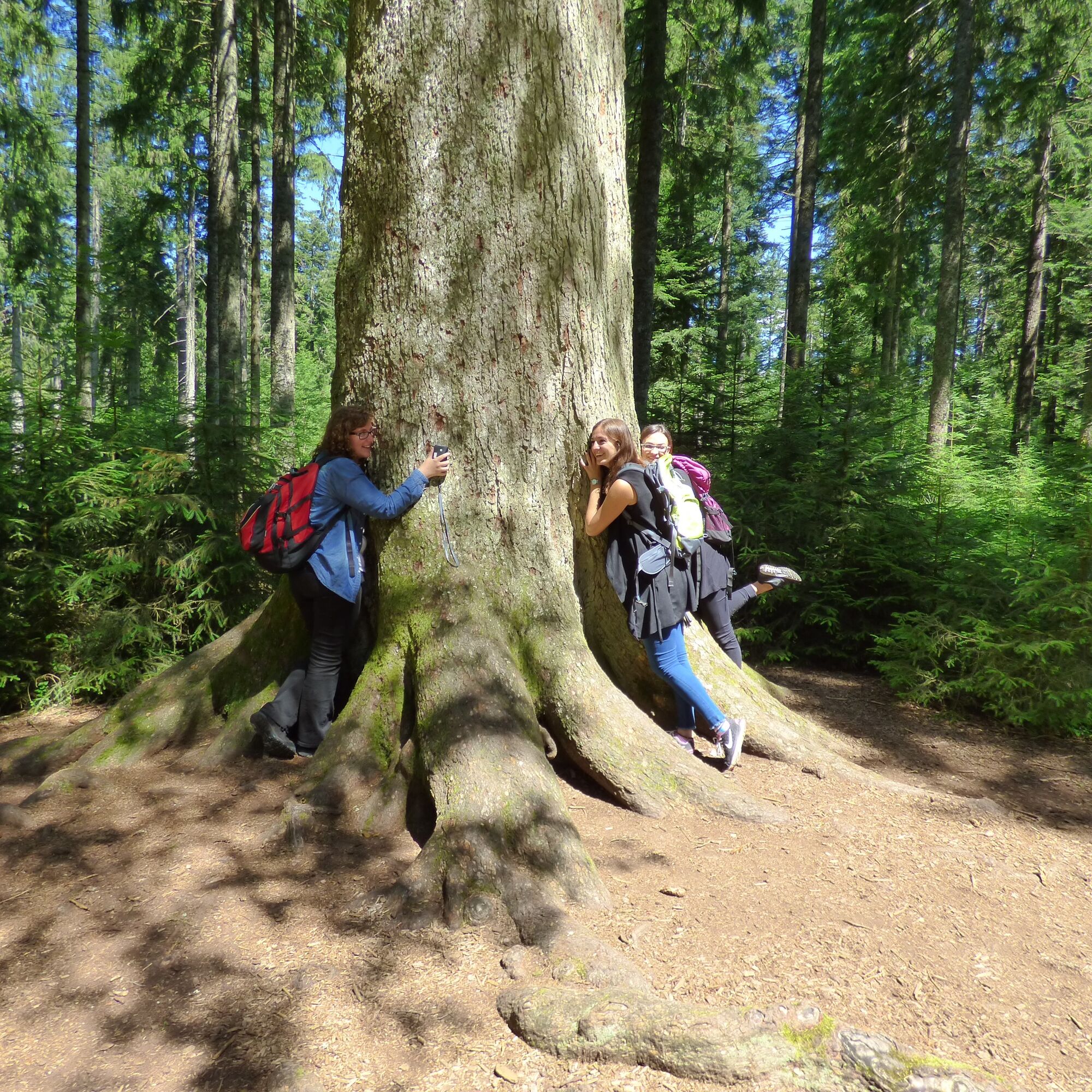
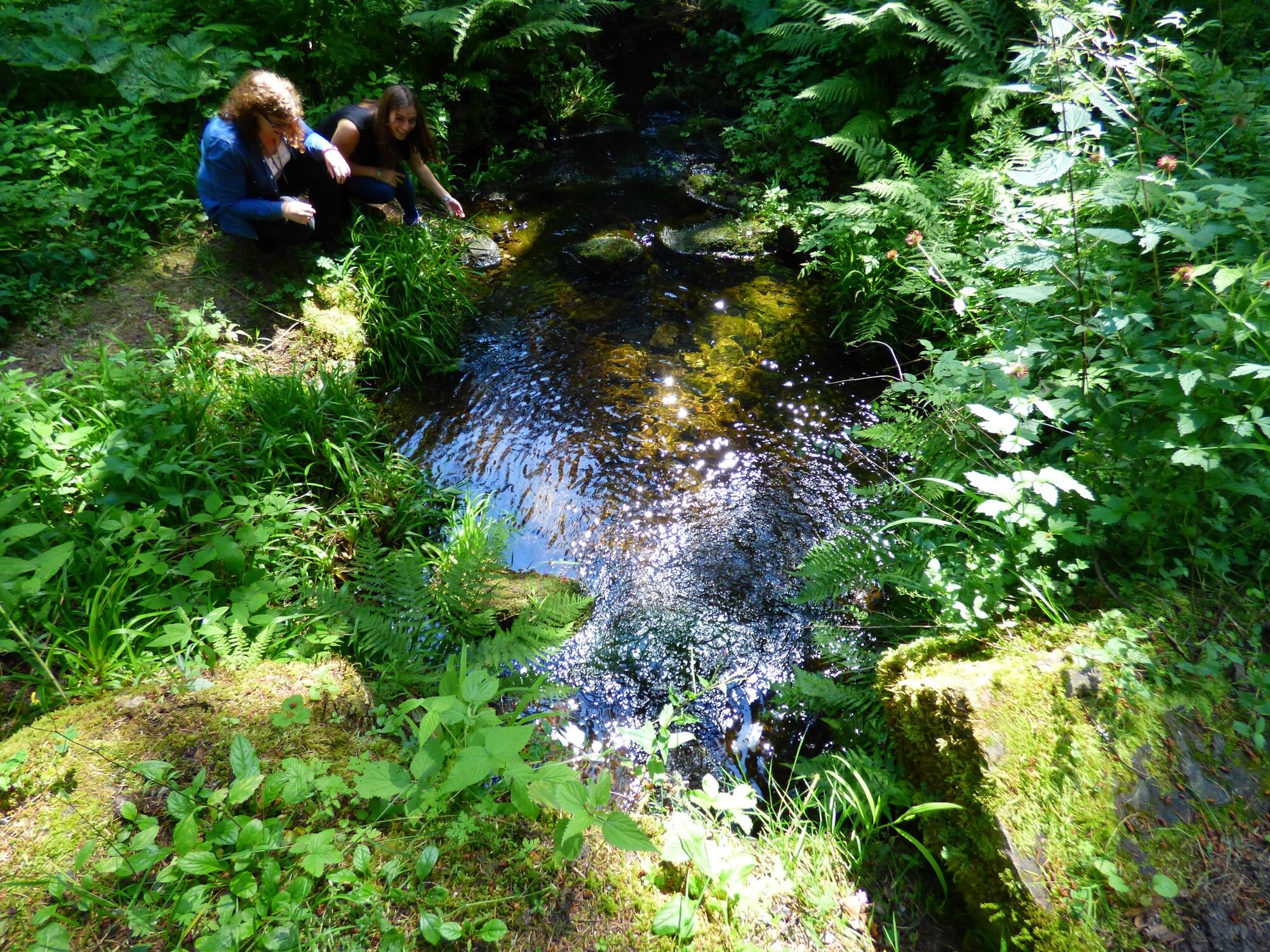
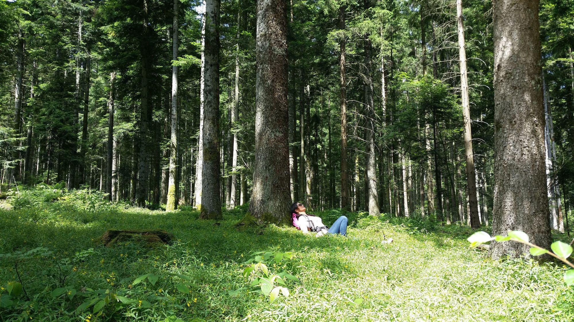
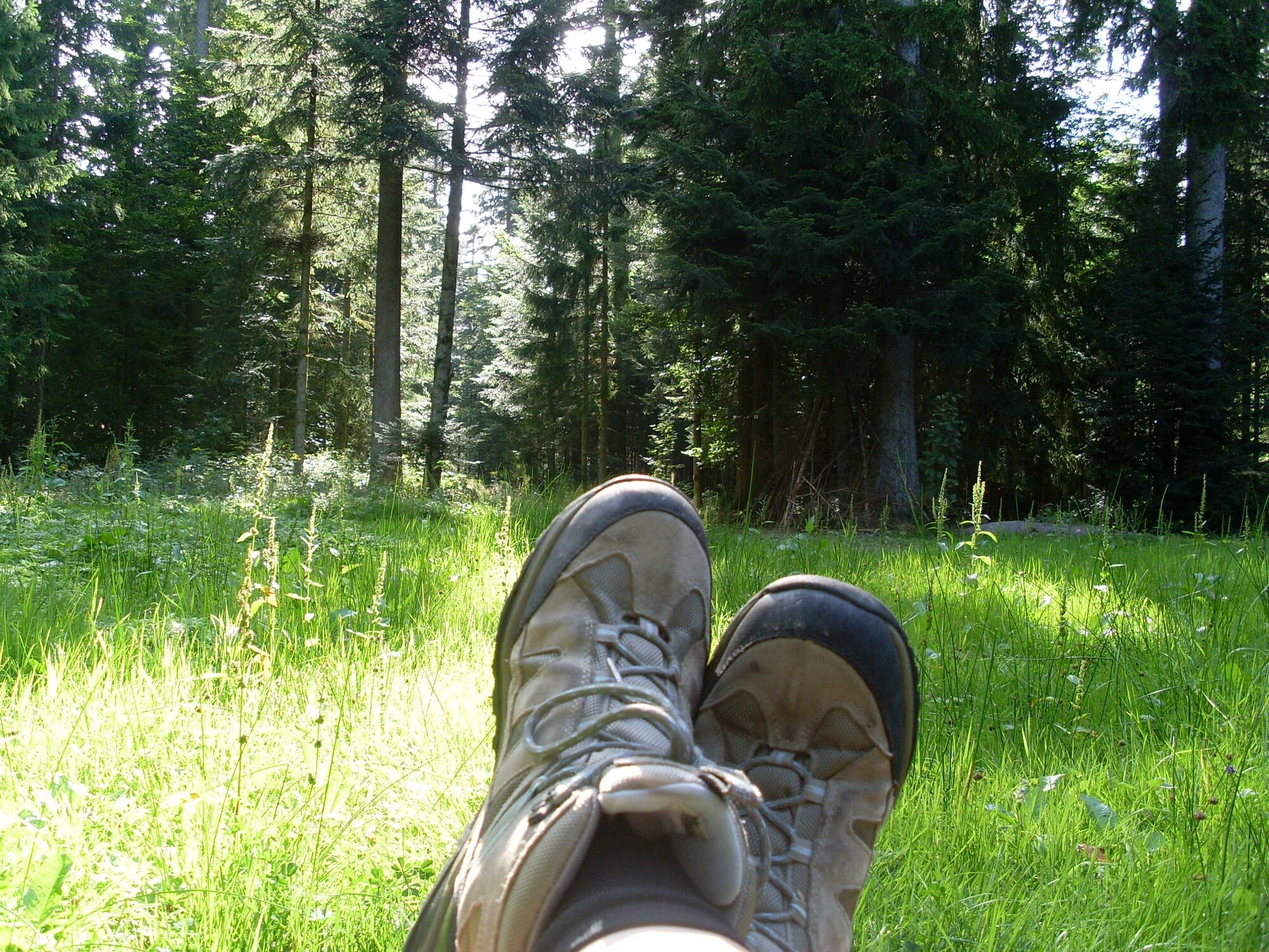
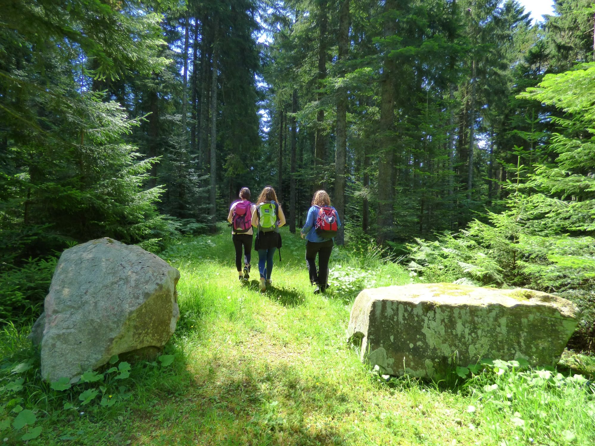
The Tannenriesen trail links the most beautiful locations in the Freudenstadt area. With its relatively modest inclines, it's perfect for hikers of all ages.
- Težavnost
-
enostavno
- Ocenjevanje
-
- Pot
-
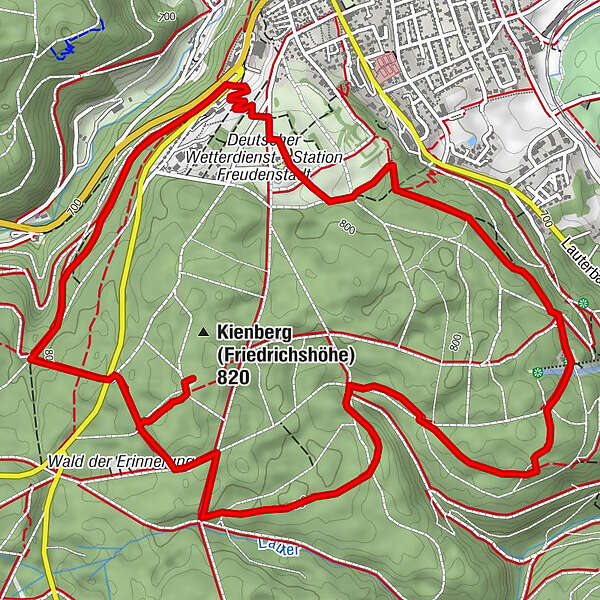
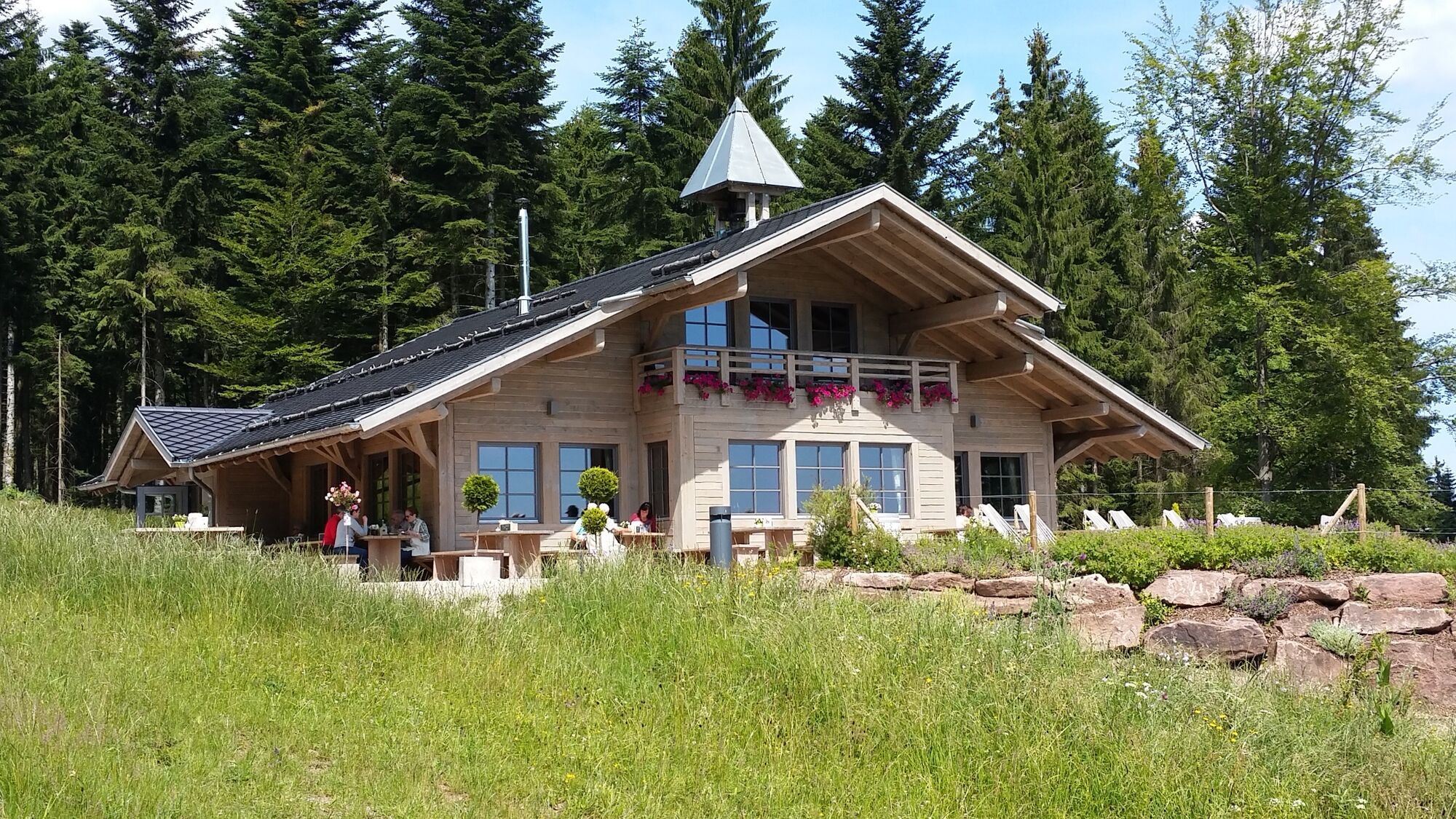
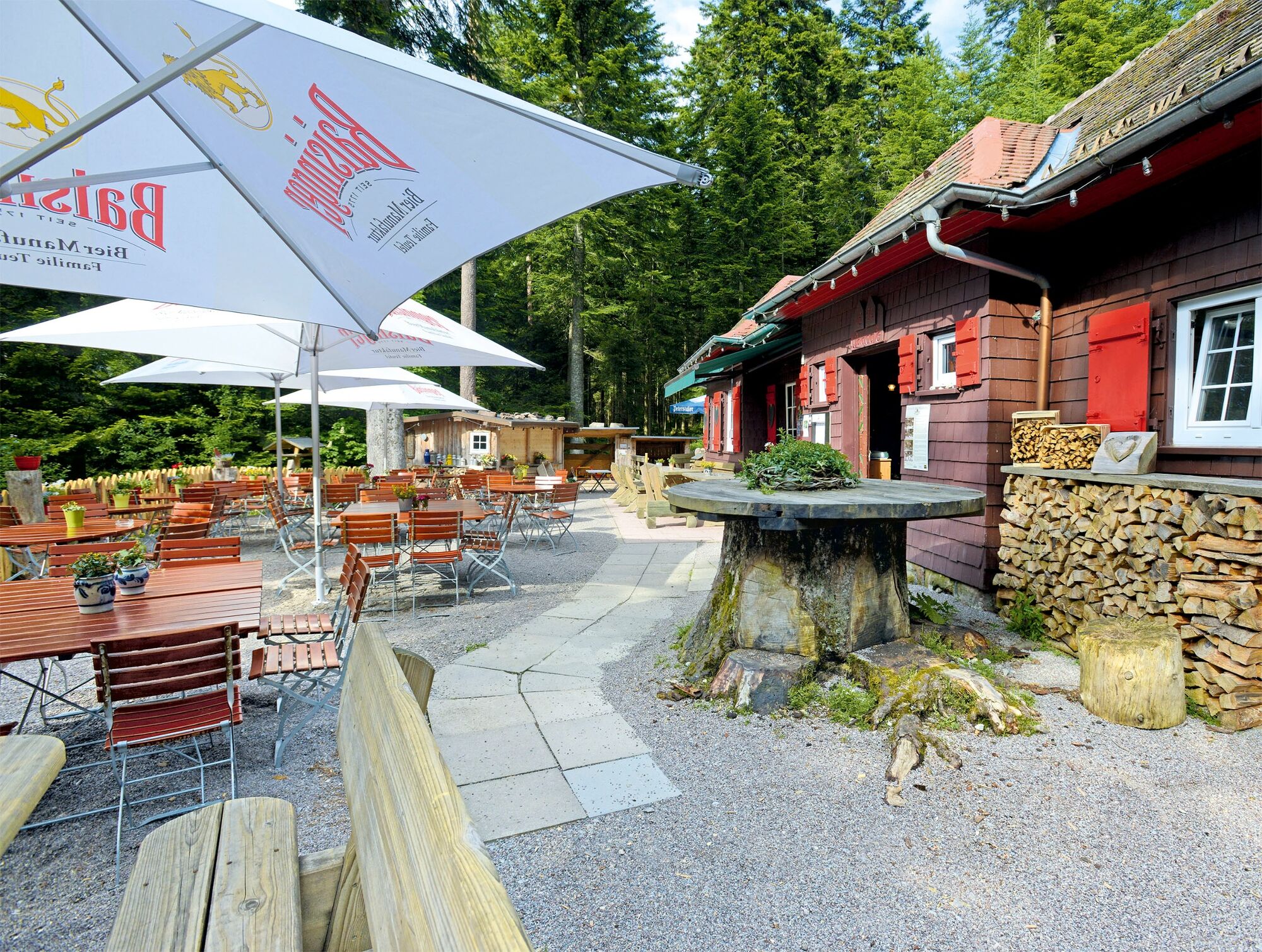
Waldcafé Teuchelwald1,0 kmBerghütte Lauterbad6,1 kmFriedrichs am Kienberg7,8 kmFreudenstadt (732 m)8,6 km
- Najboljša sezona
-
janfebmaraprmajjunjulavgsepoktnovdec
- Najvišja točka
- 820 m
- Destinacija
-
Car Park Teuchelwald ("Bässler Brücke") oder Car Park Schömberger Straße
- Profil nadmorske višine
-
 © outdooractive.com


-

-
AvtorTurneja Tannenriesen Freudenstadt trail uporablja outdooractive.com na spletni strani ..
GPS Downloads


Splošne informacije
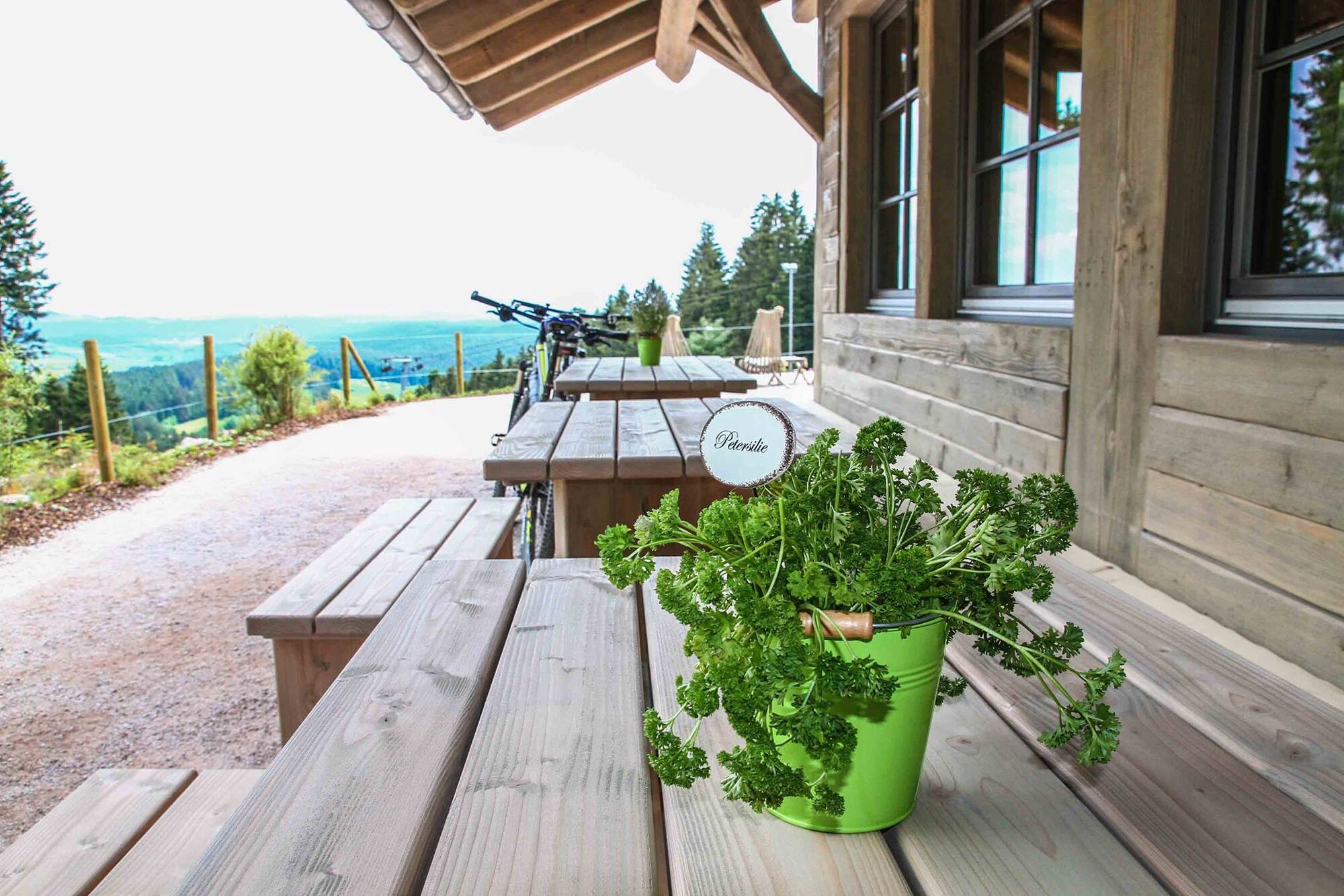
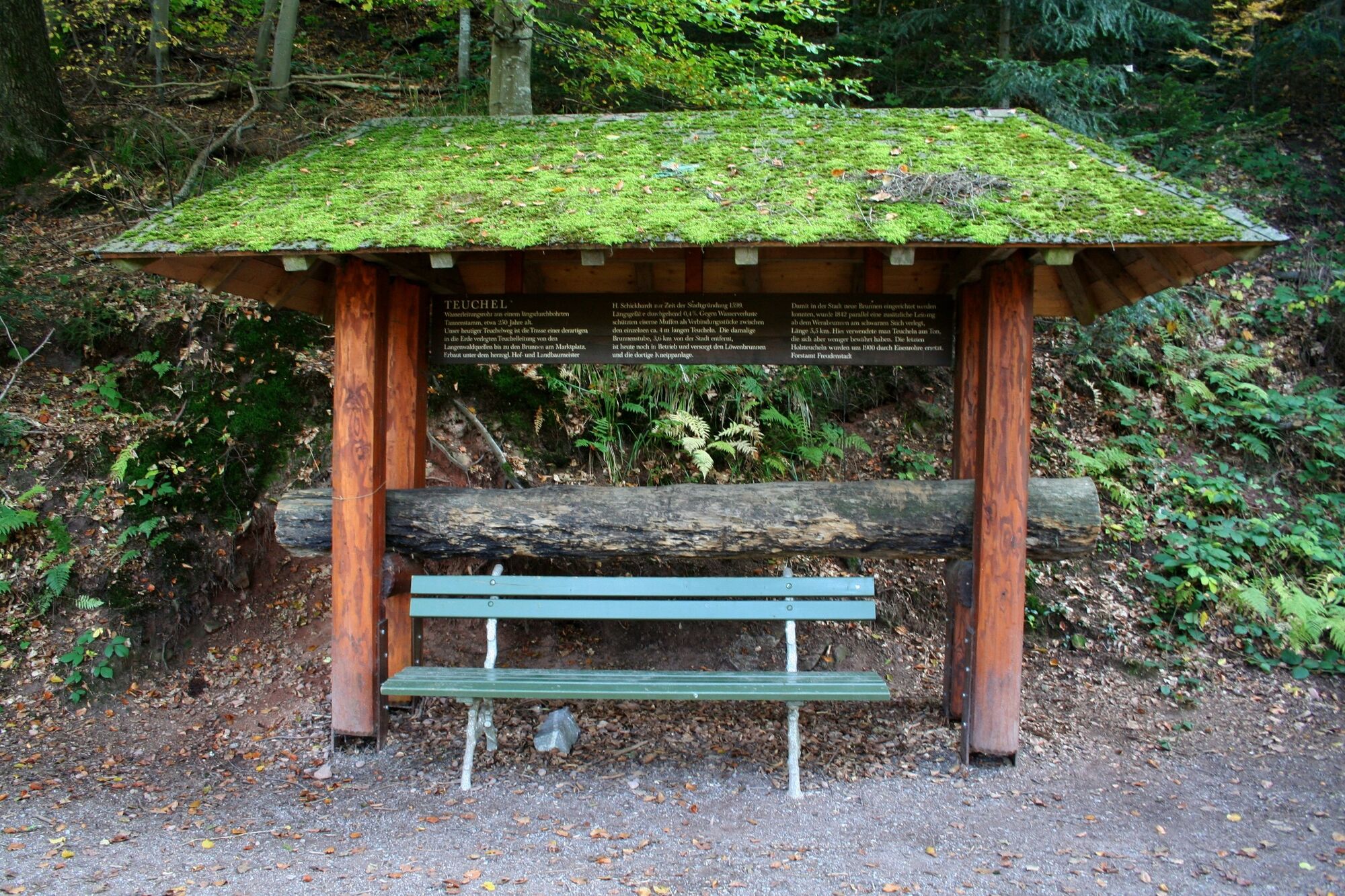
Postanek za osvežitev
Obetavno
Več izletov v regijah
-
Rottweil / Horb am Neckar
579
-
Loßburg
278