© Natur.Nah. Schönbuch & Heckengäu - Landratsamt Böblingen, Regionalentwicklung


- Kratek opis
-
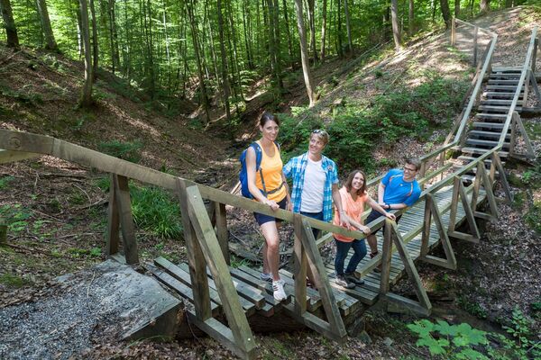
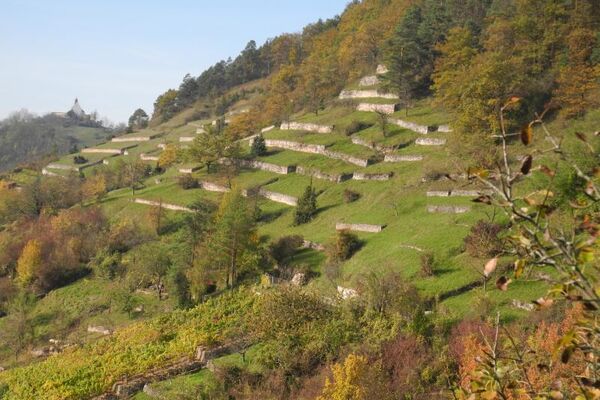
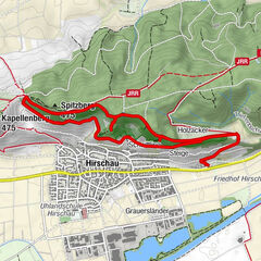
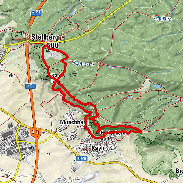
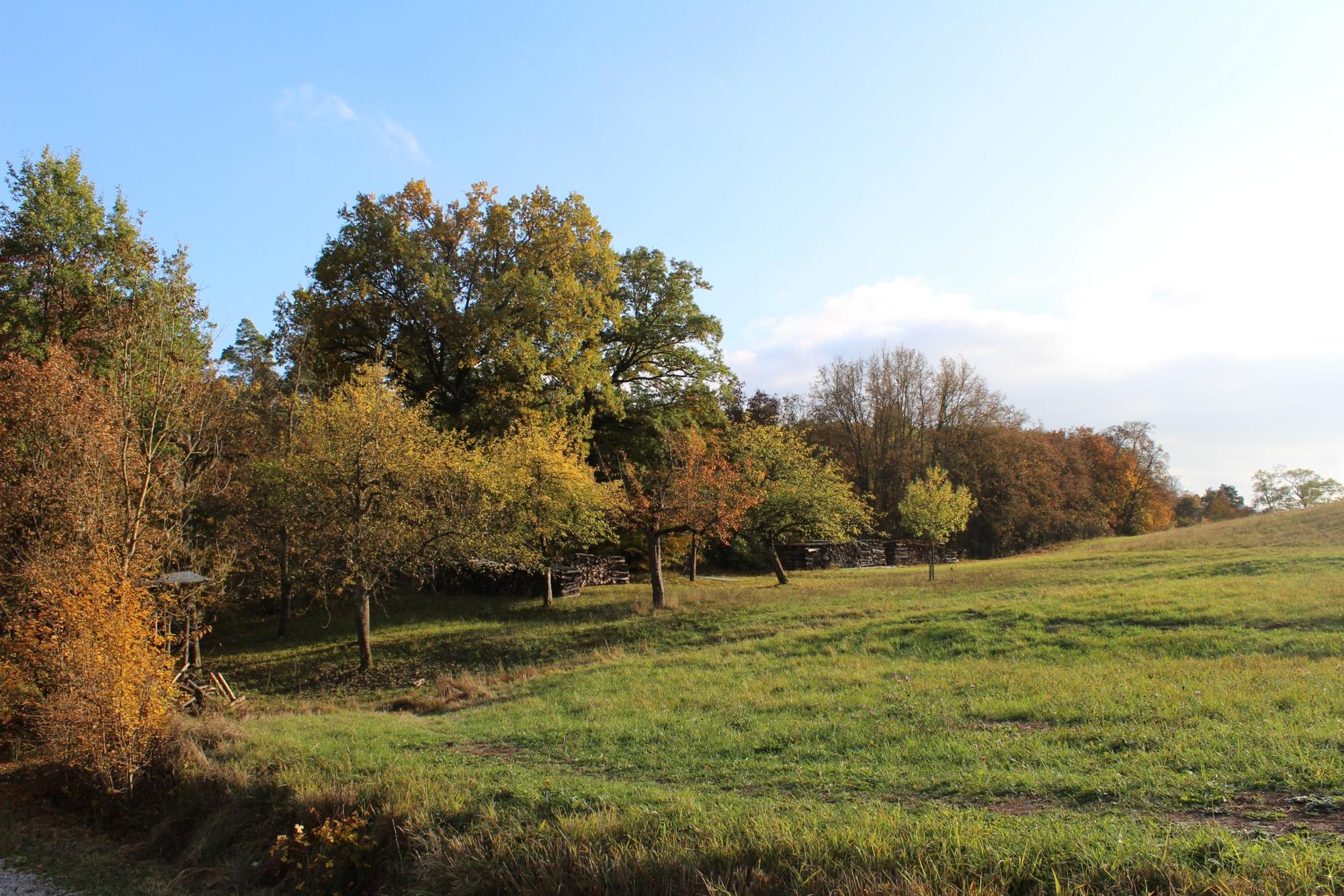
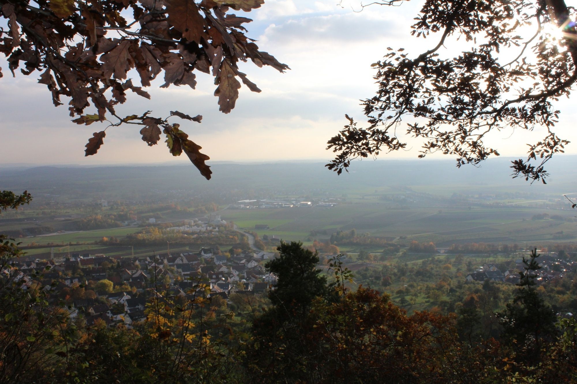
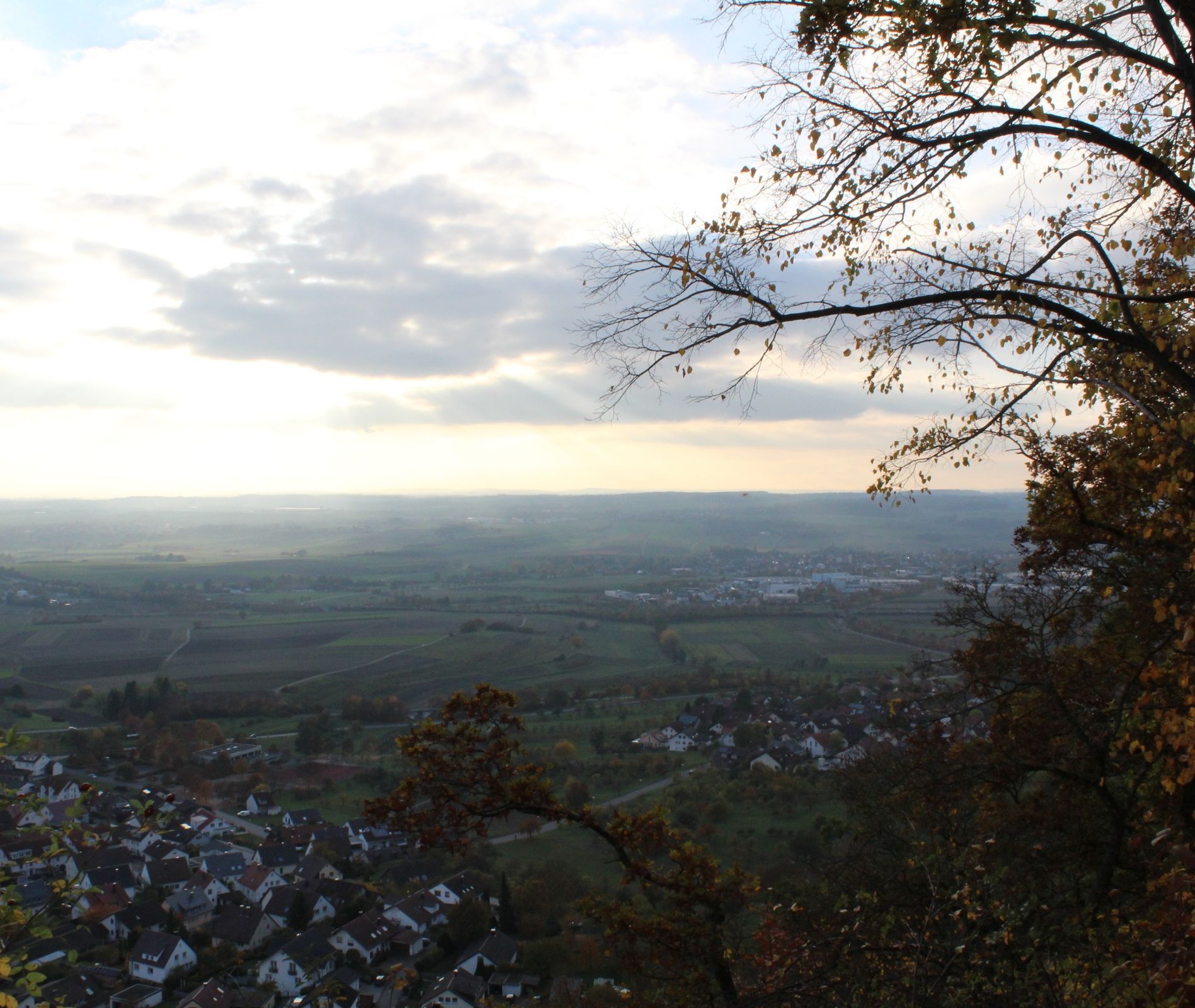
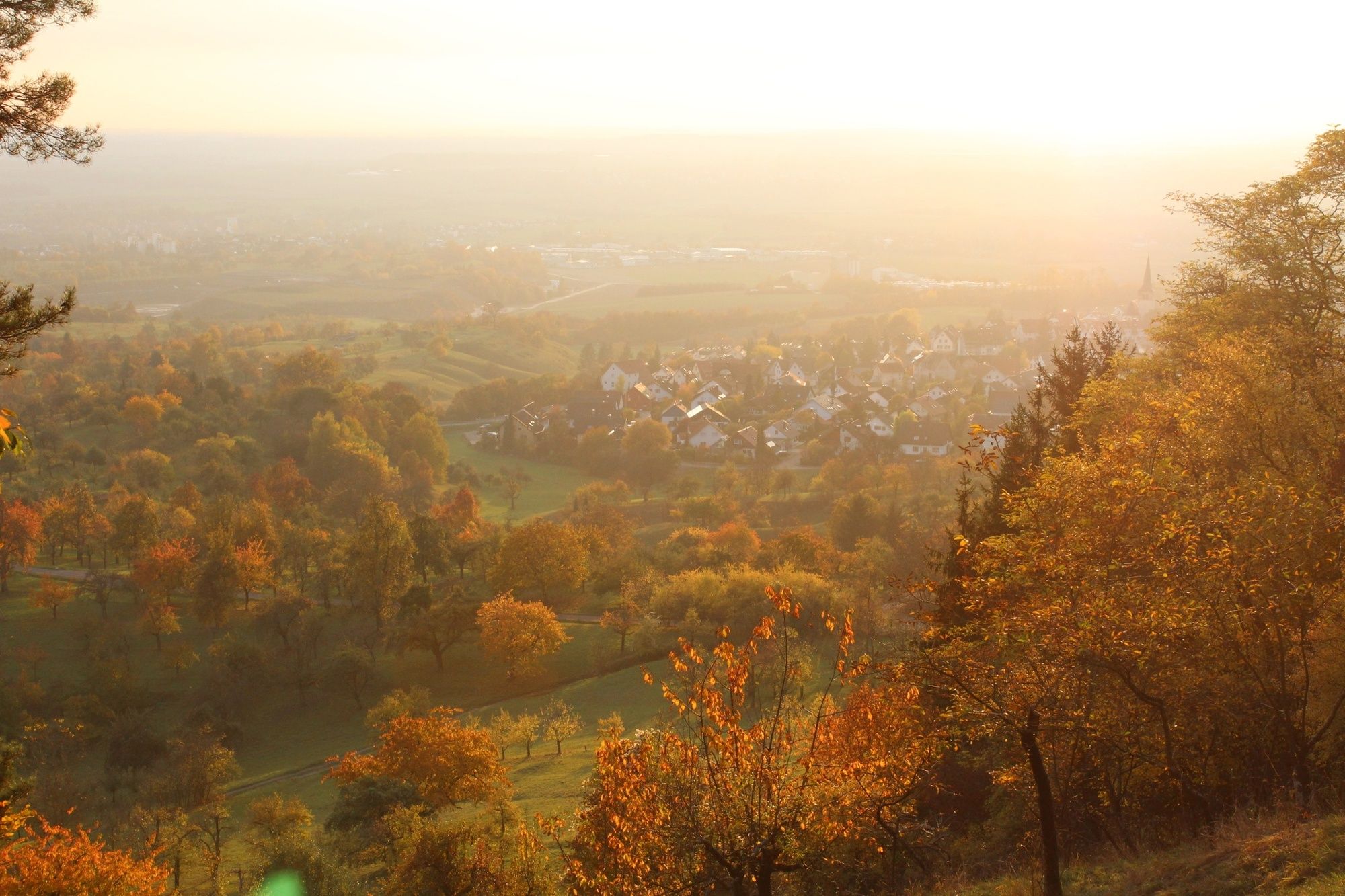
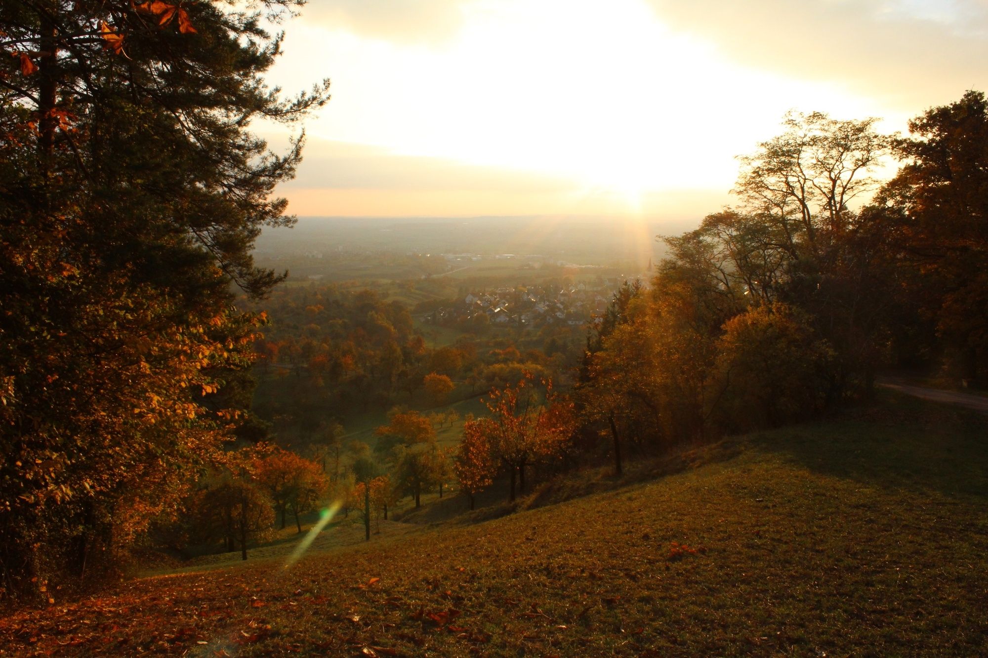
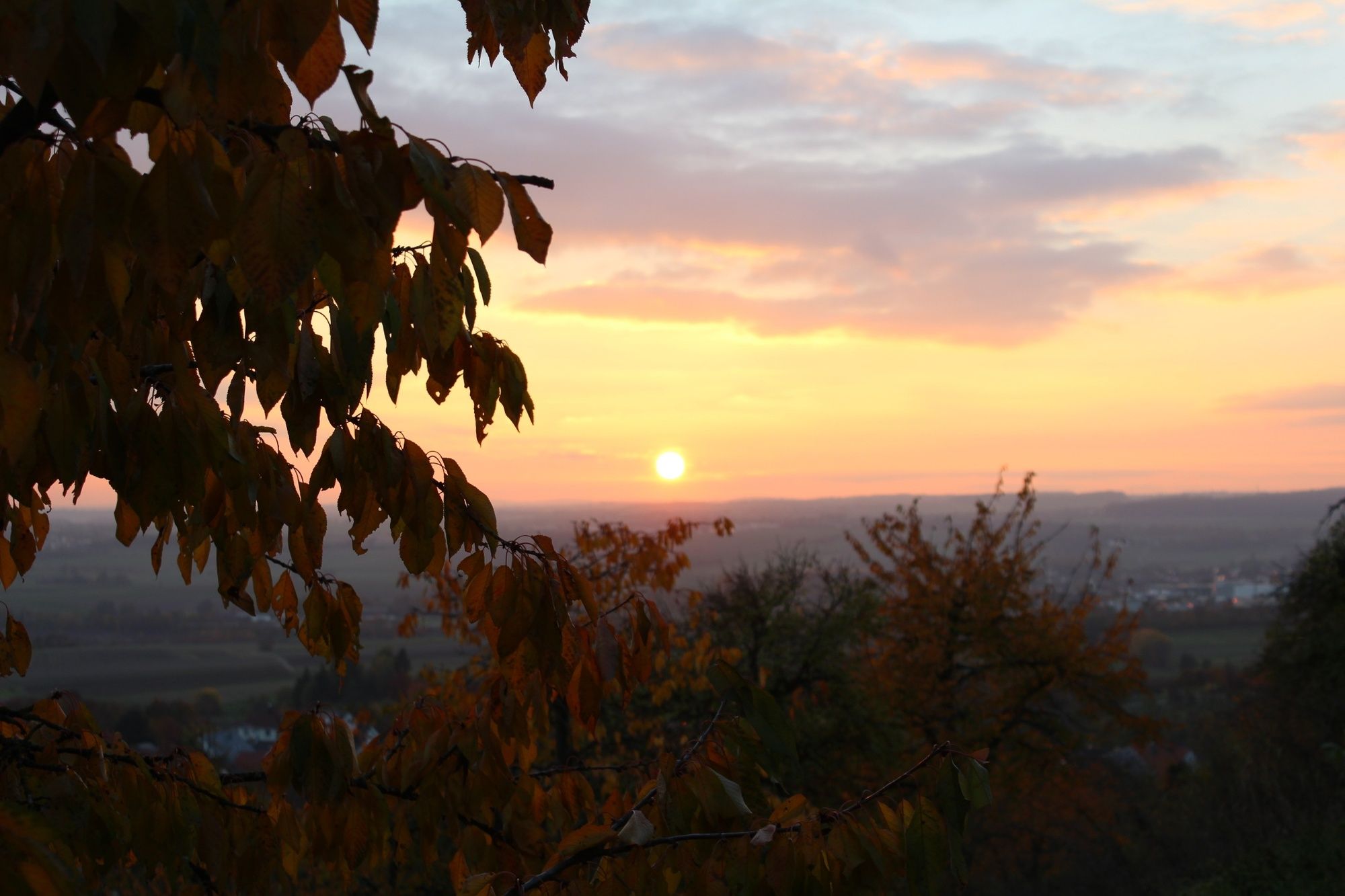
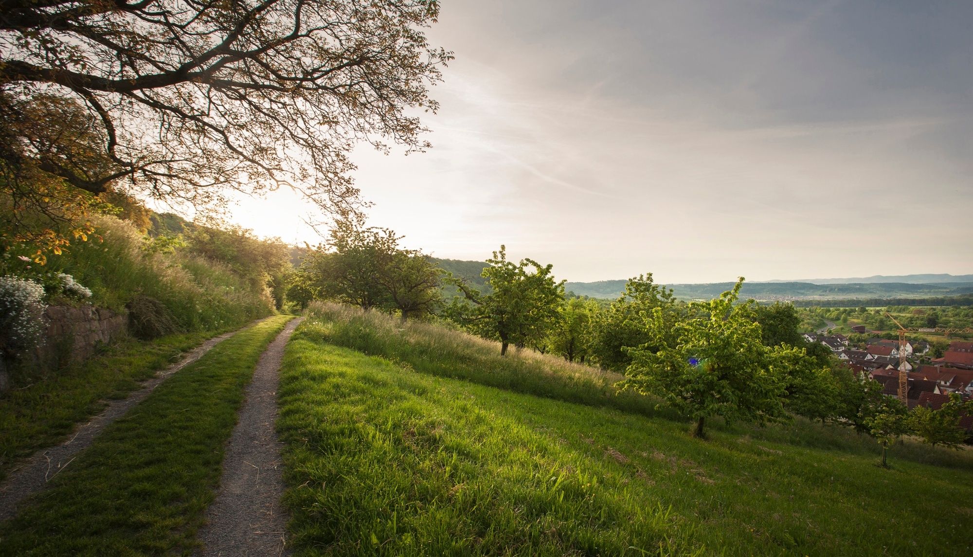
This atmospheric ridge walk along the southern Schönbuchtrauf* offers consistently breathtaking views of the wide Ammer Valley and the actually bluish shimmering wall of the Swabian Alb.
* Trauf is a german Word which describes a kind of edge of a certain part or area of a terrain. In most cases quite steeply sloping.
- Težavnost
-
srednja
- Ocenjevanje
-
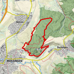
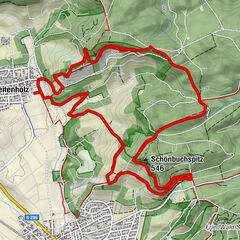
- Pot
-
Herrenberg (460 m)0,0 kmSchützenhaus Mönchberg3,5 kmMönchberg3,5 kmGrafenberg (550 m)4,1 kmKayh6,8 kmHotel & Restaurant Kaiser7,4 kmMönchberg7,6 kmKapf (566 m)9,8 kmHerrenberg (460 m)10,3 km
- Najboljša sezona
-
janfebmaraprmajjunjulavgsepoktnovdec
- Najvišja točka
- 565 m
- Destinacija
-
Waldfriedhof Herrenberg
- Profil nadmorske višine
-
 © outdooractive.com


- Avtor
-
Turneja Land.Tour SchönbuchTrauf uporablja outdooractive.com na spletni strani ..
GPS Downloads


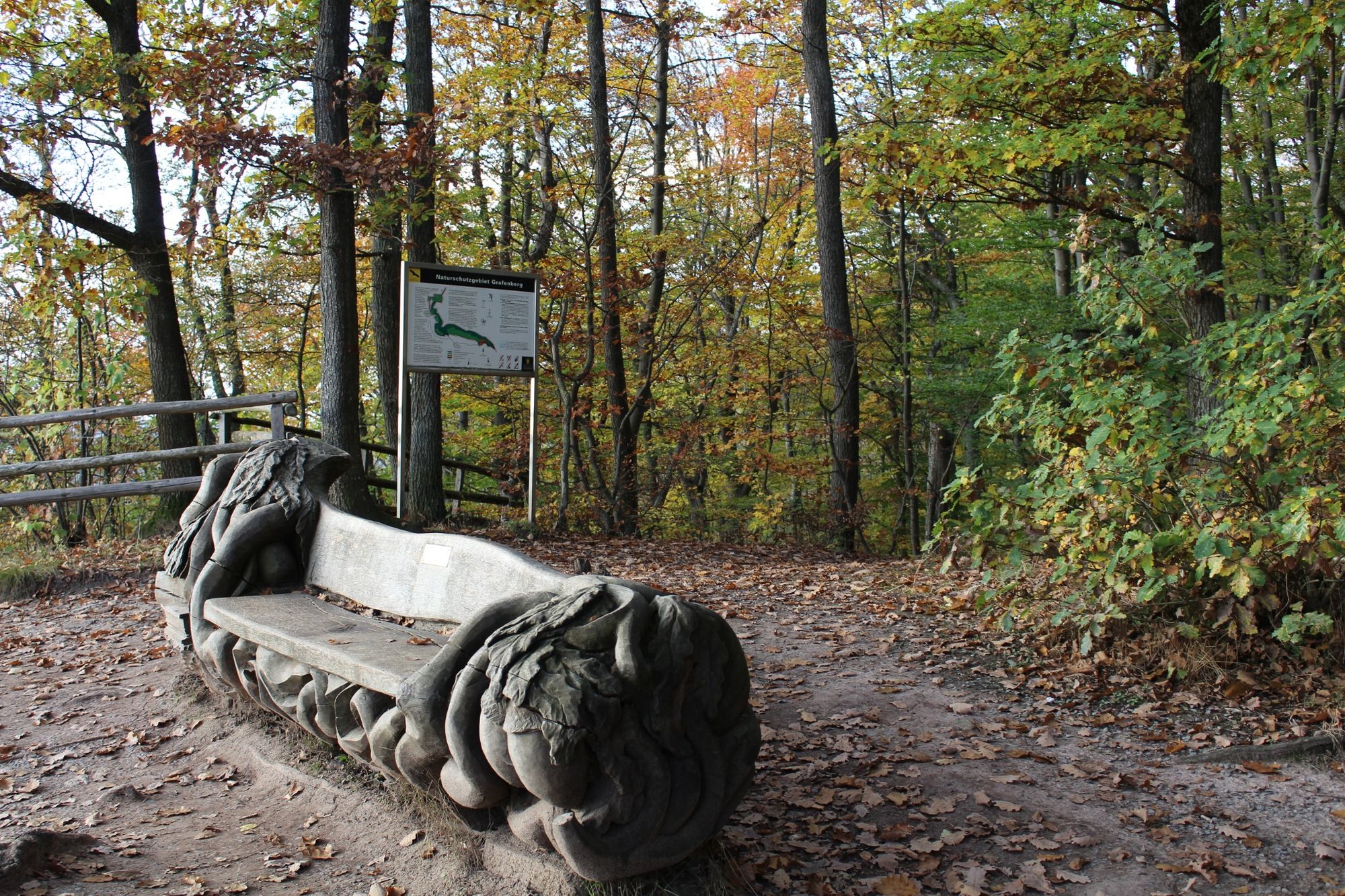
Splošne informacije
Postanek za osvežitev
Flora
Favna
Obetavno
Več izletov v regijah