© Walter Biselli

© Walter Biselli

© Unbekannt

© Unbekannt

© Unbekannt

© Quellregion Donau - Alpstein GmbH & Co.KG

© Walter Biselli

© Unbekannt

© Unbekannt

© Unbekannt
Datumi turnej
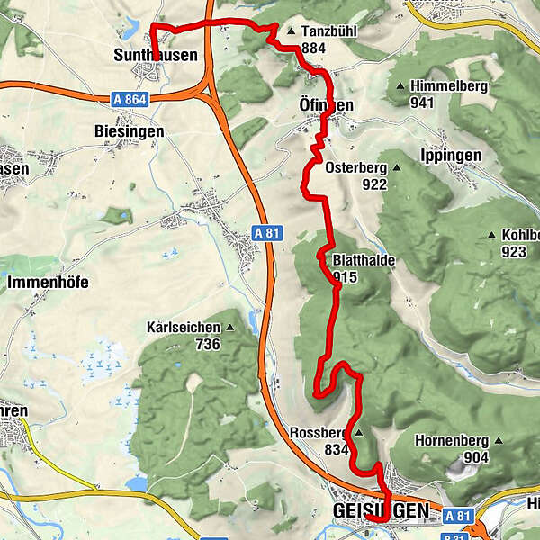
17,64km
667
- 904m
339hm
328hm
05:30h
- Kratek opis
-
Vom Schwarzwald geht es nun hinunter ins Donautal. Wir folgen der schwarz-roten Raute von Bad Dürrheim-Sunthausen über Öfingen aussichtsreich bis nach Geisingen an der Donau.
- Težavnost
-
srednja
- Ocenjevanje
-
- Pot
-
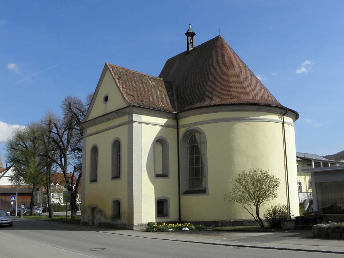
Sunthausen (703 m)St. Mauritius0,0 kmÖfingen5,7 kmBlatthalde (915 m)9,5 kmGeisingen17,3 kmStadtkirche St. Nikolaus17,5 km
- Najboljša sezona
-
janfebmaraprmajjunjulavgsepoktnovdec
- Najvišja točka
- 904 m
- Destinacija
-
Geisingen
- Profil nadmorske višine
-
 © outdooractive.com


- Avtor
-
Turneja Ostweg: Bad Dürrheim-Sunthausen - Geisingen uporablja outdooractive.com na spletni strani ..
GPS Downloads


Splošne informacije
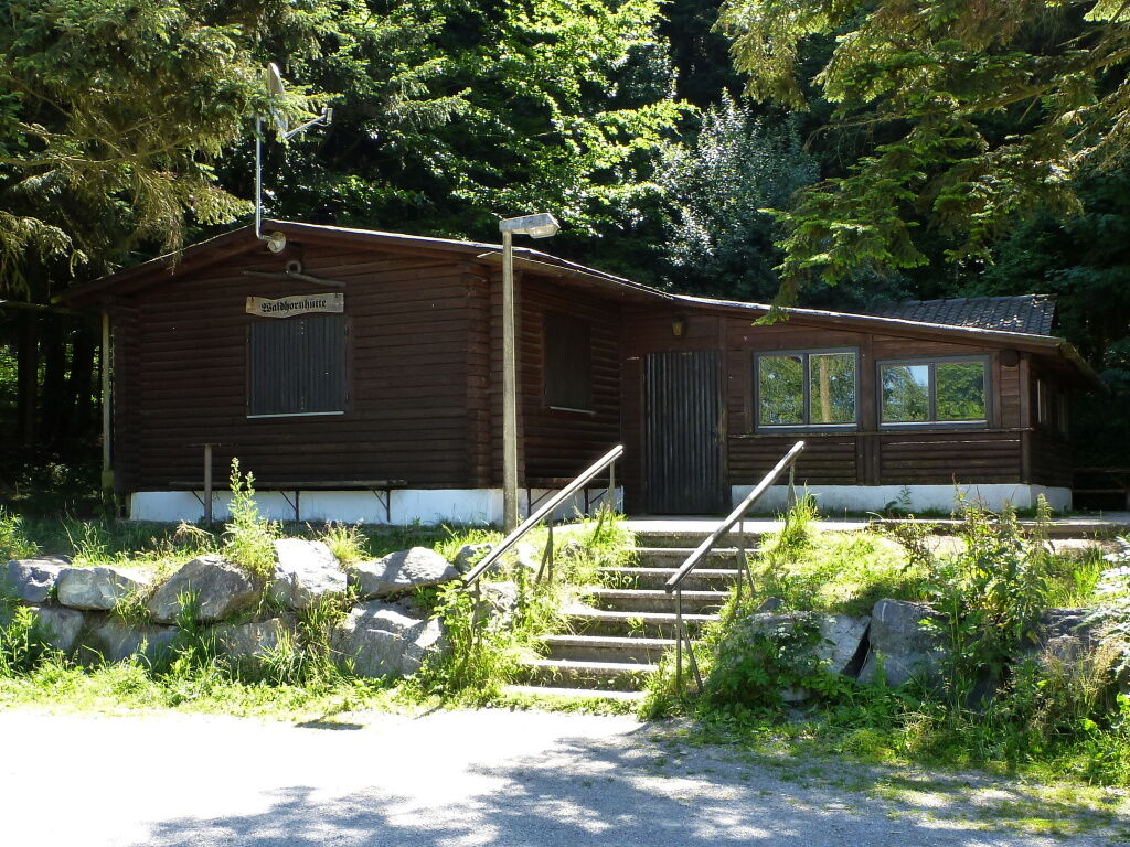
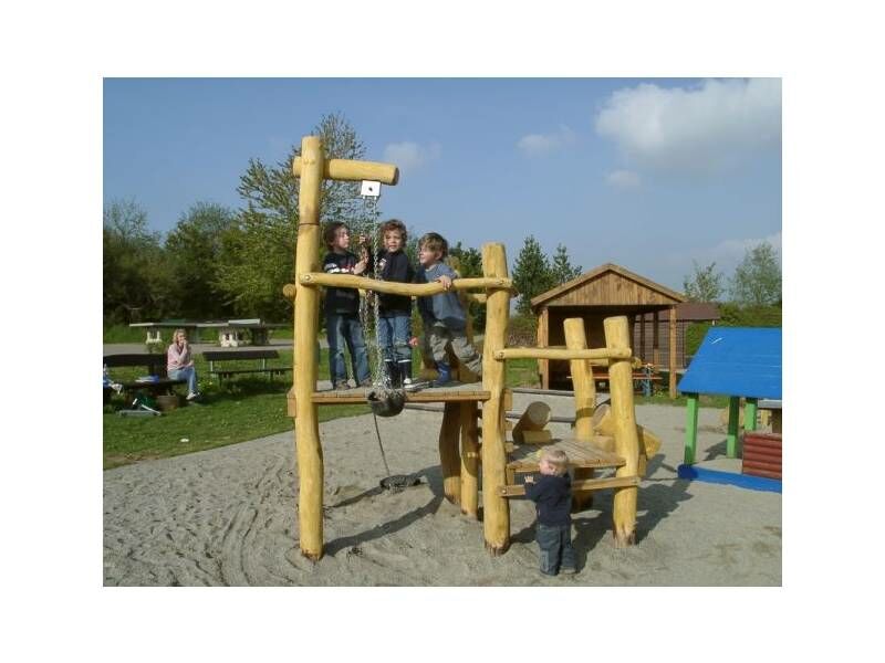
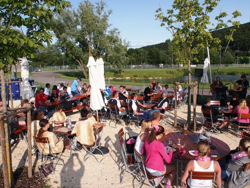
Postanek za osvežitev
Flora
Obetavno
Več izletov v regijah
-
SchaffhauserLand
1027
-
Naturpark Obere Donau
241
-
Geisingen
41