

© Hotel Lumbergerhof - Hotel Lumberger Hof

© Hotel Lumbergerhof - Hotel Lumberger Hof

- Kratek opis
-
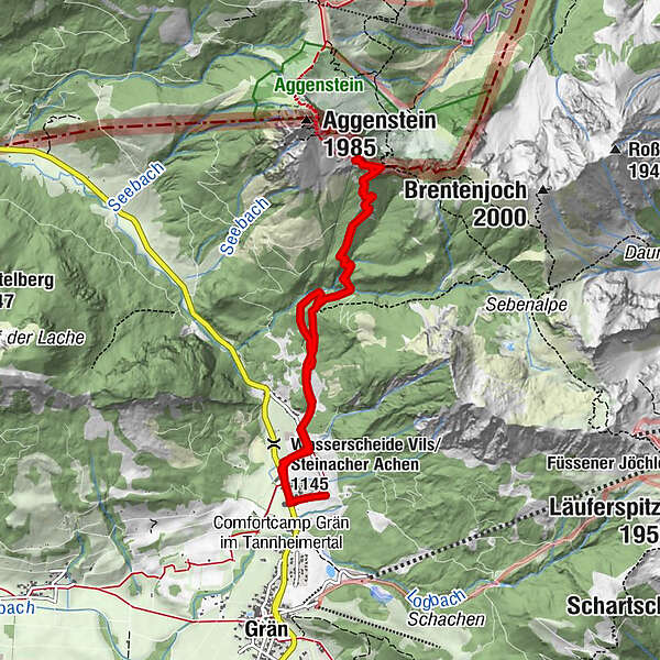
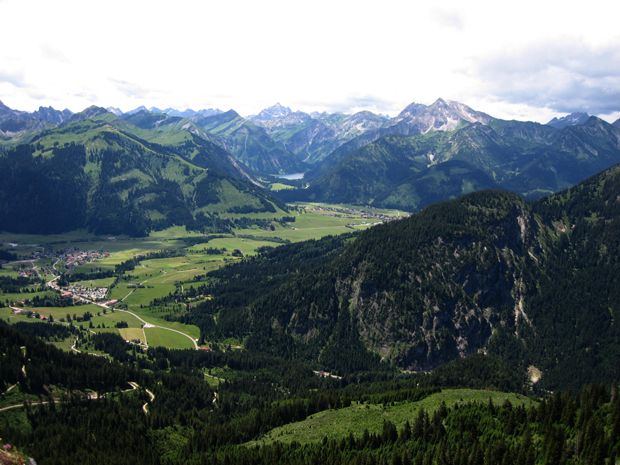
One of the most famous hiking tours in the Tannheimertal. The wounderful view over the Tannheimertal on one side and over the German Allgäu on the other side is the reason.
- Pot
-
Lumberg0,2 kmBad Kissinger Hütte3,6 kmLumberg7,5 km
- Najvišja točka
- 1.776 m
- Profil nadmorske višine
-

-

-
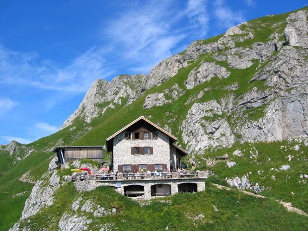
AvtorTurneja Bad Kissinger Hut 1790m uporablja outdooractive.com na spletni strani ..
GPS Downloads


Več izletov v regijah
-
Allgäu
2357
-
Tannheimer Tal
1454
-
Grän-Haldensee - Füssener Jöchle
567


