Ebner Willi


Datumi turnej
2km
321
- 424m
-
02:30h
- Ocenjevanje
-
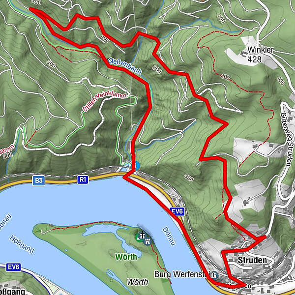
- Izhodiščna točka
-
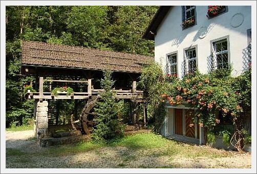
Gießenbachmühle am Eingang zur Stillensteinklamm
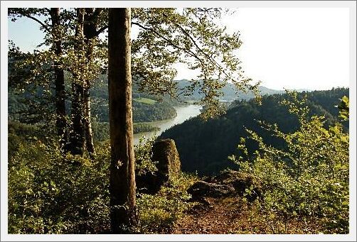
- Najvišja točka
- 424 m
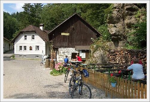
- Počitek/Umik
-
Jausenstation Gießenbachmühle
- Gradivo za zemljevid
-
www.wandern.struden.at
GPS Downloads


Razmere na poti
Asfalt
Gramoz
Meadow
Forest
Rock
Razkrita stran
Več izletov v regijah
-
Mostviertel
2453
-
Strudengau
802
-
St. Nikola an der Donau
200